Lawn Plantation
Wood, Forest in Pembrokeshire
Wales
Lawn Plantation
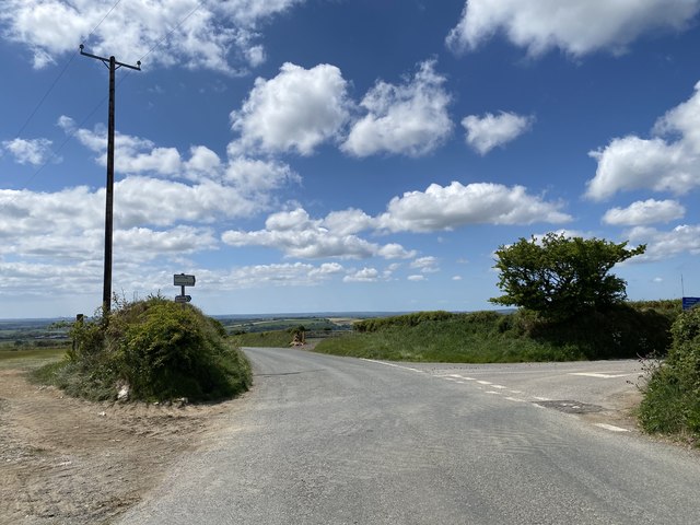
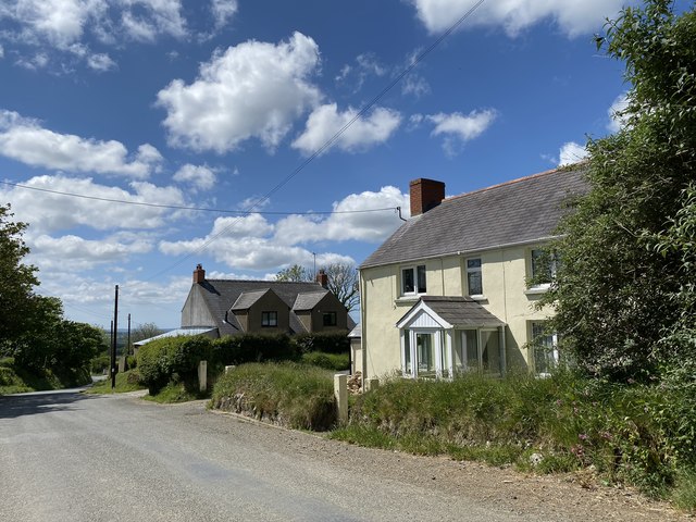
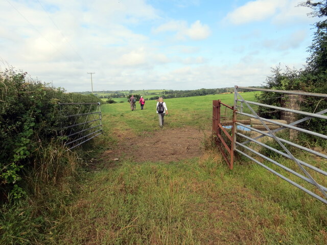
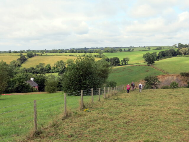
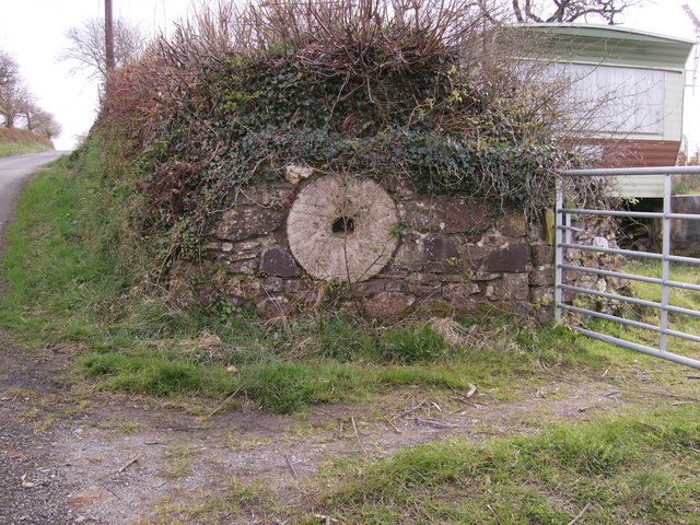
Lawn Plantation, located in Pembrokeshire, Wales, is a stunning woodland area renowned for its natural beauty and diverse flora and fauna. Spanning over a vast expanse of land, this enchanting forest is a popular destination for nature enthusiasts and outdoor adventurers alike.
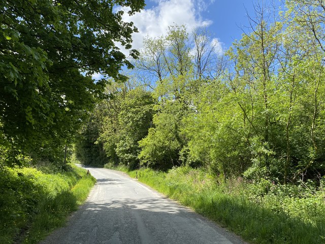
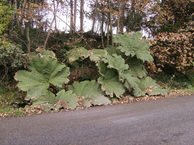
The plantation boasts an impressive collection of woodlands, comprising a mixture of native and non-native tree species. Towering oak and beech trees dominate the landscape, providing a dense canopy that creates a cool and tranquil ambiance. The forest floor is covered with a rich carpet of mosses, ferns, and wildflowers, adding to the area's charm and ecological significance.
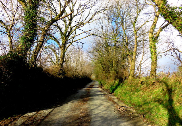
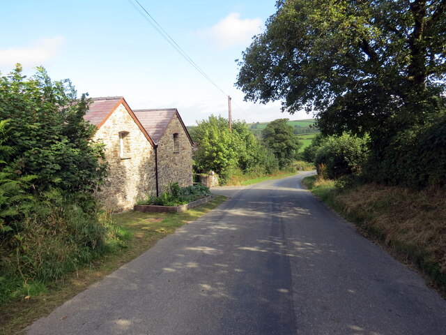
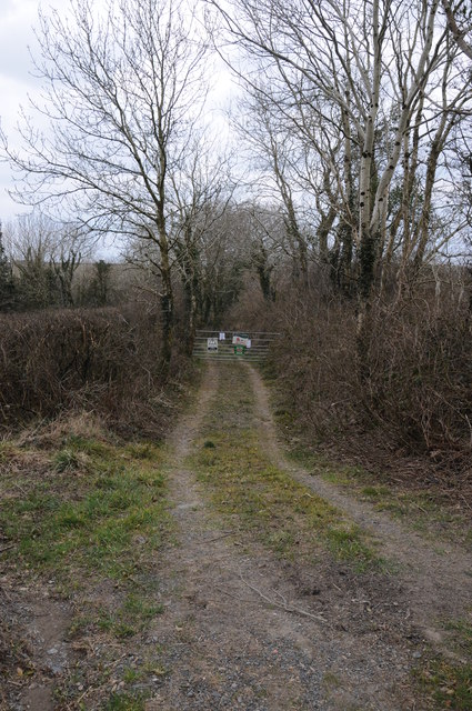
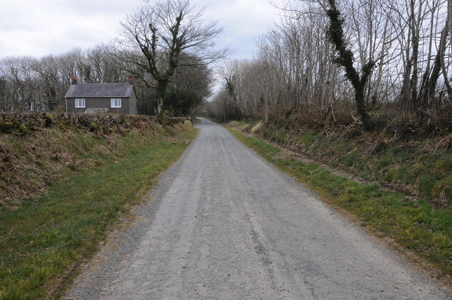
Visitors to Lawn Plantation can explore its many winding footpaths and trails, which meander through the woods and offer breathtaking views of the surrounding countryside. The area is home to an abundance of wildlife, including various bird species, such as woodpeckers and songbirds, as well as small mammals like foxes, badgers, and rabbits.
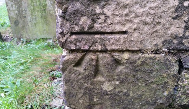
For those interested in history, Lawn Plantation also holds archaeological significance. The remnants of ancient settlements and burial mounds can be found within the woodland, providing a glimpse into the area's rich past.
The plantation is open to the public year-round, allowing visitors to experience the changing seasons and witness the vibrant colors of autumn or the fresh blooms of spring. Whether it's a leisurely stroll, a family picnic, or birdwatching, Lawn Plantation offers something for everyone, guaranteeing an unforgettable experience in the heart of Pembrokeshire's natural wonders.
If you have any feedback on the listing, please let us know in the comments section below.
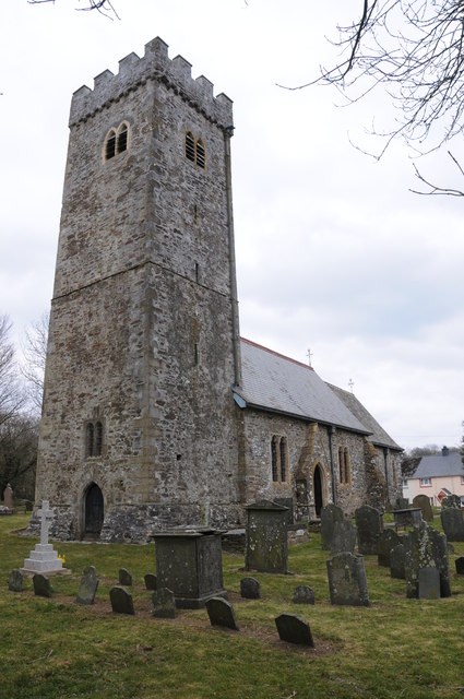
Lawn Plantation Images
Images are sourced within 2km of 51.88778/-4.8112134 or Grid Reference SN0624. Thanks to Geograph Open Source API. All images are credited.

Lawn Plantation is located at Grid Ref: SN0624 (Lat: 51.88778, Lng: -4.8112134)
Unitary Authority: Pembrokeshire
Police Authority: Dyfed Powys
What 3 Words
///conveying.emerald.emailed. Near Ambleston, Pembrokeshire
Nearby Locations
Related Wikis

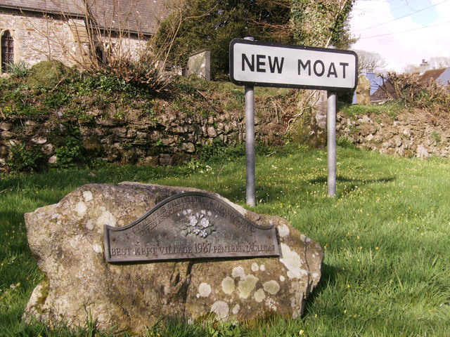
New Moat
New Moat (Welsh: Y Mot) is a village, parish and community in Pembrokeshire, Wales. It extends from the southern edges of Mynydd Preseli to the Pembrokeshire...

Bletherston
Bletherston (Welsh: Trefelen) is a small settlement and parish in Pembrokeshire, Wales. It is in the middle of eastern Pembrokeshire, 6 miles (9.7 km)...

Maenclochog railway station
Maenclochog railway station served the village of Maenclochog, Pembrokeshire, Wales, from 1876 to 1949 on the Narberth Road and Maenclochog Railway....

Llys y Fran
Llys y Fran is a small village and parish in the community of New Moat on the southern slopes of the Preseli Mountains in Pembrokeshire, Wales. The parish...
Related Videos
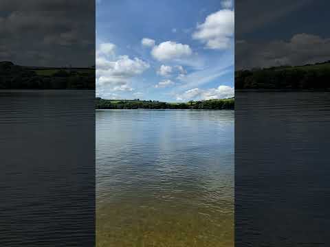

Llys y Fran Lakeview Campsite, Llys y Fran Lake Pembrokeshire
Llyn Llys-y-Frân Lake, Pembrokeshire is an ideal location to enjoy the great outdoors. It is one of Dwr Cymru / Welsh Water ...


A walk and a whittle at LLys y Fran Reservoir / Life in the slow lane
This was Paul and my first trip out to LLys y Fran Reservoir. We found it online and saw that there was a circular walk around the ...
Have you been to Lawn Plantation?
Leave your review of Lawn Plantation below (or comments, questions and feedback).