Berkeley Road

Settlement in Gloucestershire Stroud

England

Berkeley Road

Stone Stile, Stinchcombe On Clingre Farm, the stone has fallen and stile de-commissioned. Looking SSW, the view NNW is <a href="https://www.geograph.org.uk/photo/7042568">ST7299 : Stone Stile, Stinchcombe</a>.
Stone Stile, Stinchcombe Credit: Mr Red

Berkeley Road is a small village located in Gloucestershire, England. Situated approximately 9 miles southwest of the county town of Gloucester, it is part of the Stroud district. The village is known for its picturesque surroundings and charming rural character.

Berkeley Road is primarily a residential area, with a small number of houses and cottages scattered throughout the village. The architecture is a mix of traditional Cotswold stone buildings and more modern constructions. The village is surrounded by rolling hills and countryside, offering stunning views and plenty of opportunities for outdoor activities such as walking and cycling.

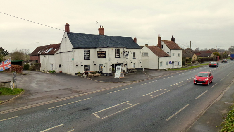
Despite its small size, Berkeley Road has a few amenities to serve its residents. There is a local pub, The Berkeley Arms, which is a popular spot for locals and visitors alike. The pub offers a warm and friendly atmosphere, along with a selection of beers, wines, and traditional pub food.

For those in need of shopping or other services, the nearby town of Dursley, just a short drive away, provides a wider range of amenities including supermarkets, shops, and healthcare facilities.

Transportation in Berkeley Road is primarily by road, with the B4066 passing through the village, connecting it to other nearby towns and villages. The village also benefits from good public transportation links, with regular bus services connecting it to Gloucester and other surrounding areas.

Overall, Berkeley Road is a tranquil and picturesque village, offering a peaceful rural lifestyle within close proximity to larger towns and amenities.

If you have any feedback on the listing, please let us know in the comments section below.

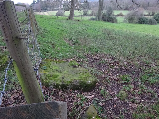
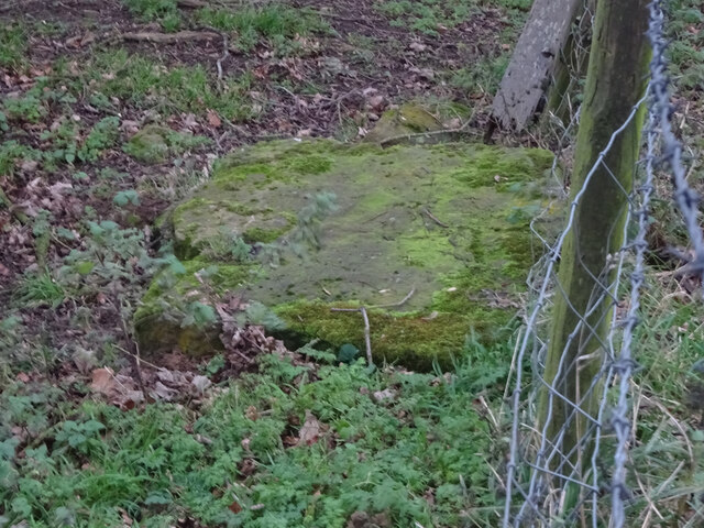
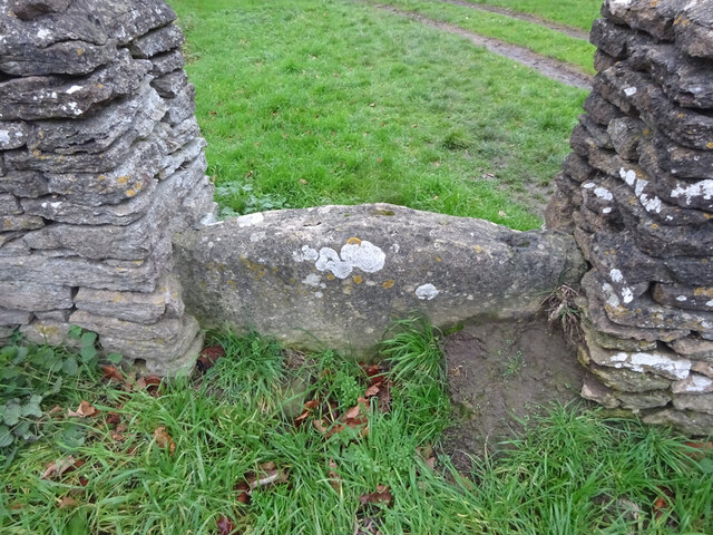
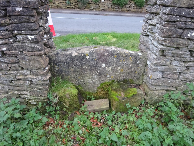
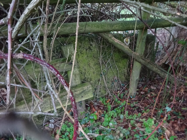
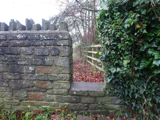
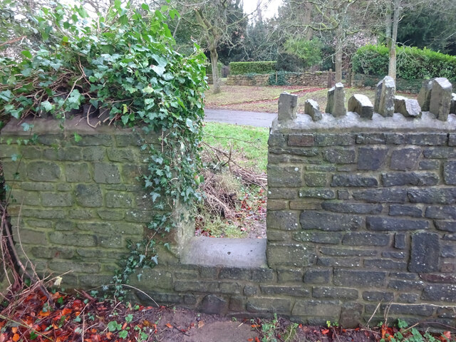
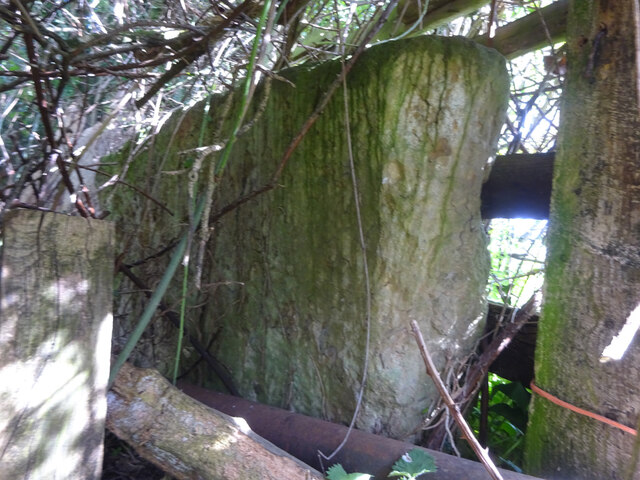
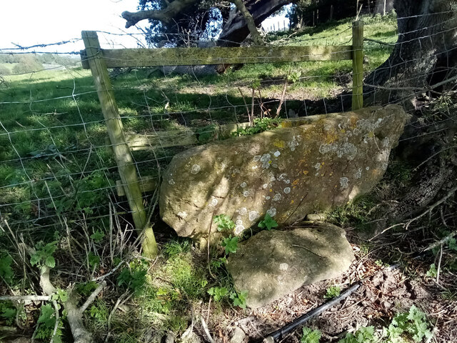
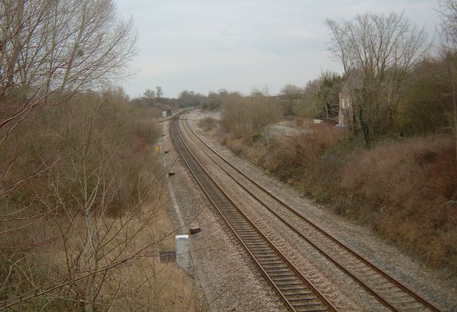
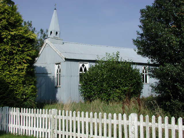
Berkeley Road Images

Images are sourced within 2km of 51.699308/-2.406957 or Grid Reference SO7100. Thanks to Geograph Open Source API. All images are credited.

Stone Stile, Stinchcombe On Clingre Farm, the stone has fallen and stile de-commissioned. Looking SSW, the view NNW is <a href="https://www.geograph.org.uk/photo/7042568">ST7299 : Stone Stile, Stinchcombe</a>.
Stone Stile, Stinchcombe
On Clingre Farm, the stone has fallen and stile de-commissioned. Looking SSW, the view NNW is ST7299 : Stone Stile, Stinchcombe.
Stone Stile, Stinchcombe On Clingre Farm, the stone has fallen and stile de-commissioned. Looking NNE, the view SSW is <a href="https://www.geograph.org.uk/photo/7042560">ST7299 : Stone Stile, Stinchcombe</a>.
Stone Stile, Stinchcombe
On Clingre Farm, the stone has fallen and stile de-commissioned. Looking NNE, the view SSW is ST7299 : Stone Stile, Stinchcombe.
Stone Stile, Stinchcombe Looking NW from the B4060, "The Street", into the Rugby Field. The view SE is <a href="https://www.geograph.org.uk/photo/7042603">ST7399 : Stone Stile, Stinchcombe</a>. The stile is adjacent to Stinchcombe Village Hall.
Stone Stile, Stinchcombe
Looking NW from the B4060, "The Street", into the Rugby Field. The view SE is ST7399 : Stone Stile, Stinchcombe. The stile is adjacent to Stinchcombe Village Hall.
Stone Stile, Stinchcombe Looking SE to the B4060, "The Street", from the Rugby Field. The view NW is <a href="https://www.geograph.org.uk/photo/7042602">ST7399 : Stone Stile, Stinchcombe</a>. The stile is adjacent to Stinchcombe Village Hall.
Stone Stile, Stinchcombe
Looking SE to the B4060, "The Street", from the Rugby Field. The view NW is ST7399 : Stone Stile, Stinchcombe. The stile is adjacent to Stinchcombe Village Hall.
Stone Stile, Stinchcombe In a field South of the parish church. The stone slab is very much obscured by the brambles and the hedge. This is looking North into the hedge, the view East from the gateway looking into the hedge is <a href="https://www.geograph.org.uk/photo/7150843">ST7298 : Stone Stile, Stinchcombe</a>. On Gloucestershire footpath CST32.
Stone Stile, Stinchcombe
In a field South of the parish church. The stone slab is very much obscured by the brambles and the hedge. This is looking North into the hedge, the view East from the gateway looking into the hedge is ST7298 : Stone Stile, Stinchcombe. On Gloucestershire footpath CST32.
Stone Stile, Stinchcombe Modern interpretation of the stone stile. This is looking NE to the drive. The view looking out is <a href="https://www.geograph.org.uk/photo/7043421">ST7298 : Stone Stile, Stinchcombe</a>.
Stone Stile, Stinchcombe
Modern interpretation of the stone stile. This is looking NE to the drive. The view looking out is ST7298 : Stone Stile, Stinchcombe.
Stone Stile, Stinchcombe Modern interpretation of the stone stile. This is looking out from the drive. The view looking in is <a href="https://www.geograph.org.uk/photo/7043419">ST7298 : Stone Stile, Stinchcombe</a>.
Stone Stile, Stinchcombe
Modern interpretation of the stone stile. This is looking out from the drive. The view looking in is ST7298 : Stone Stile, Stinchcombe.
Stone Stile, Stinchcombe In a field South of the parish church. The stone slab is very much obscured by the brambles and the hedge. This is looking East into the hedge from the gateway, the view North looking into the hedge is <a href="https://www.geograph.org.uk/photo/7043413">ST7298 : Stone Stile, Stinchcombe</a>. On Gloucestershire footpath CST32.
Stone Stile, Stinchcombe
In a field South of the parish church. The stone slab is very much obscured by the brambles and the hedge. This is looking East into the hedge from the gateway, the view North looking into the hedge is ST7298 : Stone Stile, Stinchcombe. On Gloucestershire footpath CST32.
Stone Stile, Stinchcombe On an old route of the Gloucestershire footpath CST55, which now runs slightly to the East. There is an orphaned slab to the North at <a href="https://www.geograph.org.uk/photo/7042560">ST7299 : Stone Stile, Stinchcombe</a> which would have been where the old route exited onto the current path.
Stone Stile, Stinchcombe
On an old route of the Gloucestershire footpath CST55, which now runs slightly to the East. There is an orphaned slab to the North at ST7299 : Stone Stile, Stinchcombe which would have been where the old route exited onto the current path.
Stone Stile, Stinchcombe A "Fallen Idle" - the remains of a stile on Gloucestershire footpath CST33, to the East of Wick Lane. The context view of this is <a href="https://www.geograph.org.uk/photo/7237864">ST7398 : Stone Stile, Stinchcombe</a>.
Stone Stile, Stinchcombe
A "Fallen Idle" - the remains of a stile on Gloucestershire footpath CST33, to the East of Wick Lane. The context view of this is ST7398 : Stone Stile, Stinchcombe.
Stone Stile, Stinchcombe A "Fallen Idle" - the remains of a stile on Gloucestershire footpath CST33, to the East of Wick Lane. The close-up view of this is <a href="https://www.geograph.org.uk/photo/7237859">ST7398 : Stone Stile, Stinchcombe</a>.
Stone Stile, Stinchcombe
A "Fallen Idle" - the remains of a stile on Gloucestershire footpath CST33, to the East of Wick Lane. The close-up view of this is ST7398 : Stone Stile, Stinchcombe.
Grubby direction sign 1 mile from Blanchworth Pointing towards a minor road, the sign facing the A38 in Gloucestershire 
is 1 mile from Blanchworth, 2½ from Stinchcombe, 3 from North Nibley.
Grubby direction sign 1 mile from Blanchworth
Pointing towards a minor road, the sign facing the A38 in Gloucestershire is 1 mile from Blanchworth, 2½ from Stinchcombe, 3 from North Nibley.
Typo on a temporary sign in rural Gloucestershire Temporary signs across a minor road face the A38 in October 2023.
NURSARY is a typo for NURSERY
Typo on a temporary sign in rural Gloucestershire
Temporary signs across a minor road face the A38 in October 2023. NURSARY is a typo for NURSERY
Breadstone (Glos) St Michael's Church Scheduled for demolition after closure in 2000, the church still lingered on in March 2005.
Breadstone (Glos) St Michael's Church
Scheduled for demolition after closure in 2000, the church still lingered on in March 2005.
Berkeley Heath Section of grazing land sandwiched between the A38 and its intersection with the B4066 opposite Pickwick Farm.
Berkeley Heath
Section of grazing land sandwiched between the A38 and its intersection with the B4066 opposite Pickwick Farm.
Call a Halt Filling station and hotel on the A38 near Leathern Bottle.
Call a Halt
Filling station and hotel on the A38 near Leathern Bottle.
Berkeley Road - the old station Looking north from the bridge on the A38. Berkeley Road Station stood here; the Stationmaster's house is just visible on the right. The line just disappearing off to the left leads to Sharpness docks and, once, across the Severn to Lydney.
Berkeley Road - the old station
Looking north from the bridge on the A38. Berkeley Road Station stood here; the Stationmaster's house is just visible on the right. The line just disappearing off to the left leads to Sharpness docks and, once, across the Severn to Lydney.
Manor Farm, Breadstone This partly mediaeval house is approached through rusticated 18th century gate piers with enormous ball finials.
Manor Farm, Breadstone
This partly mediaeval house is approached through rusticated 18th century gate piers with enormous ball finials.
Show me another place!

Berkeley Road is located at Grid Ref: SO7100 (Lat: 51.699308, Lng: -2.406957)

Administrative County: Gloucestershire

District: Stroud

Police Authority: Gloucestershire

What 3 Words

///meanings.prank.priced. Near Berkeley, Gloucestershire

Related Wikis

Berkeley Road railway station

Berkeley Road railway station served the towns of Berkeley and Dursley in Gloucestershire, England. == History == The station was one of the first six...

Breadstone

Breadstone is a village and former civil parish, now in the parish of Hamfallow, in the Stroud district, in the county of Gloucestershire, England. In...

Piers Court

Piers Court is a country house in Stinchcombe on the Cotswold Edge in Gloucestershire, England. A Grade II* listed building, in the mid-20th century the...

Hamfallow

Hamfallow is a civil parish in the district of Stroud, Gloucestershire. There is no village centre, the parish consists of farms and hamlets such as Abwell...

Newport, Gloucestershire

Newport is a village in Alkington parish, Gloucestershire, England. Located along the A38 road roughly halfway between Bristol and Gloucester. It is located...

Stinchcombe

Stinchcombe is a small village and civil parish in Gloucestershire, England on the B4060 road between Dursley and North Nibley. The church is called St...

Cam, Gloucestershire

Cam is a large village and civil parish in Gloucestershire, England, situated on the edge of the Cotswolds and contiguous with the town of Dursley, north...

Cam railway station

Cam railway station served the village of Cam in Gloucestershire, England. The station was on the short Dursley and Midland Junction Railway line which...

Nearby Amenities

Located within 500m of 51.699308,-2.406957
Berkeley Road
Historic Railway: station
Railway: site
Wikidata: Q4892093
Wikipedia: en:Berkeley Road railway station
Lat/Long: 51.7012137/-2.4076239
Post Box
Collection Times: Mo-Fr 16:00; Sa 09:30
Operator: Royal Mail
Post Box Type: lamp
Ref: GL13 248
Royal Cypher: EIIR
Royal Cypher Wikidata: Q33102113
Lat/Long: 51.6995591/-2.4074464
Bus Stop
Prince of Wales
Naptan AtcoCode: 1600GL367
Naptan Bearing: SW
Naptan CommonName: Prince of Wales
Naptan NaptanCode: gloamtaj
Naptan Street: A38
Naptan Verified: no
Source: naptan_import
Lat/Long: 51.6992848/-2.4079755
Bus Stop
Prince of Wales
Naptan AtcoCode: 1600GL368
Naptan Bearing: NE
Naptan CommonName: Prince of Wales
Naptan Indicator: Opp
Naptan NaptanCode: gloamtam
Naptan Street: A38
Naptan Verified: no
Source: naptan_import
Lat/Long: 51.699492/-2.4078616
Bus Stop
Hengaston Farm
Naptan AtcoCode: 1600GLA90841
Naptan Bearing: SW
Naptan CommonName: Hengaston Farm
Naptan NaptanCode: glogpatd
Naptan Street: A38
Naptan Verified: no
Source: naptan_import
Lat/Long: 51.7002468/-2.4054229
Hengaston Farm
Landuse: farm
Note Retag: CS #48756035
Source: OS OpenData StreetView
Lat/Long: 51.7014363/-2.4031286
Railway: crossing
Lat/Long: 51.7009827/-2.4077809
Railway: crossing
Lat/Long: 51.7009995/-2.4078254
Railway: crossing
Lat/Long: 51.7010121/-2.4078586
Railway: switch
Lat/Long: 51.7011432/-2.4076939
Berkeley Road Junction
Railway: junction
Lat/Long: 51.7009032/-2.4079524
The data included in this document is from www.openstreetmap.org. The data is made available under ODbL.

Have you been to Berkeley Road?

Leave your review of Berkeley Road below (or comments, questions and feedback).