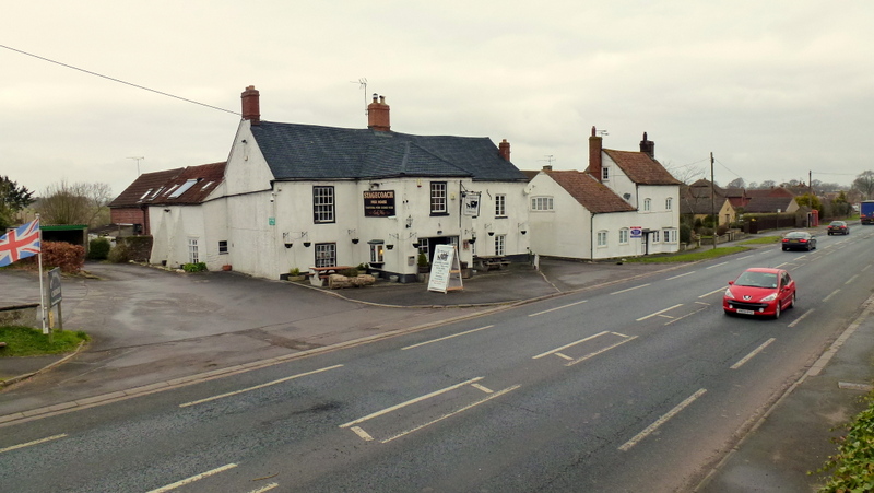
Berkeley Heath

Settlement in Gloucestershire Stroud

England

Berkeley Heath

Grubby direction sign 1 mile from Blanchworth Pointing towards a minor road, the sign facing the A38 in Gloucestershire 
is 1 mile from Blanchworth, 2½ from Stinchcombe, 3 from North Nibley.
Grubby direction sign 1 mile from Blanchworth Credit: Jaggery

Berkeley Heath is a small village located in the district of Stroud, Gloucestershire, England. Situated approximately three miles to the west of the town of Berkeley, it is surrounded by picturesque rolling countryside and offers a tranquil and rural setting.

The village is primarily residential, with a mix of traditional stone-built cottages and modern houses. It has a close-knit community and a peaceful atmosphere, making it an attractive place to live for those seeking a quieter lifestyle.

Despite its small size, Berkeley Heath benefits from having a primary school, providing education for the local children. There are also a number of amenities in the nearby town of Berkeley, including shops, supermarkets, and healthcare facilities, which serve the needs of the community.

Natural beauty surrounds Berkeley Heath, with the River Severn flowing nearby and the stunning Cotswold Hills just a short distance to the east. This makes it an ideal location for outdoor enthusiasts, who can enjoy activities such as hiking, cycling, and boating in the area.

Transport links are relatively good, with the A38 road passing through the nearby town of Berkeley, providing easy access to larger towns and cities in the region. The closest train station is located in Cam and Dursley, approximately five miles away.

Overall, Berkeley Heath offers a peaceful and scenic place to live, with a strong sense of community and access to the beautiful countryside of Gloucestershire.

If you have any feedback on the listing, please let us know in the comments section below.

Berkeley Heath Images

Images are sourced within 2km of 51.691478/-2.434302 or Grid Reference ST7099. Thanks to Geograph Open Source API. All images are credited.

Grubby direction sign 1 mile from Blanchworth Pointing towards a minor road, the sign facing the A38 in Gloucestershire 
is 1 mile from Blanchworth, 2½ from Stinchcombe, 3 from North Nibley.
Grubby direction sign 1 mile from Blanchworth
Pointing towards a minor road, the sign facing the A38 in Gloucestershire is 1 mile from Blanchworth, 2½ from Stinchcombe, 3 from North Nibley.
Typo on a temporary sign in rural Gloucestershire Temporary signs across a minor road face the A38 in October 2023.
NURSARY is a typo for NURSERY
Typo on a temporary sign in rural Gloucestershire
Temporary signs across a minor road face the A38 in October 2023. NURSARY is a typo for NURSERY
Berkeley Castle View of the castle from the garden.  Berkeley Castle was built in 1153 by the Berkeley family who are the present owners. They have resided here for over 800 years. Overlooking the River Severn and the border with Wales, the castle was built as a defence against the Welsh.
Berkeley Castle
View of the castle from the garden. Berkeley Castle was built in 1153 by the Berkeley family who are the present owners. They have resided here for over 800 years. Overlooking the River Severn and the border with Wales, the castle was built as a defence against the Welsh.
Berkeley Castle - The Inner Bailey The courtyard is entered by the Bailey Gate just visible.  The architecture above the gate is influenced by that of Venice.  On the right is the Norman Keep built just after 1154 on the site of the original Norman motte.  It was in here that Edward II was imprisoned and murdered.
Berkeley Castle - The Inner Bailey
The courtyard is entered by the Bailey Gate just visible. The architecture above the gate is influenced by that of Venice. On the right is the Norman Keep built just after 1154 on the site of the original Norman motte. It was in here that Edward II was imprisoned and murdered.
Berkeley Castle -  game larder This is where the game shot on the estate and meat were stored in the open air.
Berkeley Castle - game larder
This is where the game shot on the estate and meat were stored in the open air.
Berkeley Castle - terraced garden The battlements of the castle have been formed into part of  the garden.
Berkeley Castle - terraced garden
The battlements of the castle have been formed into part of the garden.
Berkeley Castle - the Bailey Gate Entrance into the Inner Bailey is through this gate which used to have a portcullis. One can see the slit in the arch where it would have been.  The Bailey Gate was built in the 14C.
Berkeley Castle - the Bailey Gate
Entrance into the Inner Bailey is through this gate which used to have a portcullis. One can see the slit in the arch where it would have been. The Bailey Gate was built in the 14C.
St Mary's Church Berkeley - Berkeley tomb This is the tomb of Thomas the 8th Lord Berkeley (died 1361) and his second wife Katherine.  Thomas was one of two custodians of Edward II when he was imprisoned at Berkeley Castle.  While he was absent from the Castle the King was murdered.  Thomas was summoned in front of a jury for the murder but was acquitted.
St Mary's Church Berkeley - Berkeley tomb
This is the tomb of Thomas the 8th Lord Berkeley (died 1361) and his second wife Katherine. Thomas was one of two custodians of Edward II when he was imprisoned at Berkeley Castle. While he was absent from the Castle the King was murdered. Thomas was summoned in front of a jury for the murder but was acquitted.
St Mary's Church Berkeley -  Memorial On the south wall of the church is a memorial to Dr Edward Jenner, who became famous for his spread of vaccination against smallpox, although the less well-known Benjamin Jesty, a farmer of Yetminster, Dorset, was experimenting with his smallpox vaccinating about 20 years earlier <a href="https://www.geograph.org.uk/photo/4514647">ST5910 : Benjamin Jesty blue plaque, Yetminster</a> and <a href="https://www.geograph.org.uk/photo/1500913">SY9777 : The grave of Benjamin Jesty - Worth Matravers</a>.
St Mary's Church Berkeley - Memorial
On the south wall of the church is a memorial to Dr Edward Jenner, who became famous for his spread of vaccination against smallpox, although the less well-known Benjamin Jesty, a farmer of Yetminster, Dorset, was experimenting with his smallpox vaccinating about 20 years earlier ST5910 : Benjamin Jesty blue plaque, Yetminster and SY9777 : The grave of Benjamin Jesty - Worth Matravers.
Pool in gardens at Berkeley Castle Formerly this was a swimming pool in the Italianate style gardens of Berkeley Castle created for the 8th Earl of Berkeley in the early 20th century.  These days it is an ornate feature of the gardens which you certainly wouldn't want to swim in.
Pool in gardens at Berkeley Castle
Formerly this was a swimming pool in the Italianate style gardens of Berkeley Castle created for the 8th Earl of Berkeley in the early 20th century. These days it is an ornate feature of the gardens which you certainly wouldn't want to swim in.
Berkeley Castle Berkeley Castle reflected in the former swimming pool in the gardens.
Berkeley Castle
Berkeley Castle reflected in the former swimming pool in the gardens.
Berkeley Castle reflected in a garden pool Berkeley Castle reflected in the former swimming pool in the gardens.
Berkeley Castle reflected in a garden pool
Berkeley Castle reflected in the former swimming pool in the gardens.
Berkeley Castle Berkeley Castle has been inhabited for around 900 years by the Berkeley family. King Edward II was held imprisoned in the castle where he was also murdered in 1327.
Berkeley Castle
Berkeley Castle has been inhabited for around 900 years by the Berkeley family. King Edward II was held imprisoned in the castle where he was also murdered in 1327.
Old Milestone by B4066, Berkeley Heath The Milestone is located in front of Field View on verge on the South of the road.  Parish of Berkeley (Stroud District). Carved stone post, erected by the Berkley & Dursley (Division) turnpike trust in the 19C Century, Minor chips on edges. An earlier photograph can be found here: <a title="https://www.geograph.org.uk/photo/6098469" href="https://www.geograph.org.uk/photo/6098469">Link</a> 

Inscription reads:-  
TO / (BERKELEY) / 1 / MILE  

Milestone Society National ID: GL_BKDY01
Old Milestone by B4066, Berkeley Heath
The Milestone is located in front of Field View on verge on the South of the road.  Parish of Berkeley (Stroud District). Carved stone post, erected by the Berkley & Dursley (Division) turnpike trust in the 19C Century, Minor chips on edges. An earlier photograph can be found here: Link  Inscription reads:- TO / (BERKELEY) / 1 / MILE Milestone Society National ID: GL_BKDY01
Berkeley Church The detached bell-tower dates from 1753AD. The church is dedicated to St Mary the Virgin.
Berkeley Church
The detached bell-tower dates from 1753AD. The church is dedicated to St Mary the Virgin.
Berkeley Castle Entrance to Berkeley Castle
Berkeley Castle
Entrance to Berkeley Castle
Berkeley Castle  from the gardens The scene remains unchanged over many years
Berkeley Castle from the gardens
The scene remains unchanged over many years
Breadstone (Glos) St Michael's Church Scheduled for demolition after closure in 2000, the church still lingered on in March 2005.
Breadstone (Glos) St Michael's Church
Scheduled for demolition after closure in 2000, the church still lingered on in March 2005.
Show me another place!

Berkeley Heath is located at Grid Ref: ST7099 (Lat: 51.691478, Lng: -2.434302)

Administrative County: Gloucestershire

District: Stroud

Police Authority: Gloucestershire

What 3 Words

///estimated.spark.pheasants. Near Berkeley, Gloucestershire

Nearby Locations

Berkeley Heath

Related Wikis

Newport, Gloucestershire

Newport is a village in Alkington parish, Gloucestershire, England. Located along the A38 road roughly halfway between Bristol and Gloucester. It is located...

Breadstone

Breadstone is a village and former civil parish, now in the parish of Hamfallow, in the Stroud district, in the county of Gloucestershire, England. In...

Hamfallow

Hamfallow is a civil parish in the district of Stroud, Gloucestershire. There is no village centre, the parish consists of farms and hamlets such as Abwell...
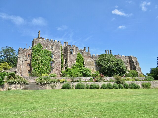
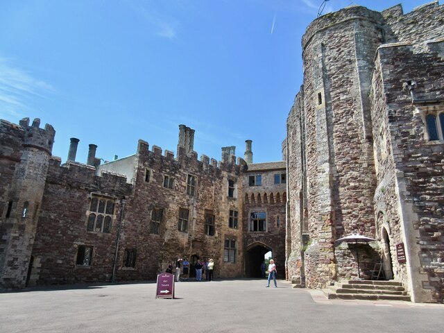
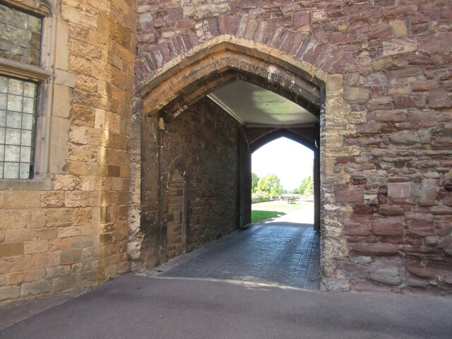
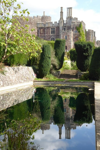
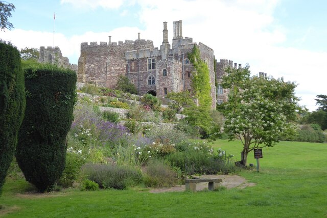
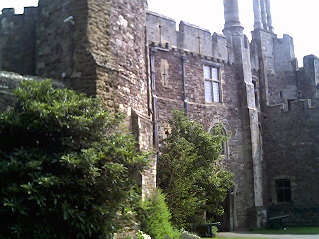
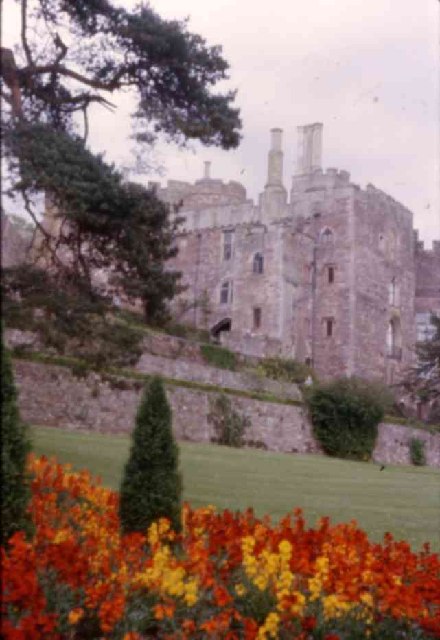
Berkeley Castle

Berkeley Castle ( BARK-lee; historically sometimes spelled as Berkley Castle or Barkley Castle) is a castle in the town of Berkeley, Gloucestershire, United...

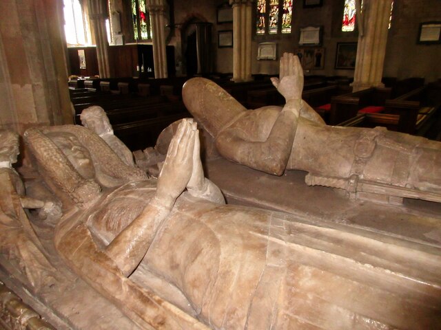
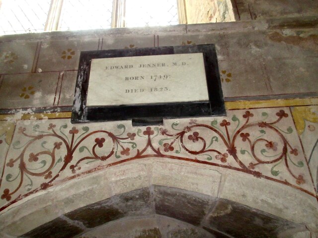
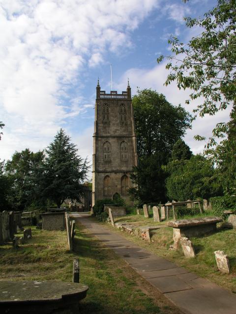
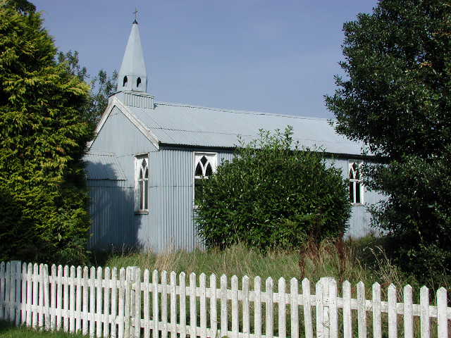
St Mary's Church, Berkeley

The Church of St Mary the Virgin is an Anglican church in Berkeley, Gloucestershire, England, and in the Diocese of Gloucester. The building is Grade I...

Berkeley Town Hall

Berkeley Town Hall is a municipal building in Salter Street, Berkeley, Gloucestershire, England. The structure, which is now used as a community events...

Berkeley, Gloucestershire

Berkeley ( BARK-lee) is a market town and civil parish in the Stroud District in Gloucestershire, England. It lies in the Vale of Berkeley between the...

Berkeley railway station

Berkeley railway station served the town of Berkeley in Gloucestershire, England. The station was on the Sharpness Branch Line, part of the Midland Railway...

Nearby Amenities

Located within 500m of 51.691478,-2.434302
Berkeley Heath
Is In: Gloucestershire, England, UK
Place: hamlet
Lat/Long: 51.6908605/-2.4276151
Bus Stop
The Common
Naptan AtcoCode: 1600GL361
Naptan Bearing: W
Naptan CommonName: The Common
Naptan NaptanCode: gloamjaj
Naptan Street: B4066
Shelter: yes
Source: naptan_import
Lat/Long: 51.6914819/-2.434595
Bus Stop
The Common
Naptan AtcoCode: 1600GL362
Naptan Bearing: E
Naptan CommonName: The Common
Naptan NaptanCode: gloamgwm
Naptan Street: B4066
Naptan Verified: no
Source: naptan_import
Lat/Long: 51.6915742/-2.4344394
Post Box
Collection Times: Mo-Fr 17:00; Sa 08:00
Collection Times Checked: 2015-08-18
Operator: Royal Mail
Post Box Mounting: wooden_post
Post Box Type: lamp
Ref: GL13 113
Royal Cypher: EIIR
Royal Cypher Wikidata: Q33102113
Lat/Long: 51.6914614/-2.4341704
Bench
Lat/Long: 51.6914832/-2.434366
Marker: aerial
Operator: CLH
Operator Old: GPSS
Utility: oil
Lat/Long: 51.6879089/-2.4380858
Marker: pedestal
Operator: CLH
Operator Old: GPSS
Ref: CP 1748
Utility: oil
Lat/Long: 51.6917052/-2.4379681
Marker: aerial
Operator: CLH
Operator Old: GPSS
Ref: MP 6217
Ref GPSS: 18238
Utility: oil
Lat/Long: 51.691721/-2.437961
The data included in this document is from www.openstreetmap.org. The data is made available under ODbL.

Have you been to Berkeley Heath?

Leave your review of Berkeley Heath below (or comments, questions and feedback).