Bengough's Covert

Wood, Forest in Gloucestershire Stroud

England

Bengough's Covert

Breadstone (Glos) St Michael's Church Scheduled for demolition after closure in 2000, the church still lingered on in March 2005.
Breadstone (Glos) St Michael's Church Credit: ChurchCrawler

Bengough's Covert is a beautiful woodland located in Gloucestershire, England. Situated within the Forest of Dean, this covert is known for its dense vegetation and diverse wildlife, making it a popular destination for nature enthusiasts and hikers alike.

Covering an area of approximately 200 acres, Bengough's Covert is characterized by its towering trees, including oak, beech, and ash. These ancient woodland species provide a rich habitat for a wide range of flora and fauna. The forest floor is adorned with a carpet of bluebells in the spring, creating a picturesque landscape that attracts photographers and nature lovers.

The woodland is crisscrossed by numerous footpaths and trails, allowing visitors to explore its hidden corners and discover its hidden treasures. These paths are well-maintained, making it easy for visitors to navigate through the dense foliage and discover the various species of birds, mammals, and insects that call Bengough's Covert home.

For those interested in wildlife spotting, Bengough's Covert offers a chance to see a variety of species. The woodland is home to several bird species, including woodpeckers, nuthatches, and tawny owls. Deer, foxes, and badgers can also be spotted in the area, adding to the charm of this natural haven.

Bengough's Covert provides a peaceful retreat away from the hustle and bustle of city life. Whether you are an avid photographer, a nature enthusiast, or simply seeking a tranquil escape, this woodland in Gloucestershire offers a serene and enchanting experience for all who visit.

If you have any feedback on the listing, please let us know in the comments section below.

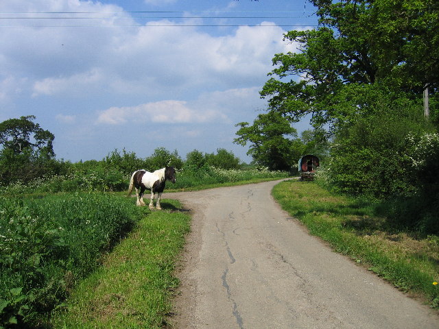
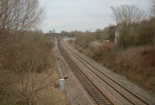
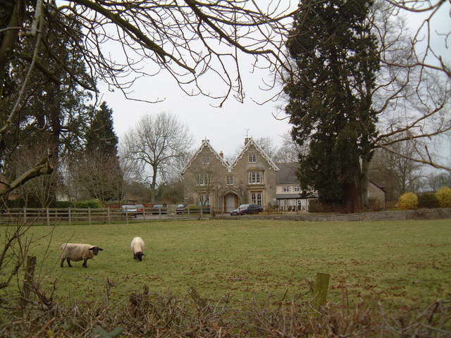
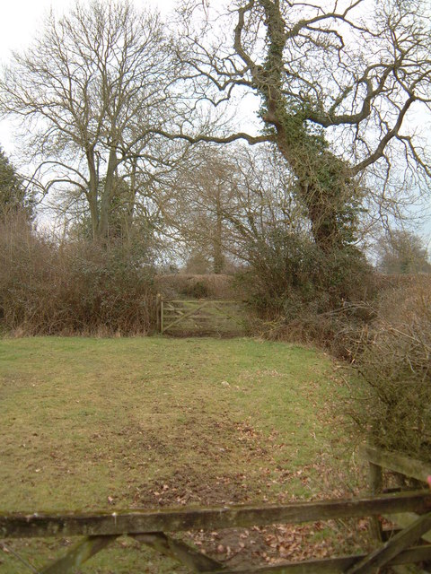
Bengough's Covert Images

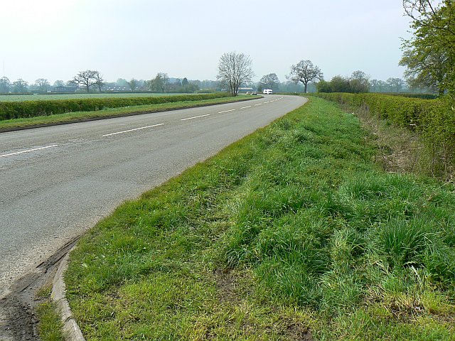
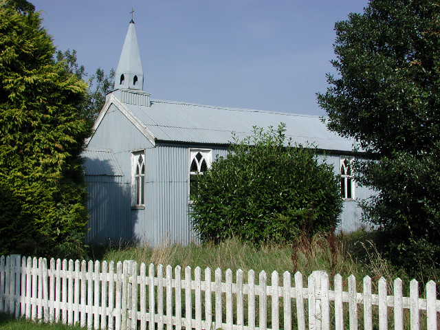
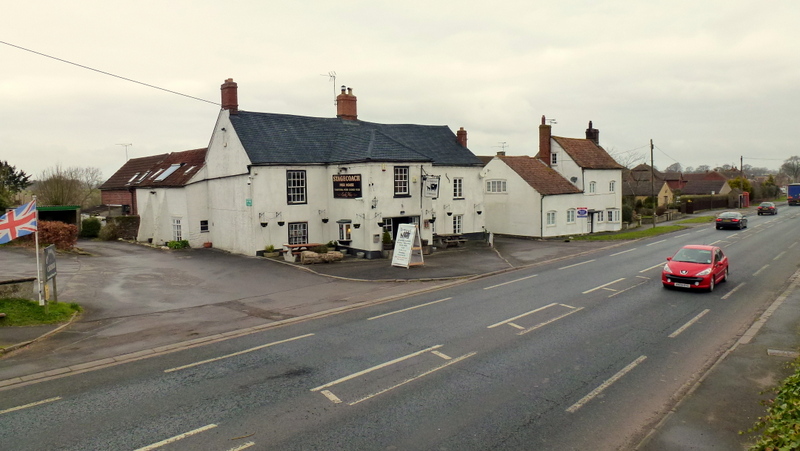
Images are sourced within 2km of 51.706377/-2.4115837 or Grid Reference SO7100. Thanks to Geograph Open Source API. All images are credited.

Breadstone (Glos) St Michael's Church Scheduled for demolition after closure in 2000, the church still lingered on in March 2005.
Breadstone (Glos) St Michael's Church
Scheduled for demolition after closure in 2000, the church still lingered on in March 2005.
Moorend Lane with traveller's horse and caravan Moorend Lane.  The Penny Lane turning is visible behind the horse.
Moorend Lane with traveller's horse and caravan
Moorend Lane. The Penny Lane turning is visible behind the horse.
Call a Halt Filling station and hotel on the A38 near Leathern Bottle.
Call a Halt
Filling station and hotel on the A38 near Leathern Bottle.
Hurst Farm Hurst Farm (looking north) is almost the only set of buildings in this square. Despite looking fairly dilapidated, the building on the right was housing calves at the time.
Hurst Farm
Hurst Farm (looking north) is almost the only set of buildings in this square. Despite looking fairly dilapidated, the building on the right was housing calves at the time.
Hunting Country Looking southwest from Hurst Farm over the undulating farmland of the Vale of Berkeley. The hedge on the right hides the quaintly named Gilgal Brook, the boundary between Halmore and Gossington.
Hunting Country
Looking southwest from Hurst Farm over the undulating farmland of the Vale of Berkeley. The hedge on the right hides the quaintly named Gilgal Brook, the boundary between Halmore and Gossington.
Old Hurst Farm & Twyditch Lane
Berkeley Road - the old station Looking north from the bridge on the A38. Berkeley Road Station stood here; the Stationmaster's house is just visible on the right. The line just disappearing off to the left leads to Sharpness docks and, once, across the Severn to Lydney.
Berkeley Road - the old station
Looking north from the bridge on the A38. Berkeley Road Station stood here; the Stationmaster's house is just visible on the right. The line just disappearing off to the left leads to Sharpness docks and, once, across the Severn to Lydney.
Manor Farm, Breadstone This partly mediaeval house is approached through rusticated 18th century gate piers with enormous ball finials.
Manor Farm, Breadstone
This partly mediaeval house is approached through rusticated 18th century gate piers with enormous ball finials.
Breadstone House This charming early Victorian house is viewed from the road. It is now a Residential Home for the elderly.
Breadstone House
This charming early Victorian house is viewed from the road. It is now a Residential Home for the elderly.
Railway Line Looking south from the bridge on the A38. The line leads to Yate and Bristol and was the Midland Railway's line from Birmingham, deep in the heart of Great Western Railway country.
Railway Line
Looking south from the bridge on the A38. The line leads to Yate and Bristol and was the Midland Railway's line from Birmingham, deep in the heart of Great Western Railway country.
Green Lane This public footpath crosses the square diagonally from north-west to south-east. This view is as the path leaves the road in the top north-western corner of the square, just south of Halmore and heads south-east to Breadstone.
Green Lane
This public footpath crosses the square diagonally from north-west to south-east. This view is as the path leaves the road in the top north-western corner of the square, just south of Halmore and heads south-east to Breadstone.
M5 motorway, near Stinchcombe Looking north.
M5 motorway, near Stinchcombe
Looking north.
Goods line to Sharpness docks
Bristol to Gloucester train Approaching the site of Berkeley Road station, from the south.
Bristol to Gloucester train
Approaching the site of Berkeley Road station, from the south.
Tumpy Green Hump-Backed Bridge
A38, near Berkeley Road Berkeley Road is a little further on in the direction of view. The viewpoint was a convenient gateway to a small BT exchange.
A38, near Berkeley Road
Berkeley Road is a little further on in the direction of view. The viewpoint was a convenient gateway to a small BT exchange.
A38, near Berkeley Road The A38 carries relatively little traffic nowadays as it has largely been superseded by the M5. Carry on in the direction of view for about three kilometres and you will arrive at one of the English Newports.
A38, near Berkeley Road
The A38 carries relatively little traffic nowadays as it has largely been superseded by the M5. Carry on in the direction of view for about three kilometres and you will arrive at one of the English Newports.
Quaint electricity pylon This pylon caught my eye with its solid dependability.
Quaint electricity pylon
This pylon caught my eye with its solid dependability.
Show me another place!

Bengough's Covert is located at Grid Ref: SO7100 (Lat: 51.706377, Lng: -2.4115837)

Administrative County: Gloucestershire

District: Stroud

Police Authority: Gloucestershire

What 3 Words

///honeybees.exulted.bright. Near Berkeley, Gloucestershire

Related Wikis

Nearby Amenities

Located within 500m of 51.706377,-2.4115837
Greenacres Farm
Landuse: farm
Note Retag: CS #48756035
Source: OS OpenData StreetView
Lat/Long: 51.7051061/-2.4146736
Note: power line tower now removed (do not re-trace from old imagery)
Lat/Long: 51.7054849/-2.4063385
Note: power line tower now removed (do not re-trace from old imagery)
Lat/Long: 51.7039989/-2.4141866
Note: power line tower now removed (do not re-trace from old imagery)
Lat/Long: 51.7049131/-2.4094176
Barrier: stile
Foot: yes
Lat/Long: 51.7075098/-2.4112617
Barrier: stile
Foot: yes
Lat/Long: 51.7081322/-2.4116721
Barrier: stile
Foot: yes
Lat/Long: 51.7088847/-2.4086611
Barrier: stile
Lat/Long: 51.7093616/-2.4163624
Power: pole
Lat/Long: 51.7038792/-2.4164772
Power: pole
Lat/Long: 51.7044343/-2.414943
Power: pole
Lat/Long: 51.7046255/-2.4135965
Power: pole
Lat/Long: 51.7048366/-2.4120945
Power: pole
Lat/Long: 51.7051607/-2.4099541
Power: pole
Lat/Long: 51.7055779/-2.4089965
Power: pole
Lat/Long: 51.7064206/-2.4071887
Power: pole
Lat/Long: 51.7068794/-2.4062392
Power: pole
Lat/Long: 51.7073697/-2.4052039
The data included in this document is from www.openstreetmap.org. The data is made available under ODbL.

Have you been to Bengough's Covert?

Leave your review of Bengough's Covert below (or comments, questions and feedback).