Neath Hill
Settlement in Buckinghamshire
England
Neath Hill
Neath Hill is a small residential area located in the northern part of Milton Keynes, Buckinghamshire, England. It is situated just south of the city center and is part of the larger civil parish of Stantonbury. Neath Hill is bordered by other residential areas such as Great Linford to the east, Willen to the south, and Giffard Park to the west.
The area predominantly consists of low-rise housing, with a mix of privately owned properties and social housing. The architecture is typical of the post-war era, featuring brick-built houses with gardens and driveways. Neath Hill benefits from a range of local amenities, including a shopping center with a supermarket, convenience stores, and various retail outlets. There are also several primary schools and a secondary school in the vicinity, making it an attractive location for families.
The neighborhood is well-served by public transportation, with regular bus services connecting it to the city center and other surrounding areas. Neath Hill is also conveniently located near the A422 road, providing easy access to the wider road network.
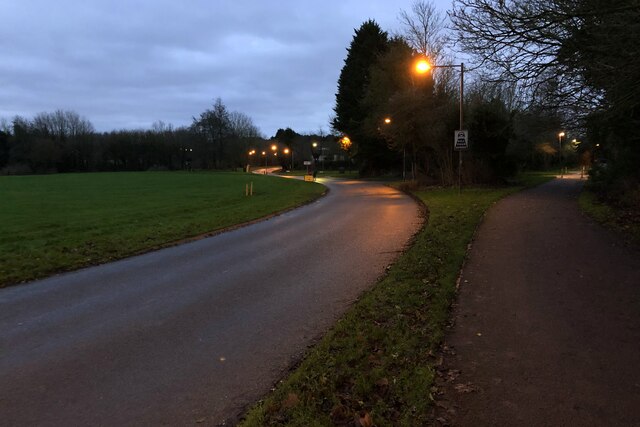
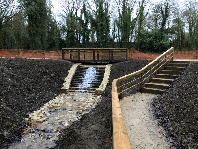
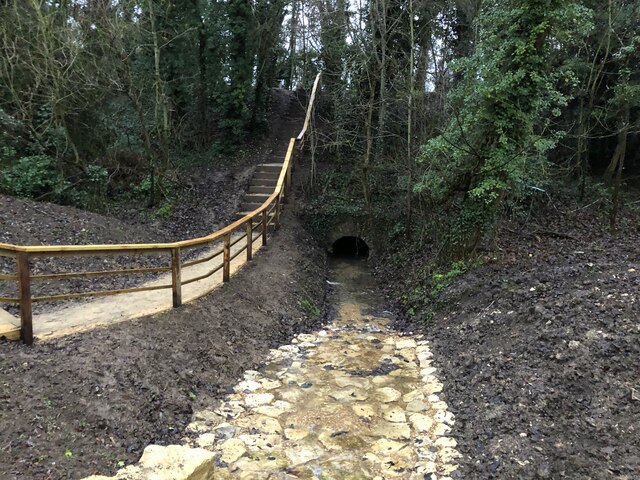
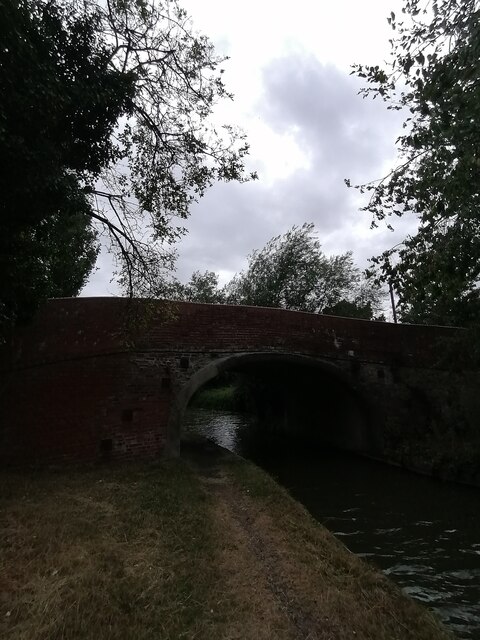
In terms of recreation, Neath Hill offers green spaces and parks where residents can enjoy outdoor activities. The nearby Linford Wood is a popular destination for nature walks and picnics. Additionally, the area benefits from proximity to other leisure facilities, including sports clubs, golf courses, and the nearby Willen Lake, which offers water sports and scenic walks.
Overall, Neath Hill is a quiet and well-established residential area with a range of amenities, making it an appealing place to live within the Milton Keynes area.
If you have any feedback on the listing, please let us know in the comments section below.
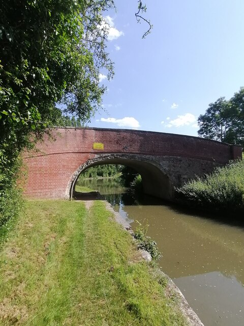
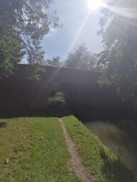
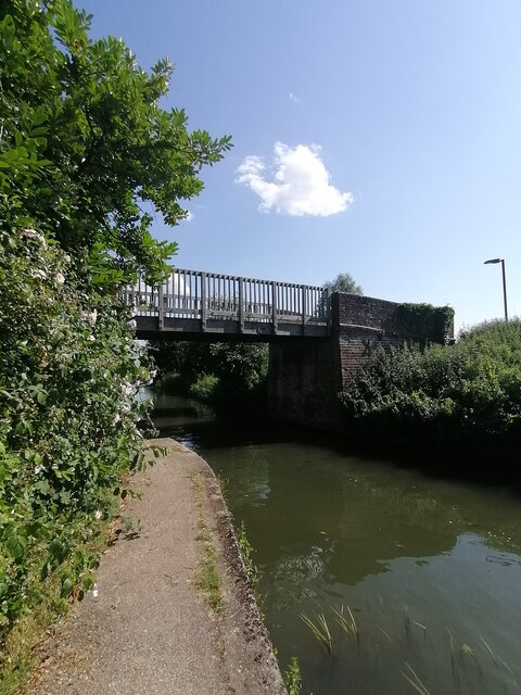
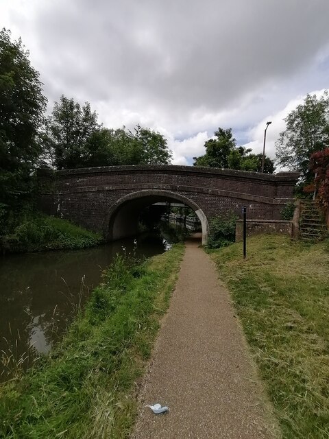
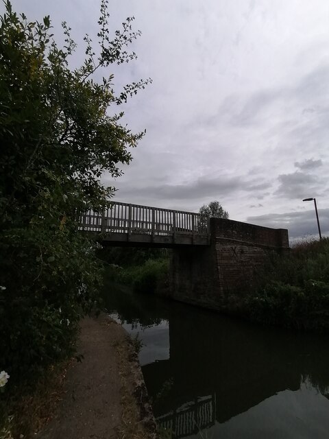
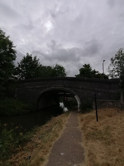
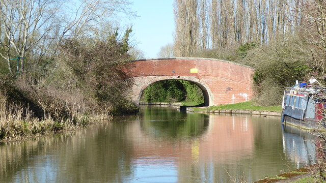
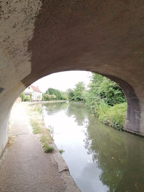
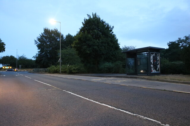
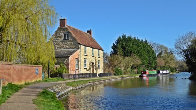
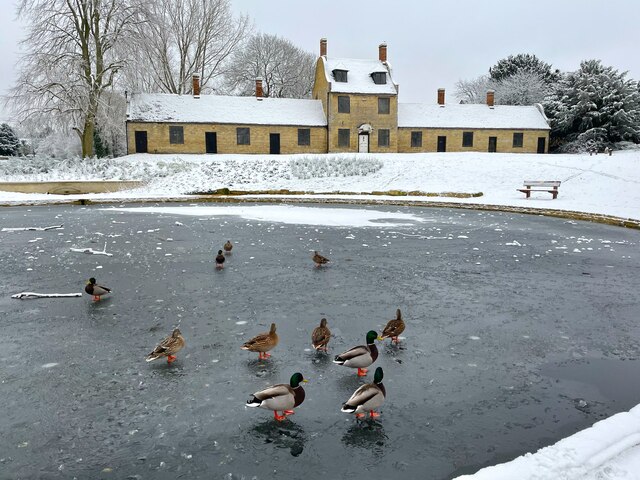
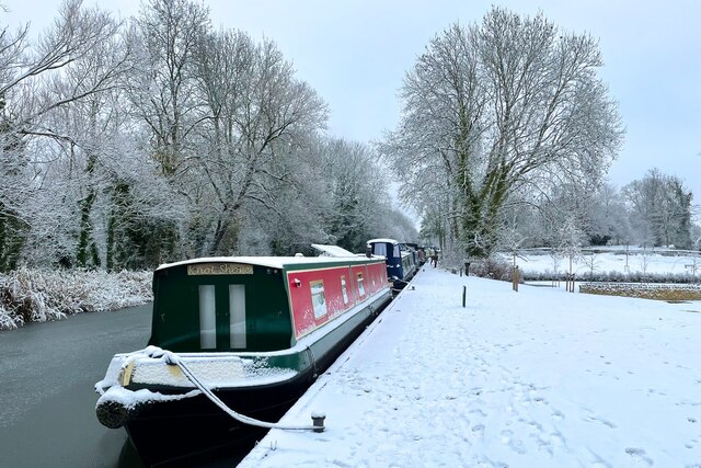
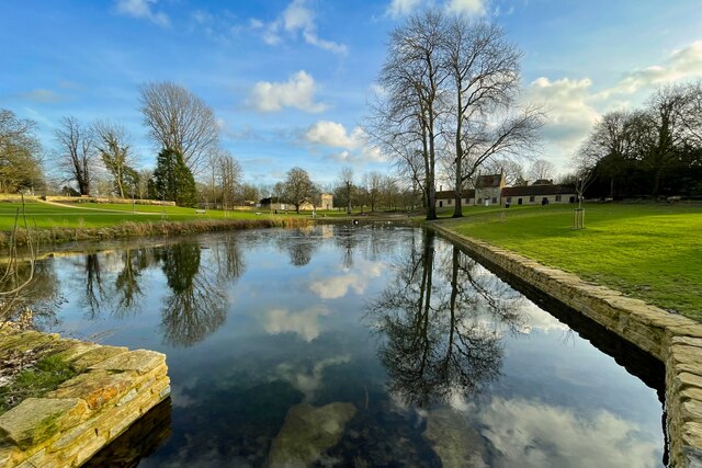
Neath Hill Images
Images are sourced within 2km of 52.057272/-0.754442 or Grid Reference SP8540. Thanks to Geograph Open Source API. All images are credited.

Neath Hill is located at Grid Ref: SP8540 (Lat: 52.057272, Lng: -0.754442)
Unitary Authority: Milton Keynes
Police Authority: Thames Valley
What 3 Words
///lunged.skate.tonic. Near Milton Keynes, Buckinghamshire
Nearby Locations
Related Wikis
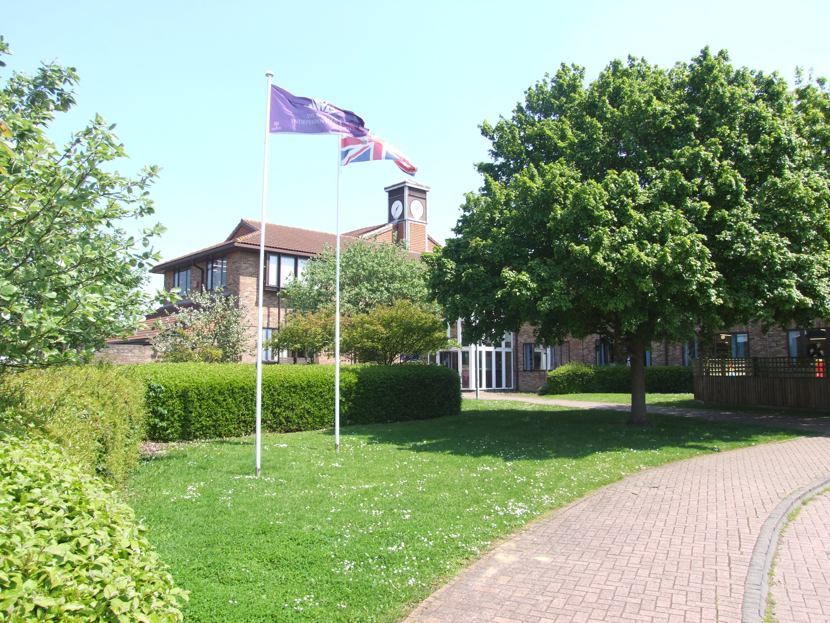
Webber Independent School
The Webber Independent School) is a coeducational independent school situated in Stantonbury, in the north of Milton Keynes, England, owned by GEMS Education...

Pennyland project
The Pennyland project was one of a series of low-energy building experiments sparked by the 1973 oil crisis. It involved the construction of an estate...
Stantonbury School
Stantonbury School (formerly known as Stantonbury Campus and Stantonbury International School) is a coeducational secondary school located in north Milton...
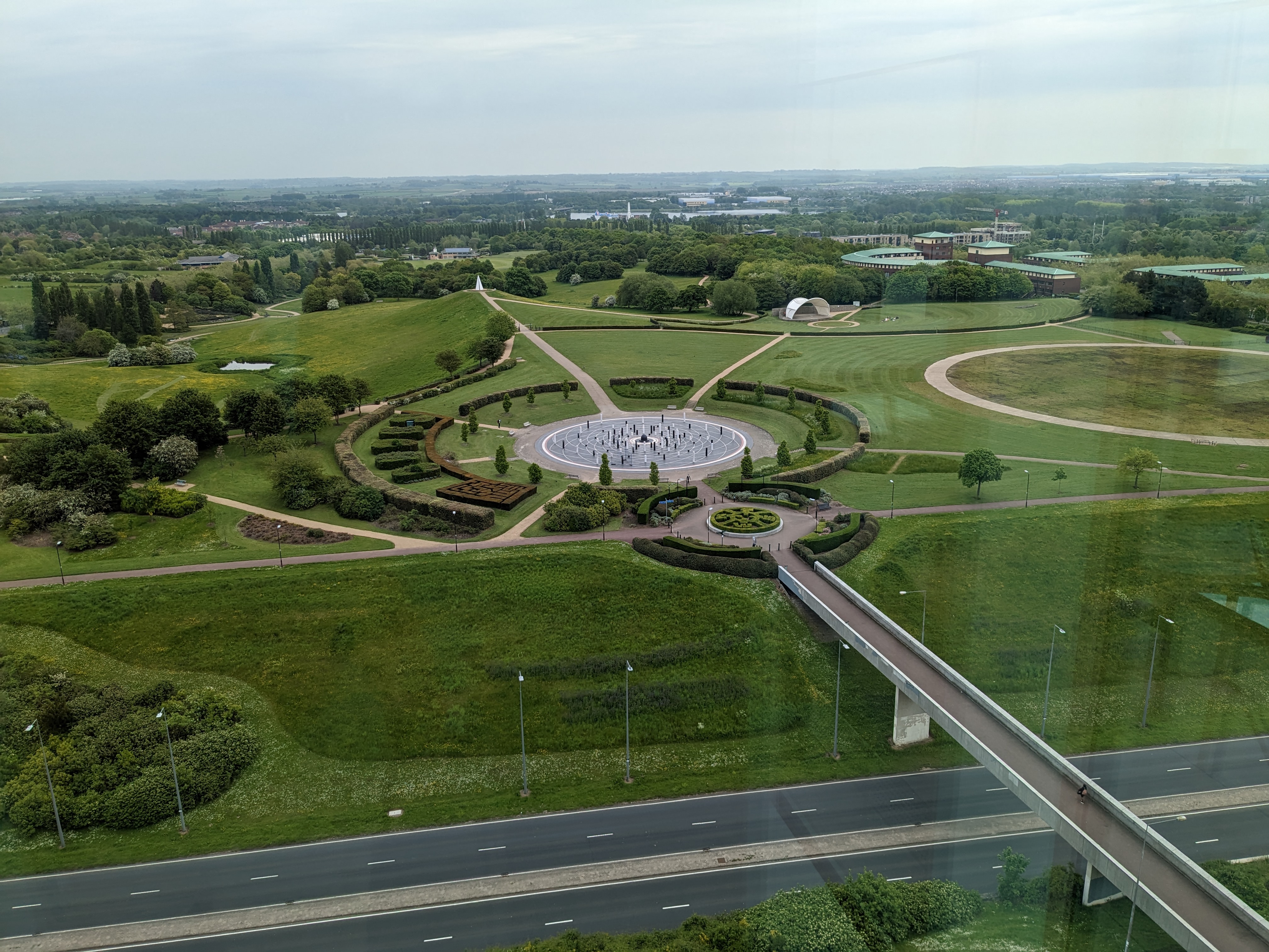
Campbell Park
Campbell Park is the name of the central park for Milton Keynes (England) and an electoral ward of the civil parish of Central Milton Keynes. (The nearby...
Nearby Amenities
Located within 500m of 52.057272,-0.754442Have you been to Neath Hill?
Leave your review of Neath Hill below (or comments, questions and feedback).