Neatham

Settlement in Hampshire East Hampshire

England

Neatham

Making use of that extra hour (1) London Road
Making use of that extra hour (1) Credit: Basher Eyre

Neatham is a small village located in Hampshire, England. Situated about 3 miles northeast of Alton, it is nestled in the beautiful countryside and boasts a population of around 200 residents. Neatham is known for its tranquil and picturesque surroundings, making it a popular destination for those seeking a peaceful retreat away from the hustle and bustle of city life.

The village is steeped in history, with records dating back to the Domesday Book of 1086. It is home to several historic buildings, including the Grade II listed Neatham Mill, which dates back to the 18th century and is a prominent feature of the village. The mill has been beautifully restored and now serves as a private residence.

Neatham offers a range of amenities to its residents, including a primary school, a village hall, and a church. The village hall hosts various community events throughout the year, bringing locals together and fostering a strong sense of community spirit.

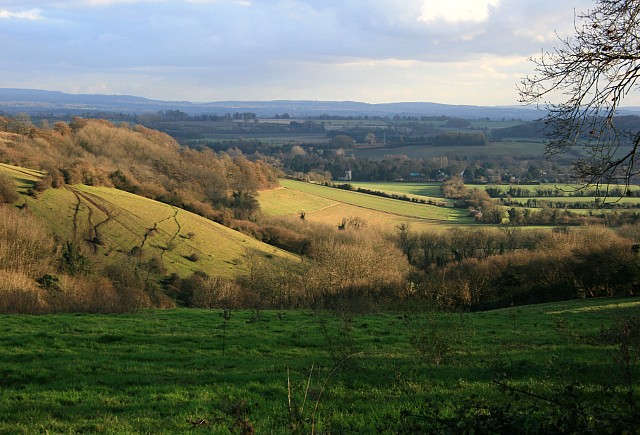
Surrounded by rolling hills and lush green fields, Neatham provides ample opportunities for outdoor activities. The village is crisscrossed with footpaths and bridleways, making it an ideal location for walkers, cyclists, and horse riders. The nearby River Wey offers fishing and boating opportunities, adding to the village's charm.

Despite its small size, Neatham has a close-knit community that takes pride in its beautiful surroundings and rich history. It is a place where residents can enjoy a peaceful way of life while still being within easy reach of larger towns and cities.

If you have any feedback on the listing, please let us know in the comments section below.
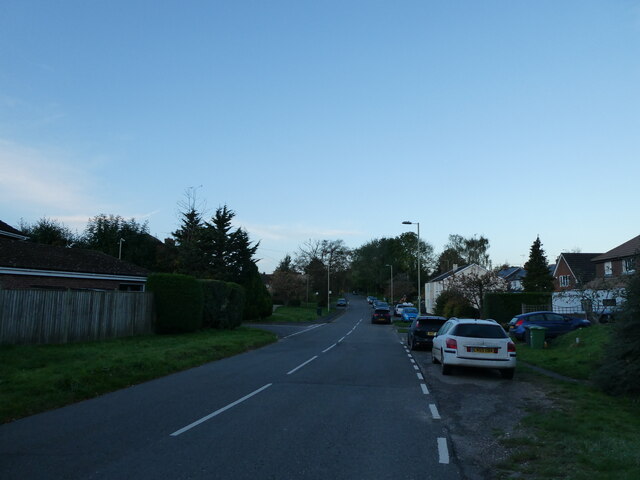
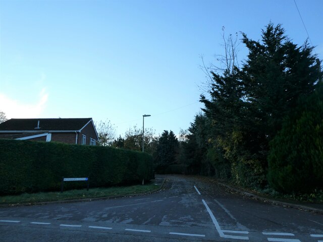
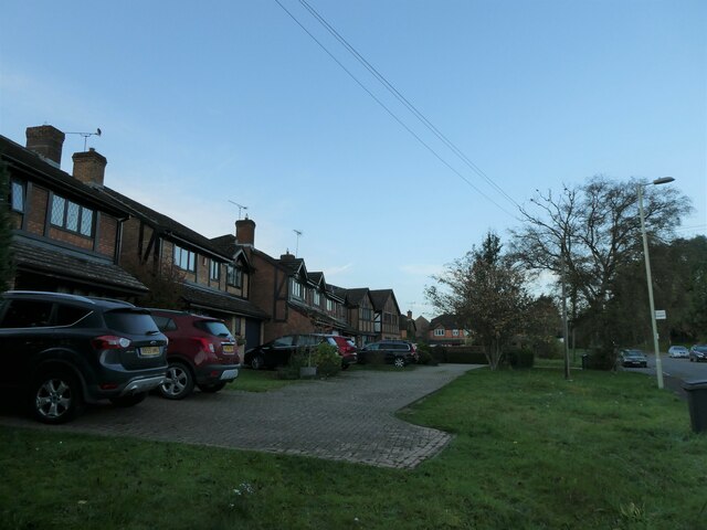
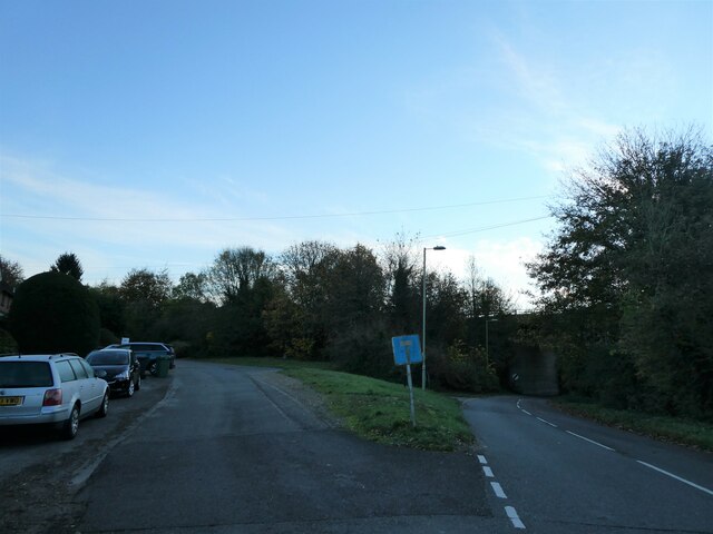
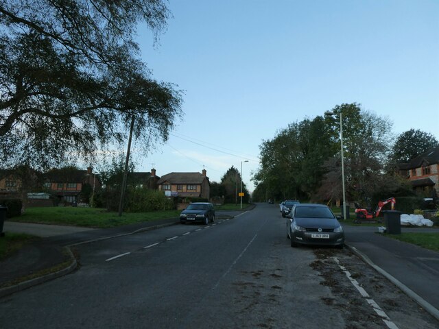
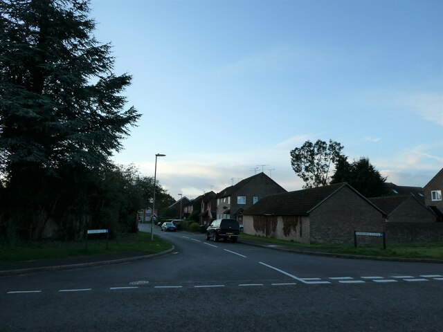
Neatham Images

Images are sourced within 2km of 51.16051/-0.940292 or Grid Reference SU7440. Thanks to Geograph Open Source API. All images are credited.

Making use of that extra hour (1) London Road
Making use of that extra hour (1)
London Road
Making use of that extra hour (2) Looking from London Road into Bonhams Close
Making use of that extra hour (2)
Looking from London Road into Bonhams Close
Making use of that extra hour (3) Houses in London Road
Making use of that extra hour (3)
Houses in London Road
Making use of that extra hour (4) Downs View
Making use of that extra hour (4)
Downs View
Making use of that extra hour (5) Holybourne Sports Field
Making use of that extra hour (5)
Holybourne Sports Field
Making use of that extra hour (6) Looking along Bonham Close towards London Road
Making use of that extra hour (6)
Looking along Bonham Close towards London Road
Making use of that extra hour (7) Eastern end of London Road
Making use of that extra hour (7)
Eastern end of London Road
Making use of that extra hour (8) Looking west-southwest in London Road
Making use of that extra hour (8)
Looking west-southwest in London Road
Making use of that extra hour (9) Cottages in London Road
Making use of that extra hour (9)
Cottages in London Road
Making use of that extra hour (10) Approaching the junction of Downs View and London Road
Making use of that extra hour (10)
Approaching the junction of Downs View and London Road
Making use of that extra hour (11) Looking from London Road into Downs View
Making use of that extra hour (11)
Looking from London Road into Downs View
Making use of that extra hour (12) Looking from Downs View out into London Road
Making use of that extra hour (12)
Looking from Downs View out into London Road
Making use of that extra hour (13) Looking west-southwest in London Road
Making use of that extra hour (13)
Looking west-southwest in London Road
Making use of that extra hour (14) Spur in London Road
Making use of that extra hour (14)
Spur in London Road
Making use of that extra hour (15) Looking from London Road into Vindomis Close
Making use of that extra hour (15)
Looking from London Road into Vindomis Close
Making use of that extra hour (16) London Road- looking westwards from junction with Vindomis Close
Making use of that extra hour (16)
London Road- looking westwards from junction with Vindomis Close
Making use of that extra hour (17) Footpath from London Road to Peakham Copse
Making use of that extra hour (17)
Footpath from London Road to Peakham Copse
Making use of that extra hour (18) London Road- looking eastwards from junction with Vindomis Close
Making use of that extra hour (18)
London Road- looking eastwards from junction with Vindomis Close
Show me another place!

Neatham is located at Grid Ref: SU7440 (Lat: 51.16051, Lng: -0.940292)

Administrative County: Hampshire

District: East Hampshire

Police Authority: Hampshire

What 3 Words

///loafing.blur.cars. Near Alton, Hampshire

Nearby Locations

Neatham

Related Wikis

Neatham

Neatham is a Roman hamlet, an ancient hundred and a former civil parish, now in the parish of Alton, in the East Hampshire district of Hampshire, England...

Holybourne

Holybourne is a village in the East Hampshire district of Hampshire, England. It is 1.3 miles (2.2 km) northeast of the centre of Alton, is contiguous...

Holybourne Freight railway station

Holybourne Freight railway station is where freight trains serving Holybourne Oil Terminal terminate. These freight trains ran daily from Bentley and Alton...

Treloar School

Treloar School and College is a non-maintained residential and day special school and college for disabled children and young people aged from 2 to 25...

Nearby Amenities

Located within 500m of 51.16051,-0.940292
Neatham
Place: hamlet
Source: NPE
Wikidata: Q11790412
Lat/Long: 51.1606154/-0.9417239
Bus Stop
Neatham Mill Lane
Naptan AtcoCode: 1900HA020385
Naptan Bearing: SW
Naptan CommonName: Neatham Mill Lane
Naptan NaptanCode: hamgpjat
Naptan Street: A31 Alton Road
Naptan Verified: no
Source: naptan_import
Lat/Long: 51.1618456/-0.9435168
Bus Stop
Neatham Mill Lane
Naptan AtcoCode: 1900HA020386
Naptan Bearing: NE
Naptan CommonName: Neatham Mill Lane
Naptan NaptanCode: hamgpgwj
Naptan Street: A31 Alton Road
Naptan Verified: no
Source: naptan_import
Lat/Long: 51.1614678/-0.9449282
Turning Circle
Lat/Long: 51.1642916/-0.9432186
Power: tower
Source: bing
Lat/Long: 51.1607965/-0.9383232
Power: tower
Source: bing
Lat/Long: 51.1585151/-0.9393876
Power: tower
Source: bing
Lat/Long: 51.163172/-0.9372494
Power: tower
Source: bing
Lat/Long: 51.1562306/-0.9403836
Baycroft Cottages
Place: isolated_dwelling
Source: Bing
Lat/Long: 51.161619/-0.9390615
Manor Farm
Place: farm
Source: Bing
Lat/Long: 51.1602157/-0.9402515
Meadows End
Place: isolated_dwelling
Source: Bing
Lat/Long: 51.1620176/-0.9454251
Turning Circle
Lat/Long: 51.1645706/-0.9425086
Turning Circle
Lat/Long: 51.1644986/-0.9425592
Direction: 145
Generator Method: photovoltaic
Generator Output Electricity: yes
Generator Solar Modules: 6
Generator Source: solar
Generator Type: solar_photovoltaic_panel
Location: roof
Power: generator
Lat/Long: 51.1636851/-0.9445099
Direction: 145
Generator Method: photovoltaic
Generator Output Electricity: yes
Generator Solar Modules: 6
Generator Source: solar
Generator Type: solar_photovoltaic_panel
Location: roof
Power: generator
Lat/Long: 51.1637192/-0.9444576
Direction: 145
Generator Method: photovoltaic
Generator Output Electricity: yes
Generator Solar Modules: 6
Generator Source: solar
Generator Type: solar_photovoltaic_panel
Location: roof
Power: generator
Lat/Long: 51.1637444/-0.944398
Direction: 145
Generator Method: photovoltaic
Generator Output Electricity: yes
Generator Solar Modules: 5
Generator Source: solar
Generator Type: solar_photovoltaic_panel
Location: roof
Power: generator
Lat/Long: 51.1637806/-0.9443477
The data included in this document is from www.openstreetmap.org. The data is made available under ODbL.

Have you been to Neatham?

Leave your review of Neatham below (or comments, questions and feedback).