Linford Wood
Settlement in Buckinghamshire
England
Linford Wood
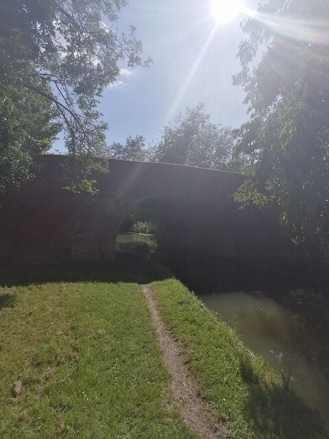
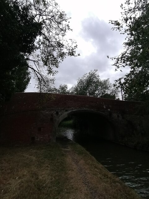
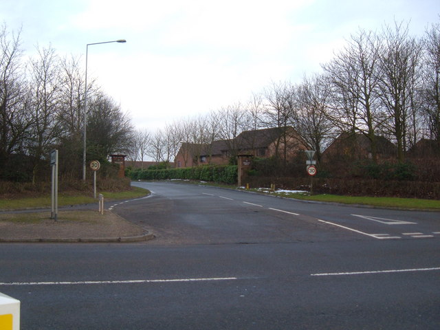
Linford Wood is a picturesque area located in the county of Buckinghamshire, England. It is a designated Local Nature Reserve and covers an area of approximately 70 hectares. The wood is situated near the town of Milton Keynes and is easily accessible by road and public transportation.
Linford Wood is known for its diverse range of flora and fauna, making it a popular destination for nature enthusiasts and wildlife lovers. The wood is home to a variety of tree species, including oak, beech, and birch, which provide a stunning backdrop throughout the year. In spring, the wood comes alive with vibrant bluebells carpeting the forest floor, creating a truly breathtaking sight.
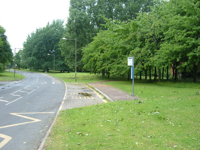
Aside from its natural beauty, Linford Wood offers numerous walking trails and paths, allowing visitors to explore its tranquil surroundings. These paths are well-maintained and suitable for all ages and abilities. The wood also features several picnic areas and benches, making it an ideal spot for a leisurely outdoor lunch or a peaceful escape from the hustle and bustle of daily life.
Linford Wood is not only a haven for wildlife and nature enthusiasts but also a historical site. It is believed to have been in existence for over 400 years and has witnessed various changes throughout its history. Today, it serves as a recreational space for the local community, offering opportunities for relaxation, exercise, and education.
Overall, Linford Wood is a hidden gem in Buckinghamshire, offering a tranquil retreat for visitors to immerse themselves in nature's beauty and experience the wonders of the great outdoors.
If you have any feedback on the listing, please let us know in the comments section below.
Linford Wood Images
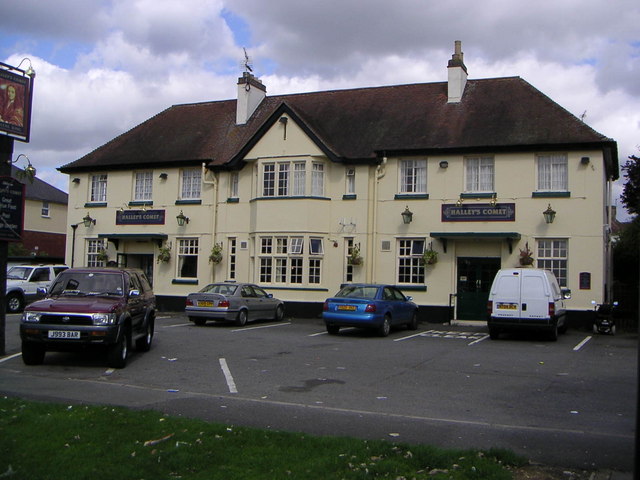
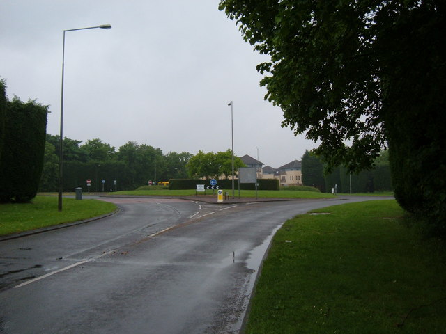
Images are sourced within 2km of 52.052808/-0.76121366 or Grid Reference SP8540. Thanks to Geograph Open Source API. All images are credited.

Linford Wood is located at Grid Ref: SP8540 (Lat: 52.052808, Lng: -0.76121366)
Unitary Authority: Milton Keynes
Police Authority: Thames Valley
What 3 Words
///nagging.clutter.paces. Near Milton Keynes, Buckinghamshire
Nearby Locations
Related Wikis
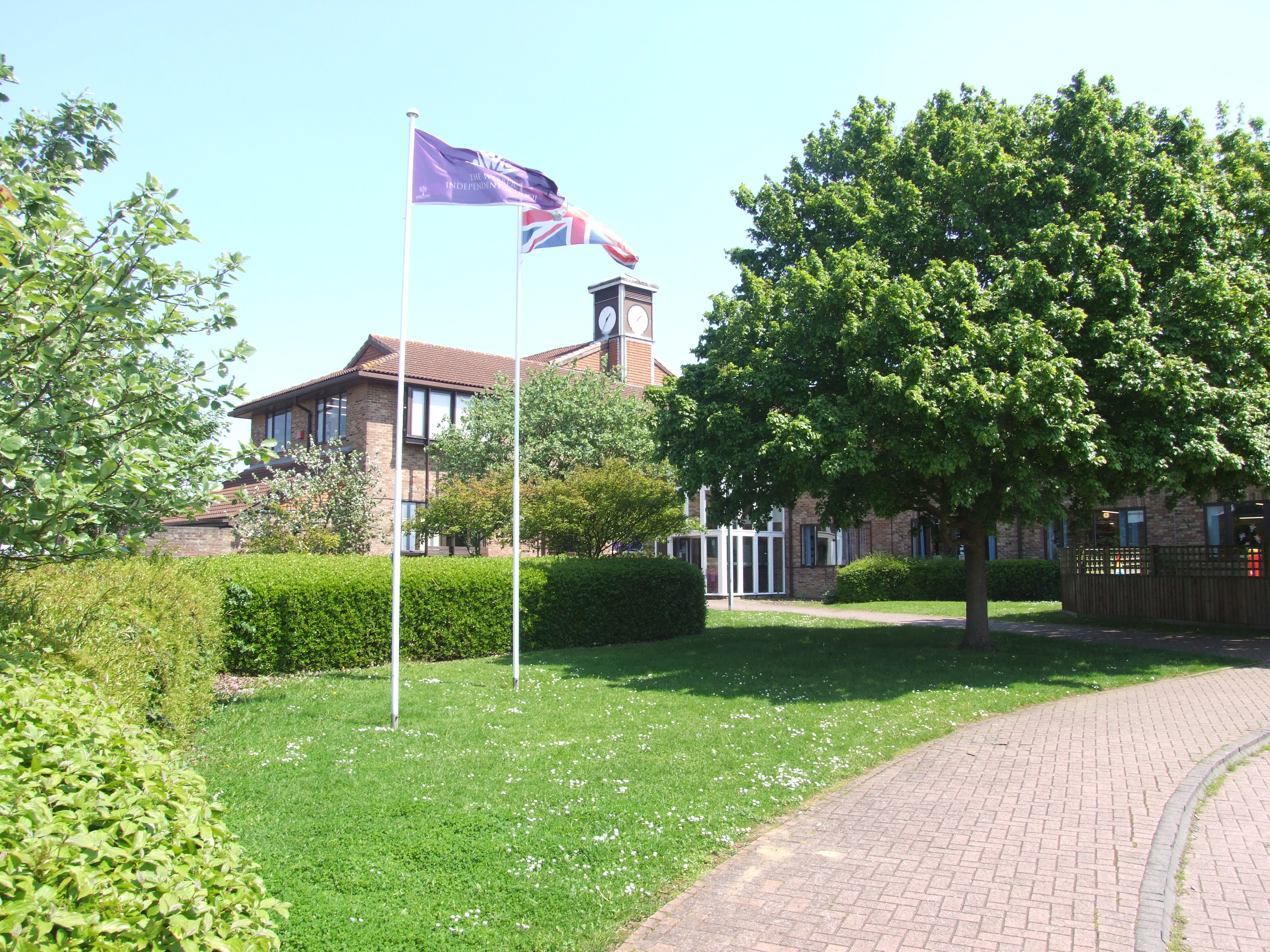
Webber Independent School
The Webber Independent School) is a coeducational independent school situated in Stantonbury, in the north of Milton Keynes, England, owned by GEMS Education...

Central Milton Keynes shopping centre
The Central Milton Keynes shopping area is a regional shopping centre located in Milton Keynes, Buckinghamshire, England which is about 50 miles (80 km...

Central Milton Keynes
Central Milton Keynes is the central business district of Milton Keynes, Buckinghamshire, England and a civil parish in its own right, with a town council...
Stantonbury School
Stantonbury School (formerly known as Stantonbury Campus and Stantonbury International School) is a coeducational secondary school located in north Milton...
Nearby Amenities
Located within 500m of 52.052808,-0.76121366Have you been to Linford Wood?
Leave your review of Linford Wood below (or comments, questions and feedback).