Benslie
Settlement in Ayrshire
Scotland
Benslie
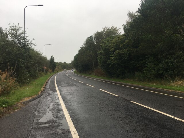
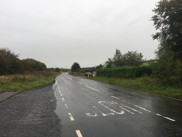
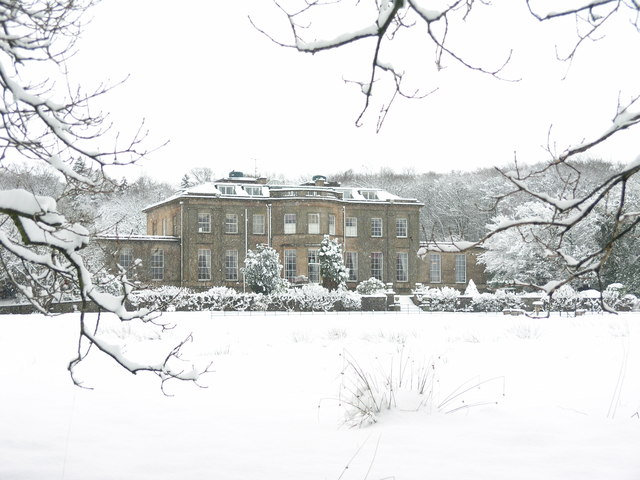
Benslie is a small village located in the South Ayrshire region of Scotland. Situated approximately 5 miles northeast of the town of Kilwinning, Benslie is nestled between the rolling hills of Ayrshire, offering picturesque views of the surrounding countryside.
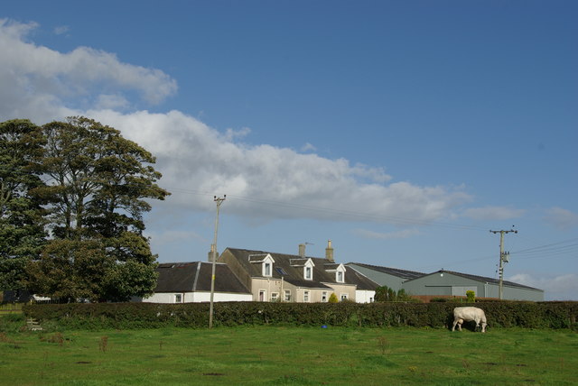
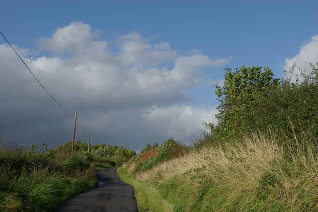
The village is known for its peaceful and rural setting, making it an ideal location for those seeking a quiet and idyllic lifestyle. Benslie is primarily a residential area, consisting of a small number of houses and cottages. The architecture in the village is mostly traditional, reflecting the area's rich history.
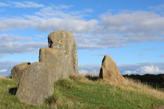
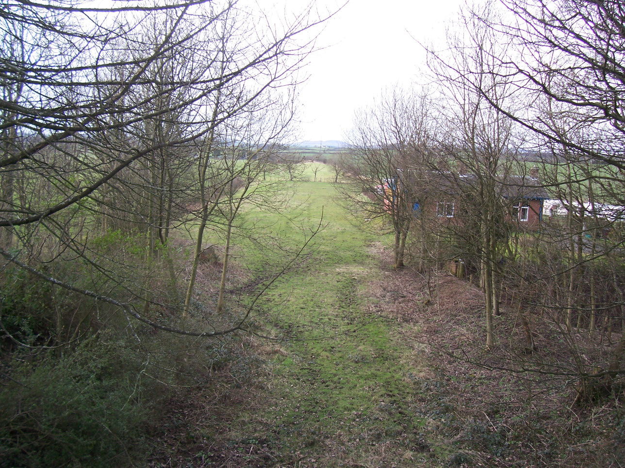
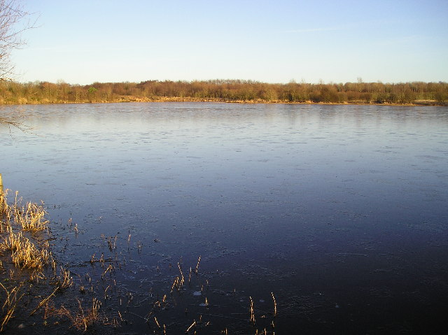
Benslie is surrounded by lush green fields and farmland, which contribute to the village's tranquil atmosphere. The nearby Garnock River meanders through the landscape, adding to the natural beauty of the area. The village also benefits from being close to several nature reserves and walking trails, making it a haven for outdoor enthusiasts.
Despite its small size, Benslie is well-connected to nearby towns and cities. The village is within easy reach of Kilwinning, where residents can access a range of amenities, including shops, supermarkets, schools, and healthcare facilities. The city of Glasgow is also easily accessible by road and rail, offering even more opportunities for employment, entertainment, and cultural experiences.
Overall, Benslie offers a peaceful and scenic residential setting, making it an appealing location for those seeking a rural lifestyle while still having access to nearby amenities and urban centers.
If you have any feedback on the listing, please let us know in the comments section below.
Benslie Images
Images are sourced within 2km of 55.651346/-4.646175 or Grid Reference NS3342. Thanks to Geograph Open Source API. All images are credited.


Benslie is located at Grid Ref: NS3342 (Lat: 55.651346, Lng: -4.646175)
Unitary Authority: North Ayrshire
Police Authority: Ayrshire
What 3 Words
///aquatics.internal.discusses. Near Irvine, North Ayrshire
Nearby Locations
Related Wikis

Benslie
Benslie is a small village in North Ayrshire, in the parish of Kilwinning, Scotland. Map reference NS 336 429. == History == This village, previously Benislay...
Montgreenan railway station
Montgreenan railway station was a railway station near the village of Benslie, three miles north east of the town of Kilwinning, North Ayrshire, Scotland...
Fergushill
Fergushill is a small community in North Ayrshire, Parish of Kilwinning, Scotland. The Barony of Fergushill was held by the Fergushill family of that Ilk...
Lands of Doura
The Lands of Doura, Dawra, Dawray, Dowrey Dowray, Dourey or Douray formed a small estate, at one time part of the Barony of Corsehill and Doura, situated...
Eglinton Loch
Eglinton Loch (NS 232698 642303) is a small freshwater loch in the North Ayrshire Council Areas (KA12 8TA), lying in a holm of the Lugton Water near Irvine...
Irvine New Town Trail
The Irvine New Town Trail is a recreational cycleway and footpath around Irvine, North Ayrshire, Scotland. The route is 19 kilometres (12 mi) long. The...
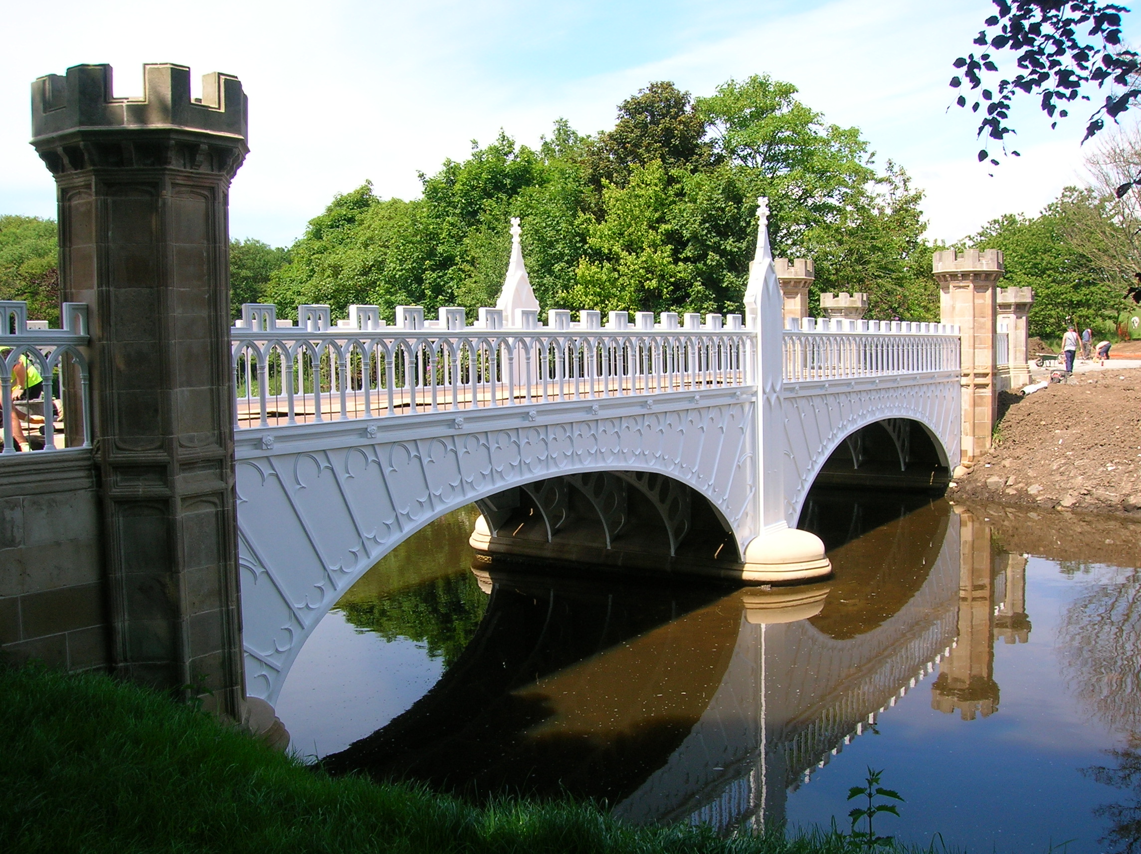
Eglinton Tournament Bridge
The Eglinton Tournament Bridge is a bridge located within Eglinton Country Park near Kilwinning, North Ayrshire, Scotland. The bridge crosses the Lugton...

Lands of Sevenacres
The Lands of Sevenacres known locally as Snacres were originally part of the holdings of Kilwinning Abbey in North Ayrshire, Scotland. The Laird of Sevenacres...
Nearby Amenities
Located within 500m of 55.651346,-4.646175Have you been to Benslie?
Leave your review of Benslie below (or comments, questions and feedback).