Benslie Wood

Wood, Forest in Ayrshire

Scotland

Benslie Wood

A736 Cairnmount Road
A736 Cairnmount Road Credit: Steven Brown

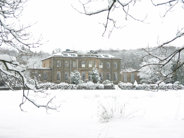
Benslie Wood is a picturesque forest located in Ayrshire, Scotland. Spread across an area of approximately 150 hectares, this woodland is a popular destination for nature enthusiasts, walkers, and outdoor enthusiasts seeking tranquility and natural beauty.

Situated near the town of Kilwinning, Benslie Wood is easily accessible and offers a variety of amenities for visitors. The forest boasts well-maintained trails, making it an ideal location for leisurely walks or more challenging hikes. The paths wind through a diverse landscape, including ancient woodlands, open glades, and meandering streams.

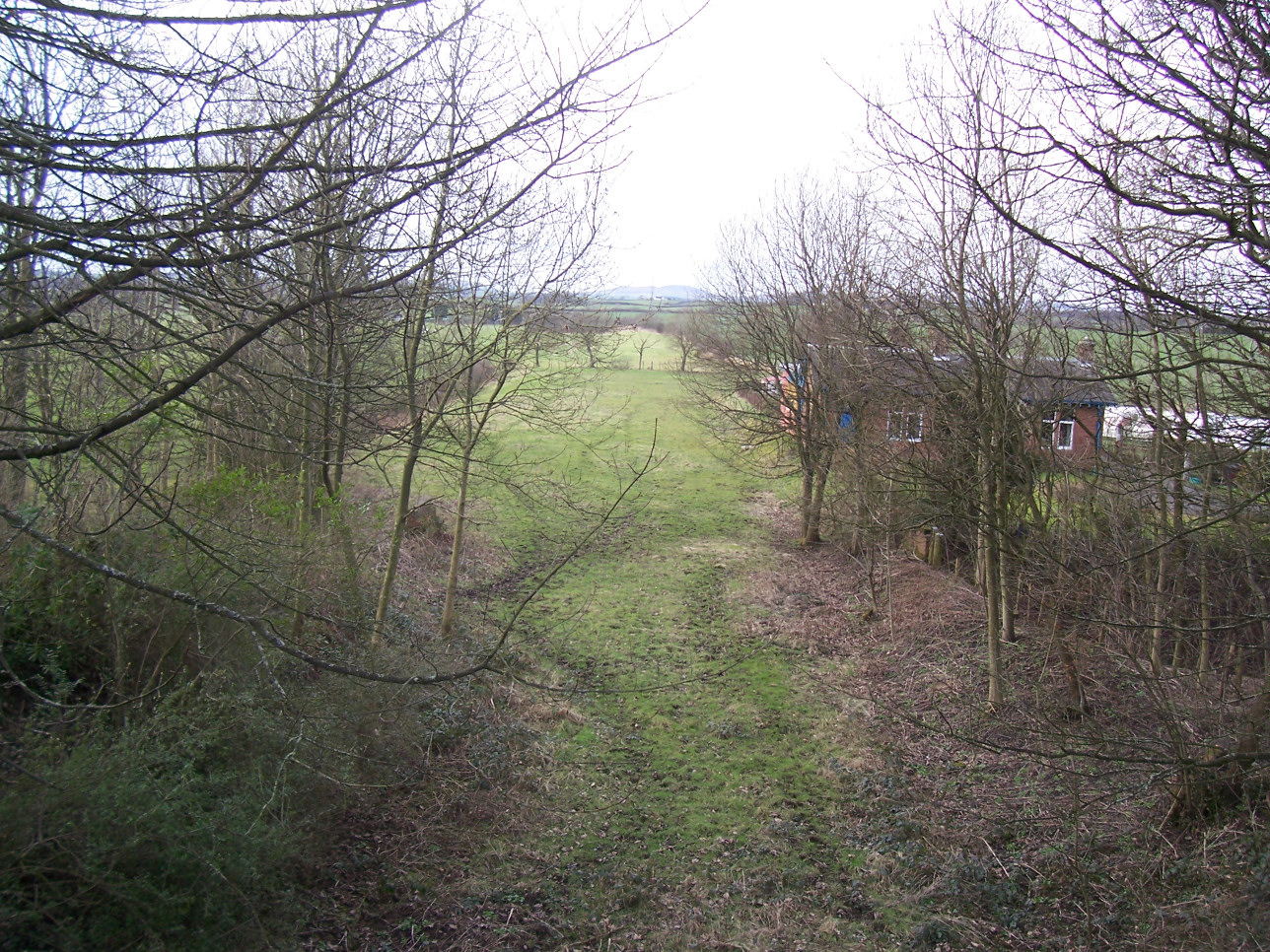
The woodland is home to a rich variety of flora and fauna, making it a haven for wildlife enthusiasts. It supports a diverse range of habitats, including oak, birch, and coniferous trees, which provide shelter for a wide array of bird species, such as woodpeckers, finches, and owls. Deer, foxes, and squirrels are also commonly spotted in the area.

Benslie Wood offers a peaceful retreat from the hustle and bustle of everyday life. Whether visitors are seeking a quiet stroll, a family picnic, or a chance to explore nature, this woodland provides a serene and natural environment. The forest is well-maintained by local authorities, ensuring a safe and pleasant experience for all who visit.

Overall, Benslie Wood is a cherished natural gem in Ayrshire, offering a chance to connect with nature and enjoy the beauty of Scotland's woodlands.

If you have any feedback on the listing, please let us know in the comments section below.
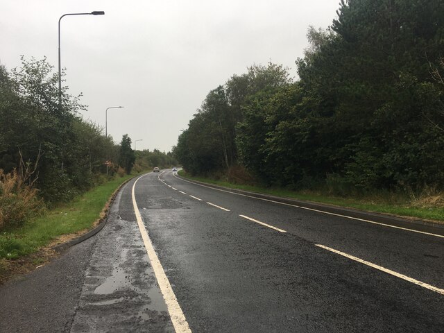
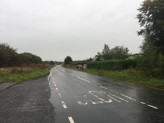
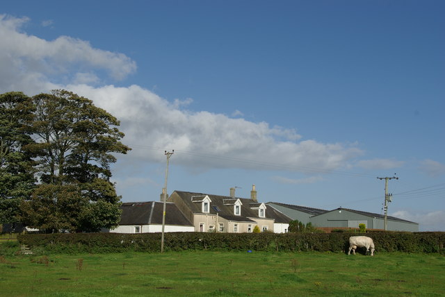
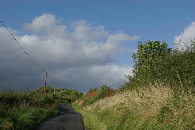
Benslie Wood Images

Images are sourced within 2km of 55.649989/-4.6441927 or Grid Reference NS3342. Thanks to Geograph Open Source API. All images are credited.

A736 Cairnmount Road
A736 towards Barrhead
Eglinton Country Park - Old Ice House (restored) The original ice house in Eglinton Country Park was built at a cost of £25 by Alexander Montgomorie (1729–1769), 10th Earl of Eglinton.
Eglinton Country Park - Old Ice House (restored)
The original ice house in Eglinton Country Park was built at a cost of £25 by Alexander Montgomorie (1729–1769), 10th Earl of Eglinton.
Eglinton Country Park The visitor centre and restaurant lie behind these buildings near the main car park. Eglinton Country Park is operated by North Ayrshire Council.  Entry is free of charge, giving access to some interesting and attractive walks.
Eglinton Country Park
The visitor centre and restaurant lie behind these buildings near the main car park. Eglinton Country Park is operated by North Ayrshire Council. Entry is free of charge, giving access to some interesting and attractive walks.
Eglinton Loch Frozen The loch is a main feature of Eglinton Country Park, with fishing by permit only.  The Country Park is operated by North Ayrshire Council.
Eglinton Loch Frozen
The loch is a main feature of Eglinton Country Park, with fishing by permit only. The Country Park is operated by North Ayrshire Council.
Eglinton Loch Outflow Water drainage from the loch is controlled by the white sluice gate, shown in the background of this shot.  Even on such a cold and frosty morning, with the loch completely frozen over, this marshy area was open.
Eglinton Loch Outflow
Water drainage from the loch is controlled by the white sluice gate, shown in the background of this shot. Even on such a cold and frosty morning, with the loch completely frozen over, this marshy area was open.
Lugton Water This view shows a small footbridge over the Lugton Water in Eglinton Country Park. Looking downstream on a chilly February morning.
Lugton Water
This view shows a small footbridge over the Lugton Water in Eglinton Country Park. Looking downstream on a chilly February morning.
Slippery Stuff Located in Eglinton Country Park, vehicle access to this ford is limited.  In keeping with our modern politically-correct world, visitors have to be told that wet surfaces are slippery. How did we ever manage before?
Slippery Stuff
Located in Eglinton Country Park, vehicle access to this ford is limited. In keeping with our modern politically-correct world, visitors have to be told that wet surfaces are slippery. How did we ever manage before?
Lugton Water Viewed on a chilly February morning.  Eglinton Country Park is operated by North Ayrshire Council.  Entry is free of charge, giving access to some interesting and attractive walks.
Lugton Water
Viewed on a chilly February morning. Eglinton Country Park is operated by North Ayrshire Council. Entry is free of charge, giving access to some interesting and attractive walks.
Bridge Over Lugton Water An interesting old bridge across the Lugton Water in Eglinton Country Park. The park is operated by North Ayrshire Council.  Entry is free of charge, giving access to some interesting and attractive walks.
Bridge Over Lugton Water
An interesting old bridge across the Lugton Water in Eglinton Country Park. The park is operated by North Ayrshire Council. Entry is free of charge, giving access to some interesting and attractive walks.
Eglinton Country Park Eglinton Country Park is operated by North Ayrshire Council.  Entry is free of charge, giving access to some interesting and attractive walks.
Eglinton Country Park
Eglinton Country Park is operated by North Ayrshire Council. Entry is free of charge, giving access to some interesting and attractive walks.
North Fergushill
North Fergushill
Minor road between North Fergushill & Burrowland
Montgreenan Mansion House
Joining A78 from A737 slip road Eastbound
Joining A78 from A737 slip road
Eastbound
Sourlie Hill Standing Stones, Eglinton Country Park An opencast mine was established at Sourlie in 1983. Once the extraction process ended in 1986, reclamation and landscaping followed until completion in 1987. These large boulders recovered during mining were erected on top of the restored Sourlie Hill (also known as Cairnmount Hill).
Sourlie Hill Standing Stones, Eglinton Country Park
An opencast mine was established at Sourlie in 1983. Once the extraction process ended in 1986, reclamation and landscaping followed until completion in 1987. These large boulders recovered during mining were erected on top of the restored Sourlie Hill (also known as Cairnmount Hill).
Headless Statues, Eglinton Country Park Inscription reads 'Ye Maunna Tramp on the Scotch Thistle LADDIE'
Headless Statues, Eglinton Country Park
Inscription reads 'Ye Maunna Tramp on the Scotch Thistle LADDIE'
Show me another place!

Benslie Wood is located at Grid Ref: NS3342 (Lat: 55.649989, Lng: -4.6441927)

Unitary Authority: North Ayrshire

Police Authority: Ayrshire

What 3 Words

///puddings.shop.bride. Near Irvine, North Ayrshire

Nearby Locations

Benslie Wood Benslie

Related Wikis

Benslie

Benslie is a small village in North Ayrshire, in the parish of Kilwinning, Scotland. Map reference NS 336 429. == History == This village, previously Benislay...

Montgreenan railway station

Montgreenan railway station was a railway station near the village of Benslie, three miles north east of the town of Kilwinning, North Ayrshire, Scotland...

Lands of Doura

The Lands of Doura, Dawra, Dawray, Dowrey Dowray, Dourey or Douray formed a small estate, at one time part of the Barony of Corsehill and Doura, situated...

Fergushill

Fergushill is a small community in North Ayrshire, Parish of Kilwinning, Scotland. The Barony of Fergushill was held by the Fergushill family of that Ilk...

Nearby Amenities

Located within 500m of 55.649989,-4.6441927
Benslie
Place: village
Lat/Long: 55.651073/-4.6467233
Power: pole
Lat/Long: 55.6466873/-4.6488822
Power: pole
Lat/Long: 55.6472572/-4.6479431
Power: pole
Lat/Long: 55.6478931/-4.646858
Power: pole
Lat/Long: 55.648509/-4.6458625
Power: pole
Lat/Long: 55.6482982/-4.6450946
Power: pole
Lat/Long: 55.6477813/-4.6442432
Power: pole
Lat/Long: 55.647176/-4.6432143
Power: pole
Lat/Long: 55.6464965/-4.6423149
Power: pole
Lat/Long: 55.646858/-4.6420248
Power: pole
Lat/Long: 55.6477295/-4.6413529
Power: pole
Lat/Long: 55.6486114/-4.6407122
Power: pole
Lat/Long: 55.6495405/-4.6400194
Power: pole
Lat/Long: 55.6503153/-4.6390031
Power: pole
Lat/Long: 55.6510571/-4.6379931
Power: pole
Lat/Long: 55.6519484/-4.6371041
Power: pole
Lat/Long: 55.6525136/-4.6377927
Power: pole
Lat/Long: 55.6530635/-4.6384772
Power: pole
Lat/Long: 55.6533231/-4.6402406
Power: pole
Lat/Long: 55.6529899/-4.6413122
Power: pole
Lat/Long: 55.6526231/-4.6492432
The data included in this document is from www.openstreetmap.org. The data is made available under ODbL.

Have you been to Benslie Wood?

Leave your review of Benslie Wood below (or comments, questions and feedback).