Nantperis
Settlement in Caernarfonshire
Wales
Nantperis
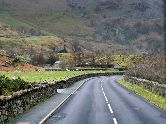
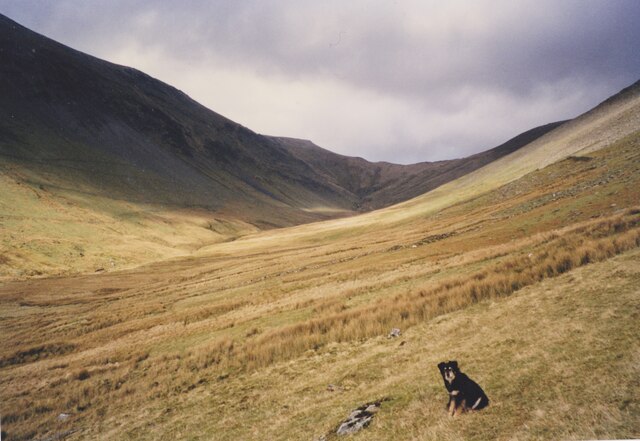
Nantperis is a small village located in the county of Caernarfonshire, Wales. Situated in the picturesque Nant Ffrancon valley, it is surrounded by stunning natural landscapes and is a popular destination for outdoor enthusiasts.
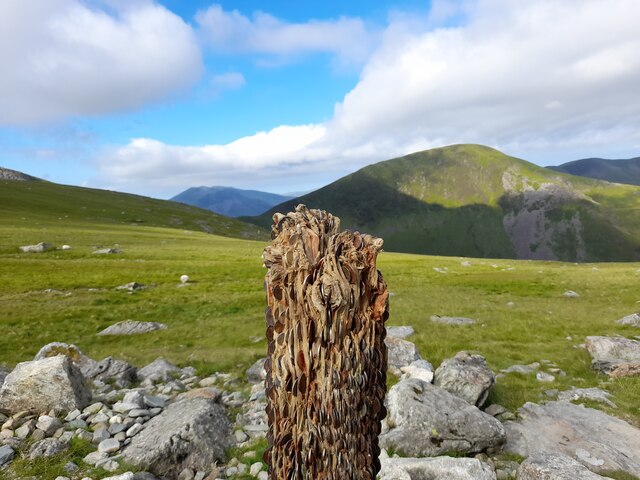
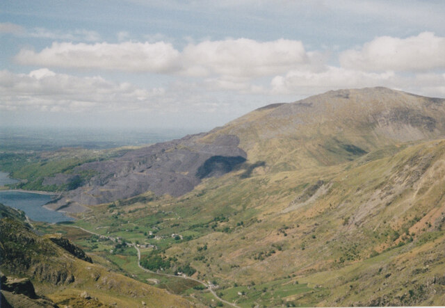
The village is nestled at the foot of the iconic Snowdon, the highest mountain in Wales, making it an ideal base for hikers and climbers. The nearby Llanberis Pass, known for its dramatic scenery, is also easily accessible from Nantperis. Outdoor activities such as hillwalking, rock climbing, and mountain biking are all popular pastimes in the area.
Despite its small size, Nantperis has a rich history. The village was once a hub for slate quarrying during the 19th and early 20th centuries, and remnants of this industry can still be seen today. The Dinorwig Quarry, located just a short distance away, was one of the largest slate quarries in the world and employed a significant portion of the local population.
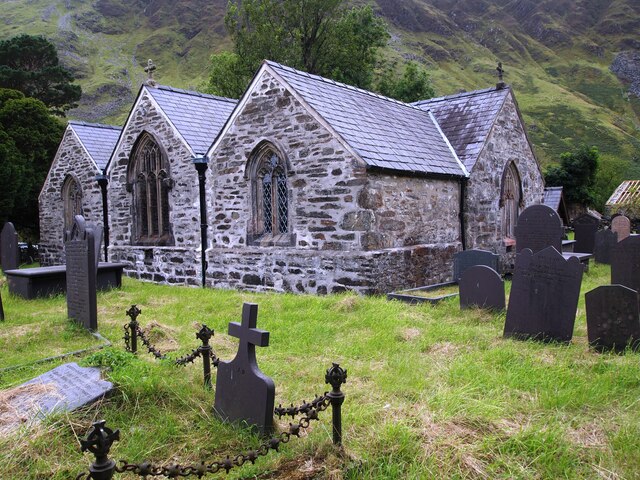
Today, Nantperis is a peaceful and close-knit community. It boasts a charming village pub, which serves as a meeting place for locals and visitors alike. The village is also home to a small chapel, reflecting the strong religious heritage of the region.
With its stunning natural surroundings and historical significance, Nantperis offers a unique and authentic Welsh experience for those seeking tranquility and adventure in equal measure.
If you have any feedback on the listing, please let us know in the comments section below.
Nantperis Images
Images are sourced within 2km of 53.105846/-4.084887 or Grid Reference SH6058. Thanks to Geograph Open Source API. All images are credited.


Nantperis is located at Grid Ref: SH6058 (Lat: 53.105846, Lng: -4.084887)
Unitary Authority: Gwynedd
Police Authority: North Wales
Also known as: Nant Peris
What 3 Words
///musically.hiker.lamppost. Near Llanberis, Gwynedd
Nearby Locations
Related Wikis

Paddy Buckley Round
The Paddy Buckley Round, also known as the Welsh Classical Round, is a long distance fell running challenge in Snowdonia, Wales. The route is a circuit...
Halfway railway station
Halfway railway station is an intermediate stop on the Snowdon Mountain Railway, halfway along the line and close to the 'Halfway House' cafe on the nearby...
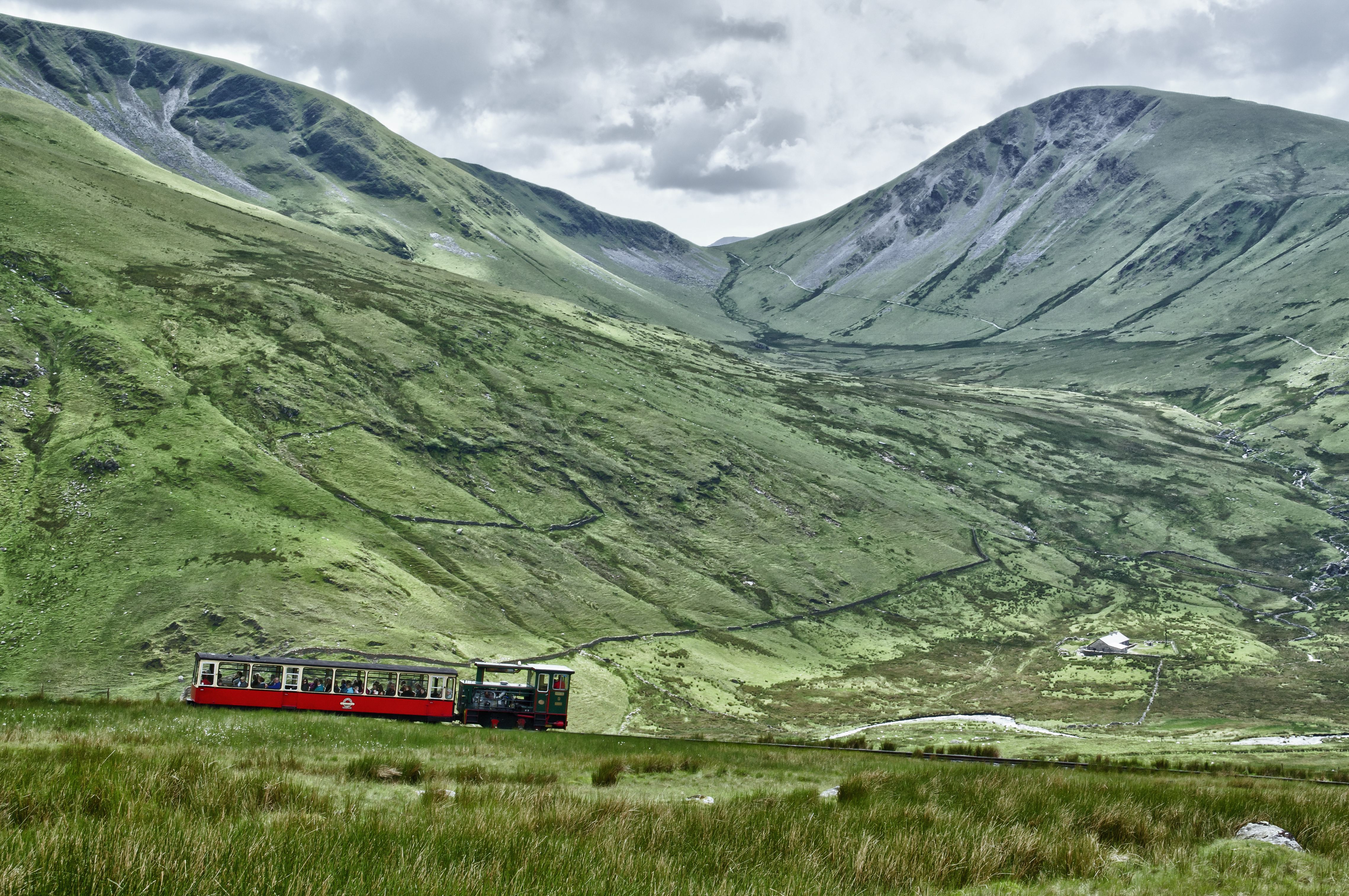
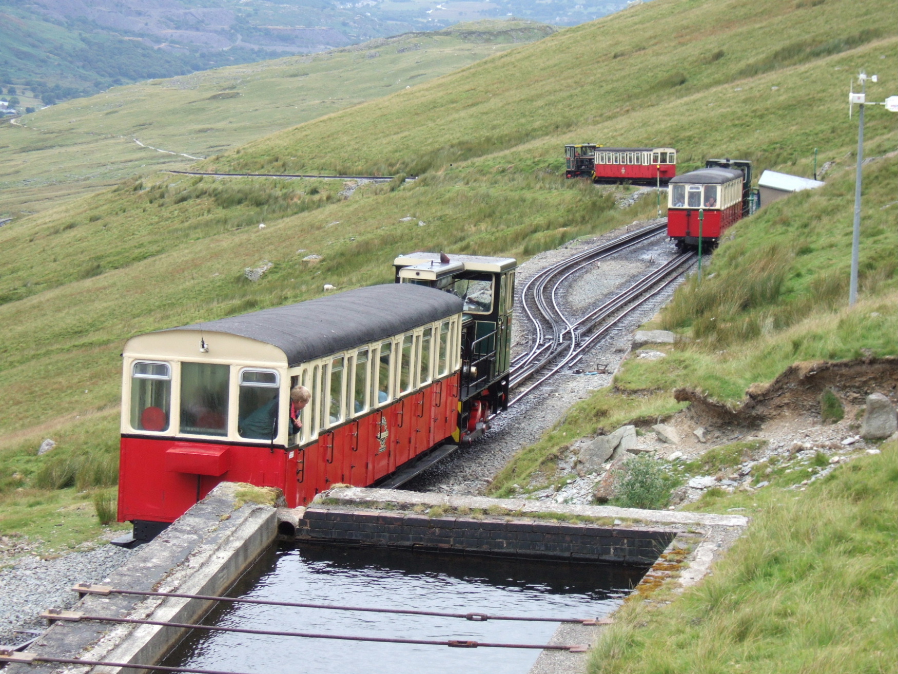
Snowdon Mountain Railway
The Snowdon Mountain Railway (SMR; Welsh: Rheilffordd yr Wyddfa) is a narrow gauge rack and pinion mountain railway in Gwynedd, north-west Wales. It is...

Llyn Peris
Llyn Peris is a lake in Snowdonia, Wales, approximately 1.8 km long and situated close to the villages of Llanberis and Nant Peris, and the smaller twin...
Nearby Amenities
Located within 500m of 53.105846,-4.084887Have you been to Nantperis?
Leave your review of Nantperis below (or comments, questions and feedback).