Nant Peris
Settlement in Caernarfonshire
Wales
Nant Peris
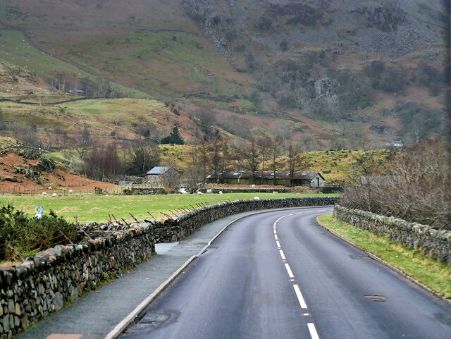
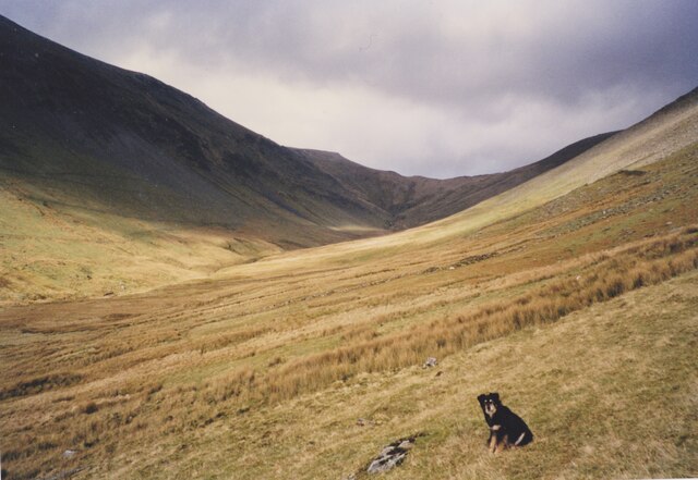
Nant Peris is a small village located in the county of Caernarfonshire, Wales. Situated in the picturesque Nant Peris Valley, the village is surrounded by stunning natural beauty and is often referred to as the gateway to the Snowdonia National Park.
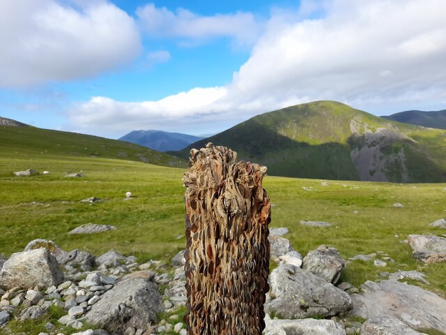
The village itself is sparsely populated, with a close-knit community of residents who largely rely on tourism and agriculture for their livelihoods. The local economy is centered around outdoor activities, with Nant Peris being a popular destination for hikers, climbers, and nature enthusiasts. The village is renowned for its proximity to Mount Snowdon, the highest peak in Wales, and offers easy access to various hiking trails and climbing routes.
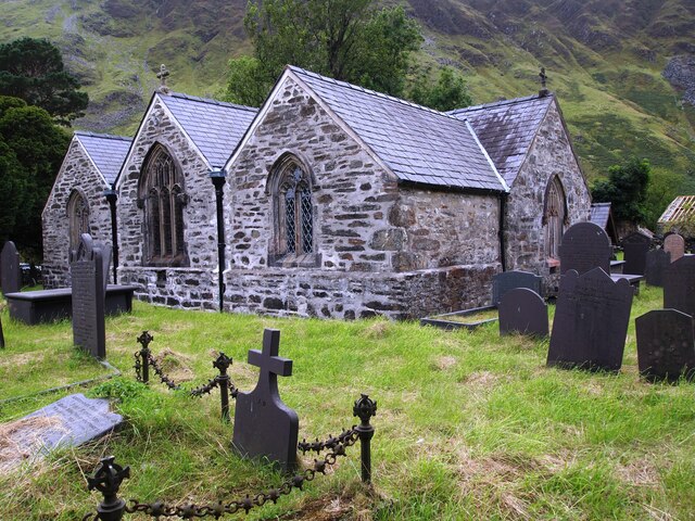
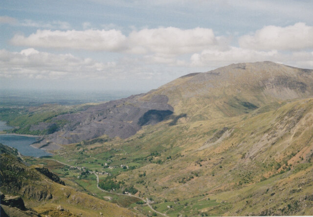
Nant Peris is also home to a number of historical and cultural attractions. The village boasts a charming old church, St. Peris, which dates back to the 12th century and is a notable example of Welsh ecclesiastical architecture. The nearby Llyn Peris, a picturesque lake fed by mountain streams, is a popular spot for fishing and boating.
In terms of amenities, Nant Peris has a few small shops and cafes that cater to both locals and tourists. The village also offers a range of accommodation options, including bed and breakfasts and self-catering cottages, allowing visitors to fully immerse themselves in the tranquility of the surrounding countryside.
Overall, Nant Peris is a peaceful and idyllic village that offers a perfect base for exploring the natural wonders of Snowdonia National Park, making it a popular destination for nature lovers and outdoor enthusiasts.
If you have any feedback on the listing, please let us know in the comments section below.
Nant Peris Images
Images are sourced within 2km of 53.105846/-4.084887 or Grid Reference SH6058. Thanks to Geograph Open Source API. All images are credited.


Nant Peris is located at Grid Ref: SH6058 (Lat: 53.105846, Lng: -4.084887)
Unitary Authority: Gwynedd
Police Authority: North Wales
Also known as: Nantperis
What 3 Words
///musically.hiker.lamppost. Near Llanberis, Gwynedd
Nearby Locations
Related Wikis

Paddy Buckley Round
The Paddy Buckley Round, also known as the Welsh Classical Round, is a long distance fell running challenge in Snowdonia, Wales. The route is a circuit...
Halfway railway station
Halfway railway station is an intermediate stop on the Snowdon Mountain Railway, halfway along the line and close to the 'Halfway House' cafe on the nearby...
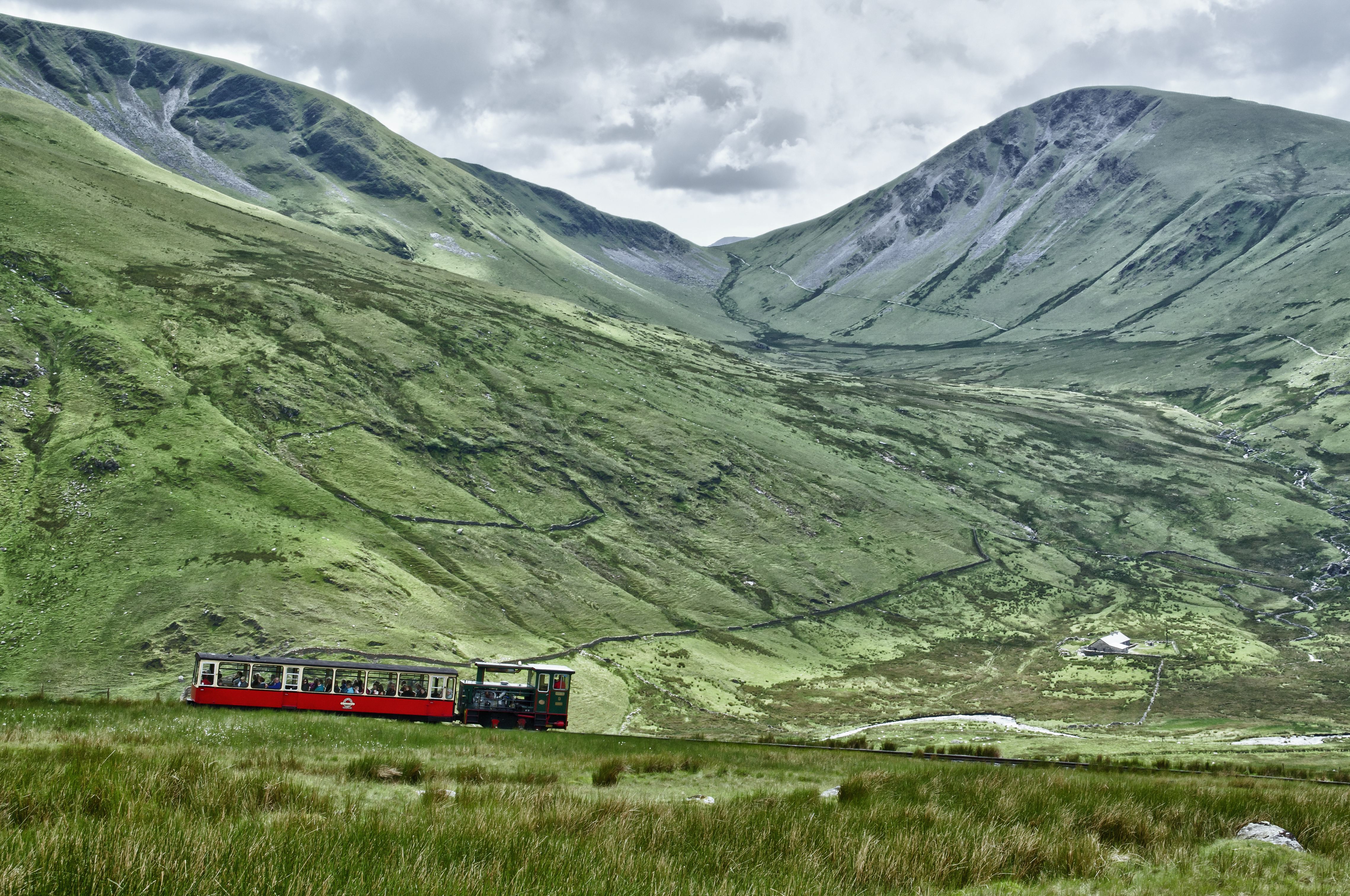
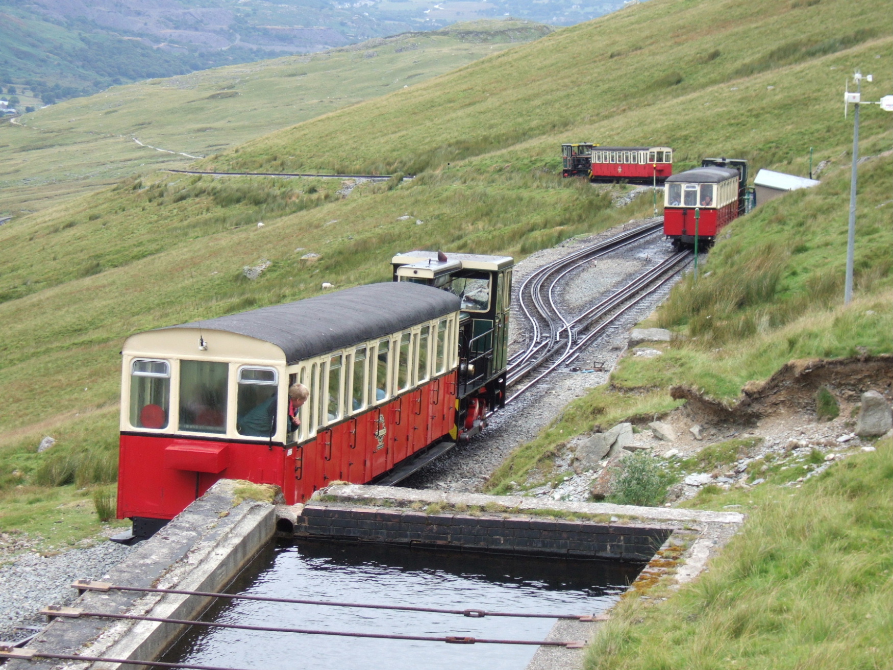
Snowdon Mountain Railway
The Snowdon Mountain Railway (SMR; Welsh: Rheilffordd yr Wyddfa) is a narrow gauge rack and pinion mountain railway in Gwynedd, north-west Wales. It is...

Llyn Peris
Llyn Peris is a lake in Snowdonia, Wales, approximately 1.8 km long and situated close to the villages of Llanberis and Nant Peris, and the smaller twin...
Nearby Amenities
Located within 500m of 53.105846,-4.084887Have you been to Nant Peris?
Leave your review of Nant Peris below (or comments, questions and feedback).