Nant Peris
Valley in Caernarfonshire
Wales
Nant Peris
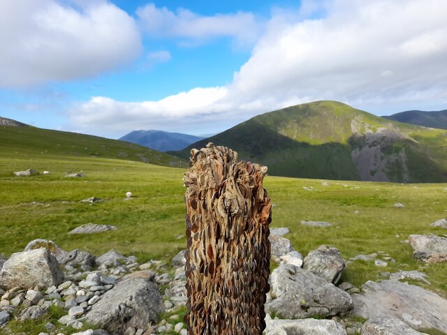
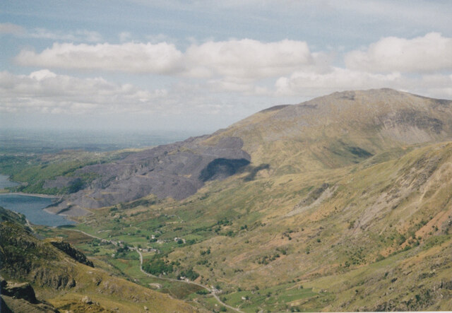
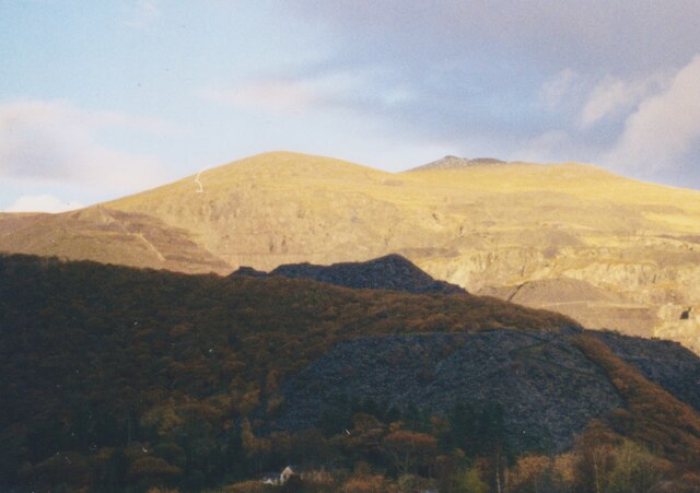
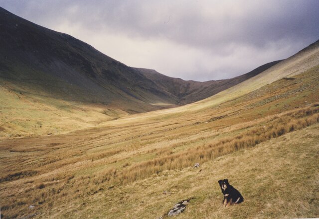
Nant Peris is a picturesque valley located in the county of Caernarfonshire, Wales. Situated in the Snowdonia National Park, it is surrounded by stunning mountain ranges and breathtaking natural beauty. The valley is renowned for its tranquil atmosphere and is a popular destination for outdoor enthusiasts and nature lovers.
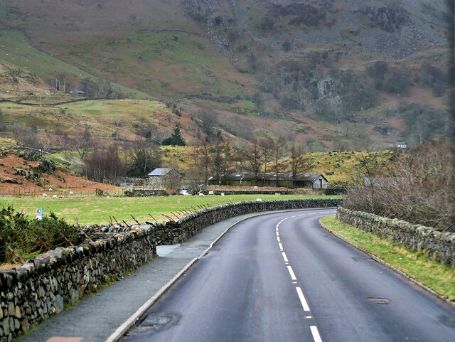
Nestled between the mountains of Snowdon and Glyderau, Nant Peris offers a range of activities for visitors to enjoy. Hiking and climbing are particularly popular, with numerous trails and routes catering to all skill levels. The nearby Llanberis Pass is a gateway to some of the most challenging and rewarding climbs in the area, attracting climbers from around the world.
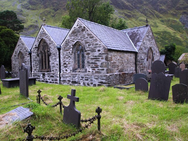
The village of Nant Peris itself is small but welcoming, with a handful of traditional stone houses and a charming sense of community. There are a few local amenities, including a pub and a small shop, providing essentials for both residents and tourists.
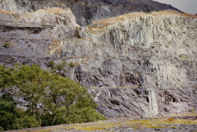
The valley is also home to a number of historic landmarks. The ruins of Dolbadarn Castle, a 13th-century fortress, can be found near the village, offering a glimpse into the region's rich history. Additionally, the National Slate Museum is located in the nearby village of Llanberis, providing visitors with an insight into the area's industrial past.
Overall, Nant Peris is a hidden gem in the heart of Snowdonia, offering a peaceful retreat surrounded by stunning natural landscapes and a wealth of outdoor activities. Whether it's hiking, climbing, or simply soaking up the tranquility of the countryside, Nant Peris is a must-visit destination for anyone seeking a true Welsh experience.
If you have any feedback on the listing, please let us know in the comments section below.
Nant Peris Images
Images are sourced within 2km of 53.106503/-4.0906051 or Grid Reference SH6058. Thanks to Geograph Open Source API. All images are credited.


Nant Peris is located at Grid Ref: SH6058 (Lat: 53.106503, Lng: -4.0906051)
Unitary Authority: Gwynedd
Police Authority: North Wales
Also known as: Old Llanberis
What 3 Words
///quiet.beakers.crumple. Near Llanberis, Gwynedd
Nearby Locations
Related Wikis

Paddy Buckley Round
The Paddy Buckley Round, also known as the Welsh Classical Round, is a long distance fell running challenge in Snowdonia, Wales. The route is a circuit...

Llyn Peris
Llyn Peris is a lake in Snowdonia, Wales, approximately 1.8 km long and situated close to the villages of Llanberis and Nant Peris, and the smaller twin...
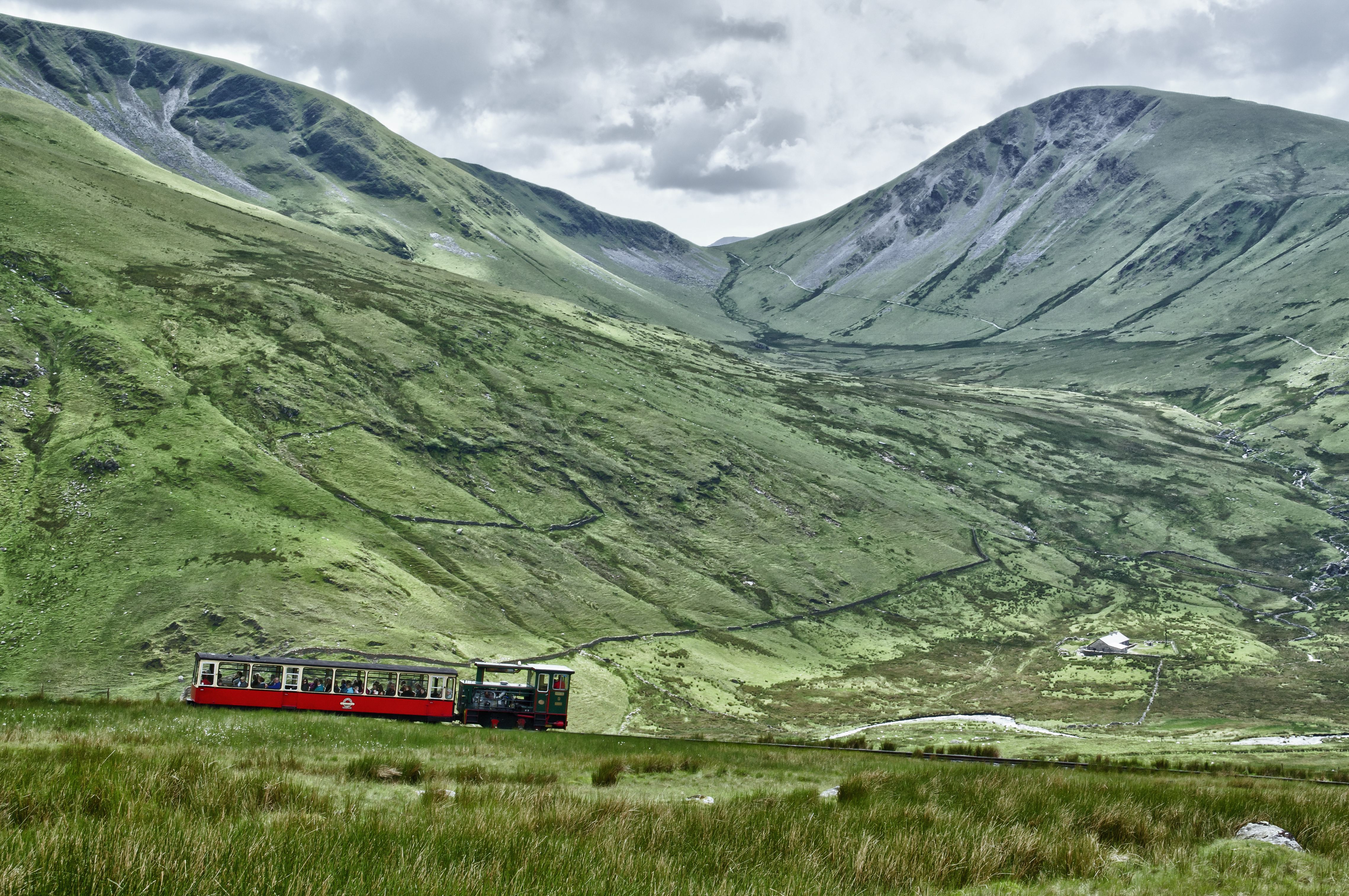
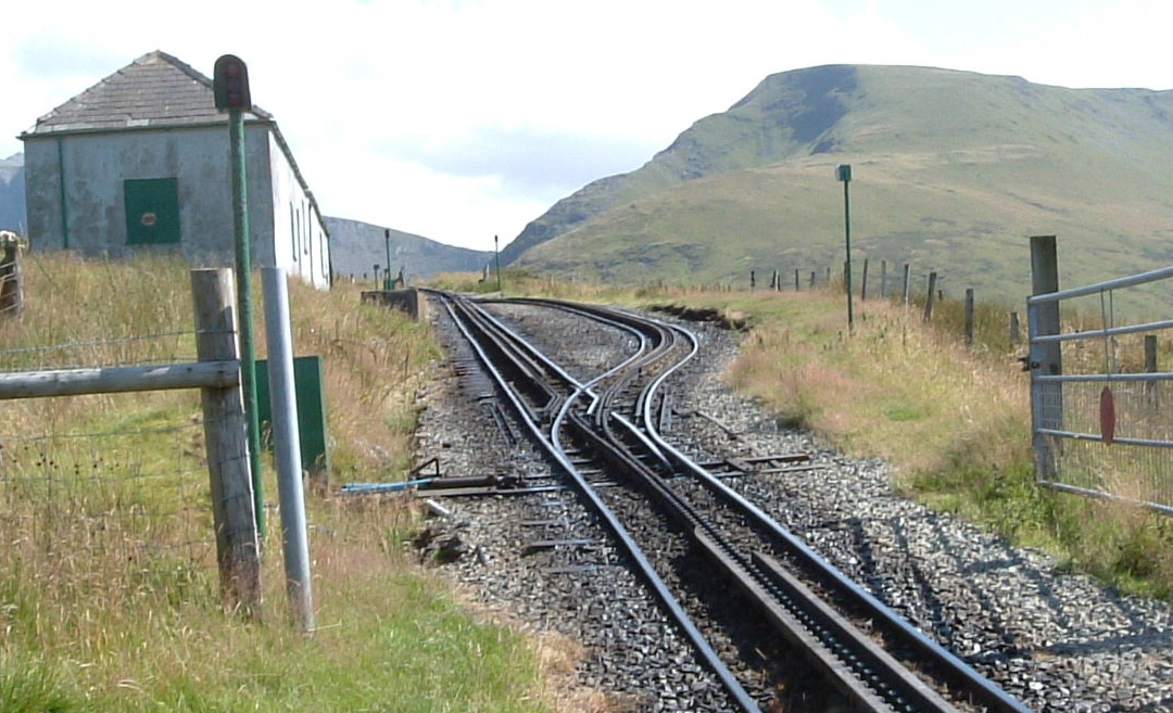
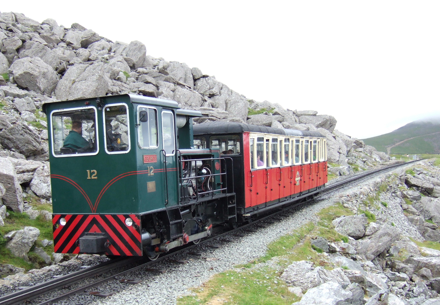
Snowdon Mountain Railway
The Snowdon Mountain Railway (SMR; Welsh: Rheilffordd yr Wyddfa) is a narrow gauge rack and pinion mountain railway in Gwynedd, north-west Wales. It is...
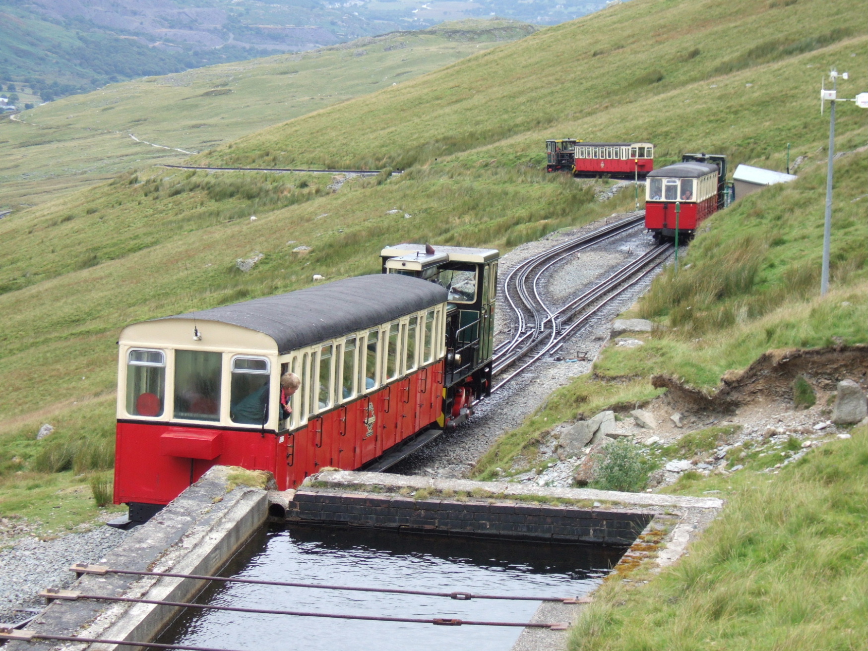
Halfway railway station
Halfway railway station is an intermediate stop on the Snowdon Mountain Railway, halfway along the line and close to the 'Halfway House' cafe on the nearby...
Hebron railway station
/ Hebron railway station is an intermediate passing place and former halt on the Snowdon Mountain Railway, located near a long-standing chapel on the...
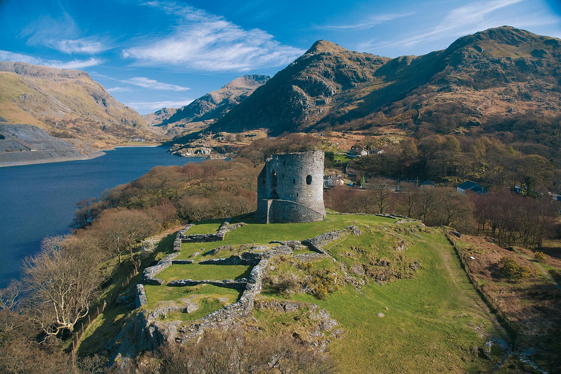
Dolbadarn Castle
Dolbadarn Castle (English: dol-BAD-an; Welsh: Castell Dolbadarn Welsh pronunciation: [kastɛɬ dɔl'badaːn]) is a fortification built by the Welsh prince...
Rocky Valley Halt railway station
Rocky Valley Halt is an intermediate station on the Snowdon Mountain Railway. It consists of a narrow platform sheltered by the rocky outcrop of Llechog...

Dinorwig Power Station
The Dinorwig Power Station (; Welsh: [dɪˈnɔrwɪɡ]), known locally as Electric Mountain, or Mynydd Gwefru, is a pumped-storage hydroelectric scheme, near...
Nearby Amenities
Located within 500m of 53.106503,-4.0906051Have you been to Nant Peris?
Leave your review of Nant Peris below (or comments, questions and feedback).