Nant y Caws
Settlement in Shropshire
England
Nant y Caws

Nant y Caws is a small village located in the county of Shropshire, England. It is nestled in the picturesque countryside, surrounded by rolling hills and lush green fields. The village is situated approximately 10 miles northeast of the county town of Shrewsbury.
Nant y Caws is known for its tranquil and peaceful atmosphere, offering a perfect escape from the hustle and bustle of city life. The village is characterized by its charming traditional cottages and well-maintained gardens, creating a postcard-worthy setting.
Despite its small size, Nant y Caws has a strong sense of community, with friendly and welcoming residents. The village has a local pub, The Nanty Caws Inn, which serves as a social hub for locals and visitors alike. The pub offers a range of traditional British dishes and a selection of locally brewed ales.
The surrounding countryside provides ample opportunities for outdoor activities and exploration. There are several walking and cycling trails that offer breathtaking views of the Shropshire Hills Area of Outstanding Natural Beauty, which is just a short distance away.
For those interested in history and culture, nearby attractions include Attingham Park, a stunning National Trust property with beautiful gardens and a grand mansion, and Shrewsbury Castle, a historic landmark dating back to the 11th century.
In conclusion, Nant y Caws is a charming and peaceful village in Shropshire, offering a tranquil retreat with stunning natural surroundings and a strong sense of community.
If you have any feedback on the listing, please let us know in the comments section below.
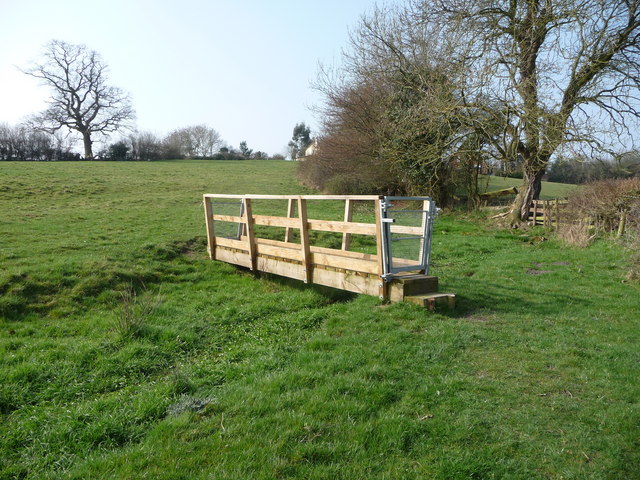
Nant y Caws Images
Images are sourced within 2km of 52.834472/-3.062962 or Grid Reference SJ2826. Thanks to Geograph Open Source API. All images are credited.


Nant y Caws is located at Grid Ref: SJ2826 (Lat: 52.834472, Lng: -3.062962)
Unitary Authority: Shropshire
Police Authority: West Mercia
What 3 Words
///overheat.ivory.squares. Near Oswestry, Shropshire
Nearby Locations
Related Wikis
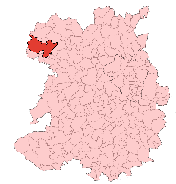
Oswestry Rural
Oswestry Rural is a geographically large civil parish located in Shropshire, England. It is situated south of Oswestry itself, and extends from the border...

Morda Tramway
The Morda Tramway refers to two industrial railways south of Oswestry, on the border between England and Wales. They connected the coal pits around Morda...

Weston Wharf railway station
Weston Wharf is a railway station on the Cambrian Heritage Railways' line in Shropshire on the former Oswestry and Newtown Railway. It is located just...

Morda Road
Morda Road is a cricket ground in Oswestry, Shropshire. The first recorded match on the ground was in 1964, when Shropshire played their first Minor Counties...
Nearby Amenities
Located within 500m of 52.834472,-3.062962Have you been to Nant y Caws?
Leave your review of Nant y Caws below (or comments, questions and feedback).