Nant Alyn
Settlement in Flintshire
Wales
Nant Alyn
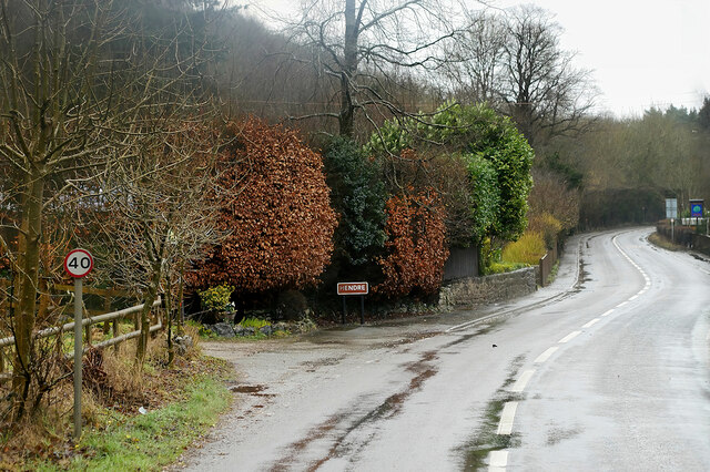
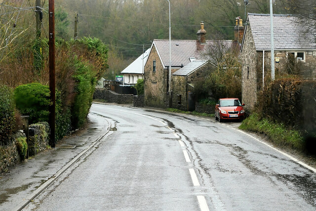
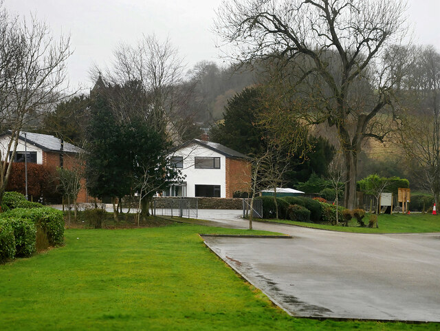
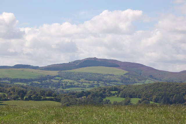
Nant Alyn is a picturesque village located in the county of Flintshire, in northeast Wales. Situated near the A541 road, it is nestled in the Clwydian Range Area of Outstanding Natural Beauty, surrounded by rolling hills and stunning landscapes. The village is approximately 4 miles south of the town of Mold, making it easily accessible for both residents and visitors.
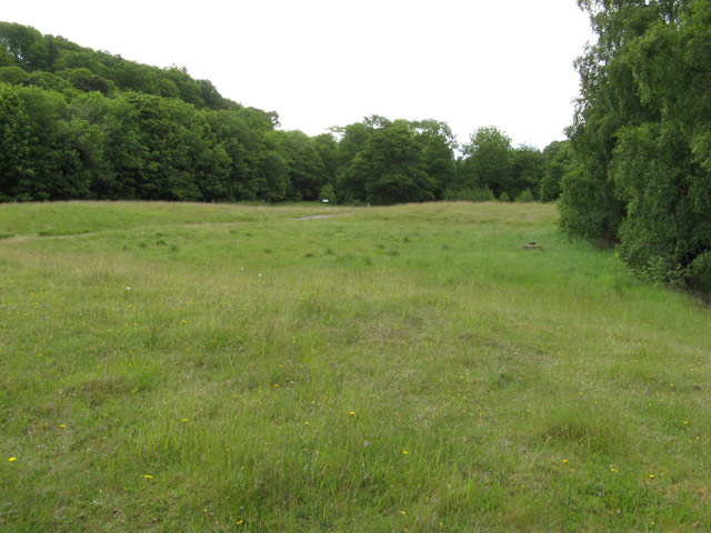
Nant Alyn is known for its tranquility and natural beauty. The village is named after the nearby river, the Alyn, which flows through its heart, providing a serene and idyllic backdrop. The river is popular among anglers, who come to enjoy the peacefulness and to catch salmon and trout. The surrounding countryside offers numerous walking and hiking trails, appealing to outdoor enthusiasts and nature lovers.
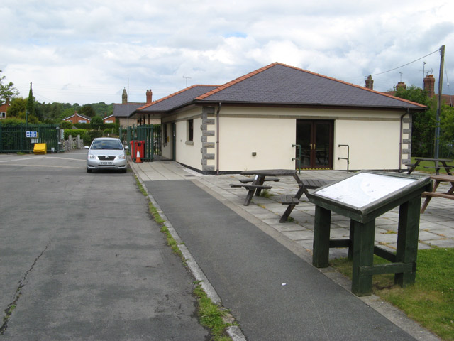
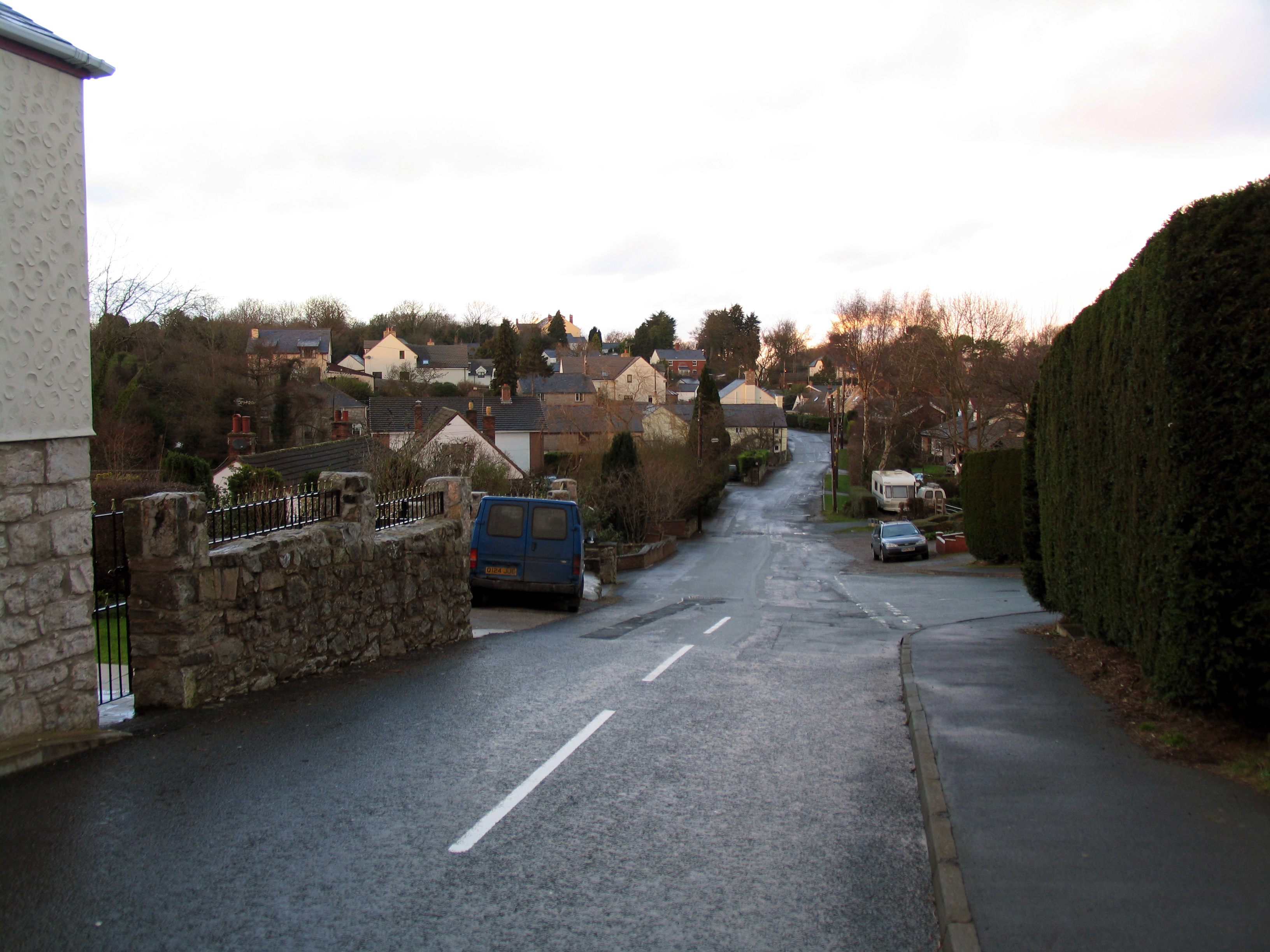
The village itself is small but charming, with a close-knit community that takes pride in maintaining its rural character. Traditional stone cottages and farmhouses dot the landscape, adding to the village's charm. While there are limited amenities within Nant Alyn, residents can find essential services and shops in nearby Mold.
Nant Alyn is a haven for those seeking a peaceful rural lifestyle, away from the hustle and bustle of larger towns and cities. Its natural surroundings and strong sense of community make it an attractive place to live for those who appreciate the beauty of the Welsh countryside.
If you have any feedback on the listing, please let us know in the comments section below.
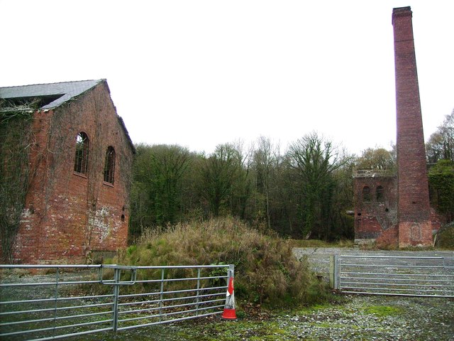
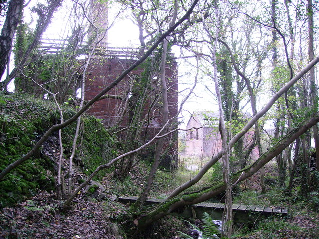
Nant Alyn Images
Images are sourced within 2km of 53.189929/-3.203624 or Grid Reference SJ1966. Thanks to Geograph Open Source API. All images are credited.


Nant Alyn is located at Grid Ref: SJ1966 (Lat: 53.189929, Lng: -3.203624)
Unitary Authority: Flintshire
Police Authority: North Wales
What 3 Words
///letter.surcharge.smirking. Near Halkyn, Flintshire
Nearby Locations
Related Wikis

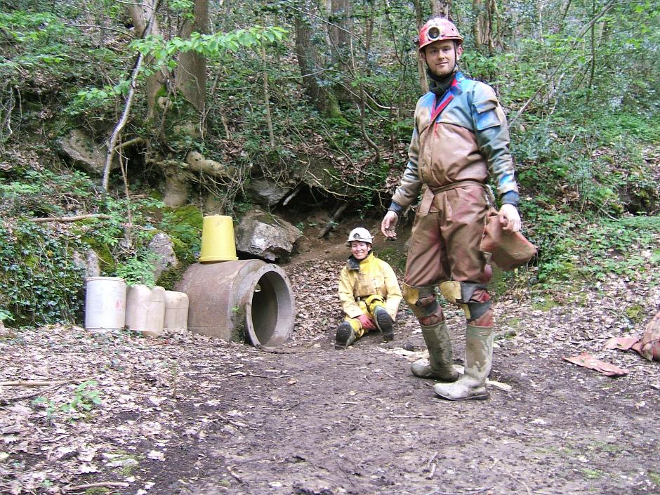
Ogof Hesp Alyn
Ogof Hesp Alyn (Welsh for: Dry Alyn Cave) was discovered by North Wales Caving Club in 1973 in the Alyn Gorge near Cilcain, Flintshire, Wales. Reaching...
Rhydymwyn F.C.
Rhydymwyn F.C. is a football club from Rhydymwyn, Wales. They play in the North East Wales Football League in the tier five Championship Division. Their...

Rhydymwyn railway station
Rhydymwyn railway station was a station in Rhydymwyn, Flintshire, Wales. The station was opened on 6 September 1869, closed to passengers on 30 April 1962...
M. S. Factory, Valley
The M.S. (Ministry of Supply) Factory, Valley was a Second World War site in Rhydymwyn, Flintshire, Wales, that was used for the storage and production...
Ogof Hen Ffynhonnau
Ogof Hen Ffynhonnau (sometimes known in English as Poacher's Cave) lies in the Alyn Gorge in Flintshire, Wales close to Ogof Hesp Alyn. It was discovered...
Ogof Nadolig
Ogof Nadolig is a cave in the Alyn Gorge near Cilcain, Flintshire, Wales. It is mostly crawling, 300 metres (980 ft) long, and ends with a shaft up to...
Rhydymwyn
Rhydymwyn (Welsh for 'Ford of the Ore') is a village in Flintshire, Wales, located in the upper Alyn valley. Once a district of Mold, it was recognised...
Pantymwyn
Pantymwyn is a small village just outside Mold in Flintshire, Wales, in the community of Gwernaffield with Pantymwyn. The village is located within the...
Nearby Amenities
Located within 500m of 53.189929,-3.203624Have you been to Nant Alyn?
Leave your review of Nant Alyn below (or comments, questions and feedback).