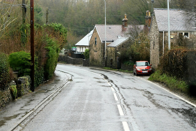
Coed Du
Wood, Forest in Flintshire
Wales
Coed Du
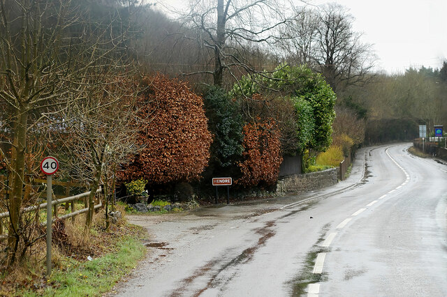
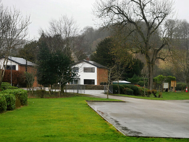
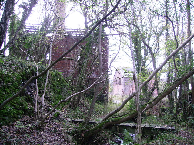
Coed Du is a small woodland area located in Flintshire, Wales. Spanning approximately 25 acres, it is nestled amidst the picturesque countryside of this historic county. The name "Coed Du" translates to "Black Wood" in English, which is derived from the dark shade of the trees that dominate the area.
This woodland is a haven for nature lovers and outdoor enthusiasts, offering a tranquil escape from the hustle and bustle of everyday life. It is primarily composed of native deciduous trees, including oak, beech, and birch, which create a dense canopy overhead, allowing only dappled sunlight to filter through to the forest floor.
The woodland is home to a diverse range of flora and fauna, with a rich biodiversity that thrives within its borders. Visitors may encounter various species of wildflowers, mushrooms, and mosses, adding vibrant colors and textures to the forest landscape. Birdwatchers will delight in the opportunity to spot native avian species, such as woodpeckers and owls, while lucky visitors may even catch a glimpse of elusive woodland mammals like foxes or badgers.
Coed Du is a popular destination for leisurely walks, hiking, and picnics. It offers a network of well-maintained footpaths that wind through the woods, allowing visitors to explore its natural beauty at their own pace. The tranquility of the surroundings, punctuated only by the sounds of rustling leaves and birdsong, creates a serene atmosphere that promotes relaxation and rejuvenation.
Overall, Coed Du is a charming woodland retreat that offers a peaceful escape into nature. Its natural beauty, diverse wildlife, and well-maintained trails make it a beloved destination for locals and tourists alike.
If you have any feedback on the listing, please let us know in the comments section below.
Coed Du Images
Images are sourced within 2km of 53.189299/-3.2110727 or Grid Reference SJ1966. Thanks to Geograph Open Source API. All images are credited.


Coed Du is located at Grid Ref: SJ1966 (Lat: 53.189299, Lng: -3.2110727)
Unitary Authority: Flintshire
Police Authority: North Wales
What 3 Words
///popular.connector.shiny. Near Halkyn, Flintshire
Nearby Locations
Related Wikis

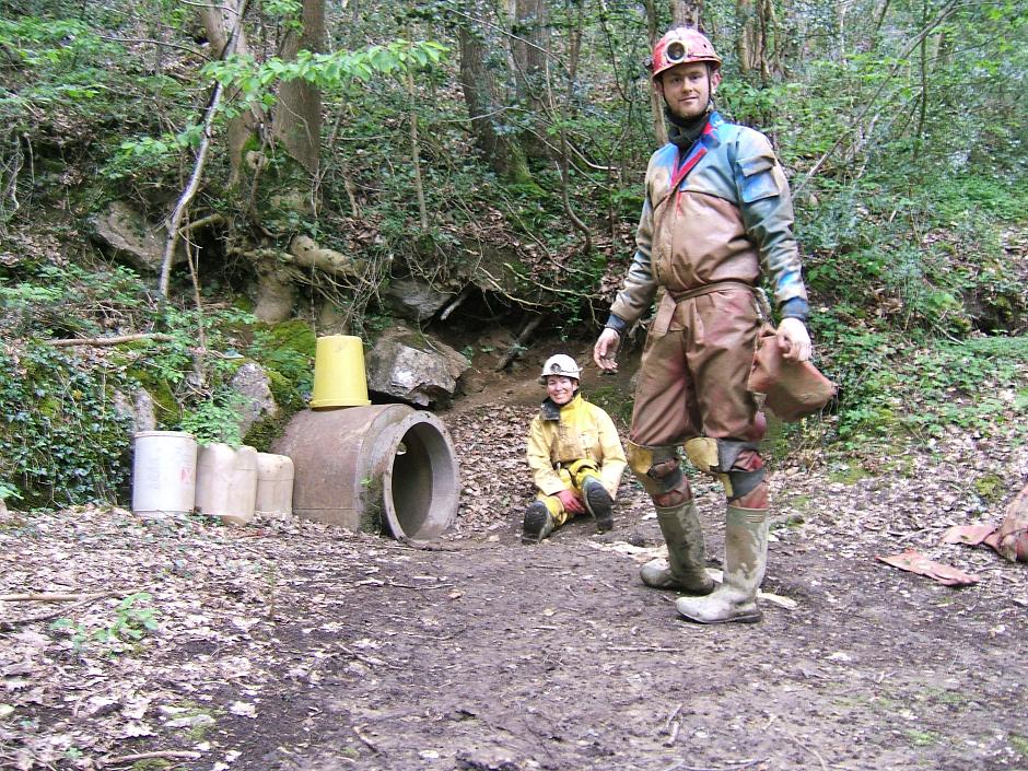
Ogof Hesp Alyn
Ogof Hesp Alyn (Welsh for: Dry Alyn Cave) was discovered by North Wales Caving Club in 1973 in the Alyn Gorge near Cilcain, Flintshire, Wales. Reaching...
Ogof Hen Ffynhonnau
Ogof Hen Ffynhonnau (sometimes known in English as Poacher's Cave) lies in the Alyn Gorge in Flintshire, Wales close to Ogof Hesp Alyn. It was discovered...
Ogof Nadolig
Ogof Nadolig is a cave in the Alyn Gorge near Cilcain, Flintshire, Wales. It is mostly crawling, 300 metres (980 ft) long, and ends with a shaft up to...
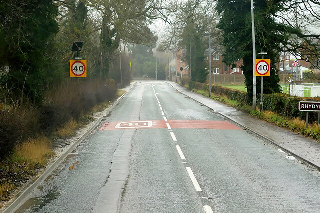
Rhydymwyn F.C.
Rhydymwyn F.C. is a football club from Rhydymwyn, Wales. They play in the North East Wales Football League in the tier five Championship Division. Their...

Rhydymwyn railway station
Rhydymwyn railway station was a station in Rhydymwyn, Flintshire, Wales. The station was opened on 6 September 1869, closed to passengers on 30 April 1962...
M. S. Factory, Valley
The M.S. (Ministry of Supply) Factory, Valley was a Second World War site in Rhydymwyn, Flintshire, Wales, that was used for the storage and production...
Rhydymwyn
Rhydymwyn (Welsh for 'Ford of the Ore') is a village in Flintshire, Wales, located in the upper Alyn valley. Once a district of Mold, it was recognised...
Cilcain Hall
Cilcain Hall is a country house 2 miles (3 km) north-northeast of the village of Cilcain, Flintshire, Wales (grid reference SJ185683). It was built in...
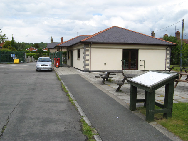
Nearby Amenities
Located within 500m of 53.189299,-3.2110727Have you been to Coed Du?
Leave your review of Coed Du below (or comments, questions and feedback).