Benllech
Settlement in Anglesey
Wales
Benllech
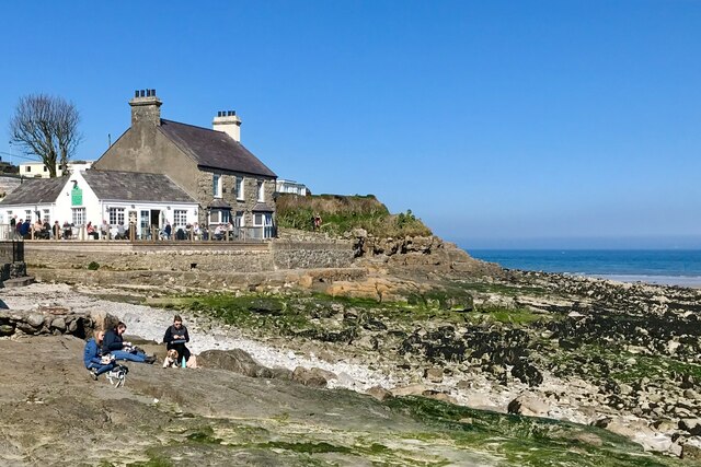
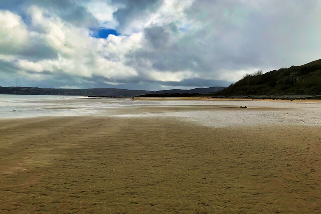
Benllech is a small coastal village located on the eastern coast of the Isle of Anglesey in North Wales. Situated approximately 7 miles east of the town of Llangefni, Benllech is a popular holiday destination known for its picturesque sandy beach and stunning views of the Irish Sea.
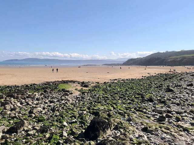
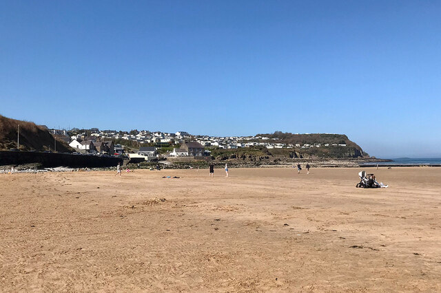
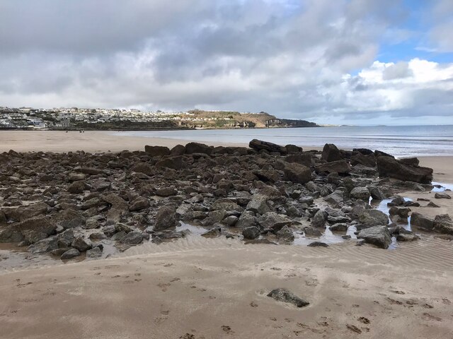
The village itself is relatively small, with a population of around 3,000 residents. It offers a range of amenities including shops, cafes, pubs, and restaurants, making it a convenient place for both locals and tourists. The beach at Benllech is the main attraction, stretching for over a mile and providing ample space for sunbathing, swimming, and water sports.
The area surrounding Benllech is rich in natural beauty, with the rugged coastline and rolling hills of Anglesey offering fantastic opportunities for hiking, cycling, and exploring. Close by is the stunning Red Wharf Bay, an area of outstanding natural beauty that is renowned for its birdlife and serene landscapes.
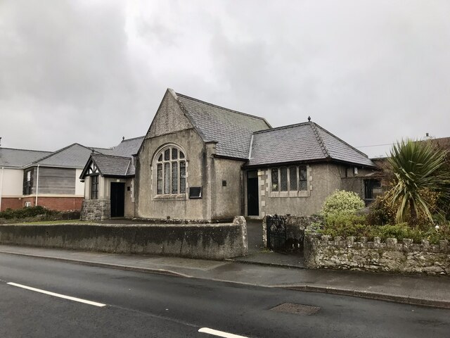
Benllech also boasts a rich history, with evidence of ancient settlements and a medieval church still standing in the village. For those interested in the local heritage, there are several historical sites to visit, including the Neolithic burial chamber of Bryn Celli Ddu and the 13th-century Beaumaris Castle.
Overall, Benllech is a charming coastal village that offers a peaceful and idyllic setting for a relaxing holiday.
If you have any feedback on the listing, please let us know in the comments section below.
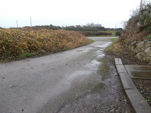
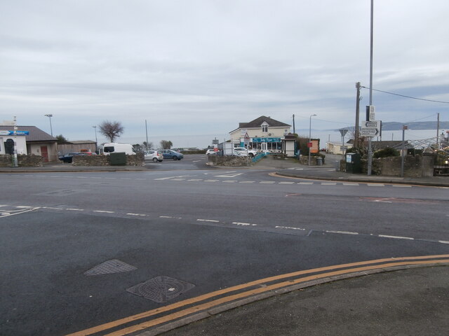
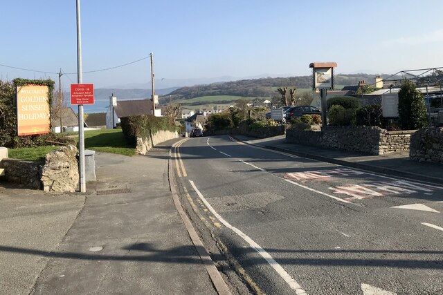
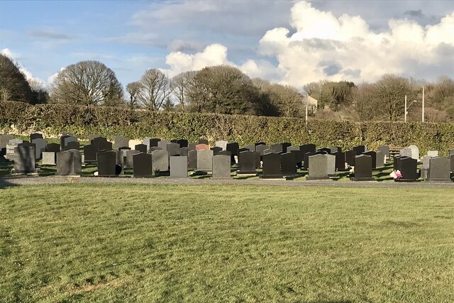
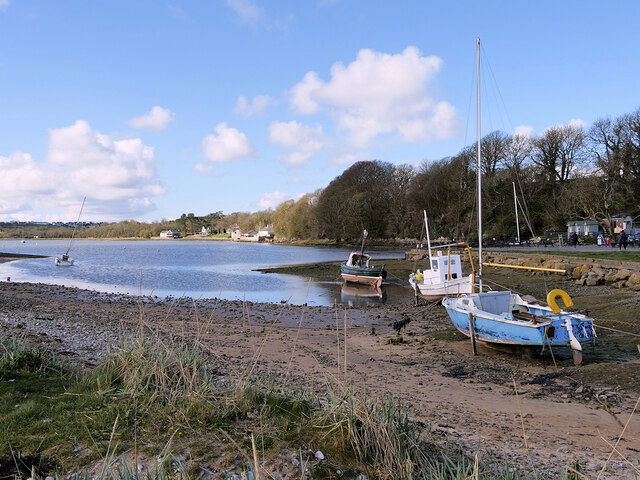
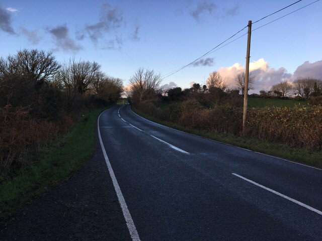
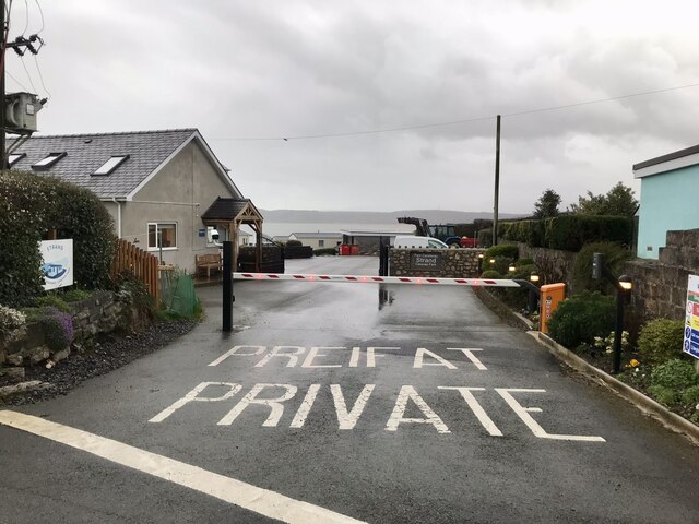
Benllech Images
Images are sourced within 2km of 53.315296/-4.221196 or Grid Reference SH5282. Thanks to Geograph Open Source API. All images are credited.


Benllech is located at Grid Ref: SH5282 (Lat: 53.315296, Lng: -4.221196)
Unitary Authority: Isle of Anglesey
Police Authority: North Wales
What 3 Words
///bulge.pulsing.knots. Near Benllech, Isle of Anglesey
Nearby Locations
Related Wikis

Benllech
Benllech (; Welsh: [’bɛn ɬaχ]) is a large village on the Isle of Anglesey in Wales. It is in the community of Llanfair-Mathafarn-Eithaf, which has a population...
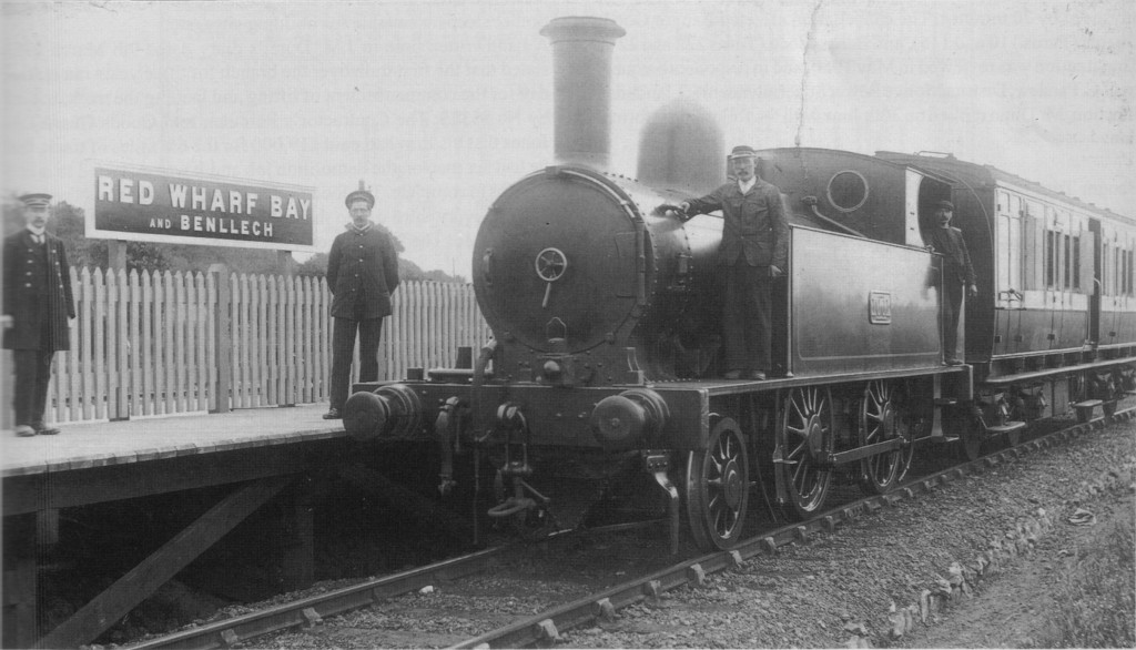
Red Wharf Bay and Benllech railway station
Red Wharf Bay and Benllech railway station was the terminus station of the Red Wharf Bay branch line, which ran between Holland Arms and Benllech, off...

Llanfair-Mathafarn-Eithaf
Llanfair-Mathafarn-Eithaf (Welsh pronunciation: [ɬanvairˌmaθavanˌaːiθav]) is a parish and community in Anglesey, Wales including the small seaside town...

Tyn-y-Gongl
Tyn-y-Gongl or Ty'n-y-gongl is a village and post town, just west of the town of Benllech and east of Brynteg, on the island of Anglesey (Welsh: Ynys Môn...

Castell Mawr Rock
Castell Mawr (known in English as Castle Rock) is a large limestone rock that dominates the western shore of Red Wharf Bay in Anglesey, north Wales. It...
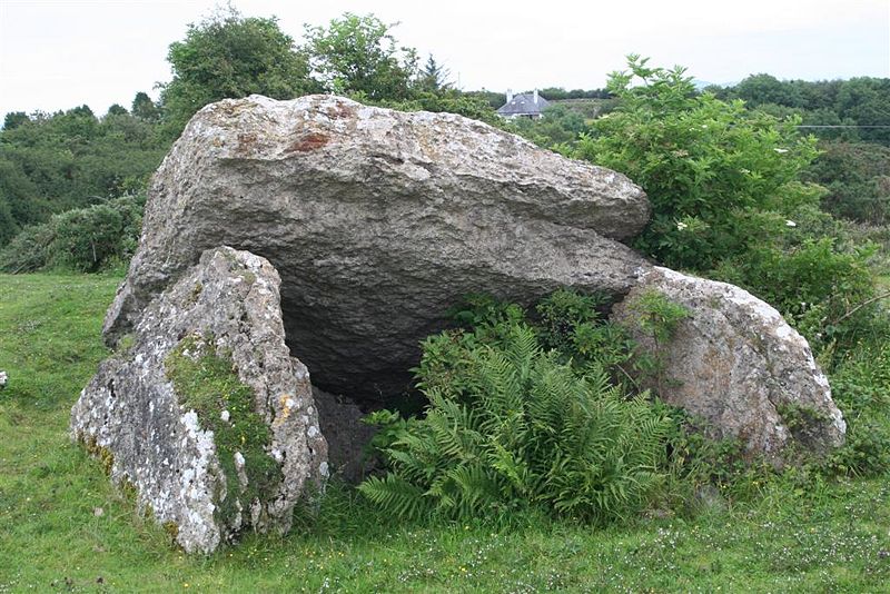
Pant-y-Saer Burial Chamber
Pant-y-Saer is a Neolithic dolmen near the small town of Benllech in Anglesey, Wales. This burial chamber is partially collapsed with the massive capstone...

Red Wharf Bay branch line
The Red Wharf Bay branch line was a standard gauge railway line in Anglesey, Wales, a branch off the Anglesey Central Railway. It opened fully in 1909...

St Mary's Church, Llanfair Mathafarn Eithaf
St Mary's Church, Llanfair Mathafarn Eithaf is a small medieval church in Anglesey, north Wales. The earliest parts of the building, including the nave...
Nearby Amenities
Located within 500m of 53.315296,-4.221196Have you been to Benllech?
Leave your review of Benllech below (or comments, questions and feedback).