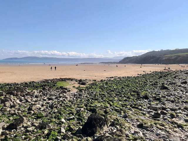
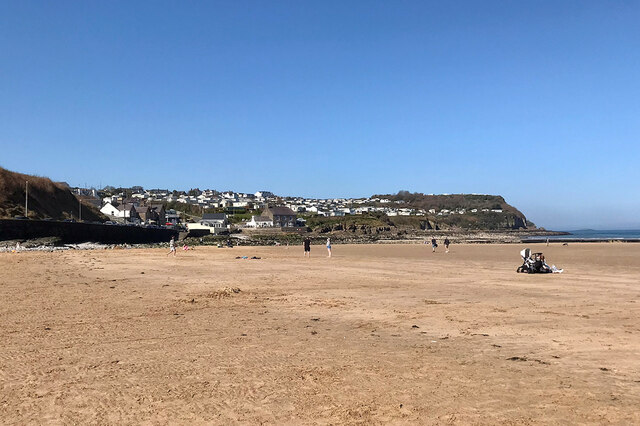
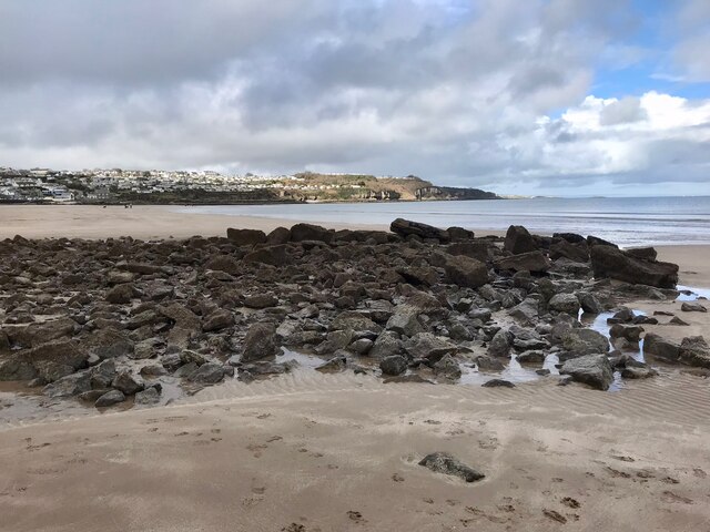
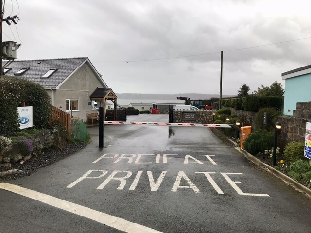
Benllech Sand
Beach in Anglesey
Wales
Benllech Sand
The requested URL returned error: 429 Too Many Requests
If you have any feedback on the listing, please let us know in the comments section below.
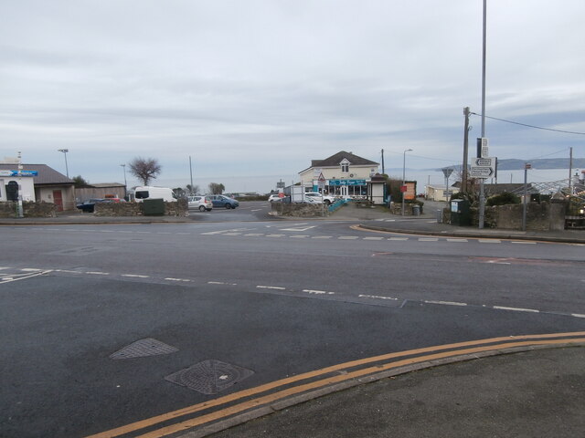
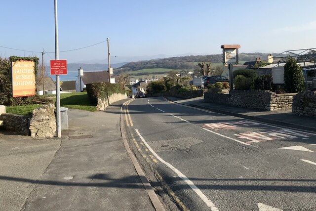
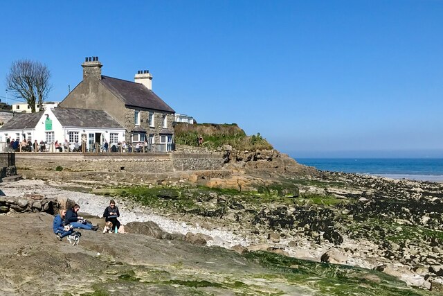
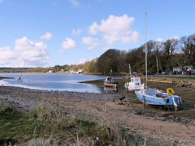
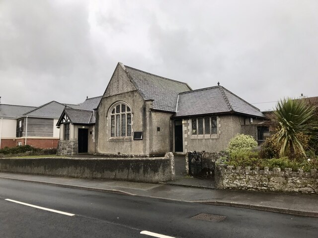
Benllech Sand Images
Images are sourced within 2km of 53.319063/-4.2157385 or Grid Reference SH5282. Thanks to Geograph Open Source API. All images are credited.


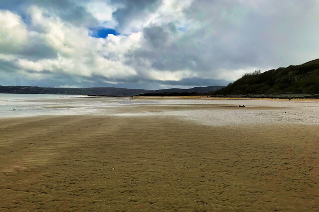


Benllech Sand is located at Grid Ref: SH5282 (Lat: 53.319063, Lng: -4.2157385)
Unitary Authority: Isle of Anglesey
Police Authority: North Wales
Also known as: Traeth Benllech
What 3 Words
///clarifies.tortoises.travel. Near Benllech, Isle of Anglesey
Nearby Locations
Related Wikis

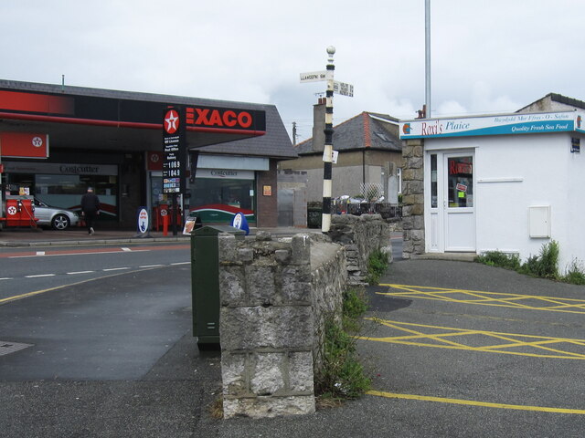
Benllech
Benllech (Welsh: [ˈbɛnɬɛχ]) is a large village on the Isle of Anglesey in Wales. It is in the community of Llanfair-Mathafarn-Eithaf, which has a population...

Castell Mawr Rock
Castell Mawr is a large limestone rock that dominates the western shore of Red Wharf Bay in Anglesey, north Wales. It was probably once the site of an...
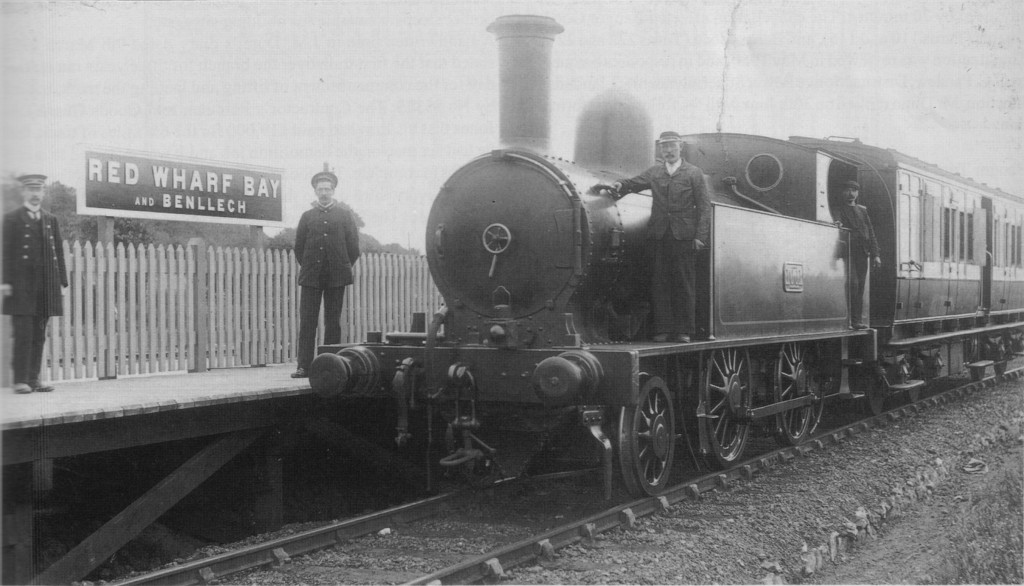
Red Wharf Bay and Benllech railway station
Red Wharf Bay and Benllech railway station was the terminus station of the Red Wharf Bay branch line, which ran between Holland Arms and Benllech, off...

Tyn-y-Gongl
Tyn-y-Gongl or Ty'n-y-gongl is a village and post town, just west of the town of Benllech and east of Brynteg, on the island of Anglesey (Welsh: Ynys Môn...
Nearby Amenities
Located within 500m of 53.319063,-4.2157385Have you been to Benllech Sand?
Leave your review of Benllech Sand below (or comments, questions and feedback).