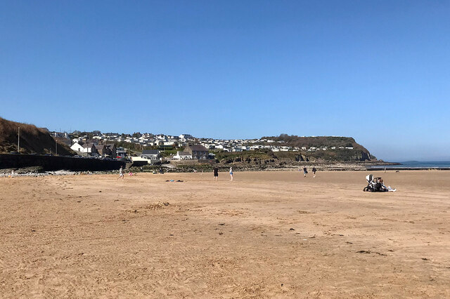
Traeth Benllech
Beach in Anglesey
Wales
Traeth Benllech
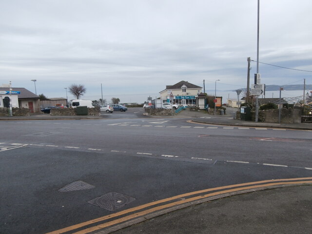
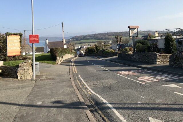
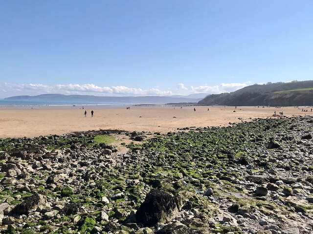
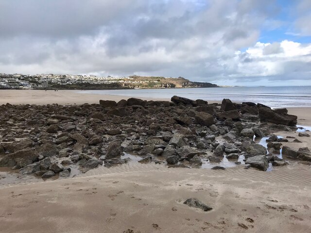
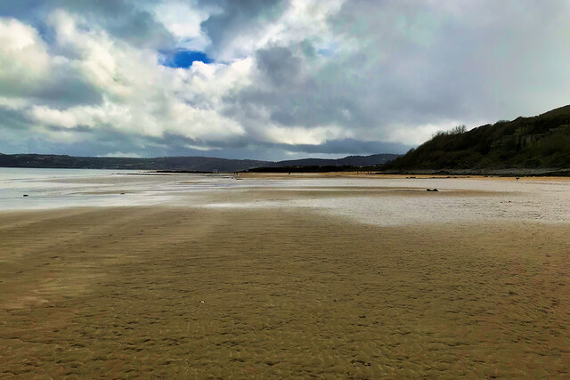
Traeth Benllech, located on the Isle of Anglesey in Wales, is a picturesque beach renowned for its natural beauty and family-friendly atmosphere. Situated on the eastern coast of the island, Traeth Benllech stretches for approximately 1.5 kilometers, offering visitors a long strip of golden sand to relax and unwind.
The beach boasts crystal-clear waters, making it an ideal spot for swimming and paddling. The gently sloping shoreline is perfect for families with young children, as the shallow waters provide a safe environment for little ones to enjoy the sea. Lifeguards are also present during the summer months, ensuring the safety of all beachgoers.
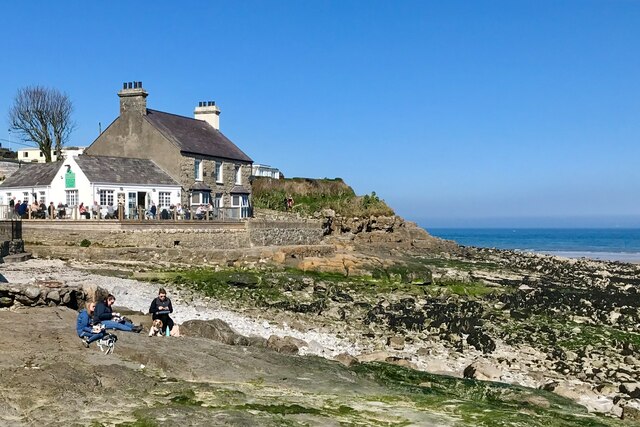
Surrounded by stunning coastal scenery, Traeth Benllech is a popular destination for nature lovers and walkers. The beach is backed by a promenade that runs the length of the shoreline, providing a pleasant walk with breathtaking views of the Irish Sea. The nearby headlands offer additional walking opportunities, with well-maintained paths leading to scenic viewpoints.
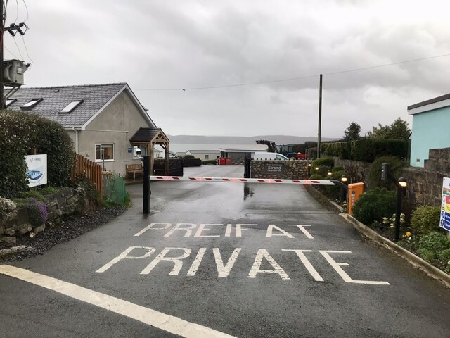
Facilities at Traeth Benllech include ample parking, making it easily accessible for visitors. There are also public toilets and a range of shops and cafes nearby, providing essential amenities for a day at the beach. The beach is dog-friendly, allowing pet owners to enjoy the beauty of Traeth Benllech with their furry friends.
Whether you're looking for a relaxing day on the sand, a refreshing swim, or a scenic coastal walk, Traeth Benllech offers something for everyone. Its natural beauty, family-friendly environment, and convenient facilities make it a must-visit beach on the Isle of Anglesey.
If you have any feedback on the listing, please let us know in the comments section below.
Traeth Benllech Images
Images are sourced within 2km of 53.319063/-4.2157385 or Grid Reference SH5282. Thanks to Geograph Open Source API. All images are credited.


Traeth Benllech is located at Grid Ref: SH5282 (Lat: 53.319063, Lng: -4.2157385)
Unitary Authority: Isle of Anglesey
Police Authority: North Wales
Also known as: Benllech Sand
What 3 Words
///clarifies.tortoises.travel. Near Benllech, Isle of Anglesey
Nearby Locations
Related Wikis

Benllech
Benllech (; Welsh: [’bɛn ɬaχ]) is a large village on the Isle of Anglesey in Wales. It is in the community of Llanfair-Mathafarn-Eithaf, which has a population...

Castell Mawr Rock
Castell Mawr (known in English as Castle Rock) is a large limestone rock that dominates the western shore of Red Wharf Bay in Anglesey, north Wales. It...
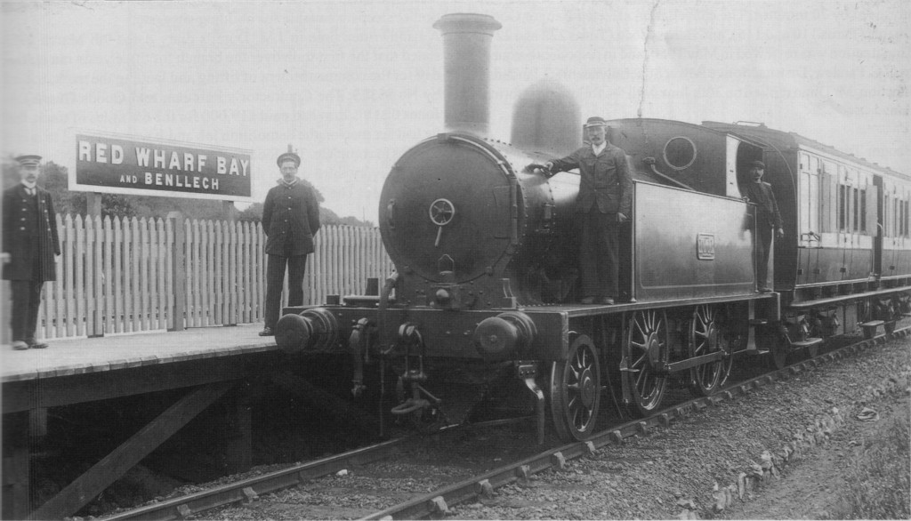
Red Wharf Bay and Benllech railway station
Red Wharf Bay and Benllech railway station was the terminus station of the Red Wharf Bay branch line, which ran between Holland Arms and Benllech, off...

Tyn-y-Gongl
Tyn-y-Gongl or Ty'n-y-gongl is a village and post town, just west of the town of Benllech and east of Brynteg, on the island of Anglesey (Welsh: Ynys Môn...

Red Wharf Bay branch line
The Red Wharf Bay branch line was a standard gauge railway line in Anglesey, Wales, a branch off the Anglesey Central Railway. It opened fully in 1909...

Llanfair-Mathafarn-Eithaf
Llanfair-Mathafarn-Eithaf (Welsh pronunciation: [ɬanvairˌmaθavanˌaːiθav]) is a parish and community in Anglesey, Wales including the small seaside town...
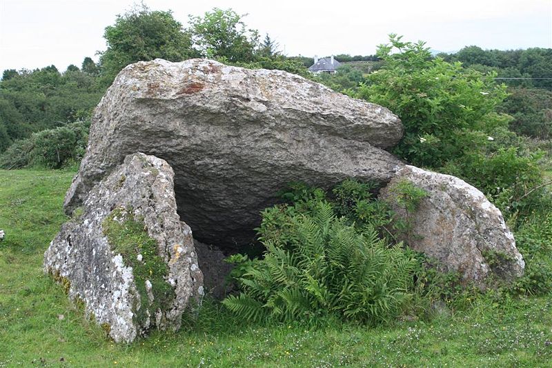
Pant-y-Saer Burial Chamber
Pant-y-Saer is a Neolithic dolmen near the small town of Benllech in Anglesey, Wales. This burial chamber is partially collapsed with the massive capstone...

St Mary's Church, Llanfair Mathafarn Eithaf
St Mary's Church, Llanfair Mathafarn Eithaf is a small medieval church in Anglesey, north Wales. The earliest parts of the building, including the nave...
Nearby Amenities
Located within 500m of 53.319063,-4.2157385Have you been to Traeth Benllech?
Leave your review of Traeth Benllech below (or comments, questions and feedback).