Benington Sea End

Settlement in Lincolnshire Boston

England

Benington Sea End

Lane leading to north carpark, Freiston Shore Access to the north carpark of the Freiston Shore managed realignment site, including public footpath access. This photo was taken on the Victorian sea wall, and shows the 1970s wall in the distance.
Lane leading to north carpark, Freiston Shore Credit: Dan Friess

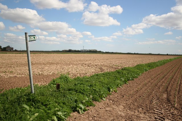
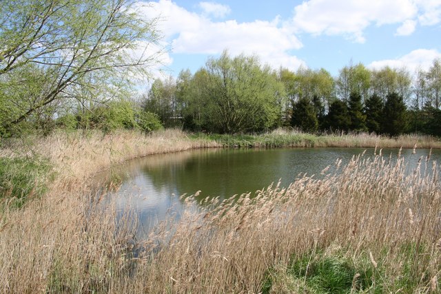
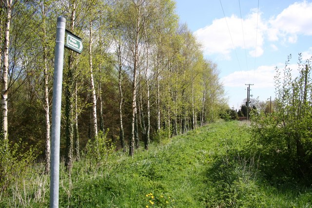
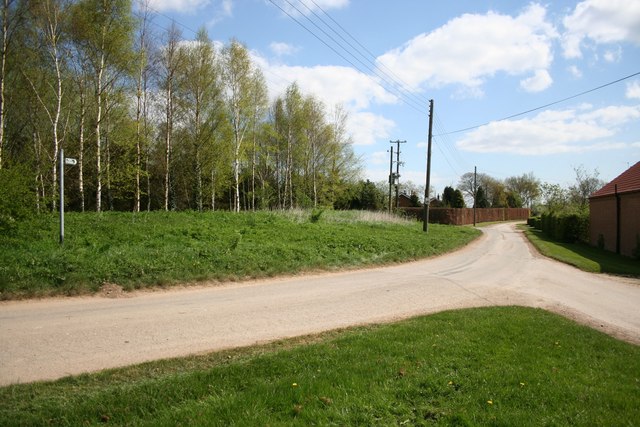
Benington Sea End is a small village located in Lincolnshire, England. Situated on the east coast of the country, it is part of the Borough of Boston. The village is surrounded by picturesque countryside, offering residents and visitors a tranquil and scenic environment.

With a population of around 500 people, Benington Sea End is a close-knit community with a friendly and welcoming atmosphere. The village boasts a range of amenities, including a primary school, a local pub, and a village hall. These facilities contribute to the strong sense of community and provide opportunities for social interaction and engagement.

One of the highlights of Benington Sea End is its proximity to the coast. The village is just a short distance from the North Sea, making it an attractive destination for those seeking beachside activities. The nearby coastal areas offer stunning views and opportunities for coastal walks and birdwatching.

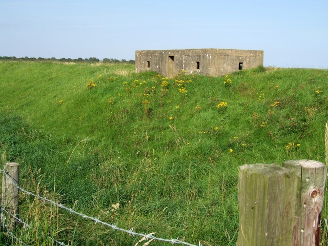
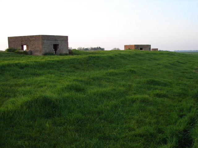
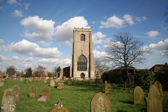
For history enthusiasts, Benington Sea End is home to a notable landmark - Benington Castle. This medieval fortification, located on the outskirts of the village, dates back to the 14th century and provides an insight into the region's rich history.

Overall, Benington Sea End is a charming village that combines natural beauty, community spirit, and historical significance. It offers a peaceful and idyllic setting for residents and visitors alike, with its close proximity to the coast and range of amenities making it an attractive place to live and explore.

If you have any feedback on the listing, please let us know in the comments section below.

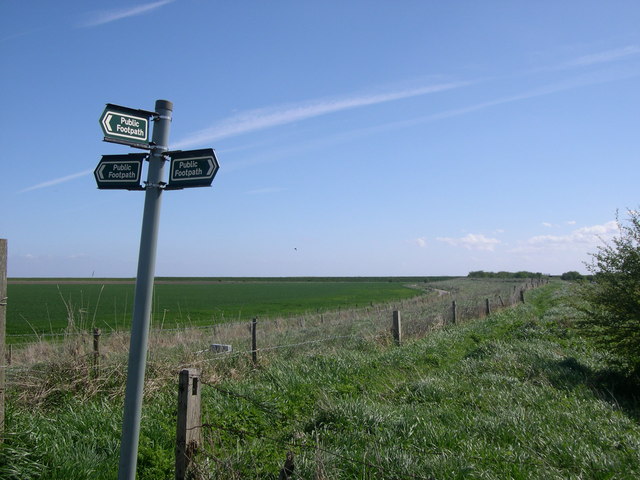
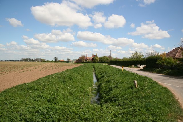
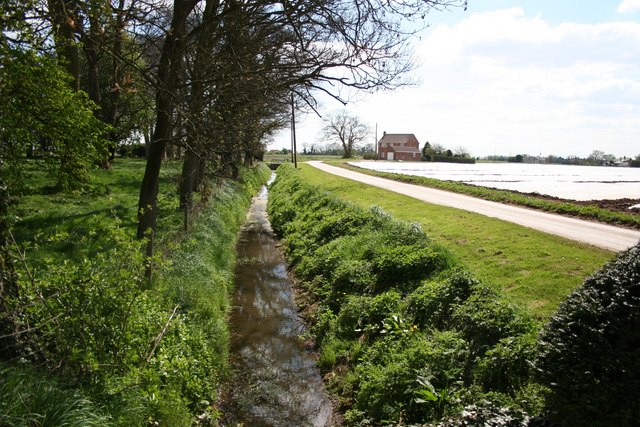
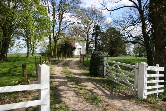
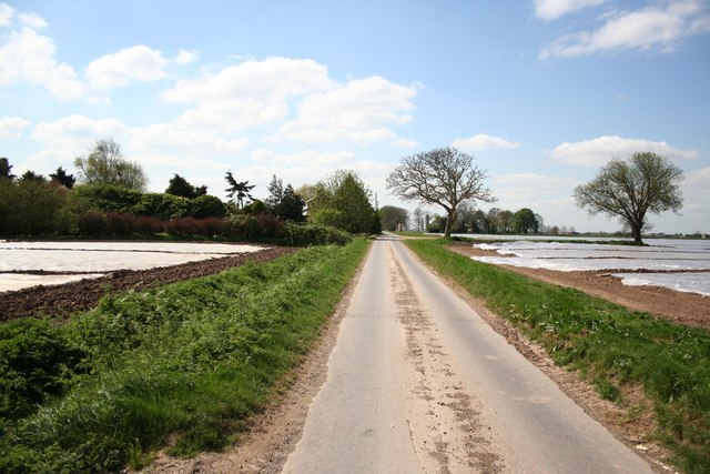
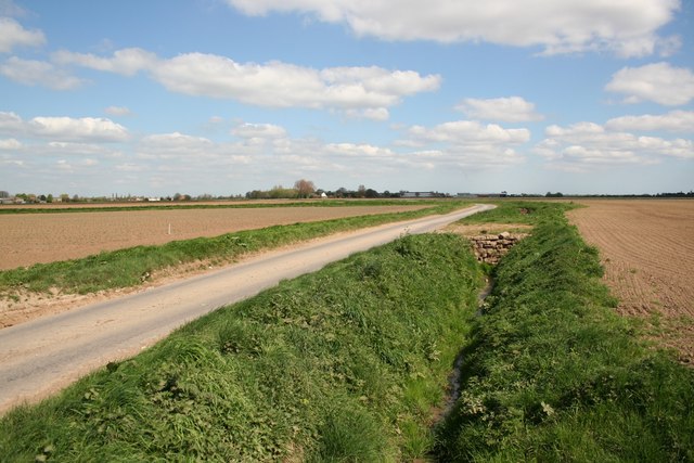
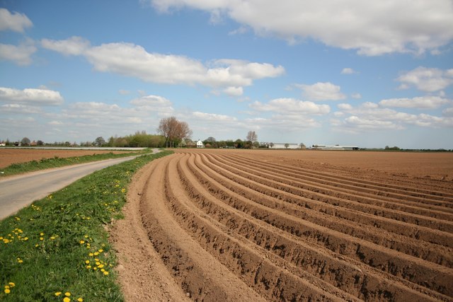
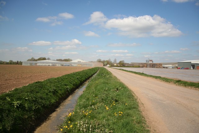
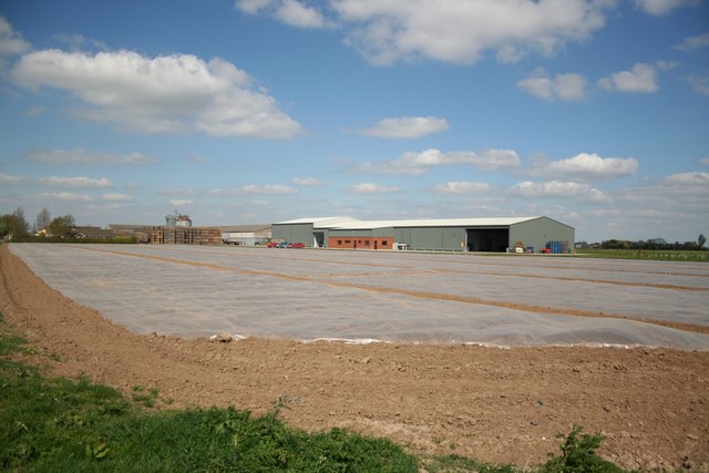
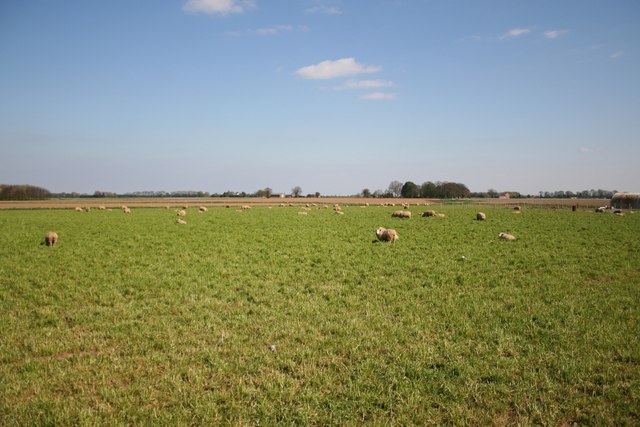
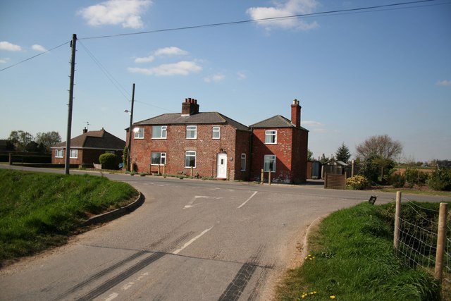
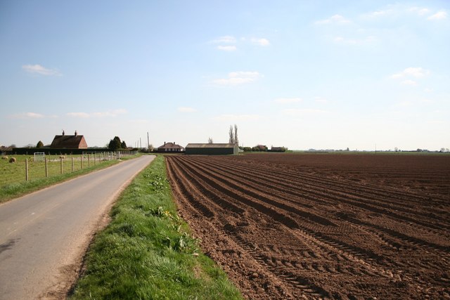
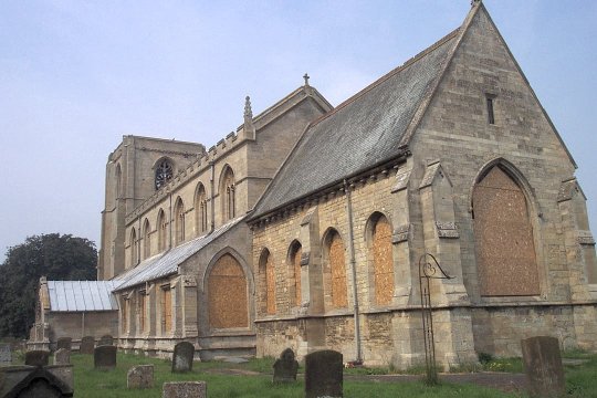
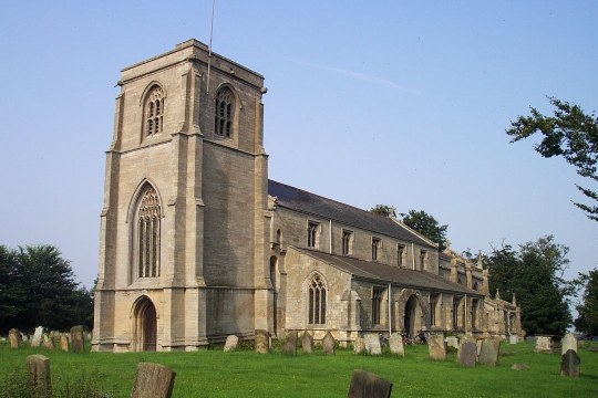
Benington Sea End Images

Images are sourced within 2km of 52.990164/0.098448 or Grid Reference TF4045. Thanks to Geograph Open Source API. All images are credited.

Lane leading to north carpark, Freiston Shore Access to the north carpark of the Freiston Shore managed realignment site, including public footpath access. This photo was taken on the Victorian sea wall, and shows the 1970s wall in the distance.
Lane leading to north carpark, Freiston Shore
Access to the north carpark of the Freiston Shore managed realignment site, including public footpath access. This photo was taken on the Victorian sea wall, and shows the 1970s wall in the distance.
Benington Sea End Looking north from the junction with Crowhall Lane
Benington Sea End
Looking north from the junction with Crowhall Lane
Churchway Churchway and dyke by the Old Rectory at Benington Sea End
Churchway
Churchway and dyke by the Old Rectory at Benington Sea End
The Old Rectory At Benington Sea End
The Old Rectory
At Benington Sea End
Footpath at Benington Sea End
Glebe Farm pond Tranquil farm pond at Benington Sea End
Glebe Farm pond
Tranquil farm pond at Benington Sea End
Sea Bank footpath Footpath along the medieval Sea Bank flood defences from Grange Farm
Sea Bank footpath
Footpath along the medieval Sea Bank flood defences from Grange Farm
Sea Lane Sea Lane from Glebe Farm at Benington Sea End
Sea Lane
Sea Lane from Glebe Farm at Benington Sea End
Spicer's Lane Looking south near Glebe Farm on Spicer's Lane at Benington Sea End
Spicer's Lane
Looking south near Glebe Farm on Spicer's Lane at Benington Sea End
Spicer's Lane Looking north towards Leverton Lucasgate
Spicer's Lane
Looking north towards Leverton Lucasgate
Leverton Lucasgate Looking north along Spicer's Lane to Seaforth Farm
Leverton Lucasgate
Looking north along Spicer's Lane to Seaforth Farm
Hall Farm Hall Farm from Sea Lane at Leverton Lucasgate
Hall Farm
Hall Farm from Sea Lane at Leverton Lucasgate
Hall Farm View from Oldfield Lane at Leverton Lucasgate
Hall Farm
View from Oldfield Lane at Leverton Lucasgate
Fenland sheep View from Ratten Row at Benington
Fenland sheep
View from Ratten Row at Benington
Cottages on David's Lane
Ratten Row Farmland towards Deaconvale by Ratten Row at Benington
Ratten Row
Farmland towards Deaconvale by Ratten Row at Benington
3-bay Pill Box near Butterwick Stands a matter of yards from the sea bank.
3-bay Pill Box near Butterwick
Stands a matter of yards from the sea bank.
Three in a Row Remnants of wartime defences still punctuate the landscape in these parts.  These three are mounted atop a bank alongside the public footpath.
Three in a Row
Remnants of wartime defences still punctuate the landscape in these parts. These three are mounted atop a bank alongside the public footpath.
Show me another place!

Benington Sea End is located at Grid Ref: TF4045 (Lat: 52.990164, Lng: 0.098448)

Division: Parts of Holland

Administrative County: Lincolnshire

District: Boston

Police Authority: Lincolnshire

What 3 Words

///sweetener.flaked.fruits. Near Butterwick, Lincolnshire

Nearby Locations

Benington Sea End

Related Wikis

Benington Sea End

Benington Sea End is a hamlet in the Benington civil parish of the Borough of Boston in Lincolnshire, England. It is 5 miles (8 km) east-northeast from...

Benington, Lincolnshire

Benington is a village and civil parish in the Borough of Boston in Lincolnshire, England, and approximately 4 miles (6 km) east of Boston, and on the...

Leverton, Lincolnshire

Leverton is a village and civil parish in the Boston district of Lincolnshire, England, about 6 mi (10 km) east-north-east of Boston, on the A52 road....

Butterwick, Lincolnshire

Butterwick is a village and civil parish in the Borough of Boston, Lincolnshire, England, It is situated approximately 3 miles (5 km) east from the market...

Skirbeck Wapentake

Skirbeck Wapentake was an administrative unit in the Parts of Holland Lincolnshire, England from the early eleventh century at the latest, until the wapentakes...

Freiston Shore

Freiston Shore is a settlement in the Borough of Boston, in Lincolnshire, England. It is in the civil parish of Freiston, and approximately 4 miles (6...

Freiston Priory

Freiston Priory was a Benedictine cell of Crowland Abbey founded in 1114, and became a priory soon afterwards. It was Dissolved in 1539 and was located...

Freiston

Freiston is a village and civil parish in Lincolnshire, England. The population of the civil parish (including Freiston Shore) at the 2011 census was 1...

Nearby Amenities

Located within 500m of 52.990164,0.098448
Benington Sea End
Is In: Lincolnshire, England, UK
Place: hamlet
Source: Bing
Lat/Long: 52.9926953/0.0986069
Withy Cottage
Naptan AtcoCode: 270000009287
Naptan Bearing: N
Naptan BusStopType: CUS
Naptan CommonName: Withy Cottage
Naptan Indicator: N - bound
Naptan Landmark: Withy Cottage
Naptan NaptanCode: linjamga
Naptan Street: Lamb Lane
Naptan Verified: no
Source: naptan_import
Lat/Long: 52.9906265/0.1017163
Lamb Lane
Naptan AtcoCode: 270000009288
Naptan Bearing: SW
Naptan BusStopType: CUS
Naptan CommonName: Lamb Lane
Naptan Indicator: SW - bound
Naptan Landmark: Lamb Lane
Naptan NaptanCode: linjamgd
Naptan Street: Sea End Road
Naptan Verified: no
Source: naptan_import
Lat/Long: 52.9899248/0.0956328
Lamb Lane
Naptan AtcoCode: 270000009289
Naptan Bearing: NE
Naptan BusStopType: CUS
Naptan CommonName: Lamb Lane
Naptan Indicator: NE - bound
Naptan Landmark: Lamb Lane
Naptan NaptanCode: linjamgj
Naptan Street: Sea End Road
Naptan Verified: no
Source: naptan_import
Lat/Long: 52.9899448/0.0955146
Withy Cottage
Naptan AtcoCode: 2700LBLL4796
Naptan Bearing: S
Naptan BusStopType: CUS
Naptan CommonName: Withy Cottage
Naptan Indicator: S - bound
Naptan Landmark: Withy Cottage
Naptan NaptanCode: lindmwpd
Naptan Street: Lamb Lane
Naptan Verified: no
Source: naptan_import
Lat/Long: 52.9906427/0.1018214
Glebe Farm
Place: farm
Source: Bing
Lat/Long: 52.9912234/0.1037462
Sea End Farm
Place: farm
Source: Bing
Lat/Long: 52.9876686/0.0940557
Gorse Cottage
Place: isolated_dwelling
Source: Bing
Lat/Long: 52.9896224/0.0964712
Rose Cottage
Place: isolated_dwelling
Source: Bing
Lat/Long: 52.9942738/0.0967182
The data included in this document is from www.openstreetmap.org. The data is made available under ODbL.

Have you been to Benington Sea End?

Leave your review of Benington Sea End below (or comments, questions and feedback).