Muir of Tarradal
Settlement in Ross-shire
Scotland
Muir of Tarradal
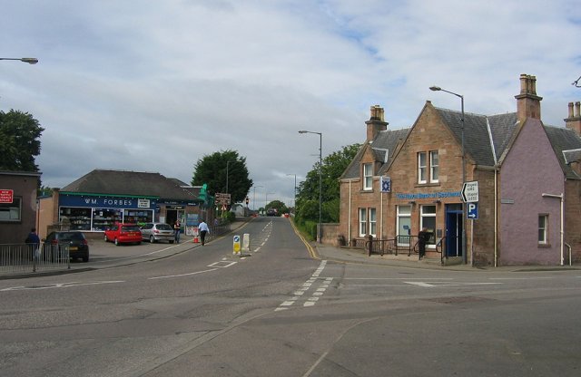
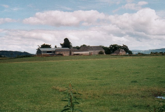
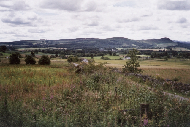
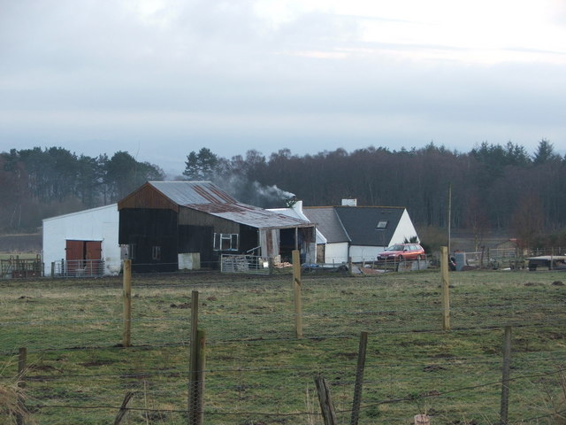
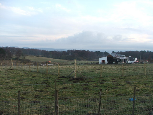
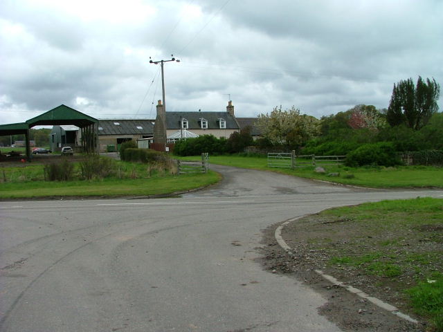
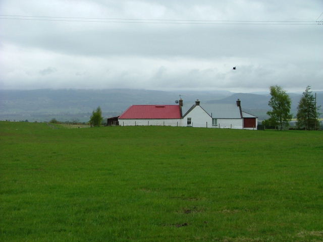
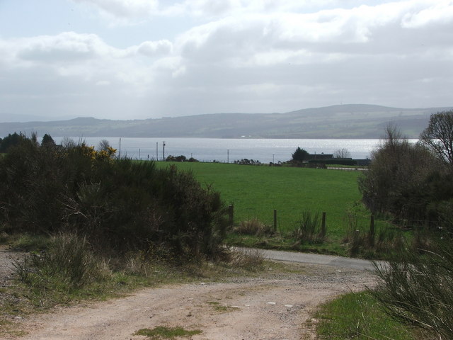
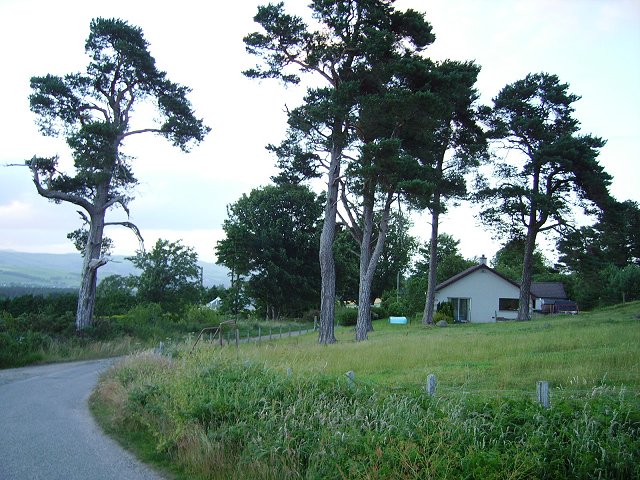
Muir of Tarradal is a small village located in the county of Ross-shire, Scotland. Situated in the Scottish Highlands, it is nestled amidst stunning natural landscapes that are characteristic of the region. The village is surrounded by rolling hills, lush green fields, and serene lochs, offering residents and visitors breathtaking views and a tranquil atmosphere.
With a population of around 200 people, Muir of Tarradal is known for its close-knit community and friendly locals. The village is primarily residential, consisting of traditional stone cottages and a few modern houses. The architecture reflects the traditional Scottish style, blending seamlessly with the picturesque surroundings.
Although small, Muir of Tarradal has a few amenities to cater to its residents' needs. There is a local convenience store where essentials can be purchased, and a charming village pub that serves as a social hub for both locals and tourists. Additionally, the village has a primary school, ensuring educational facilities for the younger population.
Being located in the heart of the Scottish Highlands, Muir of Tarradal offers excellent opportunities for outdoor activities. The surrounding area is perfect for hiking, with various trails leading to nearby hills and viewpoints. Fishing enthusiasts can enjoy angling in the nearby lochs, while nature lovers can explore the rich wildlife that inhabits the region.
Overall, Muir of Tarradal is a peaceful and picturesque village that provides a close bond within its community and serves as a gateway to the breathtaking beauty of the Scottish Highlands.
If you have any feedback on the listing, please let us know in the comments section below.
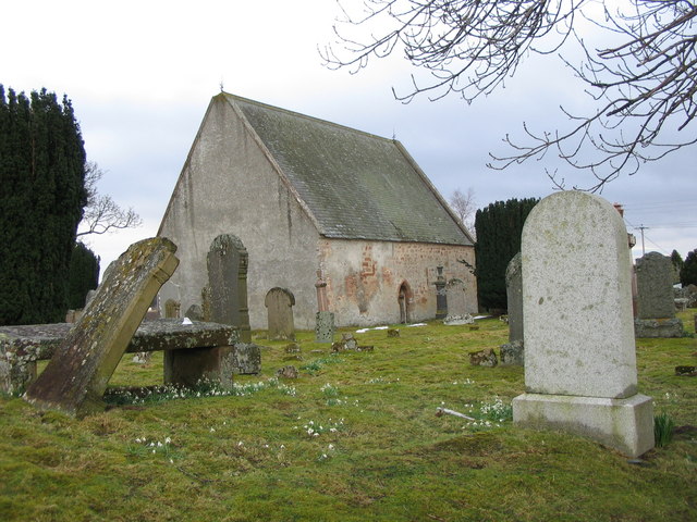
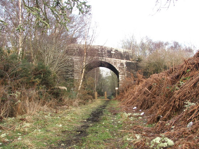
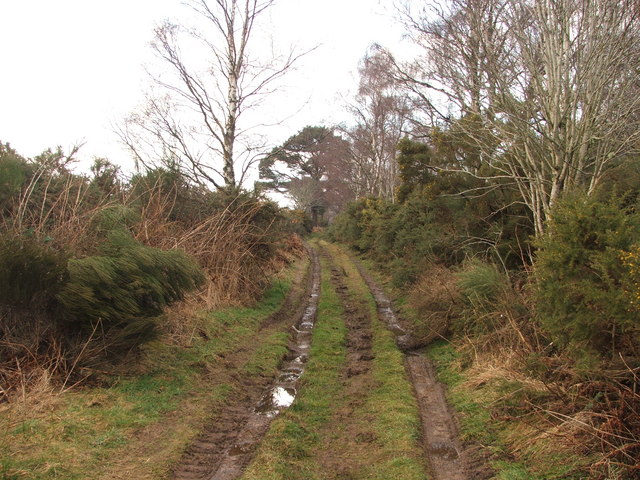
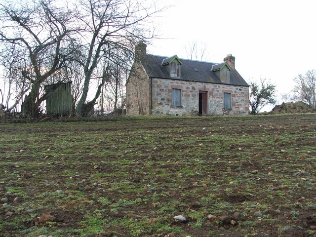
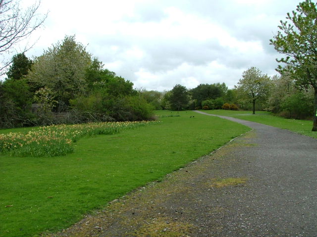
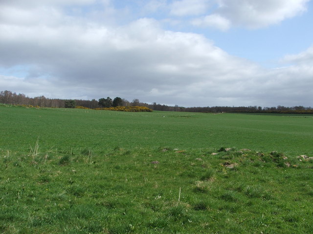
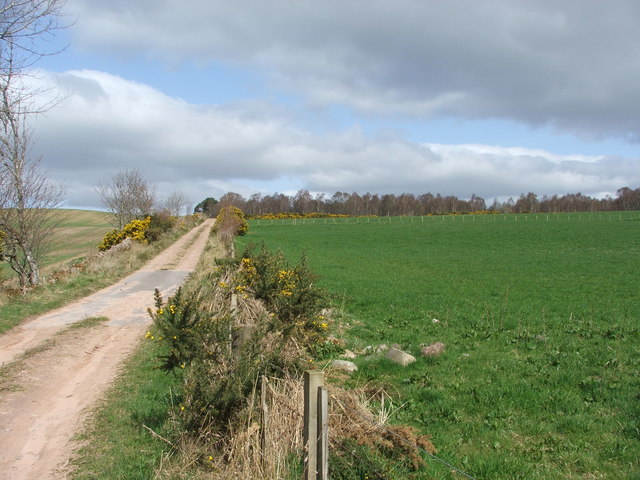
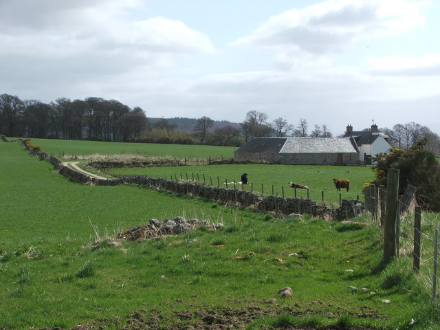
Muir of Tarradal Images
Images are sourced within 2km of 57.516558/-4.4391382 or Grid Reference NH5450. Thanks to Geograph Open Source API. All images are credited.
Muir of Tarradal is located at Grid Ref: NH5450 (Lat: 57.516558, Lng: -4.4391382)
Unitary Authority: Highland
Police Authority: Highlands and Islands
What 3 Words
///friend.beams.decoding. Near Muir of Ord, Highland
Nearby Locations
Related Wikis

Muir of Tarradale
Muir of Tarradale is a scattered crofting township, lying 1.5 miles east of Muir of Ord on the western side of the Black Isle, in Ross-shire, Scottish...

Muir of Ord
Muir of Ord (Scottish Gaelic: Am Blàr Dubh) is a village in Easter Ross, in the Highland council area of Scotland. It is situated near the western end...

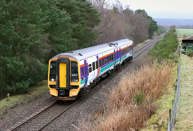
Muir of Ord railway station
Muir of Ord railway station is a railway station on the Kyle of Lochalsh Line and the Far North Line, serving the village of Muir of Ord in the Highland...

Windhill
Windhill (Scottish Gaelic: Cnoc na Gaoithe) is a hamlet in Ross and Cromarty, in the Highland council area of Scotland, about halfway between the villages...
Bishop Kinkell
Bishop Kinkell is a small scattered crofting hamlet 1.5 miles south of Conon Bridge in Inverness-shire, Scottish Highlands and is in the Scottish council...

Glen Ord Distillery
Glen Ord distillery is a whisky distillery in the Scottish Highlands and is the only remaining single malt scotch whisky distillery on the Black Isle.Glen...
Muir of Allangrange
Muir of Allangrange is a scattered crofting township, lying 3 miles northeast of Muir of Ord on the western side of the Black Isle, in Ross-shire, Scottish...
Ardnagrask
Ardnagrask (Scottish Gaelic: Àird nan Crasg) is a rural area near to Muir of Ord in Highland, Scotland. == References ==
Nearby Amenities
Located within 500m of 57.516558,-4.4391382Have you been to Muir of Tarradal?
Leave your review of Muir of Tarradal below (or comments, questions and feedback).