Muir of Pert
Settlement in Angus
Scotland
Muir of Pert
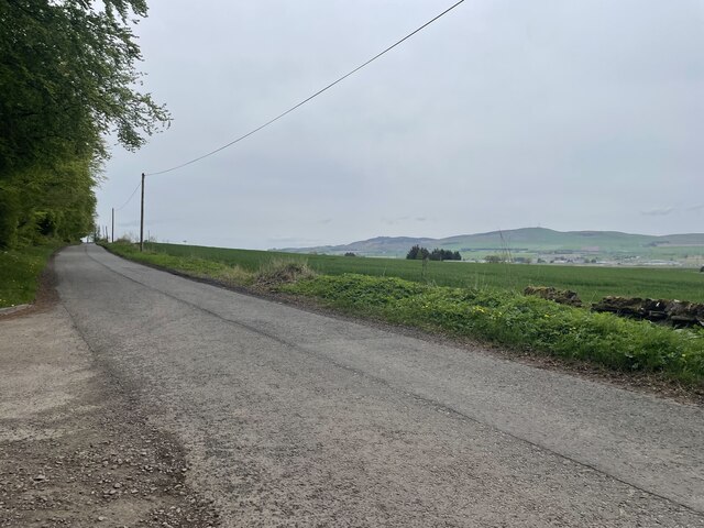
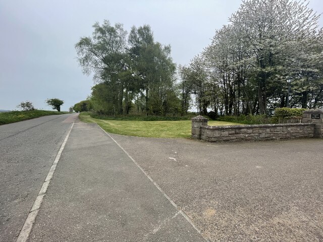
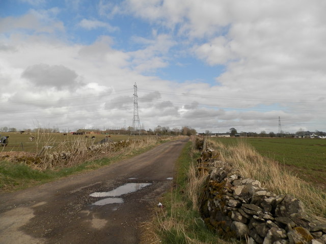
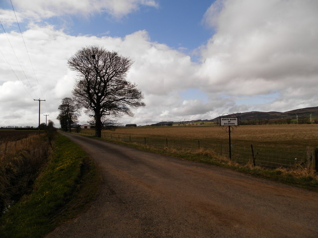
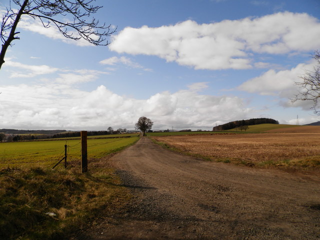
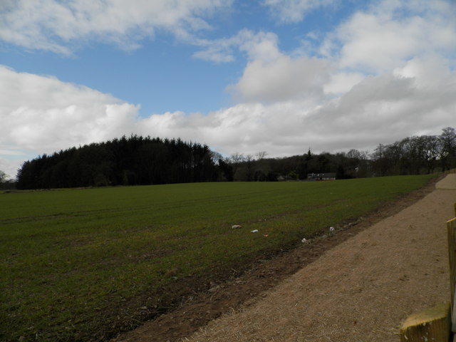
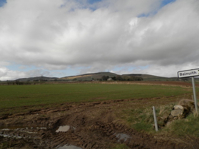
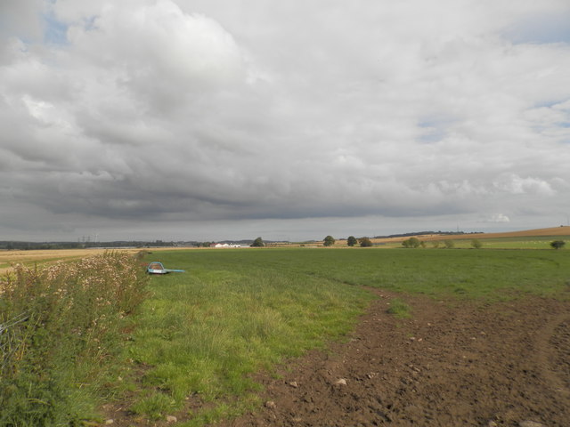
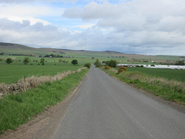
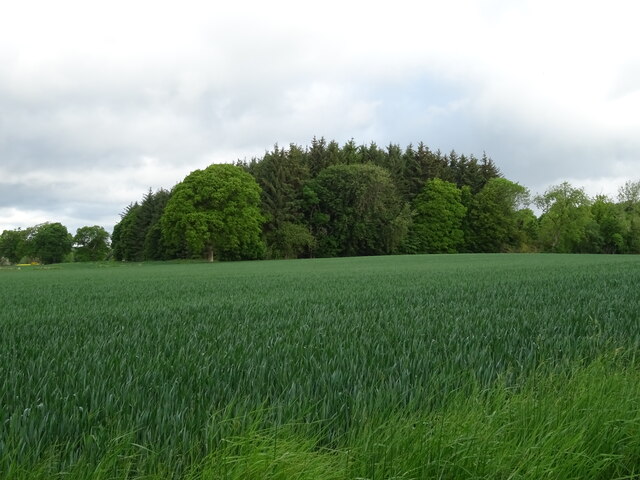
Muir of Pert is a small village located in the county of Angus, Scotland. Situated approximately 7 miles north of the town of Forfar, Muir of Pert is nestled amidst the picturesque countryside of the Angus Glens. The village is surrounded by rolling hills, lush green fields, and enchanting woodlands, making it a haven for nature lovers and outdoor enthusiasts.
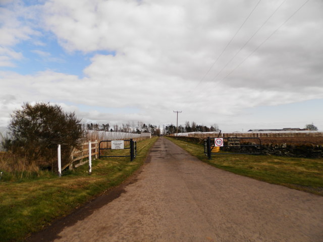
Muir of Pert is home to a tight-knit community, with a population of around 200 residents. The village exudes a tranquil and peaceful atmosphere, offering a welcome escape from the hustle and bustle of city life. The local economy is primarily centered around agriculture and farming, with many residents engaged in rearing livestock and cultivating crops.
Although small in size, Muir of Pert boasts a rich history dating back centuries. Nearby, the ruins of Pert Old Church and graveyard stand as a testament to the village's past. These historic sites provide a glimpse into the lives of the people who once called Muir of Pert home.
For those seeking outdoor adventures, Muir of Pert offers ample opportunities. The surrounding countryside is crisscrossed with walking trails and paths that showcase the area's natural beauty. From leisurely strolls to challenging hikes, there is something for everyone to enjoy.
Overall, Muir of Pert is a charming village that offers a peaceful retreat in the heart of Angus. Its stunning natural surroundings, close-knit community, and rich history make it a place worth exploring for those seeking a taste of authentic Scottish countryside living.
If you have any feedback on the listing, please let us know in the comments section below.
Muir of Pert Images
Images are sourced within 2km of 56.512209/-2.9765619 or Grid Reference NO4036. Thanks to Geograph Open Source API. All images are credited.


Muir of Pert is located at Grid Ref: NO4036 (Lat: 56.512209, Lng: -2.9765619)
Unitary Authority: Angus
Police Authority: Tayside
What 3 Words
///riders.best.foil. Near Dundee, Dundee City
Nearby Locations
Related Wikis

RAF Tealing
Royal Air Force Tealing or more simply RAF Tealing is a former Royal Air Force station located at Tealing, Angus, Scotland. == Overview == During the Second...
Strathmartine Hospital
Strathmartine Hospital was a health facility in Craigmaill Road, Strathmartine, Angus, Scotland. It was managed by NHS Tayside. It remains a Category B...
Strathmartine
Strathmartine is an area of Angus, Scotland (named after a local mythical hero, Strathmartin The Dragonslayer). It is to the north of Dundee and the surrounding...

Inveraldie
Inveraldie is a village in Angus, Scotland. It lies on the north-bound side of the A90 road, two miles north of Dundee. == References ==
Baldragon Academy
Baldragon Academy is a six-year comprehensive in the Kirkton area of the city of Dundee, Scotland. It was originally named Kirkton High School until merging...
Balgowan, Dundee
Balgowan is an area of Dundee, Scotland. The name derives from the Scottish Gaelic Baile Ghobhainn, meaning "blacksmith's stead" (cf also Govan in Glasgow...

Claverhouse
Claverhouse is a residential area located on the northern outskirts of Dundee, Scotland with the city centre located 2 miles (3.2 km) from the area....
Downfield F.C.
Downfield Football Club are a Scottish junior football club based in the Downfield area of Dundee. Their home ground is Downfield Park. == History == The...
Nearby Amenities
Located within 500m of 56.512209,-2.9765619Have you been to Muir of Pert?
Leave your review of Muir of Pert below (or comments, questions and feedback).