Coille Riabach

Wood, Forest in Ross-shire

Scotland

Coille Riabach

Muir of Ord Looking up to the railway station from the crossroads in the centre of the village.
Muir of Ord Credit: Richard Webb

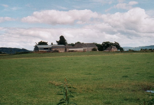
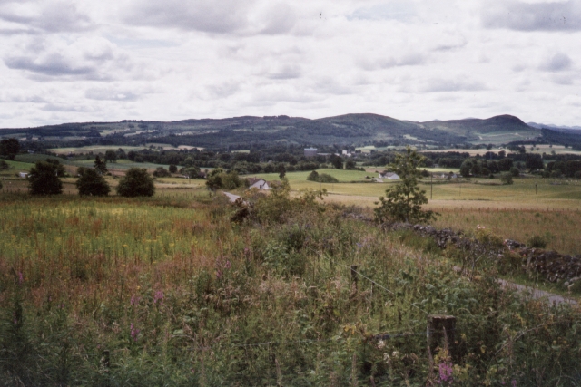
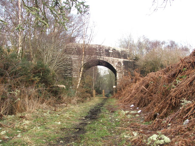
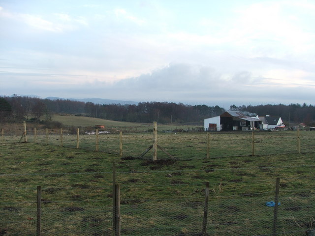
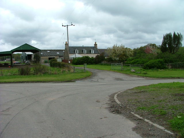
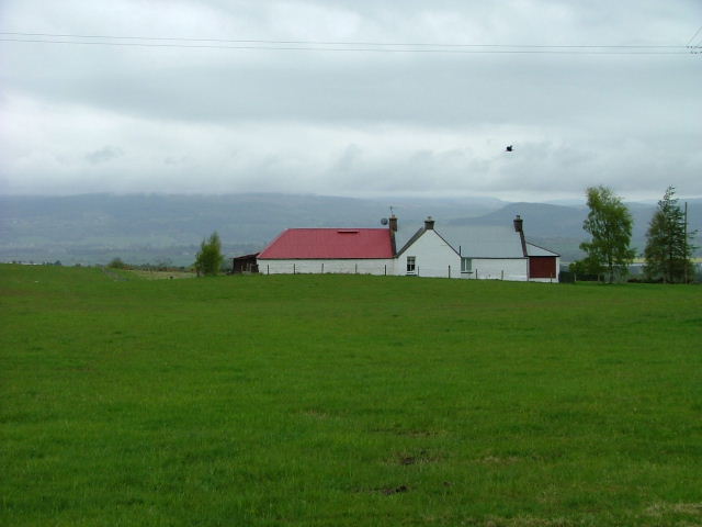
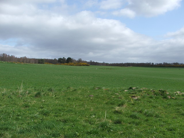
Coille Riabach, located in Ross-shire, is a picturesque woodland area in the Scottish Highlands. The name "Coille Riabach" translates to "Wood, Forest" in English, which aptly describes the natural beauty and abundance of trees found in the region.

Covering a vast expanse of land, Coille Riabach is home to a diverse range of flora and fauna. The woodland is primarily composed of native species such as Scots pine, birch, rowan, and oak trees, creating a rich and vibrant ecosystem. The forest floor is adorned with a variety of wildflowers, ferns, and mosses, adding to the enchanting atmosphere of the area.

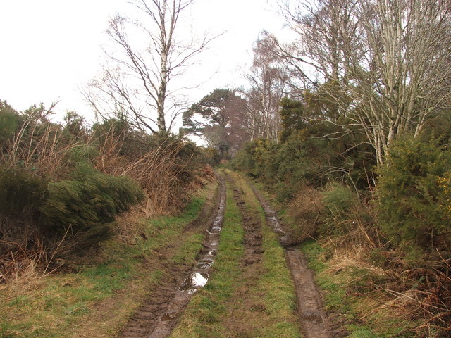
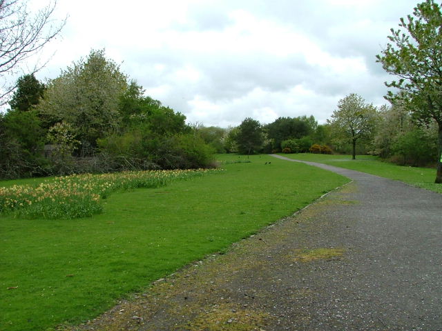
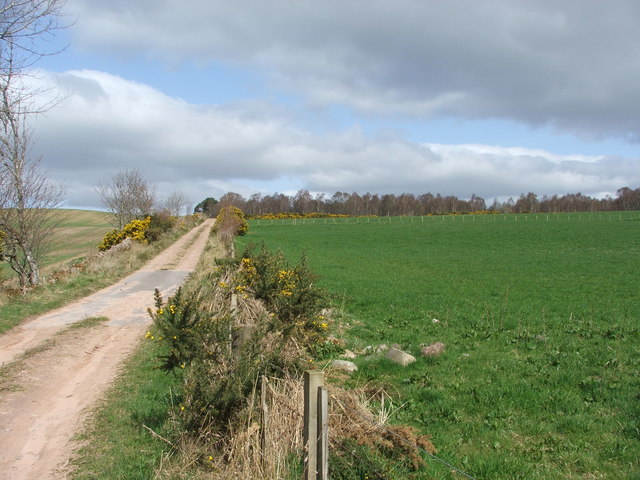
Coille Riabach is a popular destination for nature enthusiasts and outdoor adventurers. The woodland offers numerous walking trails and paths, allowing visitors to explore its natural wonders at their own pace. The tranquil ambiance and serene surroundings make it an ideal spot for relaxation and meditation.

The forest also provides a habitat for a wide array of wildlife. Visitors may catch glimpses of red squirrels, roe deer, and a multitude of bird species, including the iconic Scottish crossbill. The presence of these creatures adds to the allure of Coille Riabach and offers opportunities for wildlife observation and photography.

Overall, Coille Riabach, with its lush vegetation, diverse wildlife, and scenic beauty, is a must-visit location for those seeking a serene escape in the heart of the Scottish Highlands.

If you have any feedback on the listing, please let us know in the comments section below.

Coille Riabach Images

Images are sourced within 2km of 57.517172/-4.4319984 or Grid Reference NH5450. Thanks to Geograph Open Source API. All images are credited.

Muir of Ord Looking up to the railway station from the crossroads in the centre of the village.
Muir of Ord
Looking up to the railway station from the crossroads in the centre of the village.
Tarradale Mains Tarradale Mains. This farm was the main or home farm for Tarradale House, hence the term the Mains.
Tarradale Mains
Tarradale Mains. This farm was the main or home farm for Tarradale House, hence the term the Mains.
Crofts, Balvaird by Muir of Ord Looking SW across most of this square. It comprises of fairly typical croft land for this fertile area of Ross Shire.
Crofts, Balvaird by Muir of Ord
Looking SW across most of this square. It comprises of fairly typical croft land for this fertile area of Ross Shire.
Gilchrist Mausoleum This is the old church of Kilchrist (now spelt Gilchrist) which was burnt in 1603 and is now used as a mausoleum and burial ground. It is situated near the Muir of Ord industrial estate
Gilchrist Mausoleum
This is the old church of Kilchrist (now spelt Gilchrist) which was burnt in 1603 and is now used as a mausoleum and burial ground. It is situated near the Muir of Ord industrial estate
The Ark Bridge This bridge, locally known as the Ark Bridge, crosses the old railway line between Muir of Ord and Tore.
The Ark Bridge
This bridge, locally known as the Ark Bridge, crosses the old railway line between Muir of Ord and Tore.
Ark Road This is a section of a disused road locally called the "Ark Road"
Ark Road
This is a section of a disused road locally called the "Ark Road"
Winnie's This old house has lain empty since the previous occupant died in the 1990s. Her name was Winnie Campbell and had lived in this house for many many years. The house is still locally known as "Winnie's"
Winnie's
This old house has lain empty since the previous occupant died in the 1990s. Her name was Winnie Campbell and had lived in this house for many many years. The house is still locally known as "Winnie's"
Loch-na-Mhoid This croft and outbuildings make up part of the croft called Loch-na Mhoid.
Loch-na-Mhoid
This croft and outbuildings make up part of the croft called Loch-na Mhoid.
Loch-na-Mhoid The croft Loch-na-Mhoid has now been split up and there are a few new houses where once there were fields. The croft had until recently been occupied by the Maclennan family and their history here can be traced back 200+ years.
Loch-na-Mhoid
The croft Loch-na-Mhoid has now been split up and there are a few new houses where once there were fields. The croft had until recently been occupied by the Maclennan family and their history here can be traced back 200+ years.
Balvattie Farm Southeast of Muir of Ord.
Balvattie Farm
Southeast of Muir of Ord.
"Woodlands" North east of Muir of Ord.
"Woodlands"
North east of Muir of Ord.
Tarradale Park Muir of Ord
Tarradale Park
Muir of Ord
Forestry plantation Recent forestry plantation.
Forestry plantation
Recent forestry plantation.
Disused railway Part of the disused railway that once ran from Muir of Ord to Tore.
Disused railway
Part of the disused railway that once ran from Muir of Ord to Tore.
The Ark road The start of the Ark road from the southern side.
The Ark road
The start of the Ark road from the southern side.
Whitewells Whitewells croft house.
Whitewells
Whitewells croft house.
Disused railway Disused railway between Muir of Ord and Tore
Disused railway
Disused railway between Muir of Ord and Tore
Show me another place!

Coille Riabach is located at Grid Ref: NH5450 (Lat: 57.517172, Lng: -4.4319984)

Unitary Authority: Highland

Police Authority: Highlands and Islands

What 3 Words

///locator.changed.finalists. Near Muir of Ord, Highland

Related Wikis

Muir of Tarradale

Muir of Tarradale is a scattered crofting township, lying 1.5 miles east of Muir of Ord on the western side of the Black Isle, in Ross-shire, Scottish...
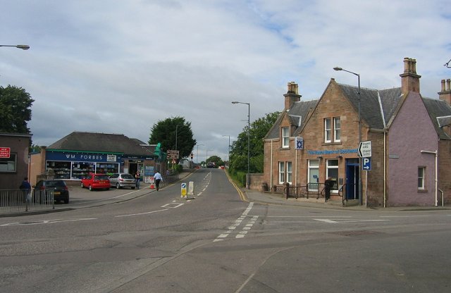
Muir of Ord

Muir of Ord (Scottish Gaelic: Am Blàr Dubh) is a village in Easter Ross, in the Highland council area of Scotland. It is situated near the western end...

Muir of Ord railway station

Muir of Ord railway station is a railway station on the Kyle of Lochalsh Line and the Far North Line, serving the village of Muir of Ord in the Highland...
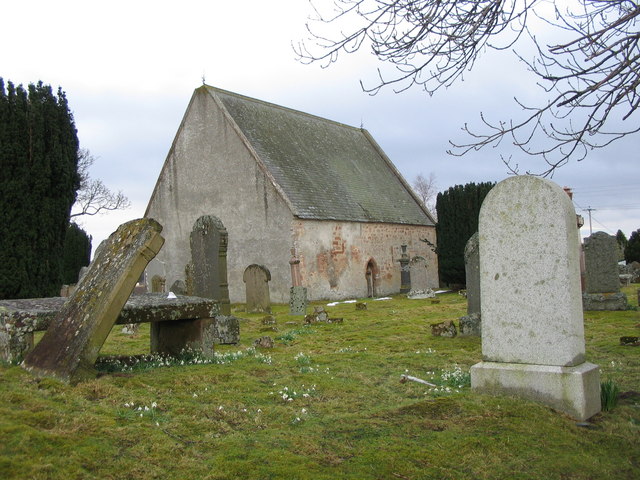
Bishop Kinkell

Bishop Kinkell is a small scattered crofting hamlet 1.5 miles south of Conon Bridge in Inverness-shire, Scottish Highlands and is in the Scottish council...

Windhill

Windhill (Scottish Gaelic: Cnoc na Gaoithe) is a hamlet in Ross and Cromarty, in the Highland council area of Scotland, about halfway between the villages...

Muir of Allangrange

Muir of Allangrange is a scattered crofting township, lying 3 miles northeast of Muir of Ord on the western side of the Black Isle, in Ross-shire, Scottish...

Glen Ord Distillery

Glen Ord distillery is a whisky distillery in the Scottish Highlands and is the only remaining single malt scotch whisky distillery on the Black Isle.Glen...

Kilcoy Castle

Kilcoy Castle is a 16th-century castle near Muir of Ord and Tore on the Black Isle, in Ross and Cromarty, Scotland. Kilcoy Castle is a ‘Z’ plan fortalice...

Nearby Amenities

Located within 500m of 57.517172,-4.4319984
Power: pole
Lat/Long: 57.518118/-4.4384284
Power: pole
Lat/Long: 57.5211208/-4.4323784
Power: pole
Lat/Long: 57.52099/-4.4314531
Power: pole
Lat/Long: 57.5208625/-4.4304243
Power: pole
Lat/Long: 57.5208146/-4.4293468
Power: pole
Lat/Long: 57.520783/-4.4282713
Power: pole
Lat/Long: 57.5207481/-4.427206
Power: pole
Lat/Long: 57.514562/-4.4386508
Power: pole
Lat/Long: 57.5153372/-4.4385932
Power: pole
Lat/Long: 57.5161622/-4.4385578
Power: pole
Lat/Long: 57.5168898/-4.4385135
The data included in this document is from www.openstreetmap.org. The data is made available under ODbL.

Have you been to Coille Riabach?

Leave your review of Coille Riabach below (or comments, questions and feedback).