Muircleugh

Settlement in Berwickshire

Scotland

Muircleugh

Closed off parking, Lauder Common The war on camper vans?
Closed off parking, Lauder Common Credit: Richard Webb

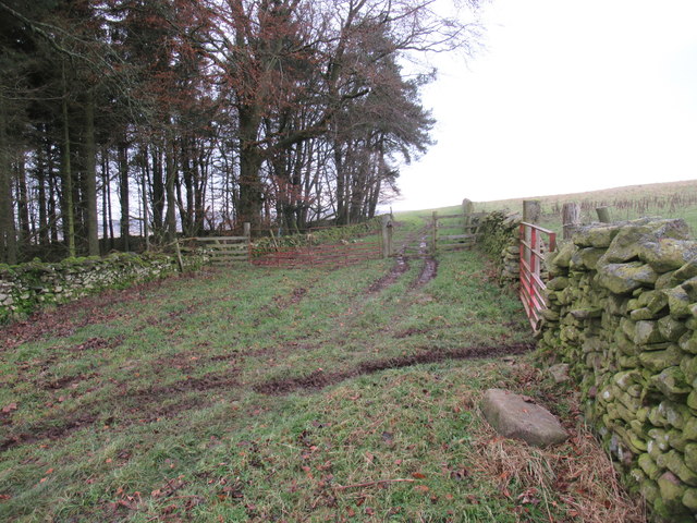
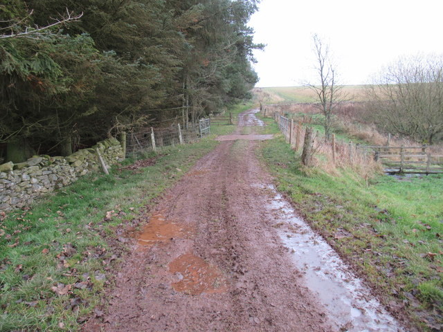
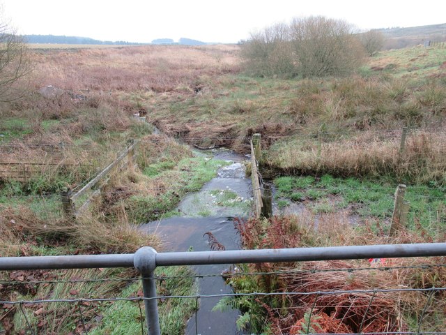
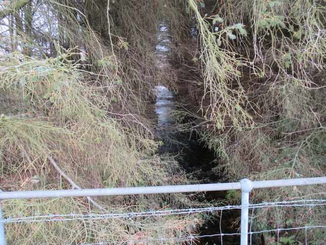
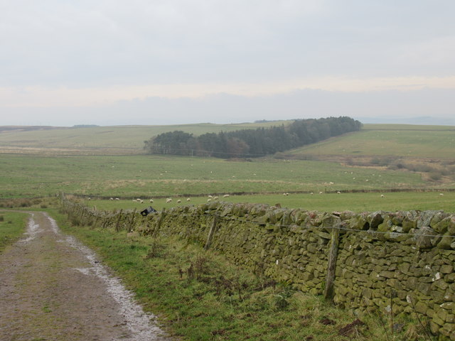
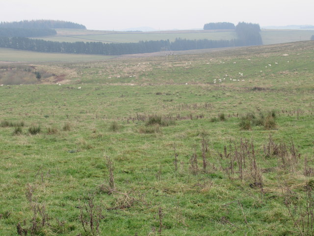
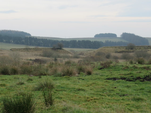
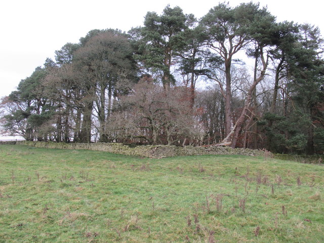
Muircleugh is a small village located in the Scottish Borders region of Berwickshire. Situated near the eastern coast of Scotland, the village is surrounded by picturesque countryside, offering stunning views of rolling hills and lush green fields.

With a population of around 150 residents, Muircleugh is known for its peaceful and close-knit community. The village features a few traditional stone houses, giving it a quaint and charming atmosphere. The local architecture reflects the area's rich history, with some buildings dating back several centuries.

Despite its small size, Muircleugh benefits from a range of amenities. The village has a small primary school, serving the educational needs of the local children. Additionally, a village hall serves as a hub for community events and activities, bringing residents together.

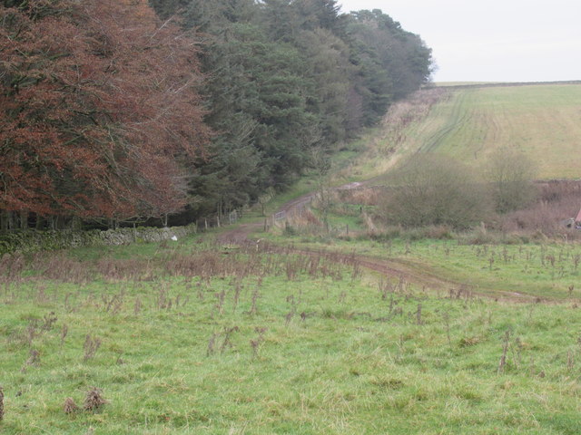
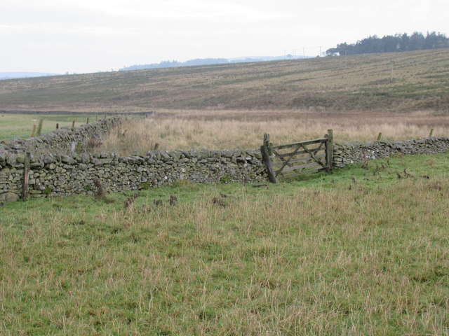
Nature enthusiasts will find plenty to explore in and around Muircleugh. The village is surrounded by beautiful natural landscapes, including nearby forests and nature reserves. These areas offer opportunities for hiking, birdwatching, and wildlife spotting.

For those seeking a taste of Scottish history, Muircleugh is conveniently located near several historical sites and landmarks. The famous Edrom Church, known for its stunning stained glass windows, is just a short drive away. Other notable attractions within reach include castles and ruins that offer insights into the region's past.

In summary, Muircleugh is a charming and peaceful village in Berwickshire, Scotland. With its stunning natural beauty and rich history, it offers residents and visitors a tranquil escape from the hustle and bustle of city life.

If you have any feedback on the listing, please let us know in the comments section below.
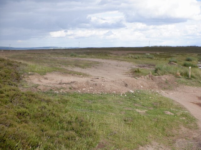
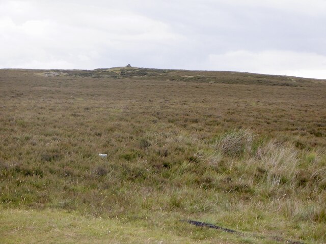
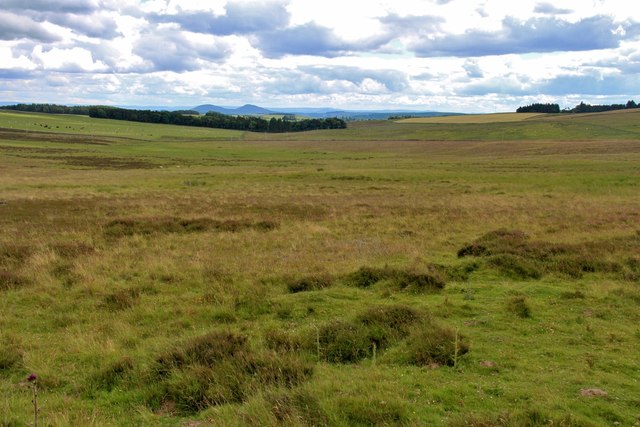
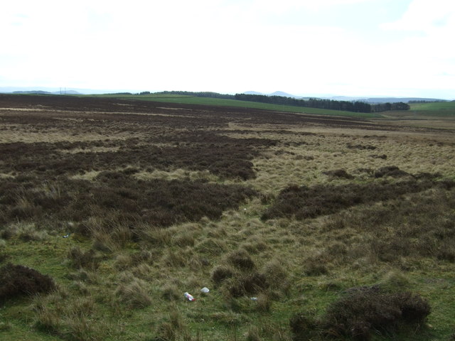
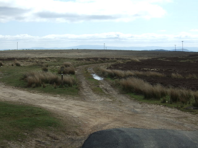
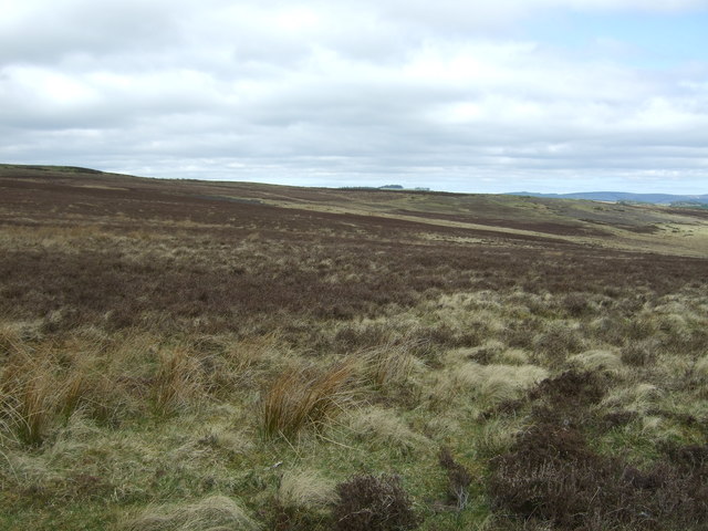
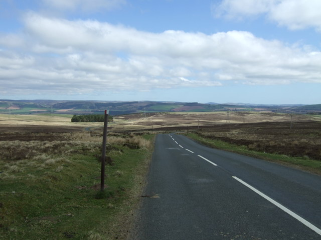
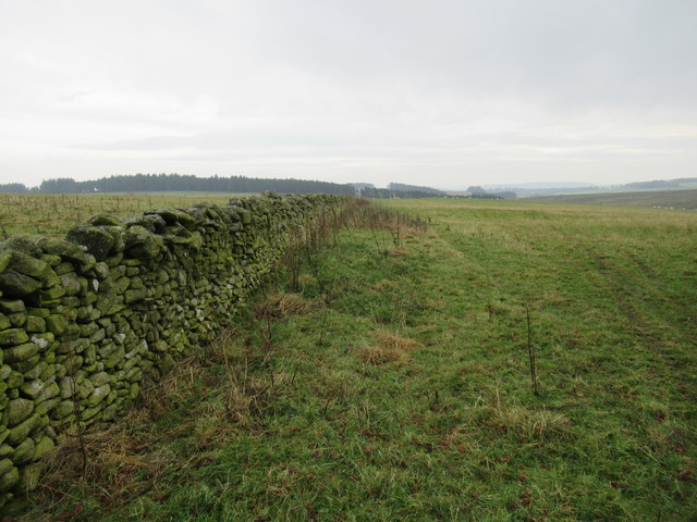
Muircleugh Images

Images are sourced within 2km of 55.695972/-2.7811033 or Grid Reference NT5145. Thanks to Geograph Open Source API. All images are credited.

Closed off parking, Lauder Common The war on camper vans?
Closed off parking, Lauder Common
The war on camper vans?
Lauder Common
Lauder Common
Lauder Common Eildon Hills in the distance.
Lauder Common
Eildon Hills in the distance.
Moorland off the B6362
Moorland track Off the B6362 road from Stow to Lauder.
Moorland track
Off the B6362 road from Stow to Lauder.
Lauder Common Moorland off the B6362.
Lauder Common
Moorland off the B6362.
B6362, Lauder Common Looking north east.
B6362, Lauder Common
Looking north east.
Pathline by dyke near Lauder in the Scottish Borders This would keep ramblers busy!
Pathline by dyke near Lauder in the Scottish Borders
This would keep ramblers busy!
The dyke system on Allenshaws near Lauder seems to show respect for the existence of a path
Allan Water near Lauder bridged after crossing woodland strip
Allan Water near Lauder flowing south from woodland strip on Allenshaws ground
Allan Water near Lauder flowing south through woodland strip on Allanshaws ground
Woodland strip on Allanshaws near Lauder in the Scottish Borders
Rough grazing on west bank of Allan Water near Lauder in the Scottish Borders
A less than natural-looking feature on Allan Water above Lauder in the Scottish Borders
West end of woodland strip on Allanshaws near Lauder in the Scottish Borders
Woodland strip on Allanshaws near Lauder in the Scottish Borders
Handy gate on to Allan Water side near Lauder in the Scottish Borders
Show me another place!

Muircleugh is located at Grid Ref: NT5145 (Lat: 55.695972, Lng: -2.7811033)

Unitary Authority: The Scottish Borders

Police Authority: The Lothians and Scottish Borders

What 3 Words

///flaunting.thrashed.duck. Near Lauder, Scottish Borders

Nearby Locations

Muir Cleugh Muircleugh

Related Wikis

Lauder

The former Royal Burgh of Lauder (, Scottish Gaelic: Labhdar) is a town in the Scottish Borders in the historic county of Berwickshire. On the Southern...

Lauder Town Hall

Lauder Town Hall is a municipal structure in the Market Place in Lauder, Scottish Borders, Scotland. The structure, which is used as the local registrar...

Lauder railway station

Lauder railway station served the town of Lauder, Berwickshire, Scotland, from 1901 to 1958. It was situated on the Lauder Light Railway. == History... ==

Allanshaws

Allanshaws is a place and farm off the B6362, in Lauderdale, by the Allan Water, in the parish of Melrose in the Scottish Borders area of Scotland, formerly...

Thirlestane Castle

Thirlestane Castle is a castle set in extensive parklands near Lauder in the Borders of Scotland. The site is aptly named Castle Hill, as it stands upon...

Lauderdale

Lauderdale is the valley of the Leader Water (a tributary of the Tweed) in the Scottish Borders. It contains the town of Lauder, as well as Earlston. The...

Whitslaid Tower

Whitslaid Tower was an ancient Berwickshire seat of the Lauder family for over 300 years. It is today a ruin high above the eastern bank of the Leader...

Stow of Wedale Town Hall

Stow of Wedale Town Hall is a municipal building in Earlston Road, Stow of Wedale, Scottish Borders, Scotland. The structure, which serves as a community...

Nearby Amenities

Located within 500m of 55.695972,-2.7811033
Power: tower
Lat/Long: 55.693714/-2.7766906
Power: tower
Lat/Long: 55.6953775/-2.7778138
Power: tower
Lat/Long: 55.6981418/-2.7796805
Power: tower
Lat/Long: 55.7001065/-2.7810072
Muircleugh
Place: hamlet
Lat/Long: 55.6995406/-2.778912
Newhouses
Place: isolated_dwelling
Lat/Long: 55.6947521/-2.7747156
Power: pole
Lat/Long: 55.6932025/-2.7856243
Power: pole
Lat/Long: 55.6936159/-2.7845071
Power: pole
Lat/Long: 55.6940422/-2.7834155
Power: pole
Lat/Long: 55.6944224/-2.7823681
Power: pole
Lat/Long: 55.6948548/-2.781263
Power: pole
Lat/Long: 55.6951397/-2.7805093
Power: pole
Lat/Long: 55.6955993/-2.7793077
Power: pole
Lat/Long: 55.6960853/-2.7785245
Power: pole
Lat/Long: 55.6965962/-2.7777064
Power: pole
Lat/Long: 55.6971721/-2.776891
Power: pole
Lat/Long: 55.6977193/-2.7760381
Power: pole
Lat/Long: 55.6983013/-2.7751395
Power: pole
Lat/Long: 55.6920005/-2.7832602
Power: pole
Lat/Long: 55.6926188/-2.7826214
Power: pole
Lat/Long: 55.6932041/-2.7820004
Power: pole
Lat/Long: 55.6938668/-2.7813005
Power: pole
Lat/Long: 55.6946514/-2.7809569
Power: pole
Lat/Long: 55.69536/-2.780649
Power: pole
Lat/Long: 55.6960801/-2.7803512
Power: pole
Lat/Long: 55.696661/-2.7800891
Power: pole
Lat/Long: 55.6973567/-2.779799
Power: pole
Lat/Long: 55.6980709/-2.7795012
Power: pole
Lat/Long: 55.6989473/-2.7795673
Power: pole
Lat/Long: 55.6996465/-2.7796284
Power: pole
Lat/Long: 55.6977697/-2.7809697
Power: pole
Lat/Long: 55.6981972/-2.7822575
Power: pole
Lat/Long: 55.6986217/-2.7834893
Power: pole
Lat/Long: 55.6990663/-2.7847186
The data included in this document is from www.openstreetmap.org. The data is made available under ODbL.

Have you been to Muircleugh?

Leave your review of Muircleugh below (or comments, questions and feedback).