Mousesweet
Settlement in Staffordshire
England
Mousesweet
Mousesweet is a small village located in the county of Staffordshire, England. Situated about 8 miles northwest of Stafford, it falls within the Staffordshire Moorlands district. The village is nestled in a picturesque rural setting, surrounded by rolling hills and scenic landscapes.
With a population of just over 300 residents, Mousesweet is known for its tight-knit community and friendly atmosphere. The village is centered around its charming historic buildings, including the Grade II listed St. Michael's Church, which dates back to the 13th century. The church's architecture showcases a mix of Gothic and Norman styles.
Agriculture plays a significant role in Mousesweet's economy, with many residents engaged in farming and related activities. The fertile land in the area enables the cultivation of various crops and the rearing of livestock. This agricultural heritage is celebrated annually with the Mousesweet Harvest Festival, a popular event that brings together locals and visitors alike to enjoy traditional food, games, and entertainment.
For outdoor enthusiasts, Mousesweet offers plenty of opportunities to explore the natural beauty of the Staffordshire countryside. The village is surrounded by vast green spaces, ideal for leisurely walks, cycling, and picnics. The nearby Cannock Chase, an Area of Outstanding Natural Beauty, is a haven for wildlife and provides a range of outdoor activities such as hiking, horse riding, and mountain biking.
Mousesweet may be small in size, but its rich history, close-knit community, and beautiful surroundings make it a charming destination for visitors seeking a peaceful retreat in the heart of Staffordshire.
If you have any feedback on the listing, please let us know in the comments section below.
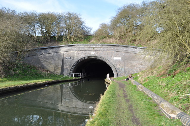
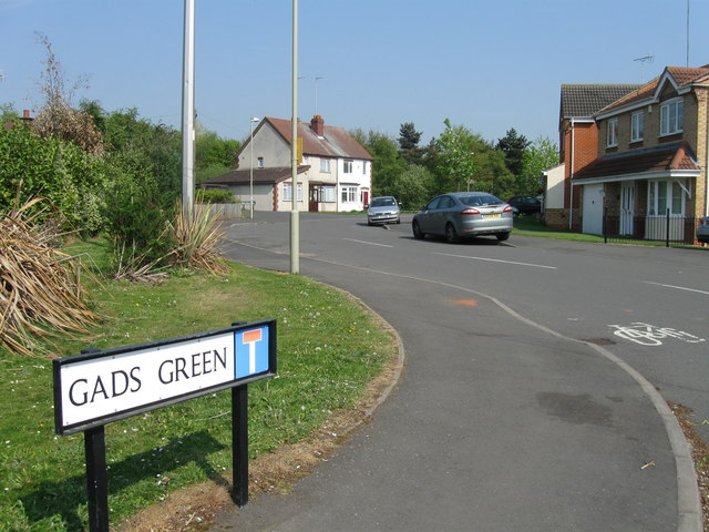
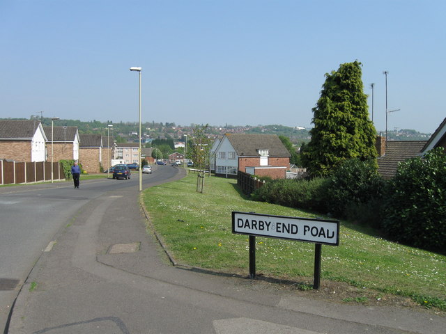
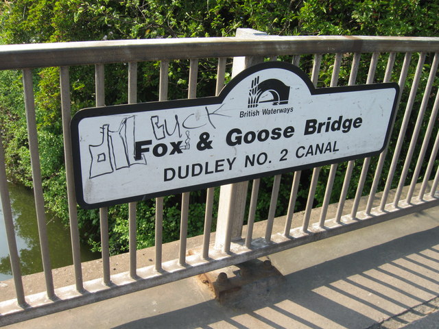
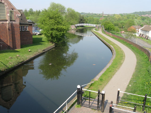
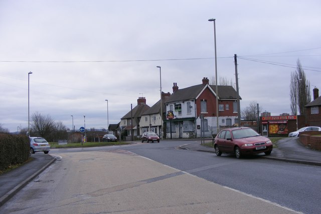
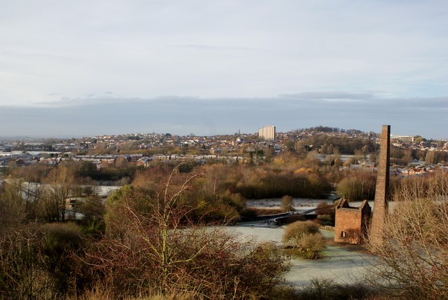
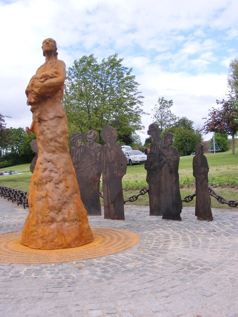
Mousesweet Images
Images are sourced within 2km of 52.4809/-2.0750507 or Grid Reference SO9587. Thanks to Geograph Open Source API. All images are credited.


Mousesweet is located at Grid Ref: SO9587 (Lat: 52.4809, Lng: -2.0750507)
Unitary Authority: Sandwell
Police Authority: West Midlands
What 3 Words
///dine.bright.hints. Near Netherton, West Midlands
Nearby Locations
Related Wikis

Darby End railway station
Darby End Halt was a station on the former Great Western Railway's Bumble Hole Line between Blowers Green and Old Hill. It opened in 1905 and closed...

Dudley Wood Stadium
Dudley Wood Stadium also known as Cradley Heath Greyhound Stadium was a greyhound racing and speedway stadium. == Origins == The origins of the track date...
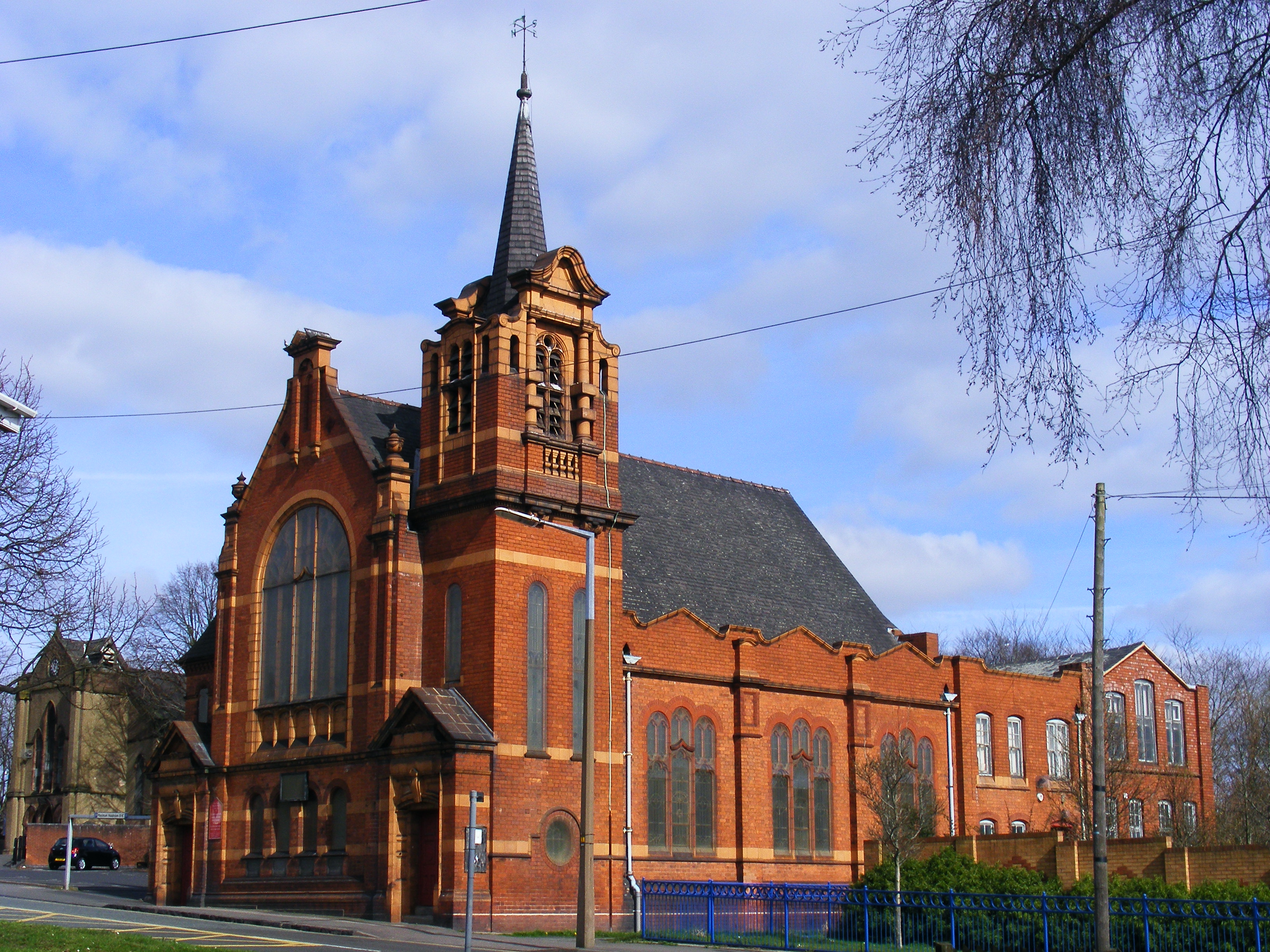
Cradley Heath Baptist Church
Cradley Heath Baptist Church, also known as Four-ways Baptist Church, was the first Church of any denomination to build a chapel in Cradley Heath, West...
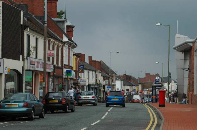
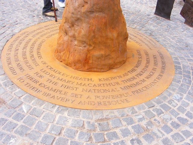
Cradley Heath
Cradley Heath is a town in the Metropolitan Borough of Sandwell, West Midlands, England. It is in the Black Country, 8 miles (13 km) west of Birmingham...
Nearby Amenities
Located within 500m of 52.4809,-2.0750507Have you been to Mousesweet?
Leave your review of Mousesweet below (or comments, questions and feedback).