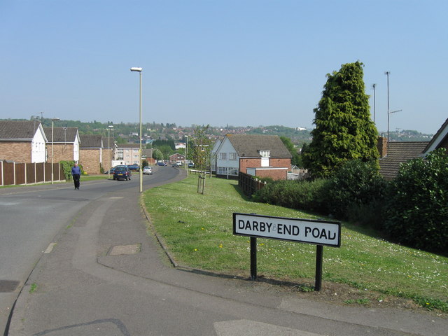
Darby End
Settlement in Staffordshire
England
Darby End
Darby End is a small village located in the county of Staffordshire, England. Situated approximately 4 miles south of the town of Lichfield, it falls within the civil parish of Whittington and is part of the Lichfield District. The village is nestled amidst picturesque countryside, offering residents and visitors a peaceful and idyllic setting.
Darby End is characterized by its charming rural atmosphere and traditional English architecture. The village is predominantly residential, with a mix of detached and semi-detached houses. The surrounding landscape is dotted with farmlands, providing a beautiful backdrop and enhancing the village's tranquility.
While Darby End is a peaceful retreat, it benefits from its close proximity to Lichfield, which offers a range of amenities and services. Residents can easily access shopping centers, supermarkets, schools, and healthcare facilities within a short drive. The village also benefits from good transportation links, with regular bus services connecting it to neighboring towns and villages.
Nature enthusiasts will appreciate the village's proximity to several parks and green spaces, such as Whittington Heath Golf Club and Whittington Barracks Nature Reserve. These areas provide opportunities for outdoor activities like walking, cycling, and bird-watching.
In conclusion, Darby End in Staffordshire offers a serene and picturesque village lifestyle, with its rural surroundings and convenient access to nearby amenities. It is an appealing location for those seeking a peaceful retreat while still being within reach of larger towns and services.
If you have any feedback on the listing, please let us know in the comments section below.
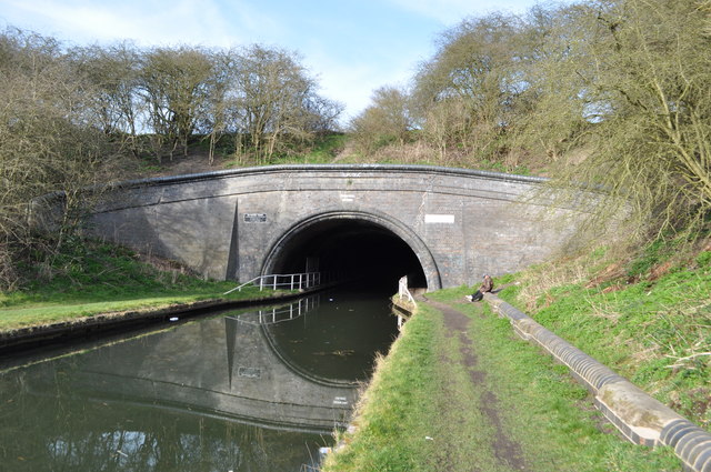
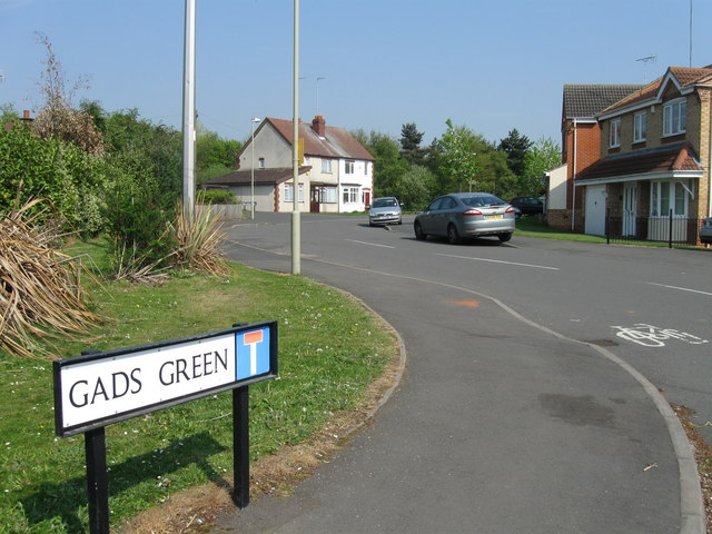
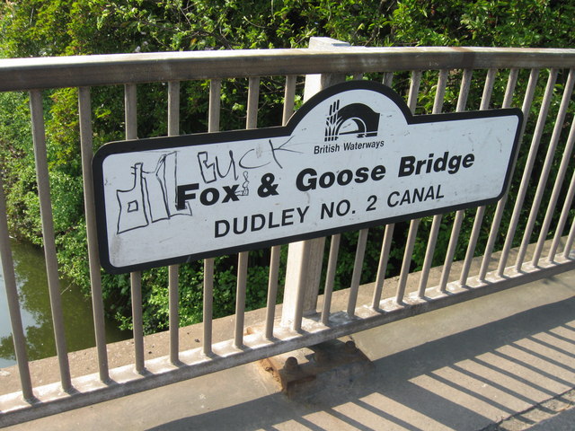
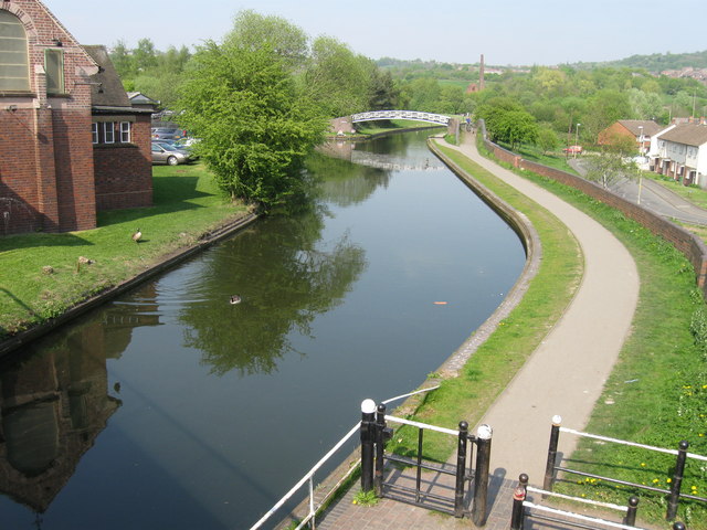
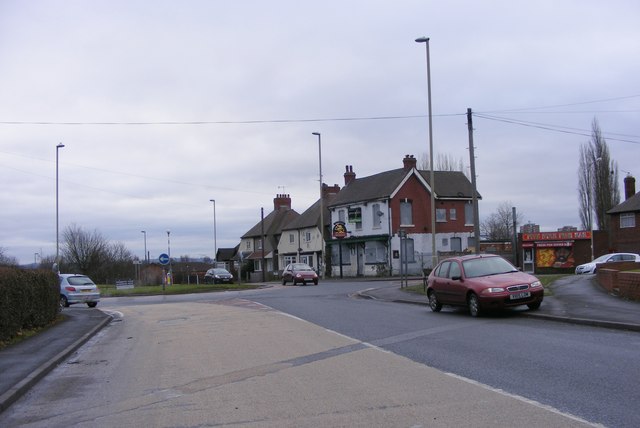
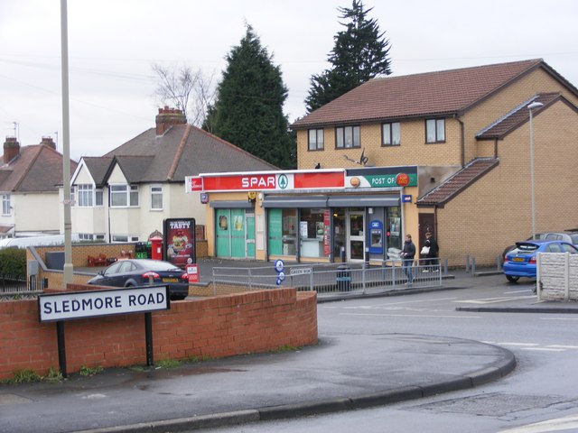
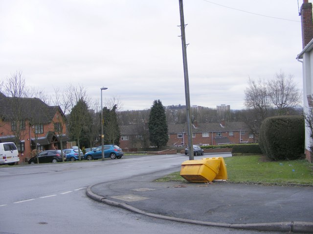
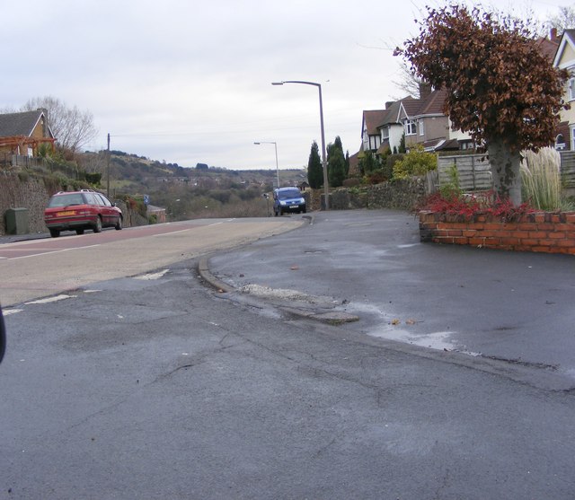
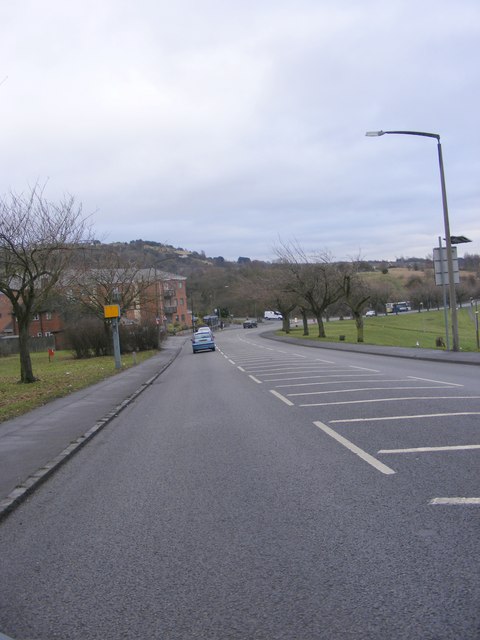
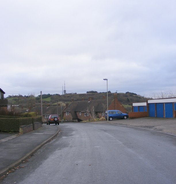
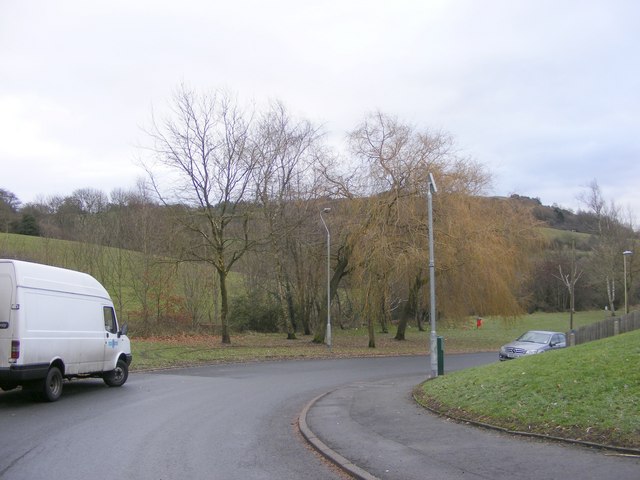
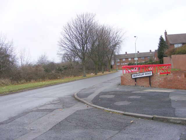
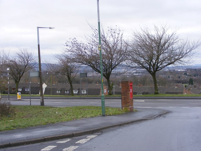
Darby End Images
Images are sourced within 2km of 52.486043/-2.070493 or Grid Reference SO9587. Thanks to Geograph Open Source API. All images are credited.
Darby End is located at Grid Ref: SO9587 (Lat: 52.486043, Lng: -2.070493)
Unitary Authority: Dudley
Police Authority: West Midlands
What 3 Words
///clever.badge.online. Near Netherton, West Midlands
Nearby Locations
Related Wikis

Darby End railway station
Darby End Halt was a station on the former Great Western Railway's Bumble Hole Line between Blowers Green and Old Hill. It opened in 1905 and closed...

Windmill End railway station
Windmill End railway station was a station on the former Great Western Railway's Bumble Hole Line between Blowers Green and Old Hill. It opened in 1878...

Bumble Hole line
The Bumble Hole line was a short railway located in Central England. It opened in 1878 to give Dudley a direct railway link with Old Hill, over a distance...
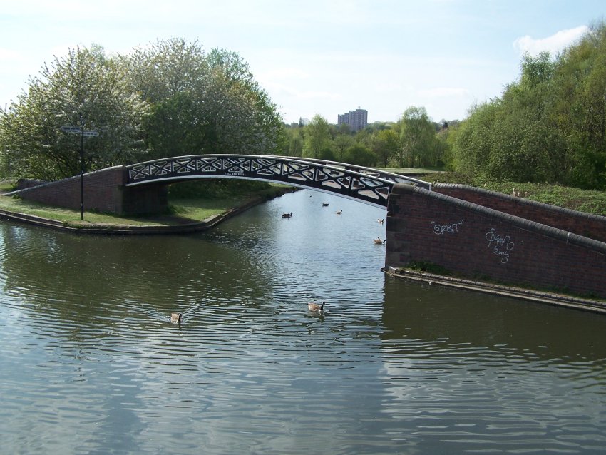
Bumble Hole Branch Canal
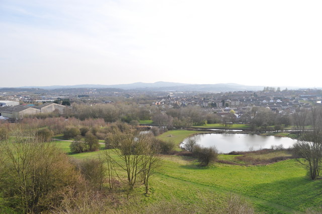
The present day Bumble Hole Branch Canal and Boshboil Branch surround Bumble Hole, a water-filled clay pit, in Bumble Hole and Warren's Hall Nature Reserve...

Bumble Hole Local Nature Reserve
Bumble Hole Local Nature Reserve is situated in the Netherton area of Dudley Metropolitan Borough in the county of West Midlands, England. This former...
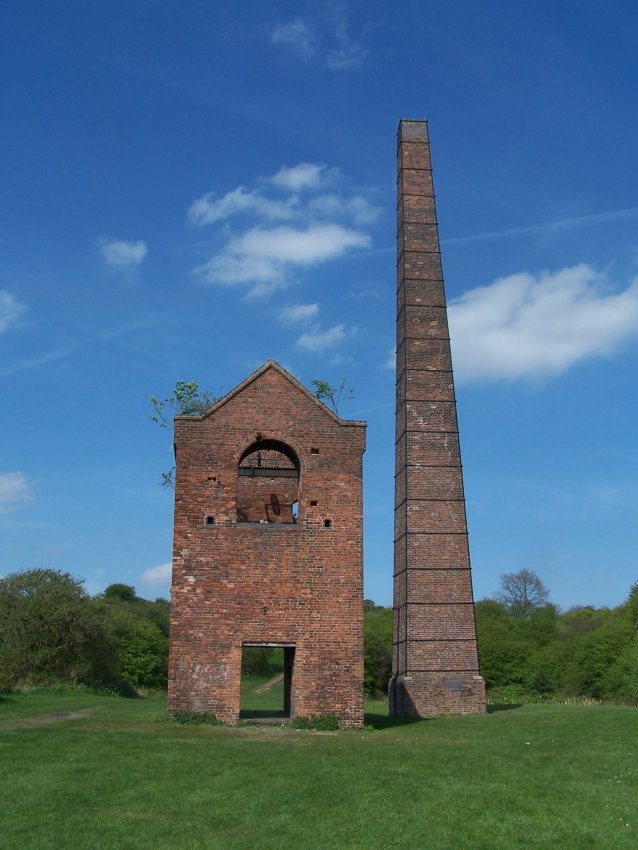
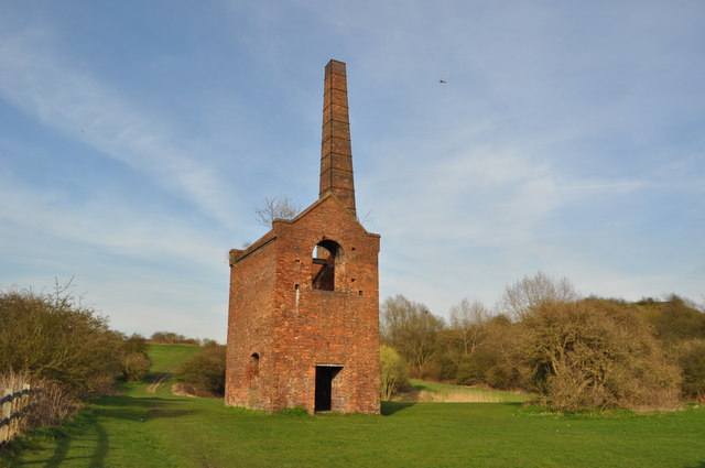
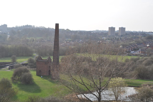
Cobb's Engine House
Cobb's Engine House (properly known as Windmill End Pumping Station) in Rowley Regis, West Midlands, England, is a scheduled ancient monument and a Grade...
Warren's Hall Country Park
Warren's Hall Country Park (also known as Warren's Hall Local Nature Reserve) is a local nature reserve situated in Sandwell Metropolitan Borough in the...

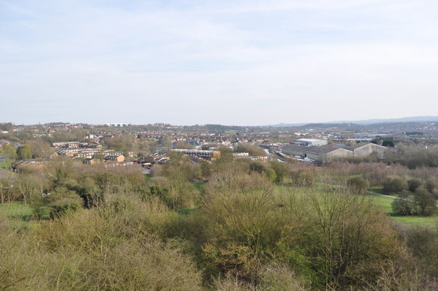
Netherton, West Midlands
Netherton is an area of the Metropolitan Borough of Dudley, 1.5 miles (2 km) south of Dudley town centre in the West Midlands of England, but historically...
Nearby Amenities
Located within 500m of 52.486043,-2.070493Have you been to Darby End?
Leave your review of Darby End below (or comments, questions and feedback).