Mouse Sweet

Settlement in Staffordshire

England

Mouse Sweet

Cobb's Engine House A view of the scheduled ancient monument, one of the earliest pumps. Due to a fault (geological) the mine here produced vast quantities of water. This engine pumped it into the canal. The overgrown spoil heap is to the right. 
The mine produced coal and fireclay (seat earth).
Cobb's Engine House Credit: Ashley Dace

Mouse Sweet is a small village located in the county of Staffordshire, England. Situated in the West Midlands region, it lies approximately 5 miles northwest of the town of Stafford. With a population of around 500 residents, it is a close-knit community nestled amidst the picturesque countryside.

The village is known for its charming, traditional architecture, with many houses dating back several centuries. The quaint cottages and stone-built houses add to the overall charm and character of Mouse Sweet, creating a pleasant and inviting atmosphere.

Despite its small size, the village offers a range of amenities for its residents. These include a local pub, a village hall, and a small convenience store that caters to the daily needs of the community. The village hall serves as a hub for various community events and gatherings, providing a space for residents to socialize and engage in recreational activities.

Surrounded by rolling hills and lush green fields, Mouse Sweet is a haven for nature lovers and outdoor enthusiasts. The village is situated near several walking trails and footpaths, allowing residents and visitors alike to explore the stunning countryside and enjoy the tranquility of the area.

Overall, Mouse Sweet offers a peaceful and idyllic setting for those seeking a retreat from the hustle and bustle of city life. Its rich history, friendly community, and beautiful surroundings make it a truly charming place to live or visit in Staffordshire.

If you have any feedback on the listing, please let us know in the comments section below.
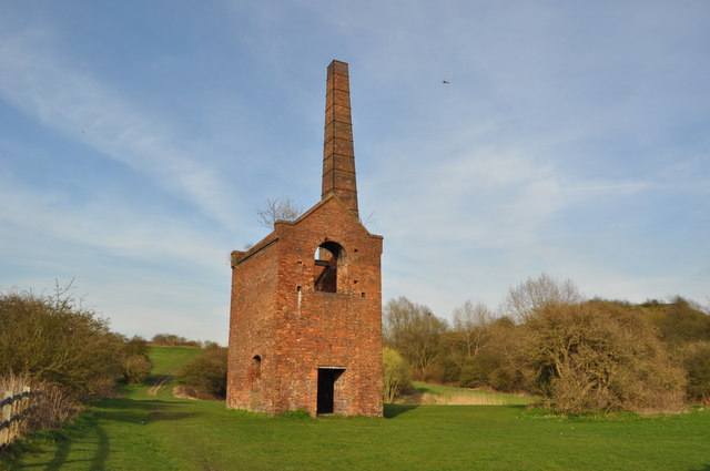
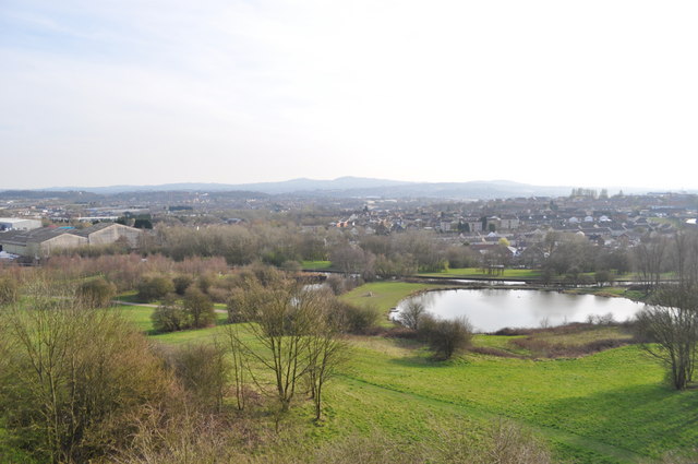
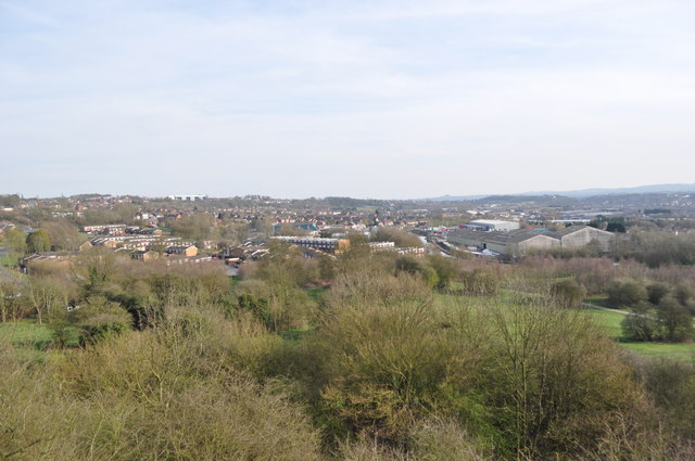
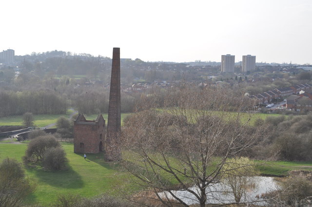
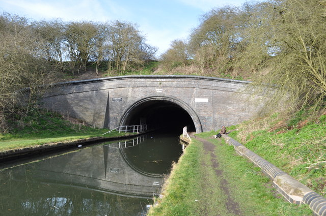
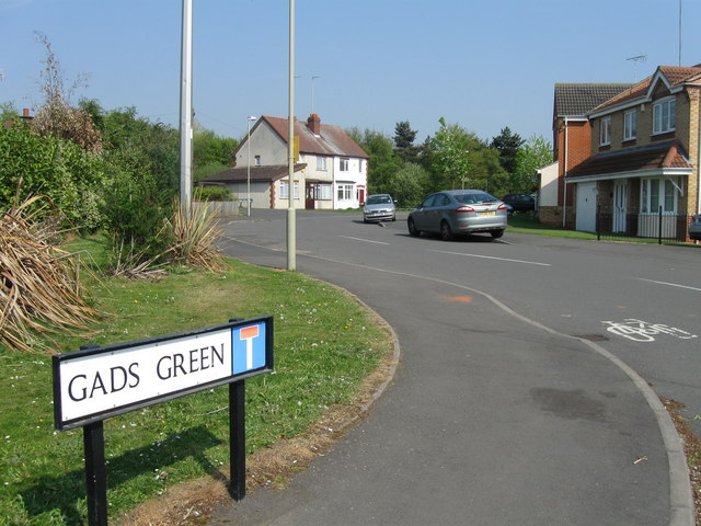
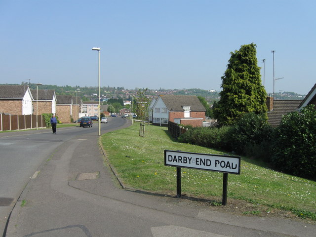
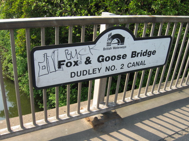
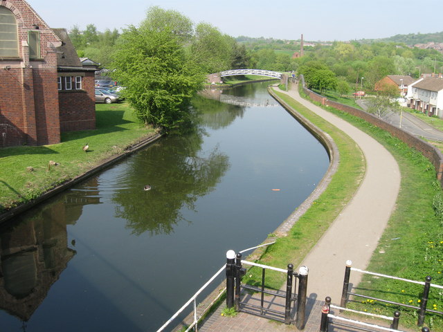
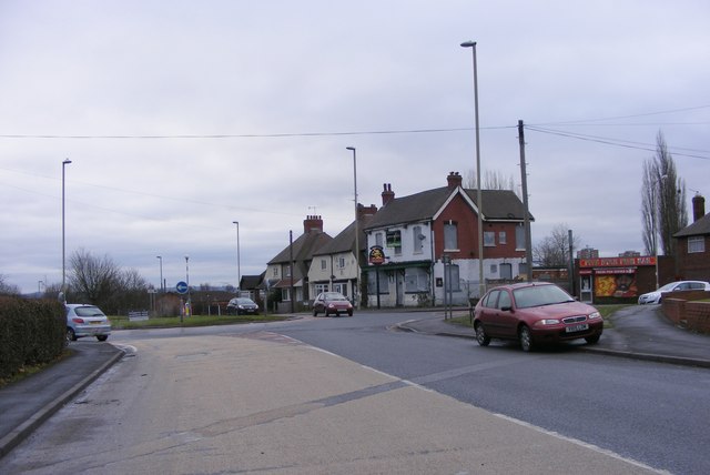
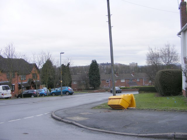
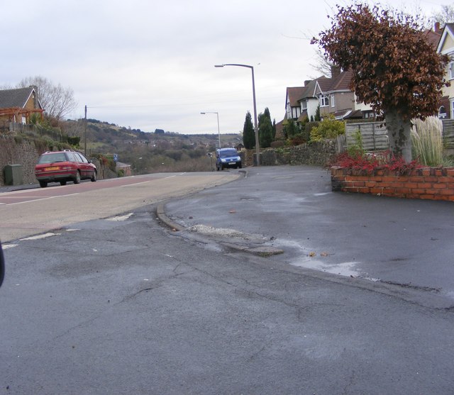
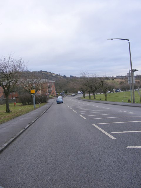
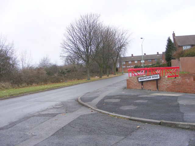
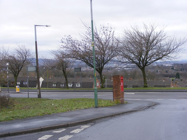
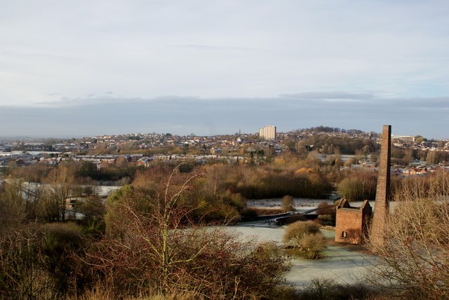
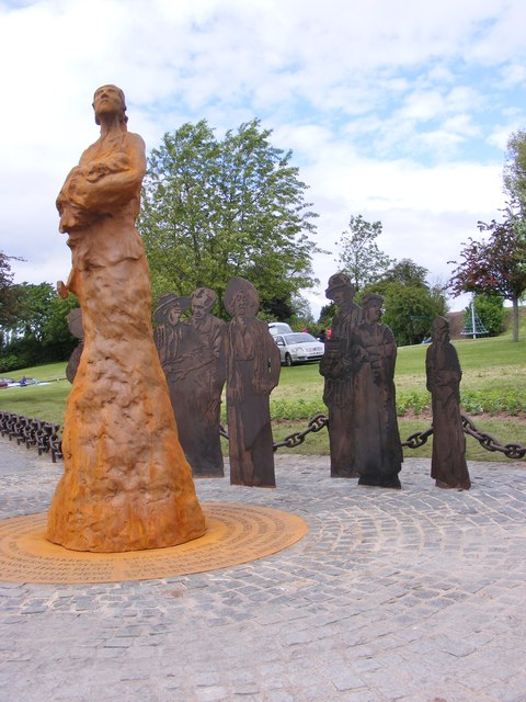
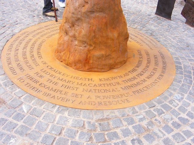
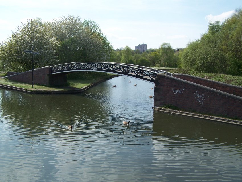
Mouse Sweet Images

Images are sourced within 2km of 52.482223/-2.069176 or Grid Reference SO9587. Thanks to Geograph Open Source API. All images are credited.

Cobb's Engine House A view of the scheduled ancient monument, one of the earliest pumps. Due to a fault (geological) the mine here produced vast quantities of water. This engine pumped it into the canal. The overgrown spoil heap is to the right. 
The mine produced coal and fireclay (seat earth).
Cobb's Engine House
A view of the scheduled ancient monument, one of the earliest pumps. Due to a fault (geological) the mine here produced vast quantities of water. This engine pumped it into the canal. The overgrown spoil heap is to the right. The mine produced coal and fireclay (seat earth).
View from the spoil heap An ex colliery spoil heap.
View from the spoil heap
An ex colliery spoil heap.
View from the spoil heap An ex colliery spoil heap. <a href="https://www.geograph.org.uk/photo/2324618">SO9588 : View from the spoil heap</a>
View from the spoil heap
An ex colliery spoil heap. SO9588 : View from the spoil heap
Cobb's Engine House A view of the schedules ancient monument, one of the earliest pumps. Due to a fault (geological) the mine here produced vast quantities of water. This engine pumped it into the canal. The overgrown spoil heap is to the right.
The mine produced coal and fireclay (seat earth).
<a href="https://www.geograph.org.uk/photo/2324610">SO9588 : Cobb's Engine House</a>
Cobb's Engine House
A view of the schedules ancient monument, one of the earliest pumps. Due to a fault (geological) the mine here produced vast quantities of water. This engine pumped it into the canal. The overgrown spoil heap is to the right. The mine produced coal and fireclay (seat earth). SO9588 : Cobb's Engine House
Netherton Canal Tunnel The last tunnel built at a cost of over £300,000 it opened on the 20th of August 1858. It was built with two tow paths and wide enough for two boats. Thus it eased congestion in the narrow Dudley tunnel that had to be legged through. It's over 2.5km long, straight and now unlit. Take a torch!

<a href="https://www.geograph.org.uk/photo/2324578">SO9690 : Netherton Tunnel</a> <a href="https://www.geograph.org.uk/photo/2324567">SO9690 : Netherton Tunnel</a> <a href="https://www.geograph.org.uk/photo/2324592">SO9689 : Netherton Tunnel</a> <a href="https://www.geograph.org.uk/photo/2324587">SO9689 : Netherton Tunnel</a> <a href="https://www.geograph.org.uk/photo/2324559">SO9690 : Netherton Tunnel</a>
Netherton Canal Tunnel
The last tunnel built at a cost of over £300,000 it opened on the 20th of August 1858. It was built with two tow paths and wide enough for two boats. Thus it eased congestion in the narrow Dudley tunnel that had to be legged through. It's over 2.5km long, straight and now unlit. Take a torch! SO9690 : Netherton Tunnel SO9690 : Netherton Tunnel SO9689 : Netherton Tunnel SO9689 : Netherton Tunnel SO9690 : Netherton Tunnel
Gads Green, Sandwell
Darby End Road, Darby End
Fox & Goose bridge, Dudley No 2 Canal
Dudley No 2 Canal
Dudley No 2 Canal
Lister Road View The roundabout on the junction with Buffery Road and St Peter's Road, Dudley.
Lister Road View
The roundabout on the junction with Buffery Road and St Peter's Road, Dudley.
Sledmore Road View The junction with Warrens Hall Road, Dudley.
Sledmore Road View
The junction with Warrens Hall Road, Dudley.
Warrens Hall Road View The view of New Rowley Road and Rowley Hill, Dudley.
Warrens Hall Road View
The view of New Rowley Road and Rowley Hill, Dudley.
New Rowley Road Camera The view of the Speed camera next to Tansley Hill, Dudley.
New Rowley Road Camera
The view of the Speed camera next to Tansley Hill, Dudley.
Heathcliff Road View The view up Uplands Road on Tansley Hill, Dudley.
Heathcliff Road View
The view up Uplands Road on Tansley Hill, Dudley.
Uplands Road Post box The view from the Tansley Hill road in Dudley.
Uplands Road Post box
The view from the Tansley Hill road in Dudley.
Warrens Hall in Winter Bumble Hole & Warrens Hall Park Nature Reserve, Dudley, West Midlands.
Viewed from top of spoil heap: 'man made' contour/deposit recycled by 'nature'.
With Cobb's Engine House and Chimney bottom right foreground. 
Netherton Church in the trees on Netherton Hill right middle distance.
Windmill End Junction, middle foreground and Clent Hills left middle distance.
Warrens Hall in Winter
Bumble Hole & Warrens Hall Park Nature Reserve, Dudley, West Midlands. Viewed from top of spoil heap: 'man made' contour/deposit recycled by 'nature'. With Cobb's Engine House and Chimney bottom right foreground. Netherton Church in the trees on Netherton Hill right middle distance. Windmill End Junction, middle foreground and Clent Hills left middle distance.
Mary Macarthur Monument The view of the sculptures unveiled Saturday 9th June in Mary Macarthur Park, Cradley Heath. The 10ft steel artwork was created by sculptor Luke Perry from Stourbridge. The artwork commemorates the 1910 female chainmakers' dispute in which 800 women went on strike for a national minimum wage.
Mary Macarthur Monument
The view of the sculptures unveiled Saturday 9th June in Mary Macarthur Park, Cradley Heath. The 10ft steel artwork was created by sculptor Luke Perry from Stourbridge. The artwork commemorates the 1910 female chainmakers' dispute in which 800 women went on strike for a national minimum wage.
Mary Macarthur Detail The view of the sculpture unveiled Saturday 9th June in Mary Macarthur Park, Cradley Heath. The 10ft steel artwork was created by sculptor Luke Perry from Stourbridge. The artwork commemorates the 1910 female chainmakers' dispute in which 800 women went on strike for a national minimum wage.
Mary Macarthur Detail
The view of the sculpture unveiled Saturday 9th June in Mary Macarthur Park, Cradley Heath. The 10ft steel artwork was created by sculptor Luke Perry from Stourbridge. The artwork commemorates the 1910 female chainmakers' dispute in which 800 women went on strike for a national minimum wage.
Show me another place!

Mouse Sweet is located at Grid Ref: SO9587 (Lat: 52.482223, Lng: -2.069176)

Unitary Authority: Sandwell

Police Authority: West Midlands

What 3 Words

///oath.hands.wings. Near Netherton, West Midlands

Related Wikis

Darby End railway station

Darby End Halt was a station on the former Great Western Railway's Bumble Hole Line between Blowers Green and Old Hill. It opened in 1905 and closed...

Old Hill High Street railway station

Old Hill High Street railway station was a station on the former Great Western Railway's Bumble Hole Line between Blowers Green and Old Hill. It was the...

Ormiston Forge Academy

Ormiston Forge Academy (formerly Heathfield Foundation Technology College and Heathfield High School) is a secondary school and sixth form with academy...

Old Hill

Old Hill is a village in Rowley Regis in the metropolitan borough of Sandwell in the West Midlands, England, situated around 2 miles (3.2 km) north of...

Windmill End railway station

Windmill End railway station was a station on the former Great Western Railway's Bumble Hole Line between Blowers Green and Old Hill. It opened in 1878...

Bumble Hole line

The Bumble Hole line was a short railway located in Central England. It opened in 1878 to give Dudley a direct railway link with Old Hill, over a distance...

Bumble Hole Branch Canal

The present day Bumble Hole Branch Canal and Boshboil Branch surround Bumble Hole, a water-filled clay pit, in Bumble Hole and Warren's Hall Nature Reserve...

Bumble Hole Local Nature Reserve

Bumble Hole Local Nature Reserve is situated in the Netherton area of Dudley Metropolitan Borough in the county of West Midlands, England. This former...

Nearby Amenities

Located within 500m of 52.482223,-2.069176
Rowley Regis
Is In County: West Midlands
Is In District: Dudley
Place: town
Wikidata: Q2571152
Wikipedia: en:Rowley Regis
Lat/Long: 52.4833326/-2.0674067
Bus Stop
Saltwells Rd / Halesowen Rd
NaPTANAreaCode: 43000880301
Bus: yes
Naptan AtcoCode: 43000880301
Naptan Bearing: NE
Naptan BusStopType: MKD
Naptan CommonName: Halesowen Rd
Naptan Indicator: adj
Naptan Landmark: Aldi Supermarket
Naptan NaptanCode: nwmpamdg
Naptan PlusbusZoneRef: BHAMNWS
Naptan Status: ACT
Naptan StopType: BCT
Naptan Street: SALTWELLS RD
Naptan Towards: Dudley
Public Transport: platform
Route Ref: 276
Shelter: yes
Shelter Ref: 0880301
Source: WMCA
Lat/Long: 52.4837051/-2.0758053
Bus Stop
Saltwells Rd / Halesowen Rd
NaPTANAreaCode: 43000880302
Bus: yes
Naptan AtcoCode: 43000880302
Naptan Bearing: SW
Naptan BusStopType: MKD
Naptan CommonName: Halesowen Rd
Naptan Indicator: adj
Naptan Landmark: Aldi Supermarket
Naptan NaptanCode: nwmpamdj
Naptan PlusbusZoneRef: BHAMNWS
Naptan Status: ACT
Naptan StopType: BCT
Naptan Street: SALTWELLS RD
Naptan Towards: Merry Hill
Naptan Verified: no
Public Transport: platform
Route Ref: 276
Shelter: yes
Shelter Ref: 406911
Source: WMCA
Lat/Long: 52.4839373/-2.0751486
Bus Stop
Cole St / Worcester Rd
Bench: no
Bin: yes
Bus: yes
Lit: no
Naptan AtcoCode: 43000887101
Naptan Bearing: NE
Naptan BusStopType: MKD
Naptan CommonName: Worcester Rd
Naptan Indicator: opp
Naptan NaptanCode: nwmdjwma
Naptan PlusbusZoneRef: BHAMNWS
Naptan Status: ACT
Naptan StopType: BCT
Naptan Street: COLE ST
Naptan Towards: Dudley
Public Transport: platform
Route Ref: 208;276
Shelter: no
Source: WMCA
Tactile Paving: no
Lat/Long: 52.4850477/-2.0732776
Bus Stop
Cole St / Worcester Rd
Bench: no
Bin: yes
Bus: yes
Lit: yes
Naptan AtcoCode: 43000887102
Naptan Bearing: SW
Naptan BusStopType: MKD
Naptan CommonName: Worcester Rd
Naptan Indicator: adj
Naptan NaptanCode: nwmdjwmd
Naptan PlusbusZoneRef: BHAMNWS
Naptan Status: ACT
Naptan StopType: BCT
Naptan Street: COLE ST
Naptan Towards: Merry Hill
Public Transport: platform
Route Ref: 208;276
Shelter: yes
Source: WMCA
Tactile Paving: no
Lat/Long: 52.4855696/-2.0724832
Bus Stop
Halesowen Rd / Saltwells Rd
NaPTANAreaCode: 43000887203
Bus: yes
Naptan AtcoCode: 43000887203
Naptan Bearing: NW
Naptan BusStopType: MKD
Naptan CommonName: Saltwells Rd
Naptan Indicator: adj
Naptan Landmark: Aldi
Naptan NaptanCode: nwmdjwmg
Naptan PlusbusZoneRef: BHAMNWS
Naptan Status: ACT
Naptan StopType: BCT
Naptan Street: HALESOWEN RD
Naptan Towards: Dudley
Naptan Verified: no
Public Transport: platform
Route Ref: 208;243;244
Shelter: yes
Shelter Ref: 406907
Source: WMCA
Lat/Long: 52.483928/-2.0737907
Bus Stop
Halesowen Rd / Saltwells Rd
NaPTANAreaCode: 43000887204
Bus: yes
Naptan AtcoCode: 43000887204
Naptan Bearing: SE
Naptan BusStopType: MKD
Naptan CommonName: Saltwells Rd
Naptan Indicator: opp
Naptan Landmark: Aldi
Naptan NaptanCode: nwmdjwmj
Naptan PlusbusZoneRef: BHAMNWS
Naptan Status: ACT
Naptan StopType: BCT
Naptan Street: HALESOWEN RD
Naptan Towards: Old Hill
Naptan Verified: no
Public Transport: platform
Route Ref: 208;243;244
Shelter: yes
Shelter Ref: 406908
Source: WMCA
Lat/Long: 52.4841115/-2.0737346
Bus Stop
Halesowen Rd / Molyneux Rd
Bus: yes
Naptan AtcoCode: 43000887301
Naptan Bearing: SE
Naptan BusStopType: MKD
Naptan CommonName: Molyneux Rd
Naptan Indicator: opp
Naptan Landmark: The Moot Meet
Naptan NaptanCode: nwmdjwmp
Naptan PlusbusZoneRef: BHAMNWS
Naptan Status: ACT
Naptan StopType: BCT
Naptan Street: HALESOWEN RD
Naptan Towards: Old Hill
Public Transport: platform
Route Ref: 208;243;244
Shelter: no
Source: WMCA
Lat/Long: 52.4824595/-2.0716535
Bus Stop
Halesowen Rd / Molyneux Rd
NaPTANAreaCode: 43000887302
Bus: yes
Naptan AtcoCode: 43000887302
Naptan Bearing: NW
Naptan BusStopType: MKD
Naptan CommonName: Molyneux Rd
Naptan Indicator: adj
Naptan Landmark: The Moot Meet
Naptan NaptanCode: nwmdjwmt
Naptan PlusbusZoneRef: BHAMNWS
Naptan Status: ACT
Naptan StopType: BCT
Naptan Street: HALESOWEN RD
Naptan Towards: Dudley
Public Transport: platform
Route Ref: 208;243;244
Shelter: yes
Shelter Ref: 306908
Source: WMCA
Lat/Long: 52.4819813/-2.0712453
Bus Stop
Halesowen Rd / Cox'S Lane
Bench: no
Bin: no
Bus: yes
Naptan AtcoCode: 43000905401
Naptan Bearing: S
Naptan BusStopType: MKD
Naptan CommonName: Cox's Lane
Naptan Indicator: adj
Naptan NaptanCode: nwmdmagw
Naptan PlusbusZoneRef: BHAMNWS
Naptan Status: ACT
Naptan StopType: BCT
Naptan Street: HALESOWEN RD
Naptan Towards: Halesowen, Cradley Heath
Public Transport: platform
Route Ref: 208;243;244;289
Shelter: no
Source: WMCA
Towards: Cradley Heath
Lat/Long: 52.4795054/-2.0682266
Bus Stop
Halesowen Rd / Cox'S Lane
Bench: no
Bin: no
Bus: yes
Naptan AtcoCode: 43000905402
Naptan Bearing: N
Naptan BusStopType: MKD
Naptan CommonName: Cox's Lane
Naptan Indicator: opp
Naptan NaptanCode: nwmdmaja
Naptan PlusbusZoneRef: BHAMNWS
Naptan Status: ACT
Naptan StopType: BCT
Naptan Street: HALESOWEN RD
Naptan Towards: Dudley
Public Transport: platform
Route Ref: 208;243;244;289
Shelter: no
Source: WMCA
Towards: Rowley Regis
Lat/Long: 52.4797061/-2.0683542
Bus Stop
Gawne Lane / Brooksbank Drive
NaPTANAreaCode: 43000908001
Asset Ref: 306927
Bus: yes
Naptan AtcoCode: 43000908001
Naptan Bearing: SE
Naptan BusStopType: MKD
Naptan CommonName: Brooksbank Drive
Naptan Indicator: adj
Naptan NaptanCode: nwmtjdtm
Naptan PlusbusZoneRef: BHAMNWS
Naptan Status: ACT
Naptan StopType: BCT
Naptan Street: GAWNE LANE
Naptan Towards: Rowley Regis
Public Transport: platform
Route Ref: 208
Shelter: yes
Shelter Ref: 306927
Source: WMCA
Lat/Long: 52.4853435/-2.06658
Bus Stop
Gawne Lane / Brooksbank Drive
NaPTANAreaCode: 43000908002
Asset Ref: 306928
Bus: yes
Naptan AtcoCode: 43000908002
Naptan Bearing: NW
Naptan BusStopType: MKD
Naptan CommonName: Brooksbank Drive
Naptan Indicator: opp
Naptan NaptanCode: nwmtjdtp
Naptan PlusbusZoneRef: BHAMNWS
Naptan Status: ACT
Naptan StopType: BCT
Naptan Street: GAWNE LANE
Naptan Towards: Cradley Heath
Public Transport: platform
Route Ref: 208
Shelter: yes
Shelter Ref: 306928
Source: WMCA
Towards: Merry Hill
Lat/Long: 52.485608/-2.0673129
Bus Stop
Coxs Lane / Powke Lane
Bus: yes
Naptan AtcoCode: 43000908401
Naptan Bearing: SW
Naptan BusStopType: MKD
Naptan CommonName: Powke Lane
Naptan Indicator: after
Naptan Landmark: The White Lion
Naptan NaptanCode: nwmpatjw
Naptan PlusbusZoneRef: BHAMNWS
Naptan Status: ACT
Naptan StopType: BCT
Naptan Street: COXS LANE
Naptan Towards: Cradley Heath
Public Transport: platform
Route Ref: 289
Shelter: no
Source: WMCA
Towards: Cradley Heath
Lat/Long: 52.4815909/-2.0636154
Bus Stop
Coxs Lane / Powke Lane
Bus: yes
Naptan AtcoCode: 43000908402
Naptan Bearing: NE
Naptan BusStopType: MKD
Naptan CommonName: Powke Lane
Naptan Indicator: bef
Naptan Landmark: White Lion
Naptan NaptanCode: nwmtwpdt
Naptan PlusbusZoneRef: BHAMNWS
Naptan Status: ACT
Naptan StopType: BCT
Naptan Street: COXS LANE
Naptan Towards: Blackheath
Public Transport: platform
Route Ref: 289
Shelter: no
Source: WMCA
Towards: Dudley
Lat/Long: 52.4819242/-2.0631772
Bus Stop
Doulton Rd / Westley Works
Bus: yes
Naptan AtcoCode: 43000908502
Naptan Bearing: NE
Naptan BusStopType: MKD
Naptan CommonName: Westley Works
Naptan Indicator: adj
Naptan NaptanCode: nwmdmamt
Naptan PlusbusZoneRef: BHAMNWS
Naptan Status: ACT
Naptan StopType: BCT
Naptan Street: DOULTON RD
Naptan Towards: Blackheath
Public Transport: platform
Route Ref: 289
Shelter: no
Source: WMCA
Towards: Black Heath
Lat/Long: 52.4843854/-2.0642671
Bus Stop
Halesowen Rd / Old Hill Cross
NaPTANAreaCode: 43009200104
Asset Ref: 306909
Bench: yes
Bin: yes
Bus: yes
Lit: yes
Naptan AtcoCode: 43009200104
Naptan Bearing: N
Naptan BusStopType: MKD
Naptan CommonName: Old Hill Cross
Naptan Indicator: after
Naptan NaptanCode: nwmdpadp
Naptan PlusbusZoneRef: BHAMNWS
Naptan Status: ACT
Naptan StopType: BCT
Naptan Street: HALESOWEN RD
Naptan Towards: Dudley
Public Transport: platform
Route Ref: 208;243;244;289
Shelter: yes
Shelter Ref: 306909
Source: WMCA
Tactile Paving: no
Towards: Dudley;Rowley Regis
Lat/Long: 52.4785869/-2.0685244
Bar
The Regis Banqueting & Conference Centre
Source: survey
Lat/Long: 52.4778817/-2.0696743
Shop: hairdresser
Lat/Long: 52.478035/-2.0686872
Barrier: bollard
Source: survey
Lat/Long: 52.4784707/-2.071496
Post Box
Postal Code: B64
Ref: B64 1128
Source: GPS Survey
Lat/Long: 52.4820333/-2.0629937
Fast Food
Sea Wave Fish Bar
Addr Housenumber: 142
Addr Postcode: B64 5LP
Addr Street: Halesowen Road
Cuisine: fish_and_chips
Fhrs Id: 189954
Source: survey
Source Addr: FHRS Open Data
Lat/Long: 52.478402/-2.0686771
Post Box
Collection Times: Mo-Fr 09:00, Sa 07:00
Postal Code: B64
Ref: B64 1130
Royal Cypher: EIIR
Royal Cypher Wikidata: Q33102113
Source: GPS Survey
Lat/Long: 52.4786555/-2.0685338
Man Made: surveillance
Source: survey
Lat/Long: 52.4788089/-2.068368
Brand: National Grid
Brand Wikidata: Q1465461
Operator: National Grid Electricity Distribution Plc
Operator Old: Western Power Distribution
Operator Wikidata: Q7988183
Owner: National Grid Electricity Distribution (West Midlands) Plc
Owner Wikidata: Q114397791
Power: substation
Source: survey
Lat/Long: 52.4786197/-2.0692781
Speed Camera
Source: survey
Lat/Long: 52.485714/-2.0674834
Barrier: bollard
Source: survey
Lat/Long: 52.4845865/-2.0704916
Barrier: cycle_barrier
Source: survey
Lat/Long: 52.4791583/-2.0735193
Crossing
Crossing: uncontrolled
Crossing Island: no
Source: survey
Tactile Paving: yes
Lat/Long: 52.4853635/-2.0727045
Grit Bin
Source: survey
Lat/Long: 52.4853662/-2.0724674
Barrier: bollard
Source: survey
Lat/Long: 52.484305/-2.0708086
Barrier: bollard
Source: survey
Lat/Long: 52.4853087/-2.0686019
Barrier: bollard
Source: survey
Lat/Long: 52.4789499/-2.0736346
Post Box
Fixme: resurvey to determine ref number when plate restored
Note: plate removed
Post Box Type: pillar
Lat/Long: 52.4821085/-2.0720672
Barrier: bollard
Source: survey
Lat/Long: 52.4805463/-2.0746312
Barrier: bollard
Source: OS_OpenData_StreetView
Lat/Long: 52.479393/-2.0730964
Barrier: bollard
Source: survey
Lat/Long: 52.4816041/-2.070728
Barrier: bollard
Source: survey
Lat/Long: 52.480173/-2.0727326
Barrier: bollard
Source: survey
Lat/Long: 52.4814146/-2.0712918
Barrier: cycle_barrier
Source: survey
Lat/Long: 52.4824009/-2.0734158
Crossing
Crossing: traffic_signals
Source: survey
Lat/Long: 52.4829696/-2.072409
Turning Circle
Source: survey
Lat/Long: 52.4813475/-2.0756478
Barrier: bollard
Source: survey
Lat/Long: 52.4829602/-2.0725992
Crossing
Crossing: uncontrolled
Tactile Paving: yes
Lat/Long: 52.4780978/-2.068371
Rock Batteries
Shop: electronics
Lat/Long: 52.4777331/-2.0691161
Nightclub
Regis Hall and Resturant
Lat/Long: 52.4778436/-2.0696676
Print and Copy
Shop: printing
Lat/Long: 52.4780864/-2.0686764
Playstation Centre
Shop: hifi
Lat/Long: 52.4781419/-2.0686925
Ashtons Accountants
Shop: accountant
Lat/Long: 52.4782122/-2.068679
Hinton and Sinclair Photo Studio
Shop: photography
Lat/Long: 52.4782563/-2.0686871
Sun Trap Tanning Salon
Shop: hairdresser
Lat/Long: 52.4784997/-2.0686495
Kindergarten
Tick Tock Day Nursery
Addr Housenumber: 134
Addr Postcode: B64 5LS
Addr Street: Halesowen Road
Fhrs Id: 509591
Source Addr: FHRS Open Data
Lat/Long: 52.4785667/-2.0686683
Dentist
Mucklow Homer Dental Surgeons
Healthcare: dentist
Lat/Long: 52.4791745/-2.0681676
Cozy Carpets
Shop: carpet
Lat/Long: 52.4825444/-2.0713237
Central House Fitness centre
Leisure: sports_centre
Lat/Long: 52.4828008/-2.0717073
Crossing
Crossing: uncontrolled
Source: bing
Lat/Long: 52.4862597/-2.06793
Barrier: lift_gate
Lat/Long: 52.4843429/-2.0641963
Generator Method: photovoltaic
Generator Output Electricity: yes
Generator Source: solar
Generator Type: solar_photovoltaic_panel
Location: roof
Power: generator
Lat/Long: 52.4862806/-2.0669907
Generator Method: photovoltaic
Generator Output Electricity: yes
Generator Source: solar
Generator Type: solar_photovoltaic_panel
Location: roof
Power: generator
Lat/Long: 52.4809768/-2.0654136
Generator Method: photovoltaic
Generator Output Electricity: yes
Generator Source: solar
Generator Type: solar_photovoltaic_panel
Location: roof
Power: generator
Lat/Long: 52.4816351/-2.0659018
Generator Method: photovoltaic
Generator Output Electricity: yes
Generator Source: solar
Generator Type: solar_photovoltaic_panel
Location: roof
Power: generator
Lat/Long: 52.4813509/-2.0659205
Generator Method: photovoltaic
Generator Output Electricity: yes
Generator Source: solar
Generator Type: solar_photovoltaic_panel
Location: roof
Power: generator
Lat/Long: 52.4810095/-2.066744
Generator Method: photovoltaic
Generator Output Electricity: yes
Generator Source: solar
Generator Type: solar_photovoltaic_panel
Location: roof
Power: generator
Lat/Long: 52.48082/-2.0673206
Generator Method: photovoltaic
Generator Output Electricity: yes
Generator Source: solar
Generator Type: solar_photovoltaic_panel
Location: roof
Power: generator
Lat/Long: 52.4785412/-2.0663255
Generator Method: photovoltaic
Generator Output Electricity: yes
Generator Source: solar
Generator Type: solar_photovoltaic_panel
Location: roof
Power: generator
Lat/Long: 52.4785706/-2.0662263
Generator Method: photovoltaic
Generator Output Electricity: yes
Generator Source: solar
Generator Type: solar_photovoltaic_panel
Location: roof
Power: generator
Lat/Long: 52.4798023/-2.0649093
Generator Method: photovoltaic
Generator Output Electricity: yes
Generator Source: solar
Generator Type: solar_photovoltaic_panel
Location: roof
Power: generator
Lat/Long: 52.480098/-2.0649898
Generator Method: photovoltaic
Generator Output Electricity: yes
Generator Source: solar
Generator Type: solar_photovoltaic_panel
Location: roof
Power: generator
Lat/Long: 52.4800277/-2.0653224
The data included in this document is from www.openstreetmap.org. The data is made available under ODbL.

Have you been to Mouse Sweet?

Leave your review of Mouse Sweet below (or comments, questions and feedback).