Mousley End

Settlement in Warwickshire Warwick

England

Mousley End

Grand Union Canal near Turner's Green
Grand Union Canal near Turner's Green Credit: Mark Percy

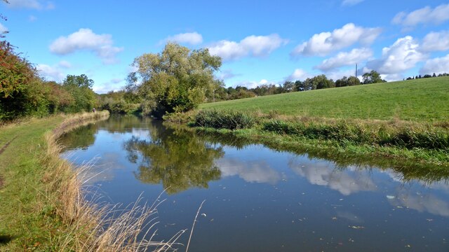
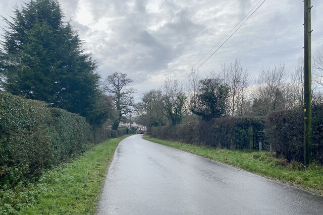
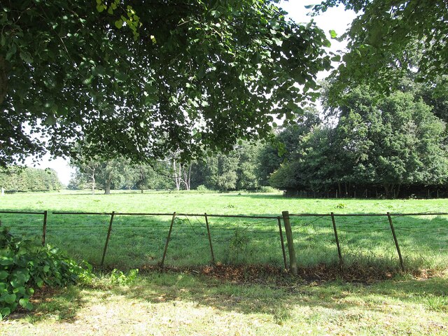
Mousley End is a small village located in Warwickshire, England. Situated approximately 4 miles southwest of the town of Kenilworth, it is nestled in the picturesque Warwickshire countryside. The village is surrounded by rolling hills, green fields, and charming rural landscapes.

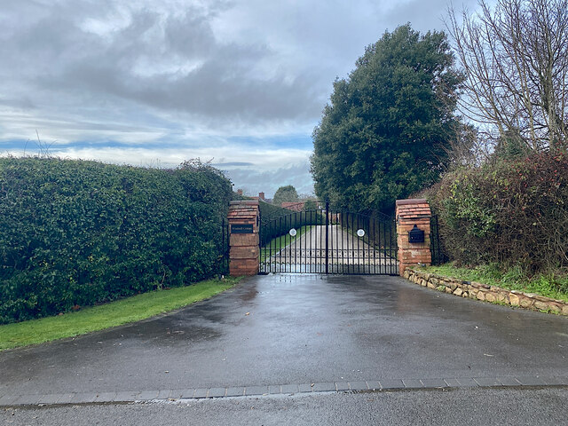
With a population of around 300 residents, Mousley End exudes a quaint and peaceful atmosphere. The village consists mainly of traditional cottages and houses, some of which date back several centuries, giving it a distinct historical charm. The architecture of the buildings reflects the region's rich heritage and adds to the village's overall character.

Mousley End benefits from its proximity to several notable landmarks and attractions. The nearby Kenilworth Castle, a medieval fortress, is a popular tourist destination and offers visitors a glimpse into the area's fascinating history. Additionally, the village is within easy reach of the beautiful Warwickshire countryside, providing ample opportunities for outdoor activities such as hiking, cycling, and horseback riding.

While Mousley End is predominantly residential, it does have a few amenities to cater to its residents' needs. These include a local pub, a community center, and a small convenience store. For more extensive shopping and entertainment options, residents can easily access nearby towns and cities such as Kenilworth, Leamington Spa, and Coventry, all within a short drive.

Overall, Mousley End offers its residents a tranquil and idyllic lifestyle in a charming rural setting, while still providing convenient access to nearby amenities and attractions.

If you have any feedback on the listing, please let us know in the comments section below.
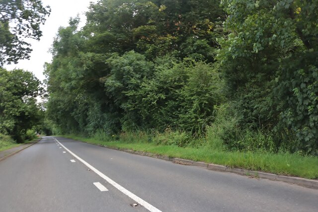
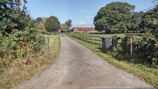
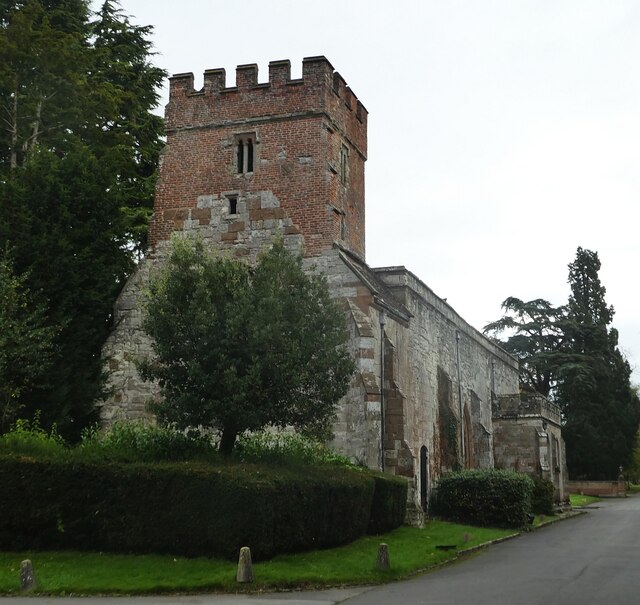
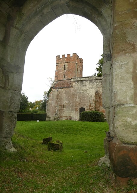
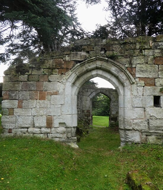
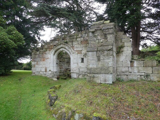
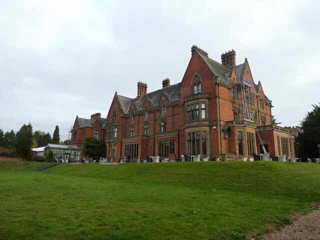
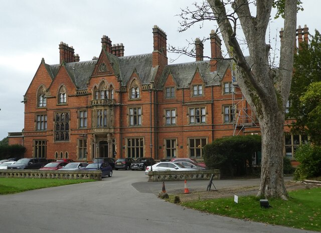
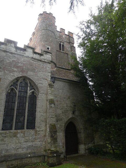
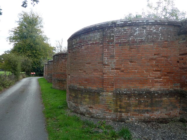
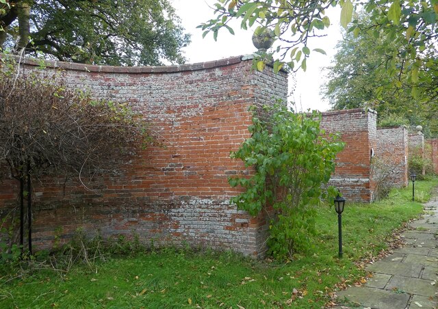
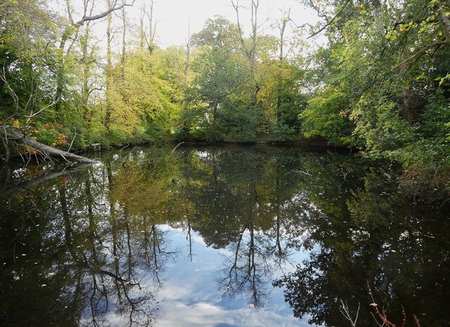
Mousley End Images

Images are sourced within 2km of 52.32279/-1.686717 or Grid Reference SP2169. Thanks to Geograph Open Source API. All images are credited.

Grand Union Canal near Turner's Green
Southwest on Finwod Road Finwood Road turns south from the Old Warwick Road for Turner's Green, ahead, and Lowsonford.
Southwest on Finwod Road
Finwood Road turns south from the Old Warwick Road for Turner's Green, ahead, and Lowsonford.
Gates to Windmill Cottage, Turner's Green An entrance on Finwood Road. Old maps show Windmill House here and a circular feature where a windmill  might have been. This is the same relatively high ground as the Rowington Mill site <a href="https://www.geograph.org.uk/photo/7378320">SP2070 : Rowington Mill, Rowington Green</a>.
Gates to Windmill Cottage, Turner's Green
An entrance on Finwood Road. Old maps show Windmill House here and a circular feature where a windmill might have been. This is the same relatively high ground as the Rowington Mill site SP2070 : Rowington Mill, Rowington Green.
Wroxall Abbey Estate Farmland near the Lodge.
Wroxall Abbey Estate
Farmland near the Lodge.
Birmingham Road approaching Five Ways
Path up to Green Farm Path and drive up to Green Farm
Path up to Green Farm
Path and drive up to Green Farm
Wroxall Abbey - Church of St Leonard Dating originally from c.1315 with the west tower (seen prominently here) added in c.1663. It takes its dedication from the former St Leonard's priory, the ruins of which lie to its south. The church is to the east of the C19th Wroxall Abbey which was never actually an abbey. See shared description below for more information and links.
Wroxall Abbey - Church of St Leonard
Dating originally from c.1315 with the west tower (seen prominently here) added in c.1663. It takes its dedication from the former St Leonard's priory, the ruins of which lie to its south. The church is to the east of the C19th Wroxall Abbey which was never actually an abbey. See shared description below for more information and links.
Wroxall Abbey - St Leonard's church through priory arch Taken from inside the ruins of St Leonard's Priory looking through its northern arch to the tower of St Leonard's church. See shared description for more information.
Wroxall Abbey - St Leonard's church through priory arch
Taken from inside the ruins of St Leonard's Priory looking through its northern arch to the tower of St Leonard's church. See shared description for more information.
Wroxall Abbey - Arches of ruined St Leonard's priory Looking through the northern arch of part of the ruins of St Leonard's Priory (probably the former frater) through to the arch in its southern wall.
See also <a href="https://www.geograph.org.uk/photo/7006464">SP2270 : Wroxall Abbey - St Leonard's Priory ruins (frater)</a>
and <a href="https://www.geograph.org.uk/photo/7006832">SP2270 : Wroxall Abbey - St Leonard's Priory ruins (chapter house)</a>
and <a href="https://www.geograph.org.uk/photo/7006840">SP2270 : Wroxall Abbey - St Leonard's Priory ruins (both parts)</a>
and shared description below.
Wroxall Abbey - Arches of ruined St Leonard's priory
Looking through the northern arch of part of the ruins of St Leonard's Priory (probably the former frater) through to the arch in its southern wall. See also SP2270 : Wroxall Abbey - St Leonard's Priory ruins (frater) and SP2270 : Wroxall Abbey - St Leonard's Priory ruins (chapter house) and SP2270 : Wroxall Abbey - St Leonard's Priory ruins (both parts) and shared description below.
Wroxall Abbey - St Leonard's Priory ruins (frater) There are two main clumps of ruins of St Leonard's Priory at Wroxall Abbey - this is the most complete which lies to the WSW of the other remains (see <a href="https://www.geograph.org.uk/photo/7006832">SP2270 : Wroxall Abbey - St Leonard's Priory ruins (chapter house)</a>). It is thought that part of this ruin is the former priory frater, with a screens passage to the eastern end.
See also <a href="https://www.geograph.org.uk/photo/7006459">SP2270 : Wroxall Abbey - Arches of ruined St Leonard's priory</a>
and <a href="https://www.geograph.org.uk/photo/7006840">SP2270 : Wroxall Abbey - St Leonard's Priory ruins (both parts)</a>
and shared description below.
Wroxall Abbey - St Leonard's Priory ruins (frater)
There are two main clumps of ruins of St Leonard's Priory at Wroxall Abbey - this is the most complete which lies to the WSW of the other remains (see SP2270 : Wroxall Abbey - St Leonard's Priory ruins (chapter house)). It is thought that part of this ruin is the former priory frater, with a screens passage to the eastern end. See also SP2270 : Wroxall Abbey - Arches of ruined St Leonard's priory and SP2270 : Wroxall Abbey - St Leonard's Priory ruins (both parts) and shared description below.
Wroxall Abbey - rear view The rear (western) aspect of Wroxall Abbey. See shared description for more information.
Wroxall Abbey - rear view
The rear (western) aspect of Wroxall Abbey. See shared description for more information.
Wroxall Abbey - front The front of Wroxall Abbey which is now a hotel and spa. See shared description below.
Wroxall Abbey - front
The front of Wroxall Abbey which is now a hotel and spa. See shared description below.
Wroxall Abbey - St Leonard's church tower Although the church dates from 1315 originally the tower was added (probably replacing an earlier one) in 1663 and is substantially made of brick rather than the stone of the earlier building.
Wroxall Abbey - St Leonard's church tower
Although the church dates from 1315 originally the tower was added (probably replacing an earlier one) in 1663 and is substantially made of brick rather than the stone of the earlier building.
Wroxall Abbey - Stained glass window on the stairs This fine Victorian stained glass window is halfway up the main stairs of Wroxall Abbey.
The bottom row of three panes tells the story of the foundation of St Leonard's Priory, the ruins of which lie in the hotel's grounds. It was a Benedictine nunnery founded by Dame Alice Crafte in the C12th after a visitation by the Blessed Virgin Mary and the appearance of a miraculous blob of snow.
Pane 1 <a href="https://www.geograph.org.uk/photo/7006915">SP2270 : Wroxall Abbey - Stained glass window (bottom left pane)</a>
Pane 2 <a href="https://www.geograph.org.uk/photo/7006922">SP2270 : Wroxall Abbey - Stained glass window (bottom central pane)</a>
Pane 3 <a href="https://www.geograph.org.uk/photo/7006923">SP2270 : Wroxall Abbey - Stained glass window (bottom right pane)</a>
See shared description below for more information.
Wroxall Abbey - Stained glass window on the stairs
This fine Victorian stained glass window is halfway up the main stairs of Wroxall Abbey. The bottom row of three panes tells the story of the foundation of St Leonard's Priory, the ruins of which lie in the hotel's grounds. It was a Benedictine nunnery founded by Dame Alice Crafte in the C12th after a visitation by the Blessed Virgin Mary and the appearance of a miraculous blob of snow. Pane 1 SP2270 : Wroxall Abbey - Stained glass window (bottom left pane) Pane 2 SP2270 : Wroxall Abbey - Stained glass window (bottom central pane) Pane 3 SP2270 : Wroxall Abbey - Stained glass window (bottom right pane) See shared description below for more information.
Wroxall Abbey - Curved boundary wall - exterior The northern wall of the garden to the east of Wroxall Abbey is made up of five semi-circular lobes described as "pierced cusped balustrades" by EH. They are very unusual.
See <a href="https://www.geograph.org.uk/photo/7006500">SP2270 : Wroxall Abbey - Curved boundary wall - interior</a> for the interior view and the shared description below.
Wroxall Abbey - Curved boundary wall - exterior
The northern wall of the garden to the east of Wroxall Abbey is made up of five semi-circular lobes described as "pierced cusped balustrades" by EH. They are very unusual. See SP2270 : Wroxall Abbey - Curved boundary wall - interior for the interior view and the shared description below.
Wroxall Abbey - Curved boundary wall - interior The 'inside' view of the unusual multi-curved garden wall around the former formal gardens at Wroxall Abbey.
See <a href="https://www.geograph.org.uk/photo/7006495">SP2270 : Wroxall Abbey - Curved boundary wall - exterior</a> for the exterior view.
See also the shared description below.
Wroxall Abbey - Curved boundary wall - interior
The 'inside' view of the unusual multi-curved garden wall around the former formal gardens at Wroxall Abbey. See SP2270 : Wroxall Abbey - Curved boundary wall - exterior for the exterior view. See also the shared description below.
Wroxall Abbey - Pool This tree-fringed pool lies to the east of the buildings comprising Wroxall Abbey. I would assume that it is a man-made as its sides are very square, though nature has softened them somewhat over the decades.
Wroxall Abbey - Pool
This tree-fringed pool lies to the east of the buildings comprising Wroxall Abbey. I would assume that it is a man-made as its sides are very square, though nature has softened them somewhat over the decades.
Wroxall Abbey - St Leonard's Priory ruins (chapter house) It is thought that this portion of the ruins is part of the former chapter house of the former St Leonard's Priory. The other substantial ruin (likely the former frater) can be seen here: <a href="https://www.geograph.org.uk/photo/7006464">SP2270 : Wroxall Abbey - St Leonard's Priory ruins (frater)</a> 
See also <a href="https://www.geograph.org.uk/photo/7006459">SP2270 : Wroxall Abbey - Arches of ruined St Leonard's priory</a>
and <a href="https://www.geograph.org.uk/photo/7006840">SP2270 : Wroxall Abbey - St Leonard's Priory ruins (both parts)</a>
and shared description below.
Wroxall Abbey - St Leonard's Priory ruins (chapter house)
It is thought that this portion of the ruins is part of the former chapter house of the former St Leonard's Priory. The other substantial ruin (likely the former frater) can be seen here: SP2270 : Wroxall Abbey - St Leonard's Priory ruins (frater) See also SP2270 : Wroxall Abbey - Arches of ruined St Leonard's priory and SP2270 : Wroxall Abbey - St Leonard's Priory ruins (both parts) and shared description below.
Show me another place!

Mousley End is located at Grid Ref: SP2169 (Lat: 52.32279, Lng: -1.686717)

Administrative County: Warwickshire

District: Warwick

Police Authority: Warwickshire

What 3 Words

///stems.glares.funky. Near Wroxall, Warwickshire

Nearby Locations

Mousley End

Related Wikis

Nearby Amenities

Located within 500m of 52.32279,-1.686717
Mousley End
Place: hamlet
Lat/Long: 52.3231174/-1.6875805
Give Way
Direction: backward
Lat/Long: 52.323462/-1.6876499
Fixme: continues
Lat/Long: 52.326471/-1.6895784
Give Way
Direction: backward
Lat/Long: 52.3264305/-1.6882171
Frequency: 50
Operator: National Grid Electricity Distribution
Operator Wikidata: Q7988183
Power: pole
Ref: 935534
Transformer: distribution
Voltage Primary: 11000
Voltage Secondary: 400
Lat/Long: 52.3271699/-1.6853097
Operator: National Grid Electricity Distribution
Operator Wikidata: Q7988183
Power: pole
Source: bing
Lat/Long: 52.3264519/-1.6856691
Operator: National Grid Electricity Distribution
Operator Wikidata: Q7988183
Power: pole
Source: bing
Lat/Long: 52.3256962/-1.6856423
Operator: National Grid Electricity Distribution
Operator Wikidata: Q7988183
Power: pole
Source: bing
Lat/Long: 52.3249306/-1.6856048
Operator: National Grid Electricity Distribution
Operator Wikidata: Q7988183
Power: pole
Source: bing
Lat/Long: 52.3241159/-1.6856262
Operator: National Grid Electricity Distribution
Operator Wikidata: Q7988183
Power: pole
Source: bing
Lat/Long: 52.3243798/-1.6933228
Operator: National Grid Electricity Distribution
Operator Wikidata: Q7988183
Power: pole
Source: bing
Lat/Long: 52.3241372/-1.6921453
Operator: National Grid Electricity Distribution
Operator Wikidata: Q7988183
Power: pole
Source: bing
Lat/Long: 52.3234798/-1.6881582
Operator: National Grid Electricity Distribution
Operator Wikidata: Q7988183
Power: pole
Source: bing
Lat/Long: 52.3237316/-1.6897074
Operator: National Grid Electricity Distribution
Operator Wikidata: Q7988183
Power: pole
Source: bing
Lat/Long: 52.3239142/-1.6908485
Operator: National Grid Electricity Distribution
Operator Wikidata: Q7988183
Power: pole
Source: bing
Lat/Long: 52.323329/-1.6871926
Frequency: 50
Operator: National Grid Electricity Distribution
Operator Wikidata: Q7988183
Power: pole
Ref: 931686
Source: wpd_opendata
Transformer: distribution
Voltage Primary: 11000
Voltage Secondary: 400
Lat/Long: 52.3236101/-1.685708
Operator: National Grid Electricity Distribution
Operator Wikidata: Q7988183
Power: pole
Source: bing
Lat/Long: 52.3230978/-1.6857938
Operator: National Grid Electricity Distribution
Operator Wikidata: Q7988183
Power: pole
Source: bing
Lat/Long: 52.3225453/-1.6860339
Operator: National Grid Electricity Distribution
Operator Wikidata: Q7988183
Power: pole
Source: bing
Lat/Long: 52.3219953/-1.6853634
Operator: National Grid Electricity Distribution
Operator Wikidata: Q7988183
Power: pole
Source: bing
Lat/Long: 52.3215773/-1.6849302
Operator: National Grid Electricity Distribution
Operator Wikidata: Q7988183
Power: pole
Source: bing
Lat/Long: 52.3213723/-1.6844407
Operator: National Grid Electricity Distribution
Operator Wikidata: Q7988183
Power: pole
Source: bing
Lat/Long: 52.3211092/-1.6838238
Operator: National Grid Electricity Distribution
Operator Wikidata: Q7988183
Power: pole
Source: bing
Lat/Long: 52.3205969/-1.6805233
Operator: National Grid Electricity Distribution
Operator Wikidata: Q7988183
Power: pole
Source: bing
Lat/Long: 52.3210149/-1.6817893
Operator: National Grid Electricity Distribution
Operator Wikidata: Q7988183
Power: pole
Source: bing
Lat/Long: 52.3228863/-1.6794209
Operator: National Grid Electricity Distribution
Operator Wikidata: Q7988183
Power: pole
Source: bing
Lat/Long: 52.3224699/-1.6805381
Operator: National Grid Electricity Distribution
Operator Wikidata: Q7988183
Power: pole
Source: bing
Lat/Long: 52.322006/-1.6817464
Operator: National Grid Electricity Distribution
Operator Wikidata: Q7988183
Power: pole
Source: bing
Lat/Long: 52.3215264/-1.6829333
Operator: National Grid Electricity Distribution
Operator Wikidata: Q7988183
Power: pole
Source: bing
Lat/Long: 52.3207879/-1.6830365
Operator: National Grid Electricity Distribution
Operator Wikidata: Q7988183
Power: pole
Source: bing
Lat/Long: 52.3200427/-1.6829118
Operator: National Grid Electricity Distribution
Operator Wikidata: Q7988183
Power: pole
Source: bing
Lat/Long: 52.3192295/-1.6827093
The data included in this document is from www.openstreetmap.org. The data is made available under ODbL.

Have you been to Mousley End?

Leave your review of Mousley End below (or comments, questions and feedback).