Mouswald

Settlement in Dumfriesshire

Scotland

Mouswald

Access Track Near Brocklehirst A short access track through a strip of native woodland leads to a large field near Brocklehirst.
Access Track Near Brocklehirst Credit: Colin Kinnear

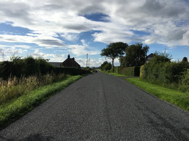
Mouswald is a small village located in the Dumfriesshire region of Scotland. Situated about 8 miles northeast of Dumfries, the village is nestled amidst stunning landscapes and rolling hills, providing residents and visitors with breathtaking views of the surrounding countryside.

The village of Mouswald has a rich history, with records dating back to the 12th century. It was once the site of a castle, known as Mouswald Tower, which played a significant role in the region's history. Today, only ruins remain, adding a touch of historical charm to the area.

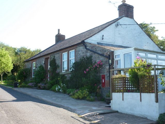
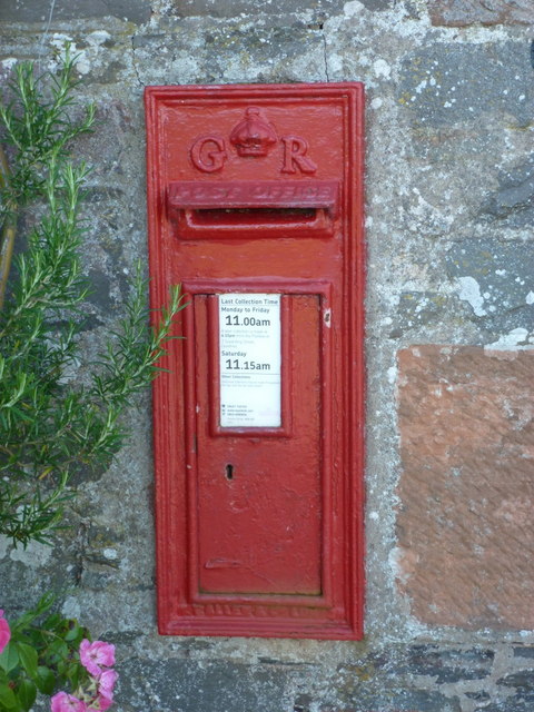
Despite its small size, Mouswald offers a range of amenities and services for its residents. The village boasts a community hall, providing a space for gatherings and events, as well as a local pub where locals and visitors can enjoy a friendly atmosphere and sample traditional Scottish cuisine.

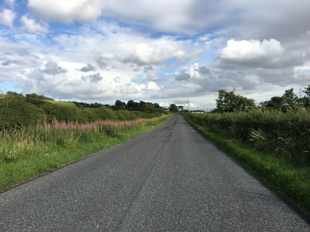
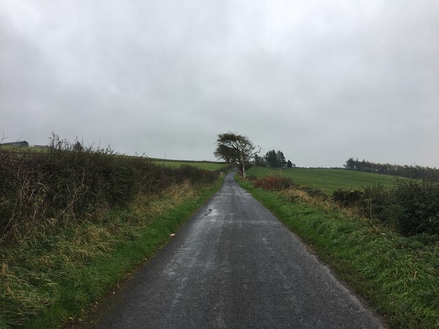
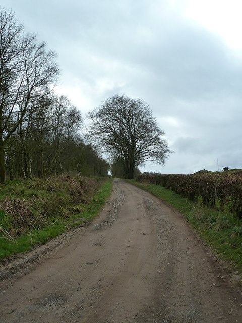
Mouswald is also known for its picturesque countryside, making it a popular destination for outdoor enthusiasts. The village is surrounded by numerous walking trails and cycling routes, allowing visitors to explore the natural beauty of Dumfriesshire. Additionally, the nearby Mabie Forest offers further opportunities for outdoor activities, including horse riding and wildlife spotting.

For those seeking a more tranquil experience, Mouswald's proximity to the River Nith provides opportunities for fishing and peaceful walks along the riverbanks. The village also benefits from its close proximity to Dumfries, a larger town offering a wider range of amenities, shops, and cultural attractions.

In summary, Mouswald is a small village in Dumfriesshire, Scotland, renowned for its stunning countryside, historical charm, and welcoming community. It is an idyllic destination for those seeking a peaceful retreat amidst the natural beauty of the region.

If you have any feedback on the listing, please let us know in the comments section below.
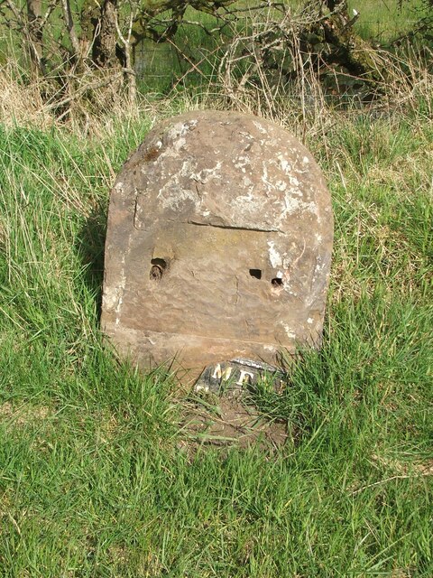
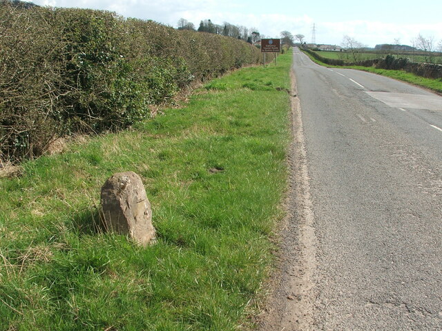
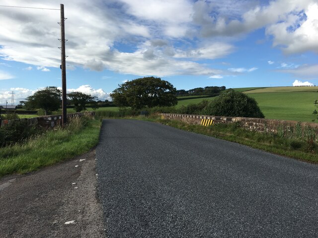
Mouswald Images

Images are sourced within 2km of 55.039653/-3.463826 or Grid Reference NY0672. Thanks to Geograph Open Source API. All images are credited.

Access Track Near Brocklehirst A short access track through a strip of native woodland leads to a large field near Brocklehirst.
Access Track Near Brocklehirst
A short access track through a strip of native woodland leads to a large field near Brocklehirst.
Old milestone The plate of the Annan 10 milestone has come adrift.   The top right hand corner of the plate was broken off long ago and now more is lost.   Travelling towards Annan the milestone is south of Mousewald just beyond a lane on the right to Townfoot.  It is near a little bridge and a small lay-by.   As the plate has recently come off, the way these plates were fixed to the stones is clearly shown.
Old milestone
The plate of the Annan 10 milestone has come adrift. The top right hand corner of the plate was broken off long ago and now more is lost. Travelling towards Annan the milestone is south of Mousewald just beyond a lane on the right to Townfoot. It is near a little bridge and a small lay-by. As the plate has recently come off, the way these plates were fixed to the stones is clearly shown.
Old milestone Looking south east in the direction of Annan.  The brown sign indicates the Galloway Tourist Route to Gretna Green.
Old milestone
Looking south east in the direction of Annan. The brown sign indicates the Galloway Tourist Route to Gretna Green.
Old milestone The Annan 10 milestone may have lost its plate and be quite eroded but there is clear cut benchmark on the top edge.
Old milestone
The Annan 10 milestone may have lost its plate and be quite eroded but there is clear cut benchmark on the top edge.
Old milestone A sad end to the 11 miles from Annan milestone just north west of Burnhill and Mouswald school.   The base of the stone is still in the ground but not all the broken pieces or plate are on the verge.  There is a cut bench mark on the front top which is the white painted section on the right of the photograph.
Old milestone
A sad end to the 11 miles from Annan milestone just north west of Burnhill and Mouswald school. The base of the stone is still in the ground but not all the broken pieces or plate are on the verge. There is a cut bench mark on the front top which is the white painted section on the right of the photograph.
Old milestone The position of the broken pieces of milestone Annan 11 with Burnhill in the distance.
Old milestone
The position of the broken pieces of milestone Annan 11 with Burnhill in the distance.
Old milestone Looking towards Mouswald Grange.    Another view of the sad demise of Dumfries 6 Annan 11.
Old milestone
Looking towards Mouswald Grange. Another view of the sad demise of Dumfries 6 Annan 11.
B724 towards Mouswald
B724 towards Clarencefield
Minor road towards Dalton
Old Milestone by the B724, south of Townfoot Bridge, Mouswald Stone post with metal plate by the B724, in parish of Mouswald (Annandale District), Townfoot, near a little bridge and small lay-by, East side of road. Plate broken.

Inscription reads:-
DUMFRI(ES)
{<-arrow} 7
ANNAN
10 {arrow->}
Carved bench mark and pivot on top.

Surveyed

Milestone Society National ID: DG_ANDF10
Old Milestone by the B724, south of Townfoot Bridge, Mouswald
Stone post with metal plate by the B724, in parish of Mouswald (Annandale District), Townfoot, near a little bridge and small lay-by, East side of road. Plate broken. Inscription reads:- DUMFRI(ES) {<-arrow} 7 ANNAN 10 {arrow->} Carved bench mark and pivot on top. Surveyed Milestone Society National ID: DG_ANDF10
Mouswald: old road-sign at Cleughbrae A pre-Worboys direction sign just off the A75. The bottom panel names Annan, to the right.
Mouswald: old road-sign at Cleughbrae
A pre-Worboys direction sign just off the A75. The bottom panel names Annan, to the right.
Mouswald: Mill Cottage A small cottage just off the main road at Cleughbrae, with a postbox set into the wall - see &lt;a href=&quot;https://www.geograph.org.uk/photo/2520123&quot;&gt;NY0673 : Mouswald: postbox № DG1 117, Cleughbrae&lt;/a&gt;.
Mouswald: Mill Cottage
A small cottage just off the main road at Cleughbrae, with a postbox set into the wall - see NY0673 : Mouswald: postbox № DG1 117, Cleughbrae.
Mouswald: postbox &#8470; DG1 117, Cleughbrae A George V-reign postbox set into the wall of &lt;a href=&quot;https://www.geograph.org.uk/photo/2520118&quot;&gt;NY0673 : Mouswald: Mill Cottage&lt;/a&gt;, emptied finally at 11am on weekdays and fifteen minutes later on Saturdays.
Mouswald: postbox № DG1 117, Cleughbrae
A George V-reign postbox set into the wall of NY0673 : Mouswald: Mill Cottage, emptied finally at 11am on weekdays and fifteen minutes later on Saturdays.
High Plantation View along this small farm track that leads to Panteth-hill. The plantation is left of picture.
High Plantation
View along this small farm track that leads to Panteth-hill. The plantation is left of picture.
Track to Panteth-hill Looking back up this track towards the A75.
Track to Panteth-hill
Looking back up this track towards the A75.
Low Plantation Looking out over fields to the wood with a view to the Criffel on the horizon.
Low Plantation
Looking out over fields to the wood with a view to the Criffel on the horizon.
Show me another place!

Mouswald is located at Grid Ref: NY0672 (Lat: 55.039653, Lng: -3.463826)

Unitary Authority: Dumfries and Galloway

Police Authority: Dumfries and Galloway

What 3 Words

///bathtubs.colleague.hazel. Near Dumfries, Dumfries & Galloway

Nearby Locations

Mouswald

Related Wikis

Mouswald

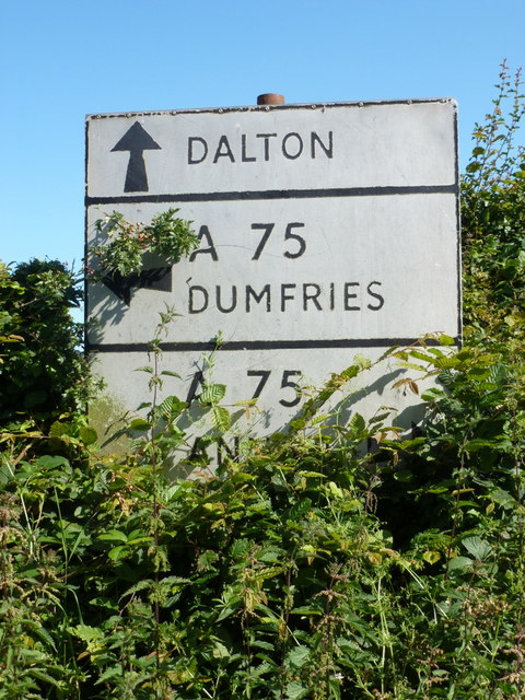
Mouswald is a rural village slightly east of Dumfries in south-west Scotland. It lies on the B724 south of the A75. The site views southward over the Solway...

Rockhall Tower

Rockhall Tower, also known as Rockhall House or Rockhall Tower House, is a 16th-century tower house in Collin, Dumfries and Galloway. The castle originally...

Racks railway station

Racks railway station was a railway station in Dumfries and Galloway, Scotland, south of Dumfries, OS NGR NY 033 743, serving and effectively creating...

Carrutherstown

Carrutherstown is a village in the civil parish of Dalton, in Dumfries and Galloway, Scotland. It is about 9 miles (14 km) east of Dumfries. == Demographics... ==

Nearby Amenities

Located within 500m of 55.039653,-3.463826
Bus Stop
Village
Naptan AtcoCode: 680000170333
Naptan Bearing: NW
Naptan CommonName: Village
Naptan Indicator: opp Road End
Naptan Landmark: Church
Naptan NaptanCode: 34237976
Naptan Notes: none
Naptan Street: B724
Naptan Verified: no
Source: naptan_import
Lat/Long: 55.0391823/-3.4653415
Bus Stop
Village
Naptan AtcoCode: 680000170444
Naptan Bearing: SE
Naptan CommonName: Village
Naptan Indicator: Road End
Naptan Landmark: Church
Naptan NaptanCode: 34237975
Naptan Notes: none
Naptan Street: B724
Naptan Verified: no
Source: naptan_import
Lat/Long: 55.0393777/-3.4655365
Mouswald
Place: village
Lat/Long: 55.0393235/-3.4589127
Post Box
Ref: DG1 120
Lat/Long: 55.0400268/-3.4624082
Power: pole
Lat/Long: 55.0438624/-3.464101
Power: pole
Lat/Long: 55.043337/-3.4631067
Power: pole
Lat/Long: 55.0428234/-3.4620841
Power: pole
Lat/Long: 55.0423363/-3.4611541
Power: pole
Lat/Long: 55.0418788/-3.460268
Power: pole
Lat/Long: 55.0414301/-3.4593999
Power: pole
Lat/Long: 55.0410212/-3.4585936
Power: pole
Lat/Long: 55.0407467/-3.4580295
Power: pole
Lat/Long: 55.0402876/-3.4571588
Power: pole
Lat/Long: 55.0398803/-3.4563938
Power: pole
Lat/Long: 55.0404707/-3.4612443
Power: pole
Lat/Long: 55.0410463/-3.461337
Power: pole
Lat/Long: 55.0416352/-3.4614504
Power: pole
Lat/Long: 55.0428603/-3.4616693
Power: pole
Lat/Long: 55.0359221/-3.4658347
Power: pole
Lat/Long: 55.036762/-3.464338
Power: pole
Lat/Long: 55.0375945/-3.4628131
Power: pole
Lat/Long: 55.038337/-3.4623854
Power: pole
Lat/Long: 55.0394854/-3.461726
Power: pole
Lat/Long: 55.0395312/-3.4624988
Power: pole
Lat/Long: 55.0395961/-3.4635472
Power: pole
Lat/Long: 55.0360963/-3.4608038
Power: pole
Lat/Long: 55.0368402/-3.461793
The data included in this document is from www.openstreetmap.org. The data is made available under ODbL.

Have you been to Mouswald?

Leave your review of Mouswald below (or comments, questions and feedback).