Mount Pleasant
Settlement in Sussex Lewes
England
Mount Pleasant
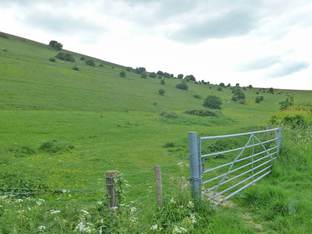
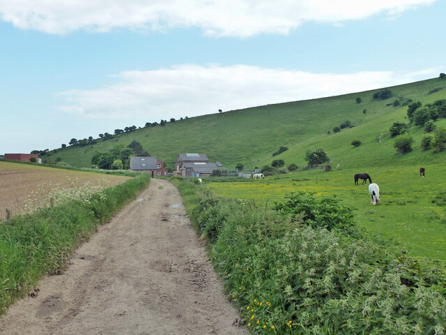
Mount Pleasant is a small village located in the district of Sussex in England. Situated amidst picturesque surroundings, it is nestled within the South Downs National Park, offering stunning views of the surrounding countryside. The village is located approximately 10 miles north of the city of Brighton and Hove, making it easily accessible for both residents and visitors.
Mount Pleasant is characterized by its peaceful and tranquil atmosphere, making it an ideal place for those seeking a quieter lifestyle away from the hustle and bustle of city life. The village is home to a close-knit community, with a population of around 500 residents. This creates a friendly and welcoming environment, where neighbors know each other and support one another.
The village offers a range of amenities for its residents, including a local shop, a village hall, and a pub, which serves as a social hub for gatherings and community events. There are also several recreational opportunities nearby, with numerous walking and cycling trails in the surrounding countryside, allowing residents to enjoy the natural beauty of the area.
For those seeking educational facilities, Mount Pleasant is within close proximity to various schools, both primary and secondary, ensuring that families have access to quality education for their children.
Overall, Mount Pleasant offers a quaint and idyllic setting for those looking to settle in a peaceful village surrounded by scenic landscapes, while still being within reach of larger towns and cities in the Sussex area.
If you have any feedback on the listing, please let us know in the comments section below.
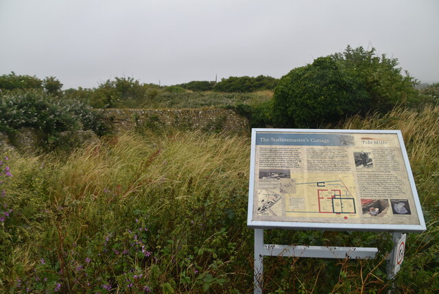
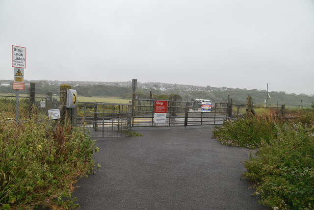
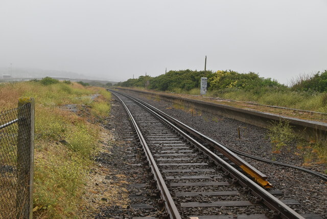
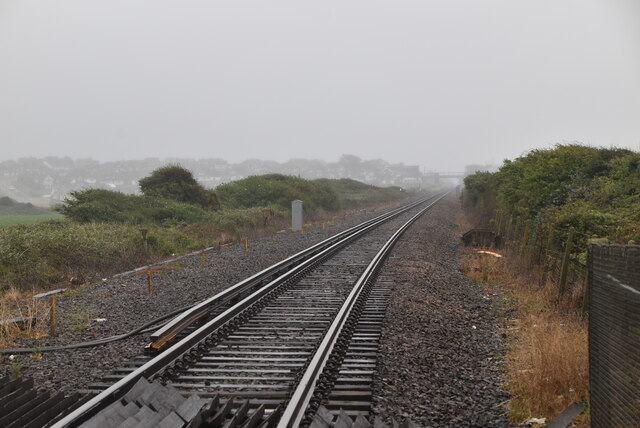
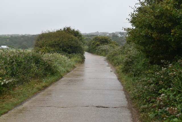
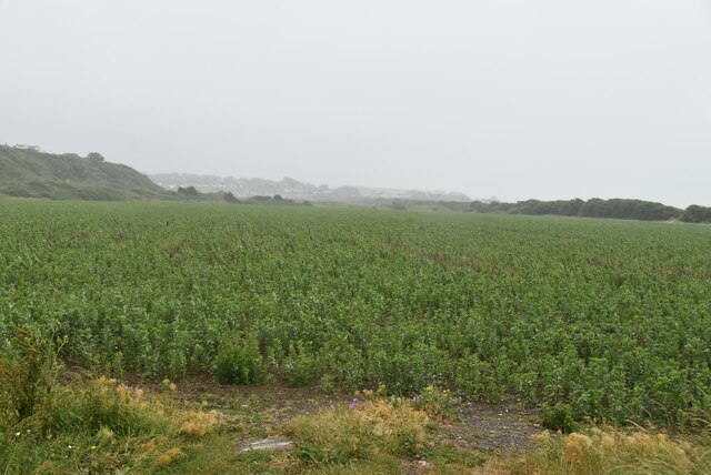
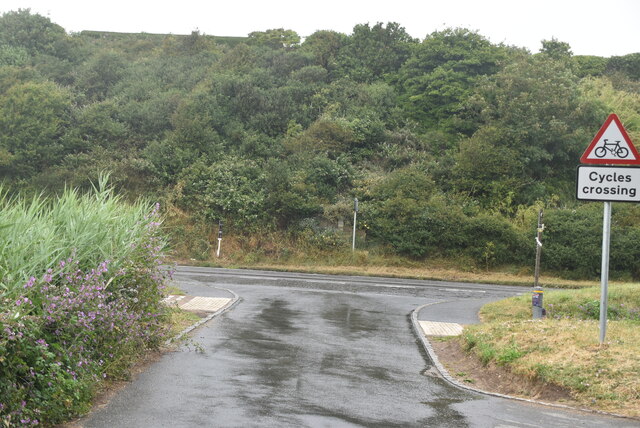
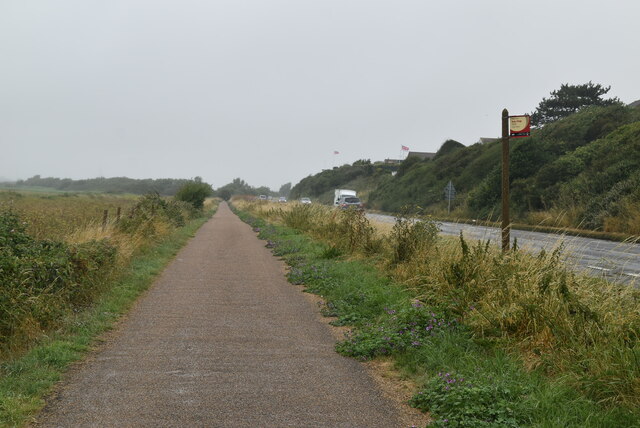
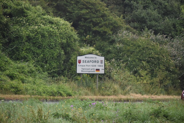
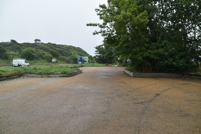
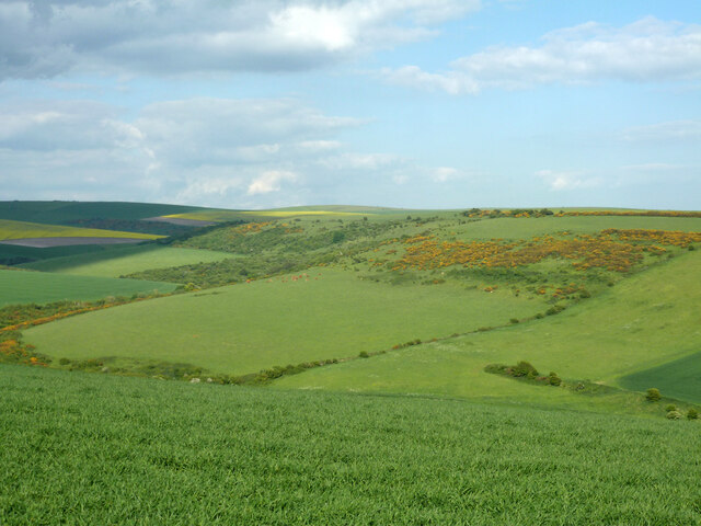
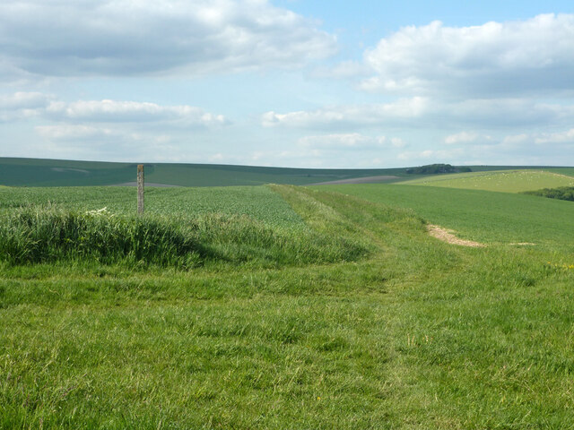
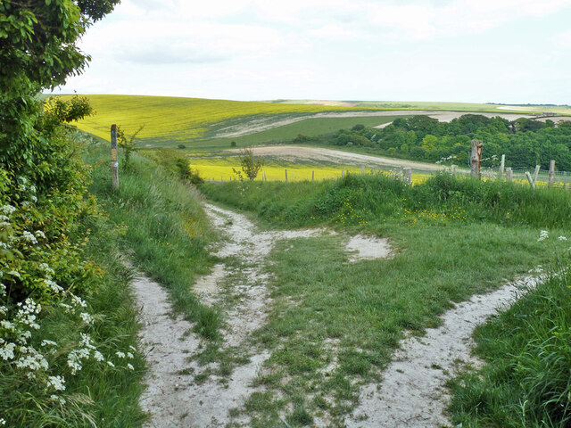
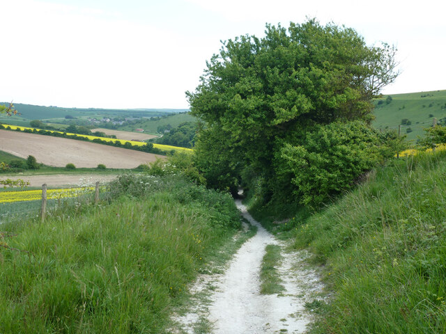
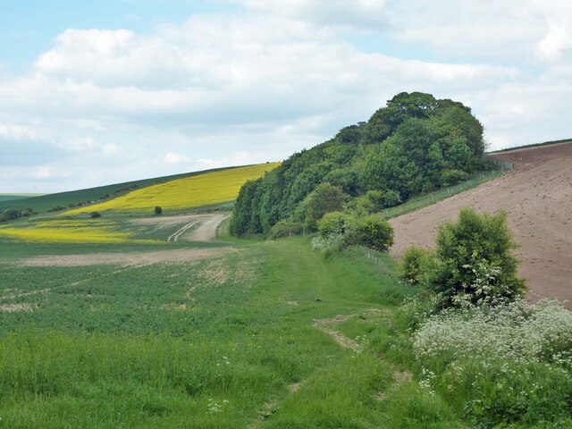
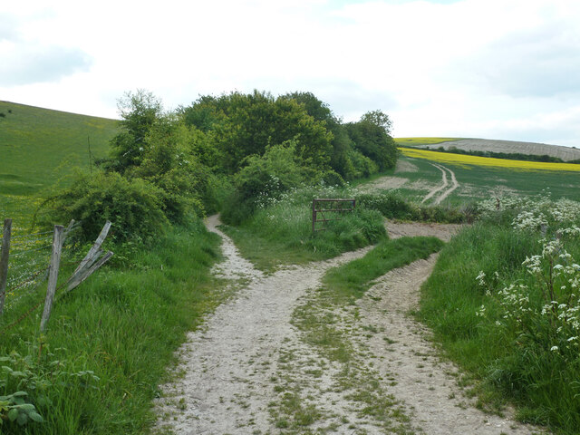
Mount Pleasant Images
Images are sourced within 2km of 50.802068/0.070839 or Grid Reference TQ4602. Thanks to Geograph Open Source API. All images are credited.
Mount Pleasant is located at Grid Ref: TQ4602 (Lat: 50.802068, Lng: 0.070839)
Administrative County: East Sussex
District: Lewes
Police Authority: Sussex
What 3 Words
///mistaken.absorbing.fillers. Near Newhaven, East Sussex
Nearby Locations
Related Wikis
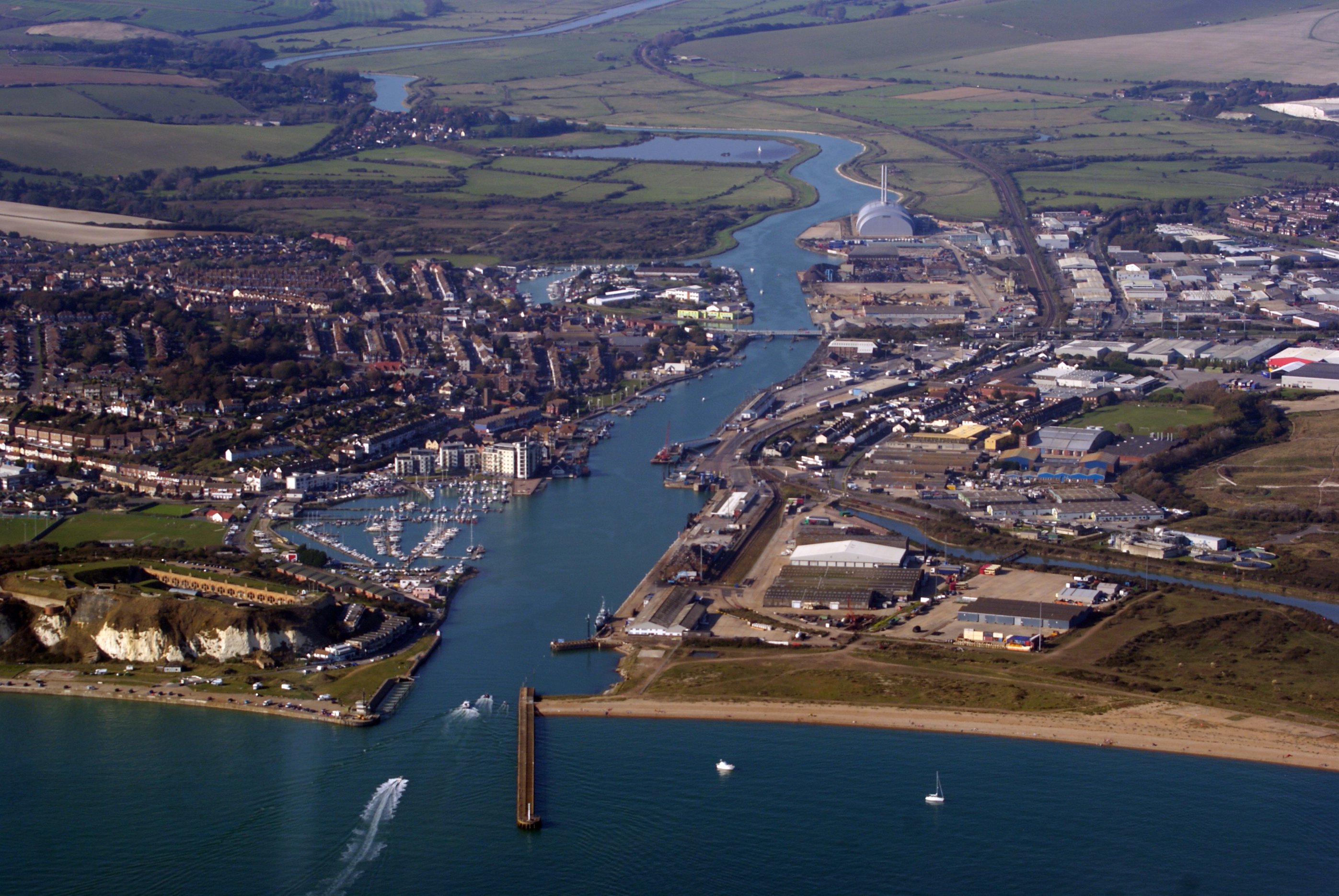
Newhaven, East Sussex
Newhaven is a port town in East Sussex in England, lying at the mouth of the River Ouse. The town developed during the Middle Ages as the nearby port of...

Denton, East Sussex
Denton is a small village in the civil parish of Newhaven, in the Lewes district, in the county of East Sussex, England. It adjoins the villages of South...

Newhaven Town railway station
Newhaven Town railway station is the main station serving Newhaven, East Sussex, England, the other being Newhaven Harbour. A third station, Newhaven Marine...

UTC@harbourside
UTC@harbourside was a University Technical College for students aged 14–18 (Key Stage 4 and 5) located in Newhaven, East Sussex, England which opened in...

Newhaven ERF
The Newhaven ERF (Energy Recovery Facility) is an incinerator, in the town of Newhaven in the English county of East Sussex, for the treatment of up to...

South Heighton
South Heighton is a village and civil parish in the Lewes District of East Sussex, England. The village is seven miles (12 km) south of Lewes. In the...

Newhaven Harbour railway station
Newhaven Harbour railway station is a railway station in Newhaven, East Sussex, England. It originally served boat train services to Dieppe, but that was...

Port of Newhaven
The Port of Newhaven is a port and associated docks complex located within Newhaven, East Sussex, England, situated at the mouth of the River Ouse. International...
Nearby Amenities
Located within 500m of 50.802068,0.070839Have you been to Mount Pleasant?
Leave your review of Mount Pleasant below (or comments, questions and feedback).