Norton Bottom
Valley in Sussex Lewes
England
Norton Bottom
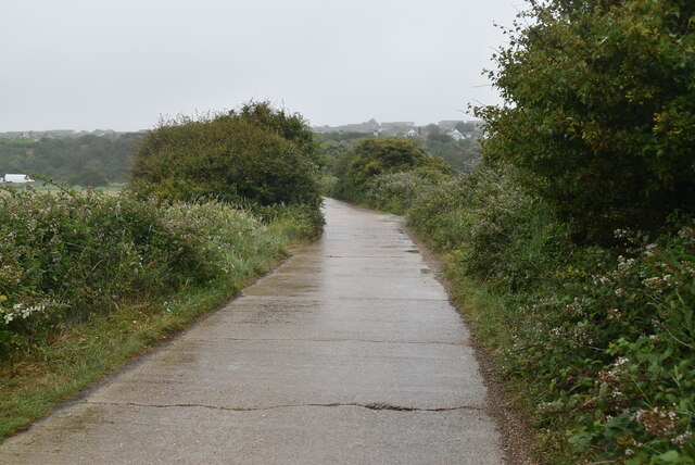
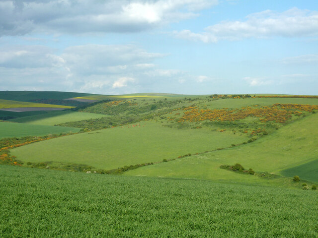
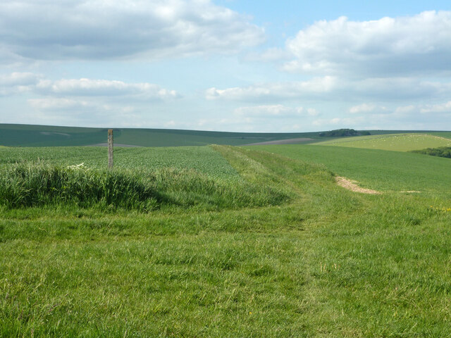
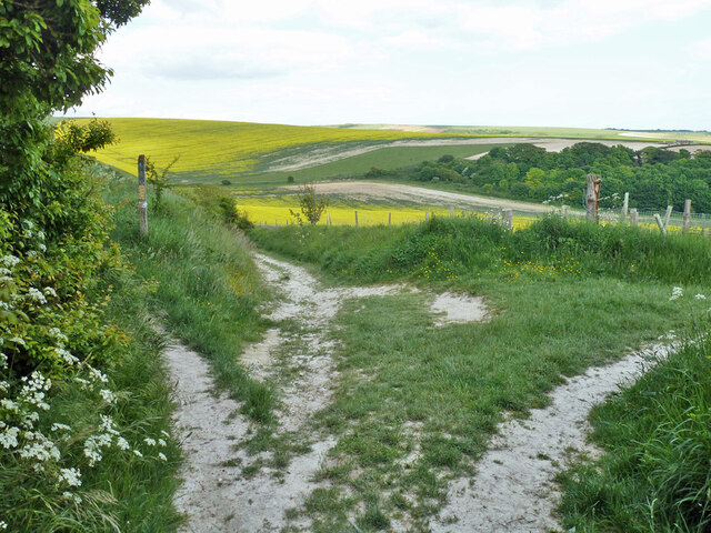
Norton Bottom is a picturesque valley located in the county of Sussex, England. Nestled amidst rolling hills and lush greenery, this idyllic spot is renowned for its natural beauty and tranquil atmosphere.
Situated near the town of Norton, the valley is surrounded by charming villages and is a popular destination for nature lovers and hikers. The valley is characterized by its gently sloping landscape, with a small river meandering through it, creating a serene and peaceful ambiance. The river is rich in wildlife, with various species of birds, fish, and mammals inhabiting its banks.
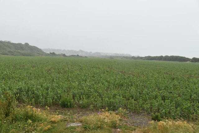
The valley is also known for its diverse flora, with an abundance of wildflowers, including bluebells, primroses, and daffodils, carpeting the meadows during springtime. The surrounding woodlands are home to ancient trees, providing a habitat for various woodland creatures.
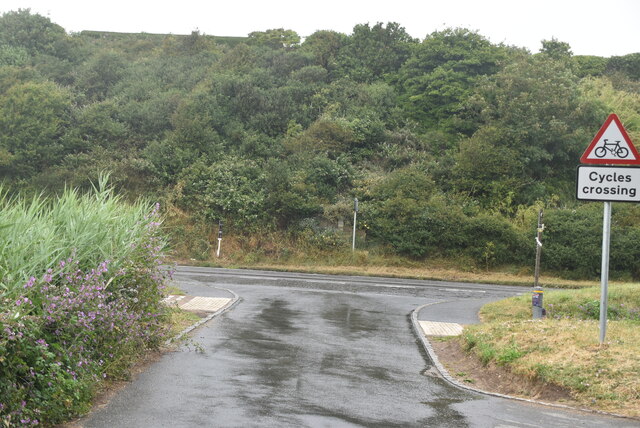
At the heart of Norton Bottom is a quaint village, offering a glimpse into rural English life. The village boasts a handful of historic buildings, including a church dating back several centuries. The local community is tight-knit and welcoming, with a strong sense of pride in their surroundings.
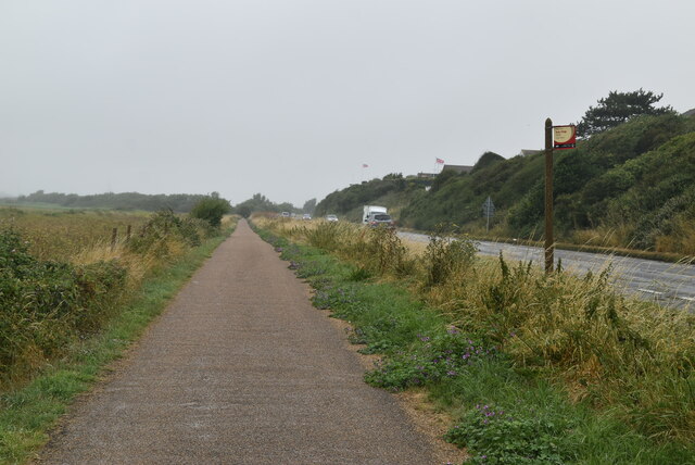
Visitors to Norton Bottom can enjoy scenic walks along the river, exploring the woodlands, and taking in the stunning vistas from the hilltops. The valley is also a popular spot for picnics and outdoor activities, attracting families and couples alike.
In summary, Norton Bottom is a hidden gem in Sussex, offering a haven of natural beauty, tranquility, and a glimpse into traditional English countryside living.
If you have any feedback on the listing, please let us know in the comments section below.
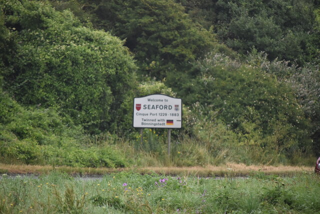
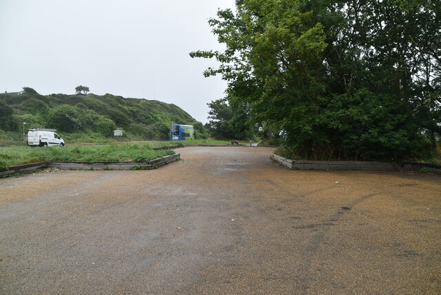
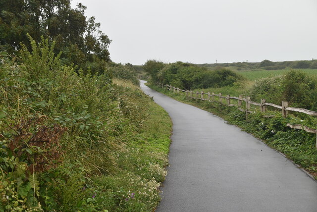
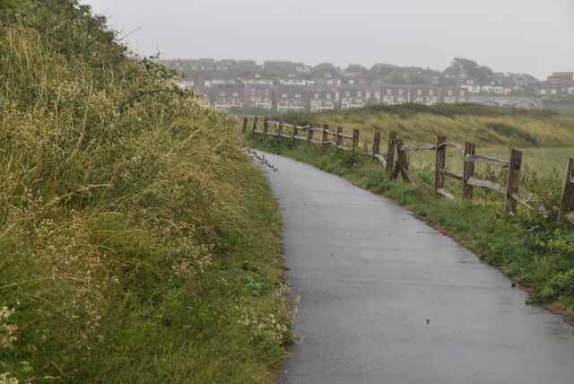
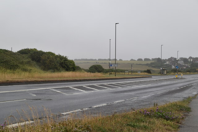
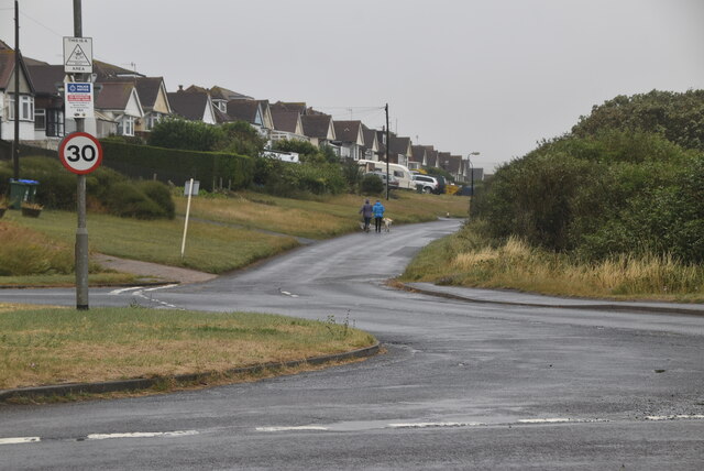
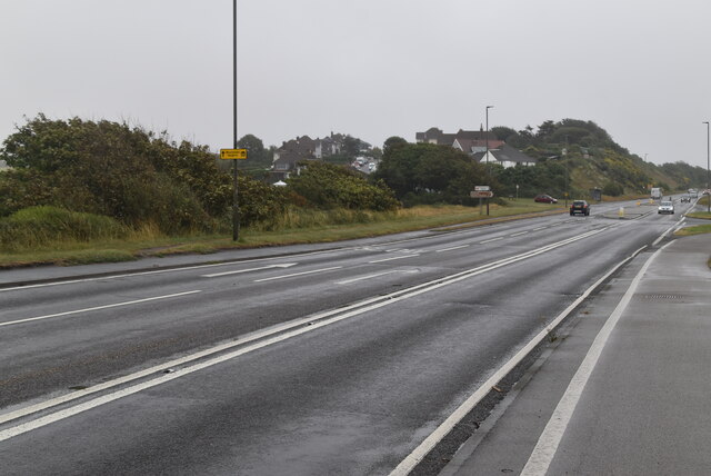
Norton Bottom Images
Images are sourced within 2km of 50.800048/0.084081878 or Grid Reference TQ4602. Thanks to Geograph Open Source API. All images are credited.
Norton Bottom is located at Grid Ref: TQ4602 (Lat: 50.800048, Lng: 0.084081878)
Administrative County: East Sussex
District: Lewes
Police Authority: Sussex
What 3 Words
///unframed.lush.tinned. Near Newhaven, East Sussex
Nearby Locations
Related Wikis

Bishopstone, East Sussex
Bishopstone (also known as BIP) is a village and former civil parish, now in the parish of Seaford, in the Lewes district, in the county of East Sussex...
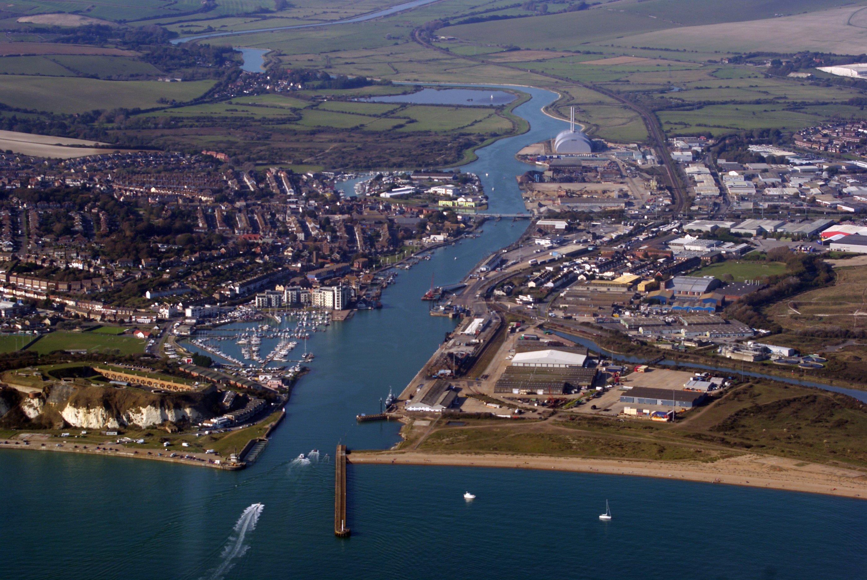
Newhaven, East Sussex
Newhaven is a port town in East Sussex in England, lying at the mouth of the River Ouse. The town developed during the Middle Ages as the nearby port of...

Denton, East Sussex
Denton is a small village in the civil parish of Newhaven, in the Lewes district, in the county of East Sussex, England. It adjoins the villages of South...

Bishopstone Beach Halt railway station
Bishopstone Beach Halt was a railway station in East Sussex, England that was opened on 1 June 1864 and closed on 1 January 1942. The station was built...

Newhaven Town railway station
Newhaven Town railway station is the main station serving Newhaven, East Sussex, England, the other being Newhaven Harbour. A third station, Newhaven Marine...

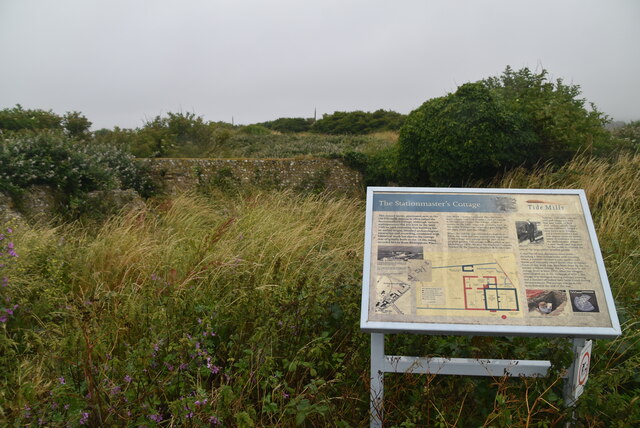
Tide Mills, East Sussex
Tide Mills is a derelict village in East Sussex, England. It lies about two kilometres (1.2 miles) south-east of Newhaven and four kilometres (2.5 miles...

Bishopstone railway station
Bishopstone railway station is on the western side of the town of Seaford, East Sussex, England. It is situated close to the coast, and about 1 mile (1...

UTC@harbourside
UTC@harbourside was a University Technical College for students aged 14–18 (Key Stage 4 and 5) located in Newhaven, East Sussex, England which opened in...
Related Videos

Weekend Travel London To France
PLEASE KINDLY SUPPORT OUR DJHURT'S FAMILY MEMBER @ABU DHABI YOUTUBE https://youtu.be/e310CUWR1vc ...

Spectacular View ! Worth a visit | Beautiful places to visit in England, UK | #manda4u #shorts
Spectacular Cliffs, #chalkiffs #walkthechalk #sevensisters England, UK #viral #travel #manda4u #youtubeshorts #shortsvideo ...
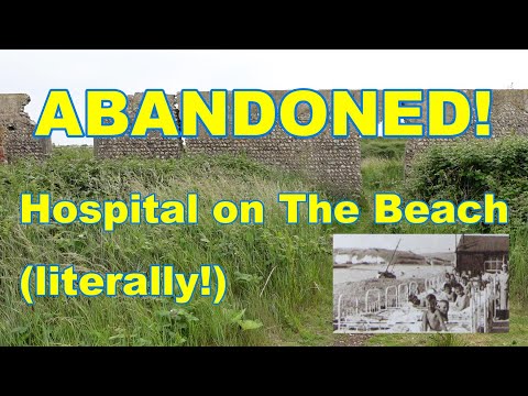
The Abandoned Hospital on the Beach. Sussex Map Mysteries: Episode 6
Old maps often have curious things on them, which lead us back to a different age. Join me as I discover what some of these ...

Newhaven Wreck Diving, August Bank Holiday 2023
Bank holiday wreck dive fun with Newhaven Scuba Centre The weather played havoc again, but we still managed to get 3 great ...
Nearby Amenities
Located within 500m of 50.800048,0.084081878Have you been to Norton Bottom?
Leave your review of Norton Bottom below (or comments, questions and feedback).