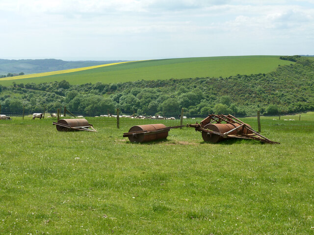
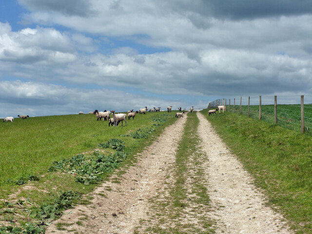
Stump Bottom
Valley in Sussex Lewes
England
Stump Bottom
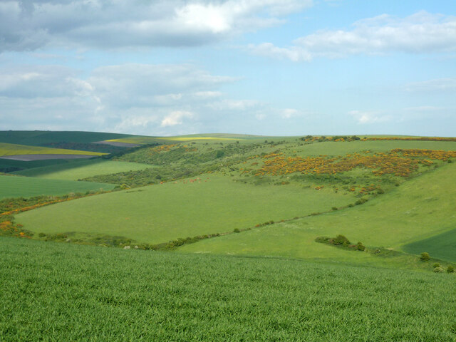
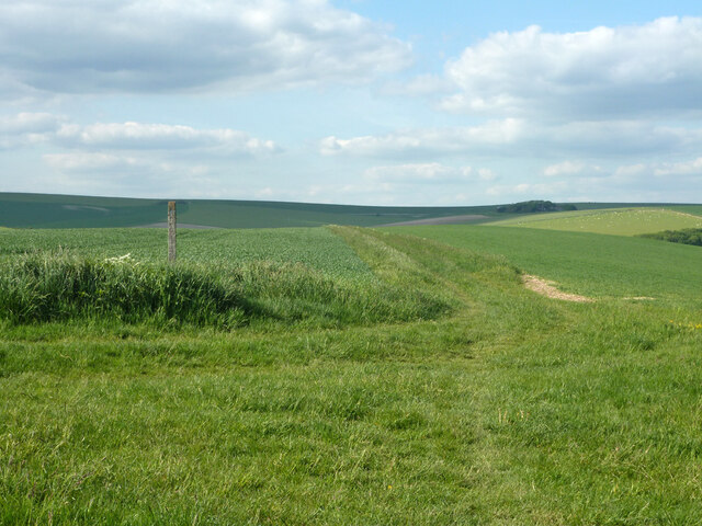
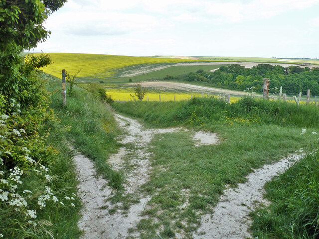
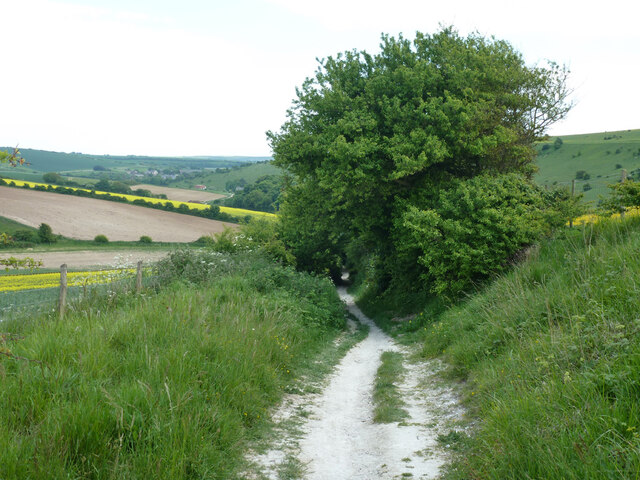
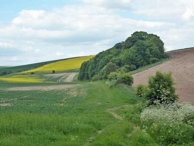
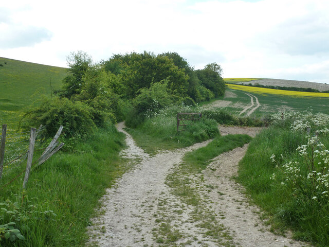
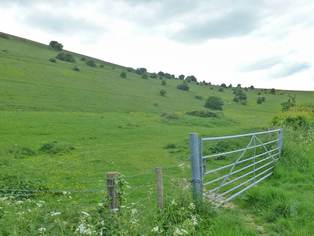
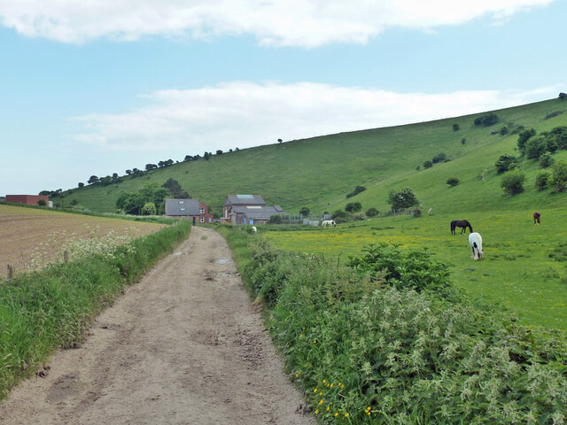
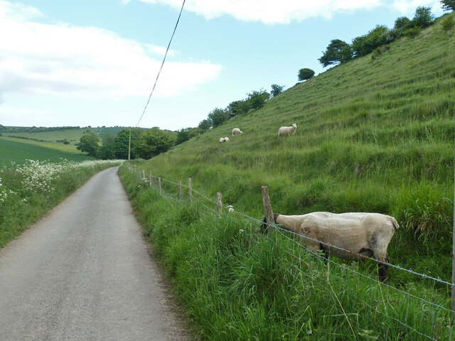
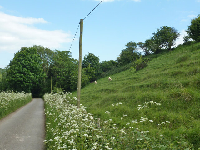
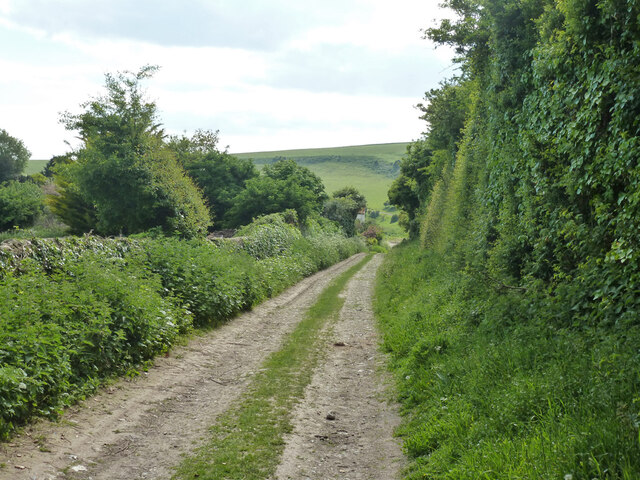
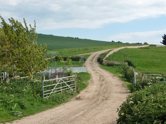
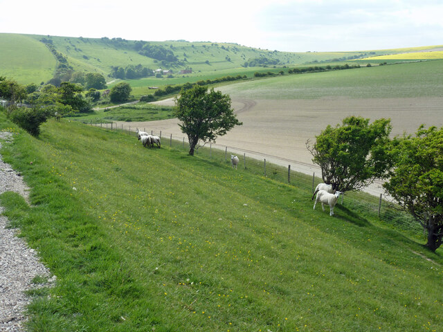
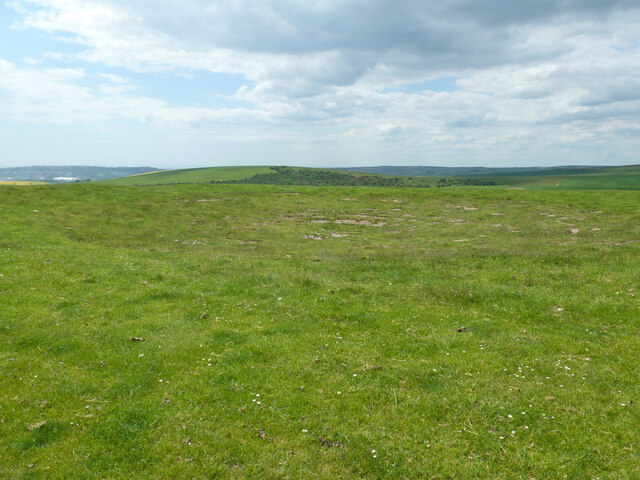
Stump Bottom is a small village located in the Sussex Valley region of England. Situated amidst lush greenery and rolling hills, it offers a picturesque and tranquil setting for its residents and visitors alike. The village is nestled in a valley, adding to its charm and creating a sense of seclusion from the bustling outside world.
The population of Stump Bottom is approximately 500 individuals, making it a close-knit community where everyone knows each other. The village is centered around a quaint village square, which serves as a gathering spot for locals to socialize and host community events.
Stump Bottom boasts a few amenities to cater to its residents' needs. The village is home to a small convenience store, providing essential groceries and household items. Additionally, there is a cozy pub that serves as a hub for socializing and enjoying traditional English fare.
Nature enthusiasts will find Stump Bottom to be a haven. Surrounding the village are vast meadows and forests, offering ample opportunities for hiking, cycling, and exploring the natural beauty of the Sussex Valley. The nearby river is a popular spot for fishing and boating enthusiasts.
Although Stump Bottom may lack some of the amenities found in larger towns, its peaceful and idyllic setting more than compensates for it. The residents take pride in their tight-knit community and the natural beauty that surrounds them, making Stump Bottom a hidden gem in the Sussex Valley region.
If you have any feedback on the listing, please let us know in the comments section below.
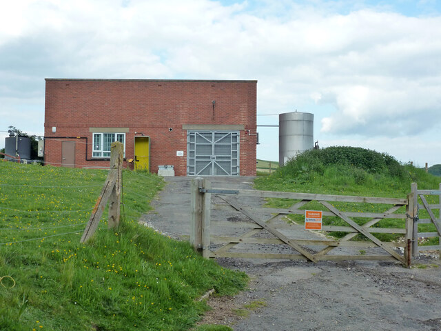
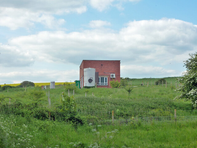
Stump Bottom Images
Images are sourced within 2km of 50.812816/0.077722695 or Grid Reference TQ4603. Thanks to Geograph Open Source API. All images are credited.
Stump Bottom is located at Grid Ref: TQ4603 (Lat: 50.812816, Lng: 0.077722695)
Administrative County: East Sussex
District: Lewes
Police Authority: Sussex
What 3 Words
///tube.clipped.inspected. Near Newhaven, East Sussex
Nearby Locations
Related Wikis

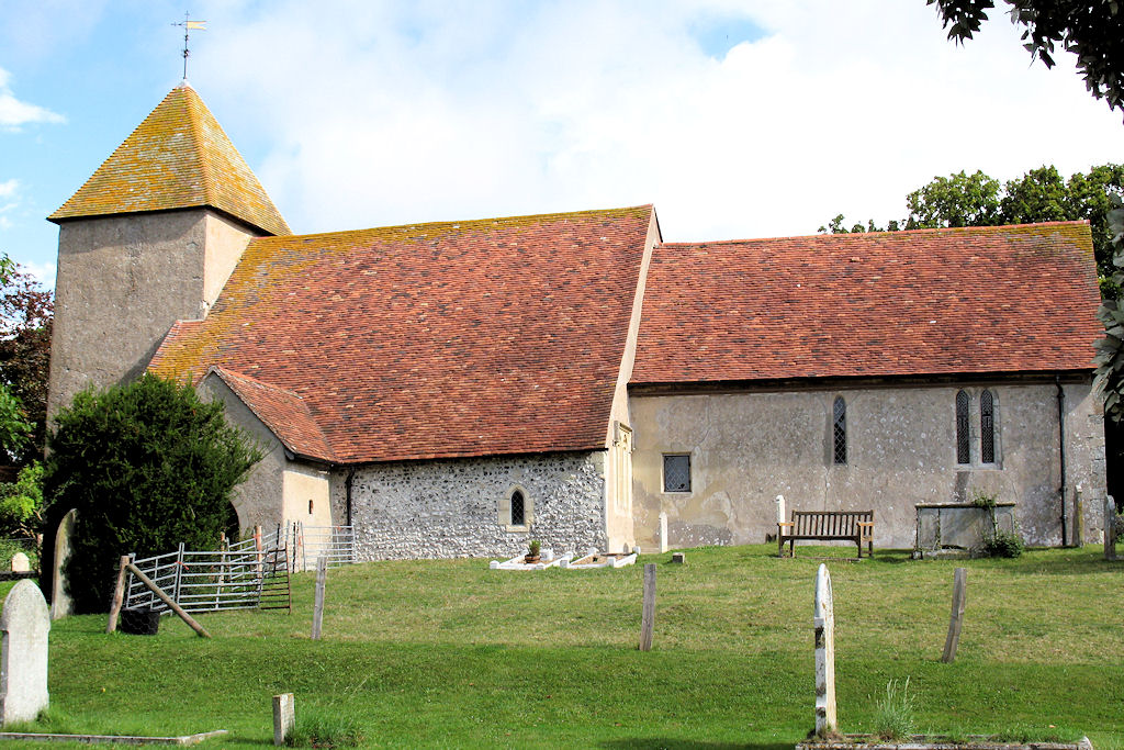
Denton, East Sussex
Denton is a small village in the civil parish of Newhaven, in the Lewes district, in the county of East Sussex, England. It adjoins the villages of South...
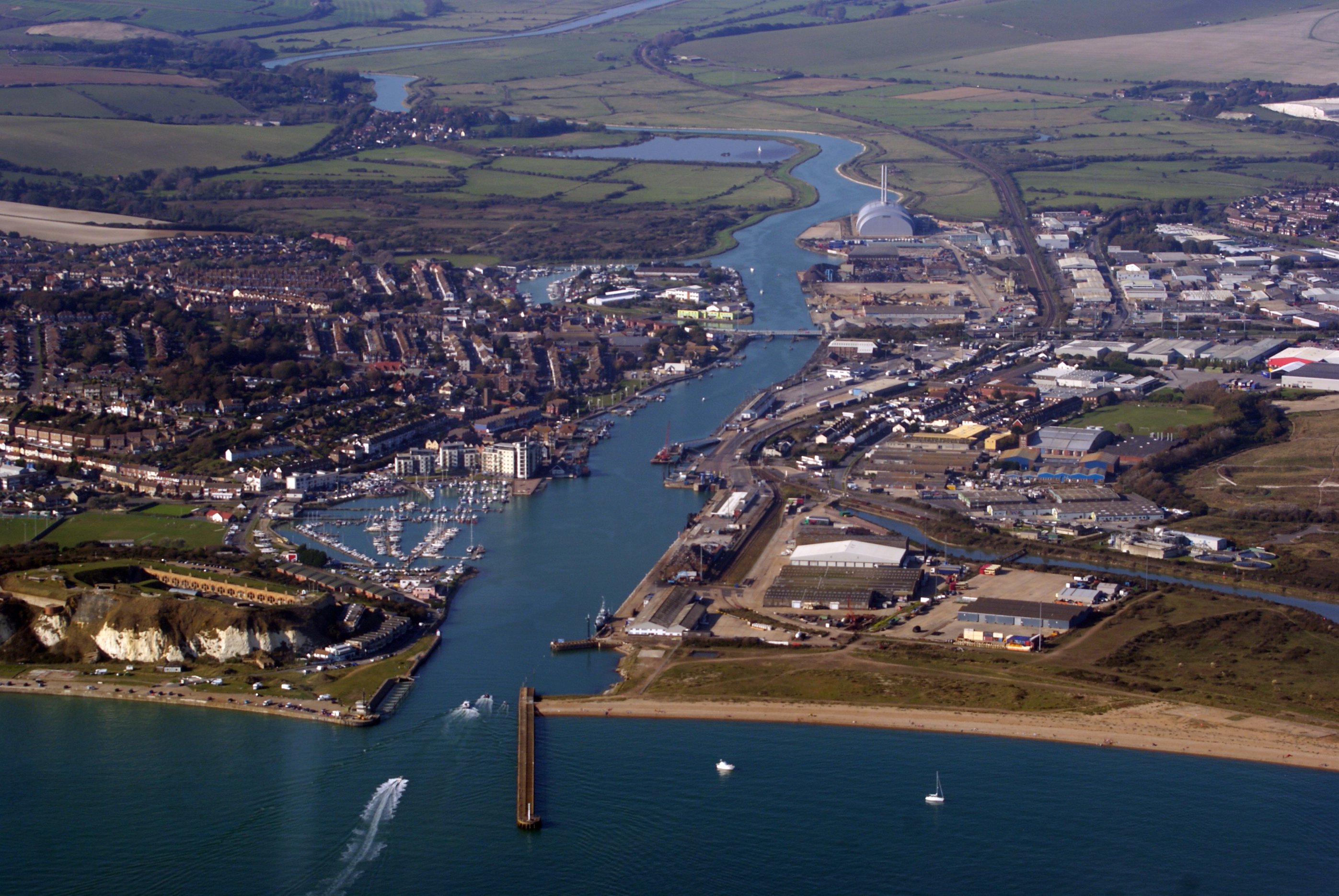
Newhaven, East Sussex
Newhaven is a port town in East Sussex in England, lying at the mouth of the River Ouse. The town developed during the Middle Ages as the nearby port of...

South Heighton
South Heighton is a village and civil parish in the Lewes District of East Sussex, England. The village is seven miles (12 km) south of Lewes. In the...
Tarring Neville
Tarring Neville is a village and civil parish in the Lewes District of East Sussex, England. The village is located five miles (8 km) south of Lewes, on...

Firle Escarpment
Firle Escarpment is a 302.1-hectare (747-acre) biological Site of Special Scientific Interest north of Seaford in East Sussex.This is a long stretch of...

Newhaven ERF
The Newhaven ERF (Energy Recovery Facility) is an incinerator, in the town of Newhaven in the English county of East Sussex, for the treatment of up to...

Newhaven Town railway station
Newhaven Town railway station is the main station serving Newhaven, East Sussex, England, the other being Newhaven Harbour. A third station, Newhaven Marine...

UTC@harbourside
UTC@harbourside was a University Technical College for students aged 14–18 (Key Stage 4 and 5) located in Newhaven, East Sussex, England which opened in...
Nearby Amenities
Located within 500m of 50.812816,0.077722695Have you been to Stump Bottom?
Leave your review of Stump Bottom below (or comments, questions and feedback).