Home Bottom
Valley in Sussex Lewes
England
Home Bottom
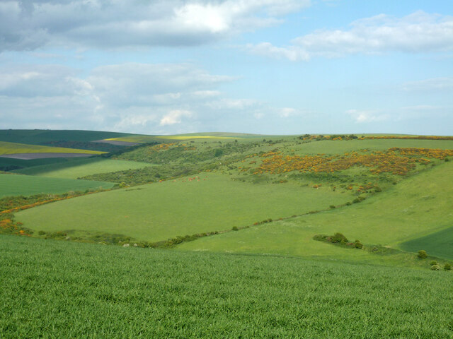
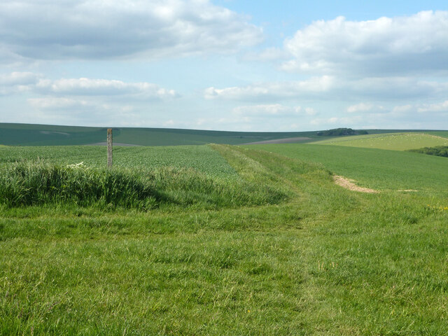
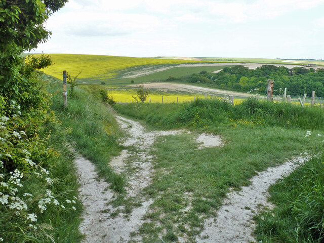
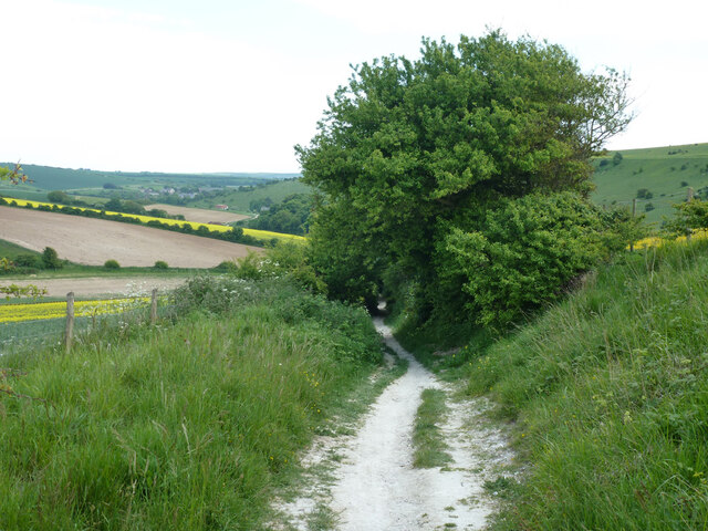
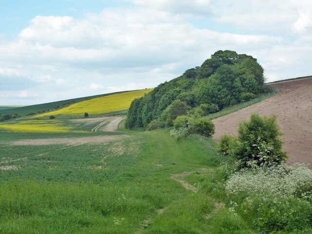
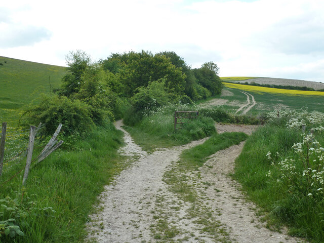
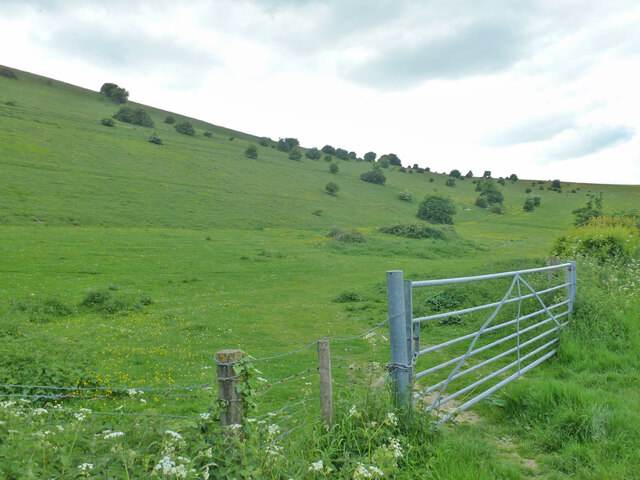
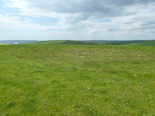
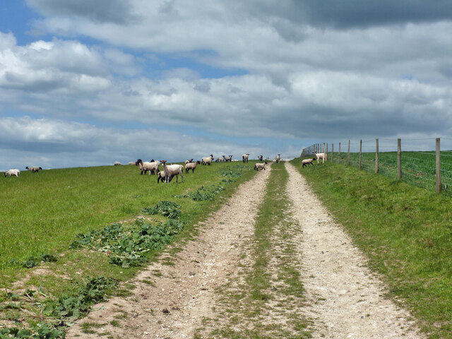
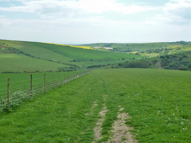
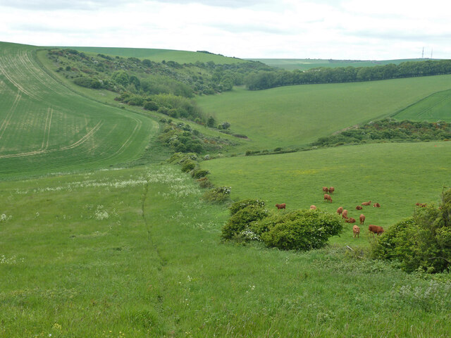
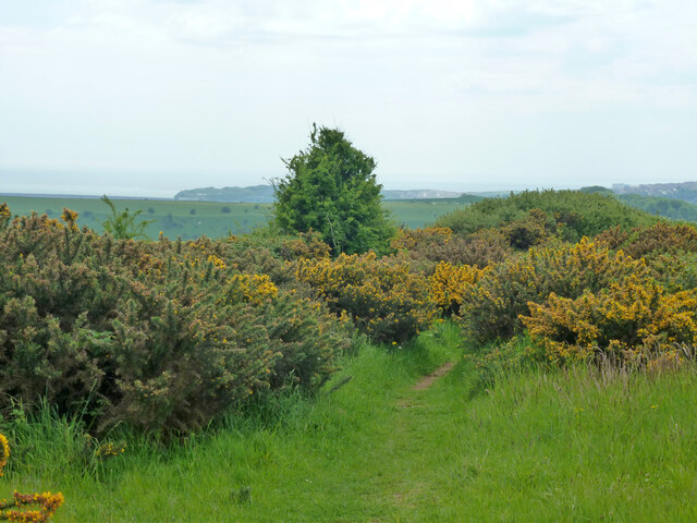
Home Bottom is a picturesque valley located in the county of Sussex, England. Situated in the heart of the South Downs National Park, this idyllic rural area is known for its stunning natural beauty and serene atmosphere. The valley is surrounded by rolling hills and lush green meadows, creating a breathtaking landscape that attracts visitors from far and wide.
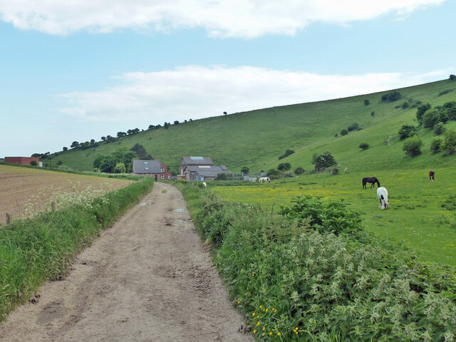
The small community of Home Bottom is nestled within this valley, consisting of a handful of charming cottages and farmhouses. The residents of this close-knit community enjoy a peaceful and tranquil way of life, far away from the hustle and bustle of city living. The area is characterized by its traditional architecture and well-maintained gardens, adding to the overall charm of the village.
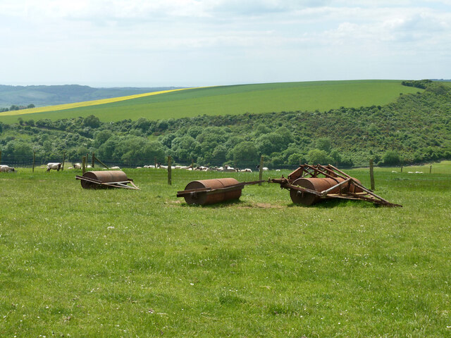
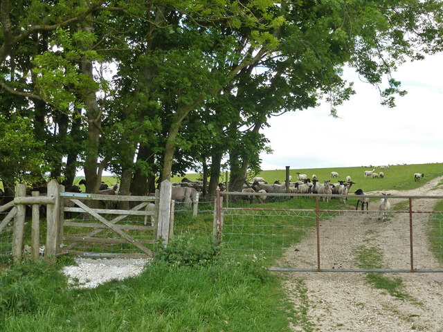
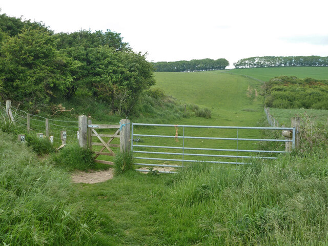
Home Bottom offers a range of outdoor activities for nature enthusiasts. The valley's extensive network of footpaths and bridleways allows visitors to explore the surrounding countryside, taking in the stunning views and enjoying the fresh country air. The area is also popular for cycling and horse riding, with numerous trails and routes available.
In addition to its natural beauty, Home Bottom is home to a variety of wildlife. The valley's diverse ecosystem supports a range of species, including birds, butterflies, and small mammals. Nature lovers can often spot deer grazing in the meadows or catch a glimpse of the rare and protected species that inhabit the area.
Overall, Home Bottom, Sussex (Valley) is a hidden gem that offers a peaceful retreat for those seeking a break from the fast-paced world. Its stunning beauty, tranquil atmosphere, and abundant wildlife make it a haven for nature lovers and a perfect destination for those looking to immerse themselves in the beauty of the English countryside.
If you have any feedback on the listing, please let us know in the comments section below.
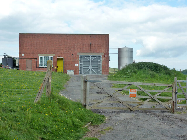
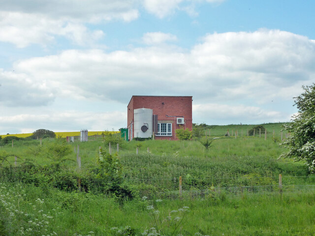
Home Bottom Images
Images are sourced within 2km of 50.81783/0.076979818 or Grid Reference TQ4604. Thanks to Geograph Open Source API. All images are credited.
Home Bottom is located at Grid Ref: TQ4604 (Lat: 50.81783, Lng: 0.076979818)
Administrative County: East Sussex
District: Lewes
Police Authority: Sussex
What 3 Words
///steepest.though.head. Near Newhaven, East Sussex
Nearby Locations
Related Wikis

Firle Escarpment
Firle Escarpment is a 302.1-hectare (747-acre) biological Site of Special Scientific Interest north of Seaford in East Sussex.This is a long stretch of...
Tarring Neville
Tarring Neville is a village and civil parish in the Lewes District of East Sussex, England. The village is located five miles (8 km) south of Lewes, on...

South Heighton
South Heighton is a village and civil parish in the Lewes District of East Sussex, England. The village is seven miles (12 km) south of Lewes. In the...

Denton, East Sussex
Denton is a small village in the civil parish of Newhaven, in the Lewes district, in the county of East Sussex, England. It adjoins the villages of South...
Newhaven, East Sussex
Newhaven is a port town in East Sussex in England, lying at the mouth of the River Ouse. The town developed during the Middle Ages as the nearby port of...
Firle Beacon
Firle Beacon is a hill in the South Downs of southern England. It is 217 metres high and is a Marilyn. It commands a far-reaching view. When the prevailing...

Newhaven ERF
The Newhaven ERF (Energy Recovery Facility) is an incinerator, in the town of Newhaven in the English county of East Sussex, for the treatment of up to...

Asham Quarry
Asham Quarry is a 2.6-hectare (6.4-acre) geological Site of Special Scientific Interest north of Newhaven in East Sussex. It is a Geological Conservation...
Nearby Amenities
Located within 500m of 50.81783,0.076979818Have you been to Home Bottom?
Leave your review of Home Bottom below (or comments, questions and feedback).