Snap Hill

Hill, Mountain in Sussex Lewes

England

Snap Hill

View NE over Stump Bottom
View NE over Stump Bottom Credit: Robin Webster

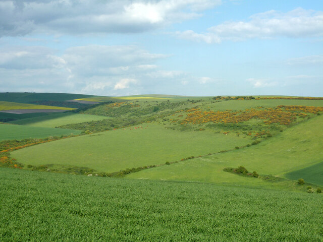
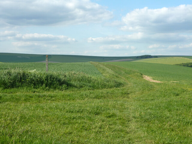
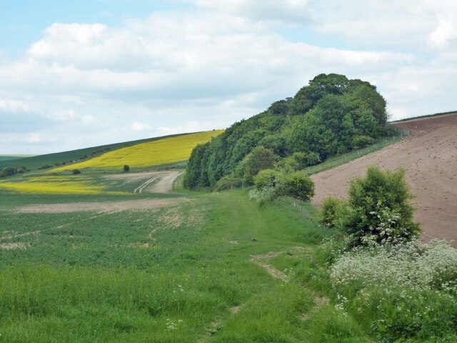
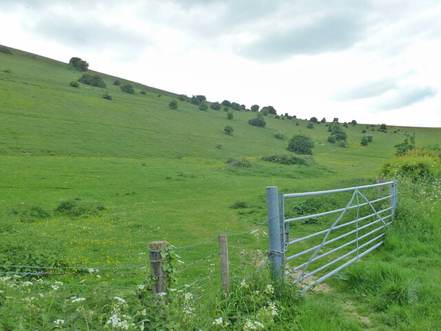
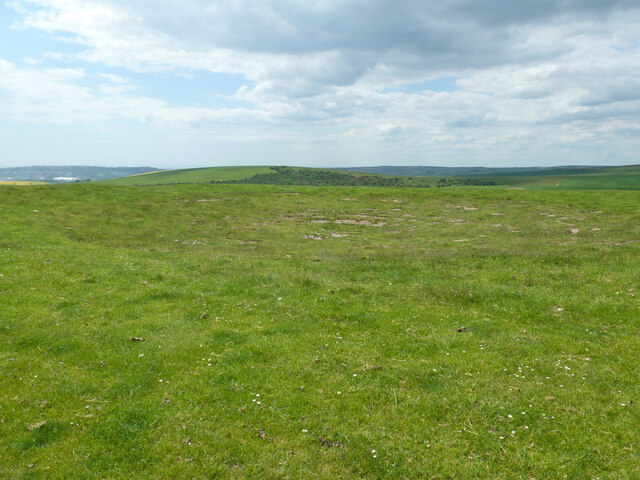
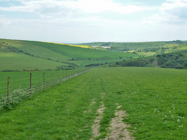
Snap Hill is a prominent geographical feature located in Sussex, England. It is classified as a hill and is a popular destination for outdoor enthusiasts and nature lovers. Standing at an elevation of approximately 182 meters (597 feet), it offers breathtaking panoramic views of the surrounding countryside.

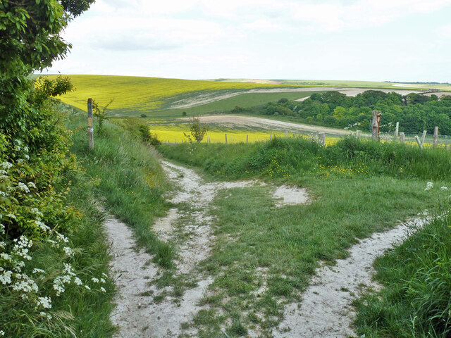
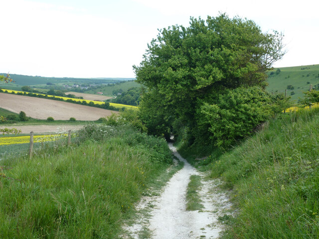
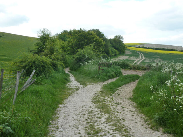
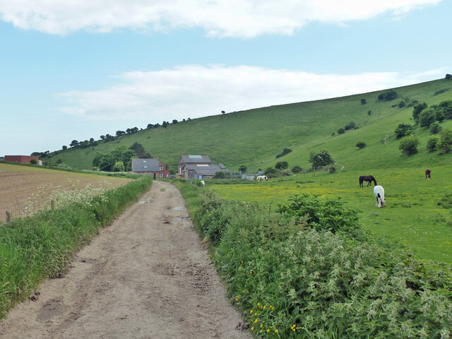
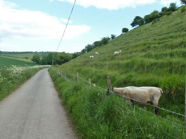
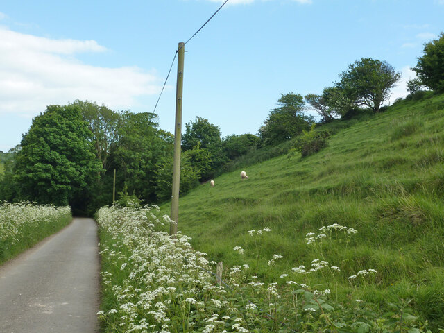
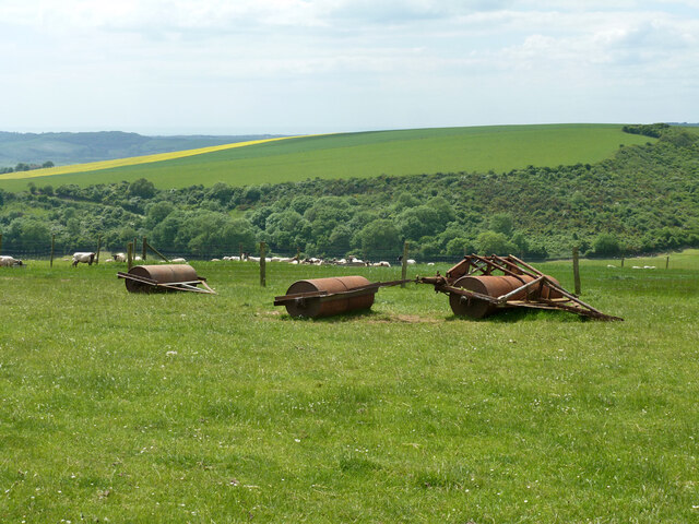
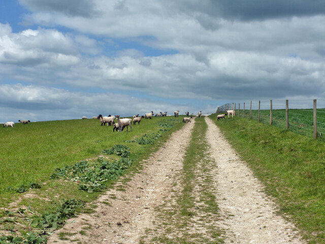
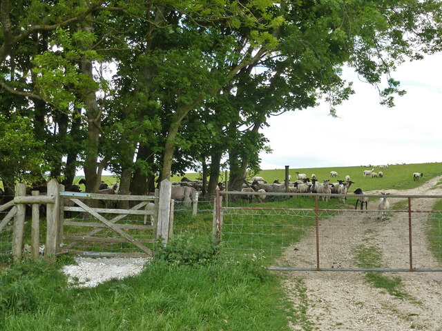
Situated near the village of Ashdown Forest, Snap Hill is characterized by its rolling green slopes and dense woodland. It is part of the picturesque landscape that inspired author A.A. Milne's beloved Winnie-the-Pooh stories. The hill is known for its tranquil and serene atmosphere, making it an ideal spot for hiking, walking, and picnicking.

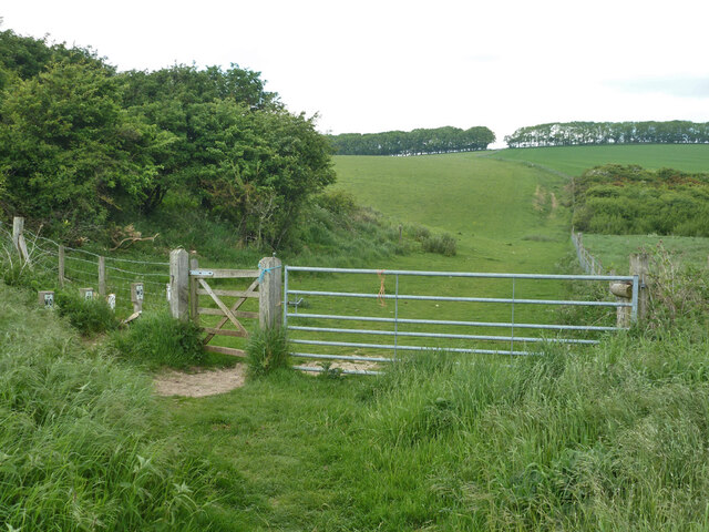
The hill is easily accessible by foot, and there are several well-marked trails that lead to its summit. The ascent is relatively gentle, making it suitable for individuals of all fitness levels. As visitors make their way to the top, they are treated to breathtaking views of the surrounding countryside, including the iconic Ashdown Forest and its diverse array of wildlife.

Snap Hill also holds historical significance, as it is believed to have been an ancient boundary marker between the counties of Sussex and Kent. Its strategic location made it an important landmark in the region's history.

Overall, Snap Hill in Sussex is a picturesque and historically significant hill that offers visitors a chance to immerse themselves in the beauty of the English countryside. With its stunning views and peaceful ambiance, it is a must-visit destination for nature enthusiasts and those seeking a tranquil escape from the bustling city life.

If you have any feedback on the listing, please let us know in the comments section below.
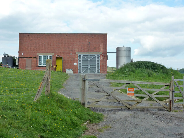
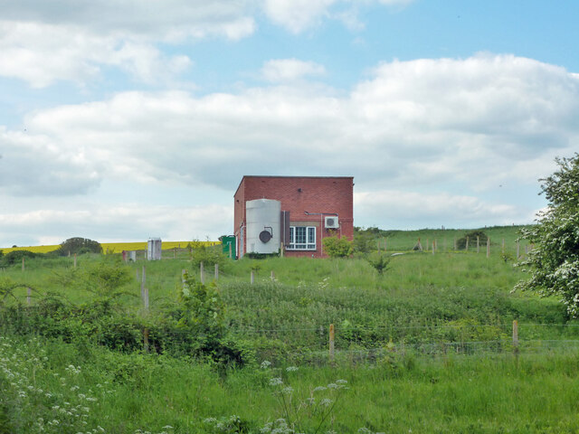
Snap Hill Images

Images are sourced within 2km of 50.815593/0.074296832 or Grid Reference TQ4603. Thanks to Geograph Open Source API. All images are credited.

View NE over Stump Bottom
Bridleway South Heighton 5 Towards the South Downs Way (along the skyline), Beddingham and Firle.
Bridleway South Heighton 5
Towards the South Downs Way (along the skyline), Beddingham and Firle.
Bridleway junction, South Heighton Looking from bridleway South Heighton 6a from the housing of Denton. 6b goes left at a lower level, 5 left at a higher level, 11 comes in from the right.
Bridleway junction, South Heighton
Looking from bridleway South Heighton 6a from the housing of Denton. 6b goes left at a lower level, 5 left at a higher level, 11 comes in from the right.
Bridleway South Heighton 11 Dropping down into Poverty Bottom towards Norton and Bishopstone.
Bridleway South Heighton 11
Dropping down into Poverty Bottom towards Norton and Bishopstone.
Tree belt, Poverty Bottom An end-on view, it is quite long.
Tree belt, Poverty Bottom
An end-on view, it is quite long.
Bridleway South Heighton 11 Into the bushes, starting the climb out of Poverty Bottom. The track right is just for field access.
Bridleway South Heighton 11
Into the bushes, starting the climb out of Poverty Bottom. The track right is just for field access.
West side of Poverty Bottom
Track towards pumping station, Poverty Bottom Bridleway South Heighton 11.
Track towards pumping station, Poverty Bottom
Bridleway South Heighton 11.
Pumping station, Poverty Bottom A modern addition to the older buildings on the other side of the track. It is sited where a well was mapped in Victorian times.
Pumping station, Poverty Bottom
A modern addition to the older buildings on the other side of the track. It is sited where a well was mapped in Victorian times.
Sheep, Norton Bottom The road is access to a pumping station, it is also bridleway South Heighton 11.
Sheep, Norton Bottom
The road is access to a pumping station, it is also bridleway South Heighton 11.
Bridleway South Heighton 11, Norton Bottom Surfaced up to a pumping station some way behind the camera.
Bridleway South Heighton 11, Norton Bottom
Surfaced up to a pumping station some way behind the camera.
Dew pond, Blackcap Hill Large, but not very obvious and not very wet.
Dew pond, Blackcap Hill
Large, but not very obvious and not very wet.
Rollers on Blackcap Hill
Sheep, Blackcap Hill The track is bridleway Beddingham 5.
Sheep, Blackcap Hill
The track is bridleway Beddingham 5.
Gate on bridleway at parish boundary Bridleway South Heighton 7 becomes Beddingham 5 on the other side.
Gate on bridleway at parish boundary
Bridleway South Heighton 7 becomes Beddingham 5 on the other side.
Bridleway descending into Home Bottom Bridleway South Heighton 7 from Blackcap Hill.
Bridleway descending into Home Bottom
Bridleway South Heighton 7 from Blackcap Hill.
Bridleway gate, Home Bottom Bridleway South Heighton 7 up to Blackcap Hill.
Bridleway gate, Home Bottom
Bridleway South Heighton 7 up to Blackcap Hill.
Show me another place!

Snap Hill is located at Grid Ref: TQ4603 (Lat: 50.815593, Lng: 0.074296832)

Administrative County: East Sussex

District: Lewes

Police Authority: Sussex

What 3 Words

///keep.claim.endlessly. Near Newhaven, East Sussex

Related Wikis

Tarring Neville

Tarring Neville is a village and civil parish in the Lewes District of East Sussex, England. The village is located five miles (8 km) south of Lewes, on...

Denton, East Sussex

Denton is a small village in the civil parish of Newhaven, in the Lewes district, in the county of East Sussex, England. It adjoins the villages of South...

South Heighton

South Heighton is a village and civil parish in the Lewes District of East Sussex, England. The village is seven miles (12 km) south of Lewes. In the...

Newhaven, East Sussex

Newhaven is a port town in East Sussex in England, lying at the mouth of the River Ouse. The town developed during the Middle Ages as the nearby port of...

Firle Escarpment

Firle Escarpment is a 302.1-hectare (747-acre) biological Site of Special Scientific Interest north of Seaford in East Sussex.This is a long stretch of...

Newhaven ERF

The Newhaven ERF (Energy Recovery Facility) is an incinerator, in the town of Newhaven in the English county of East Sussex, for the treatment of up to...

Newhaven Town railway station

Newhaven Town railway station is the main station serving Newhaven, East Sussex, England, the other being Newhaven Harbour. A third station, Newhaven Marine...

Firle Beacon

Firle Beacon is a hill in the South Downs of southern England. It is 217 metres high and is a Marilyn. It commands a far-reaching view. When the prevailing...

Nearby Amenities

Located within 500m of 50.815593,0.074296832
Fore Hill
Created By: Potlatch 0.10f
Place: locality
Lat/Long: 50.8182943/0.075779
Bench
Backrest: no
Inscription: Paul Watts Husband, Dad & Grandad Forever In Our Hearts
Material: wood
Seats: 2
Lat/Long: 50.8133079/0.0731575
Man Made: cairn
Lat/Long: 50.8132987/0.0731571
The data included in this document is from www.openstreetmap.org. The data is made available under ODbL.

Have you been to Snap Hill?

Leave your review of Snap Hill below (or comments, questions and feedback).