Mount Pleasant
Settlement in Kent Thanet
England
Mount Pleasant

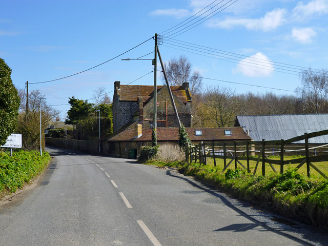
Mount Pleasant is a picturesque village located in the county of Kent, England. Situated in the South East of the country, it is part of the borough of Tunbridge Wells. The village is nestled amidst the rolling hills and lush green countryside that characterizes the region.
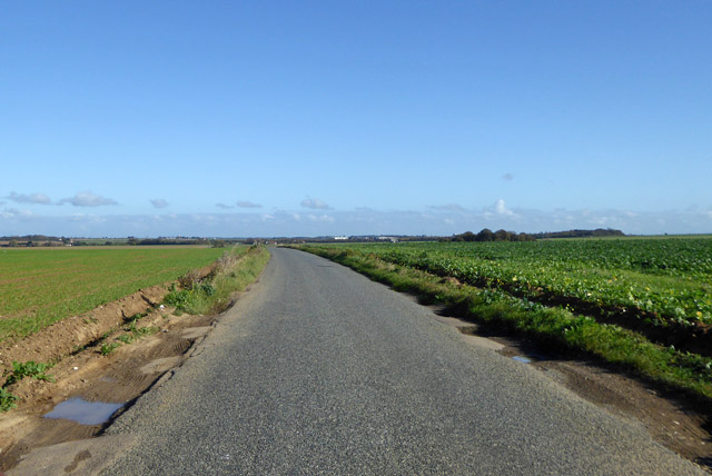
Mount Pleasant offers residents and visitors a tranquil and idyllic setting to enjoy, with its charming, traditional English village atmosphere. The area is renowned for its stunning natural beauty, with panoramic views of the surrounding countryside and a peaceful ambiance that attracts those seeking a quieter, rural lifestyle.
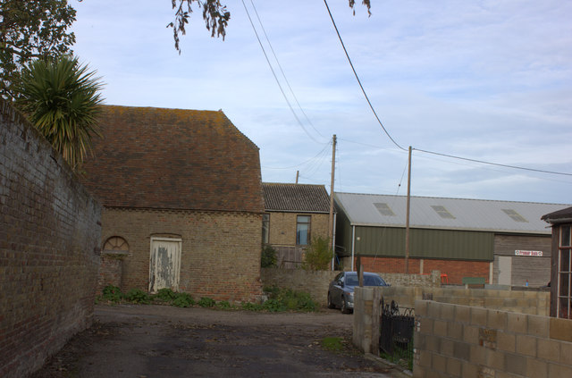
The village itself is relatively small, with a close-knit community that fosters a strong sense of belonging. It features a scattering of quaint cottages and period buildings, which add to its charm and character. The local church, St. Mary's, is a notable landmark, dating back to the 12th century and showcasing beautiful architectural details.
Although primarily a residential area, Mount Pleasant benefits from its proximity to nearby towns and cities. Tunbridge Wells, with its array of shops, restaurants, and entertainment options, is just a short drive away. The village also has easy access to the stunning Kent countryside, offering opportunities for outdoor activities such as hiking, cycling, and horse riding.
In summary, Mount Pleasant is a delightful village in the heart of the Kent countryside, offering a peaceful retreat from the hustle and bustle of urban life. Its natural beauty, friendly community, and convenient location make it an attractive place to live or visit.
If you have any feedback on the listing, please let us know in the comments section below.
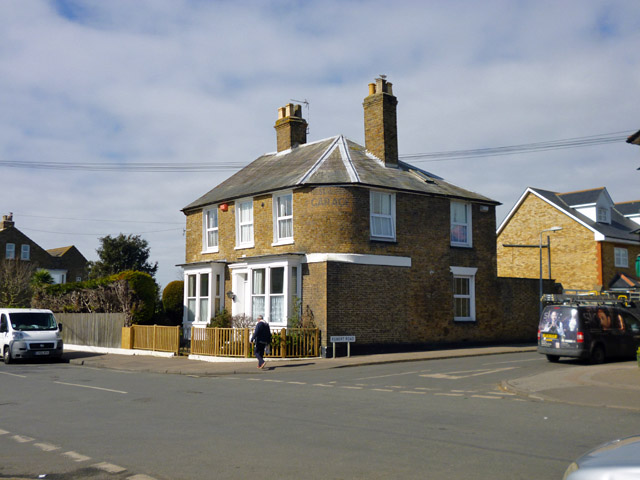
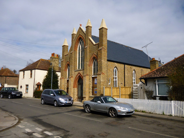
Mount Pleasant Images
Images are sourced within 2km of 51.3446/1.319215 or Grid Reference TR3165. Thanks to Geograph Open Source API. All images are credited.


Mount Pleasant is located at Grid Ref: TR3165 (Lat: 51.3446, Lng: 1.319215)
Administrative County: Kent
District: Thanet
Police Authority: Kent
What 3 Words
///trembles.vivid.neatly. Near Birchington-on-Sea, Kent
Nearby Locations
Related Wikis
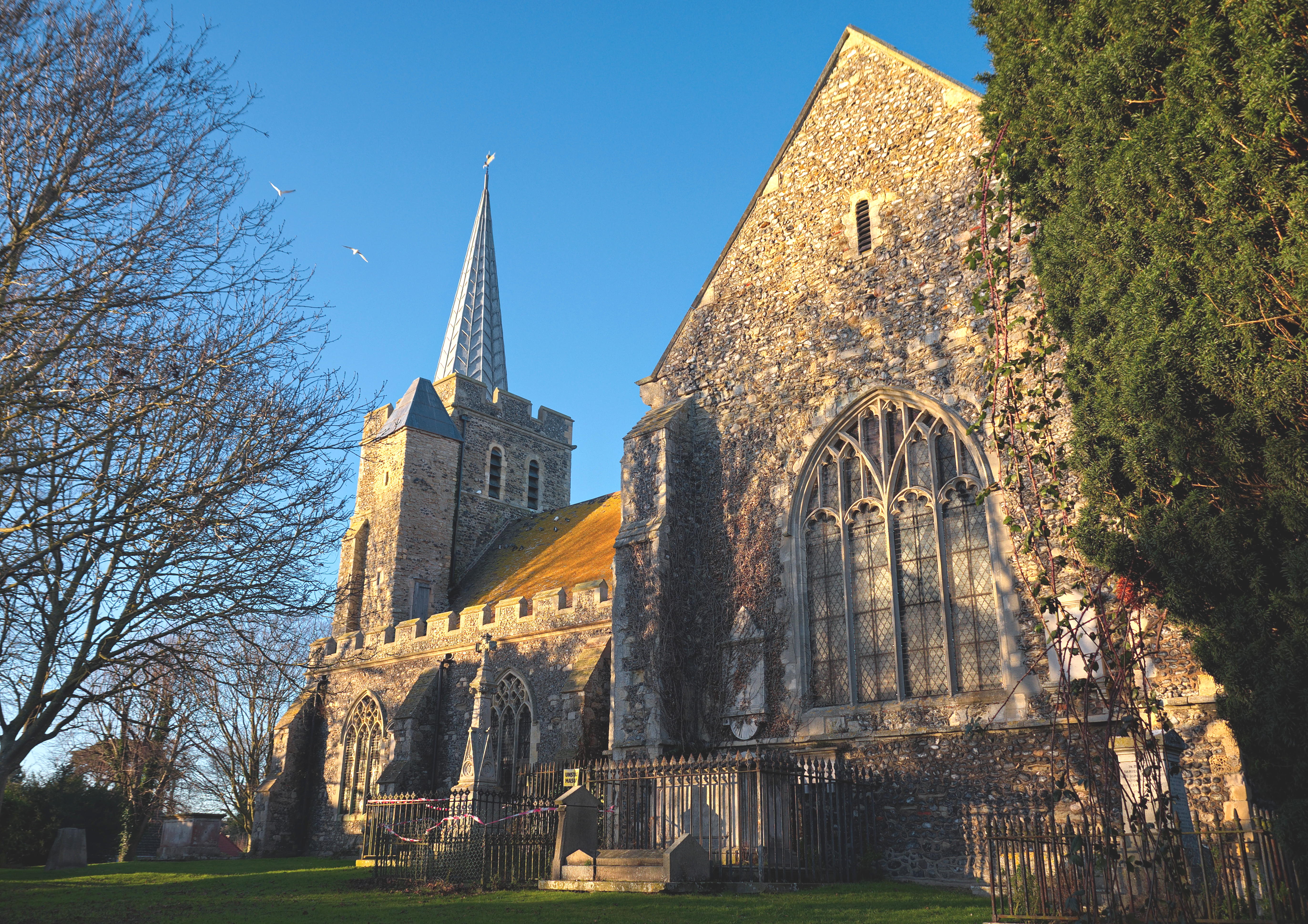
Minster-in-Thanet
Minster, also known as Minster-in-Thanet, is a village and civil parish in the Thanet District of Kent, England. It is the site of Minster in Thanet Priory...
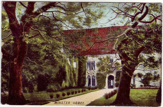
Minster in Thanet Priory
Minster Abbey is the name of two abbeys in Minster-in-Thanet, Kent, England. The first was a 7th-century foundation which lasted until the Dissolution...

Acol, Kent
Acol (formerly Acholt) is a hamlet and civil parish in the Thanet District of Kent, England, about 1.5 miles (2.4 km) south of Birchington. It is one of...

Minster railway station
Minster railway station serves the village of Minster in Kent and surrounding villages. It is next to a junction between Canterbury West, Ramsgate and...

Manston Airport
Manston Airport is a British airport. Originally operated as RAF Manston, from 1918, it has also operated as a commercial airport and was known as Kent...

Defence Fire Training and Development Centre
The Defence Fire Training and Development Centre (DFTDC, formerly FSCTE Manston) was the site of the Ministry of Defence's firefighter training. It occupied...

RAF Manston
Royal Air Force Manston or more simply RAF Manston is a former Royal Air Force station located in the north-east of Kent, at grid reference TR334663 on...
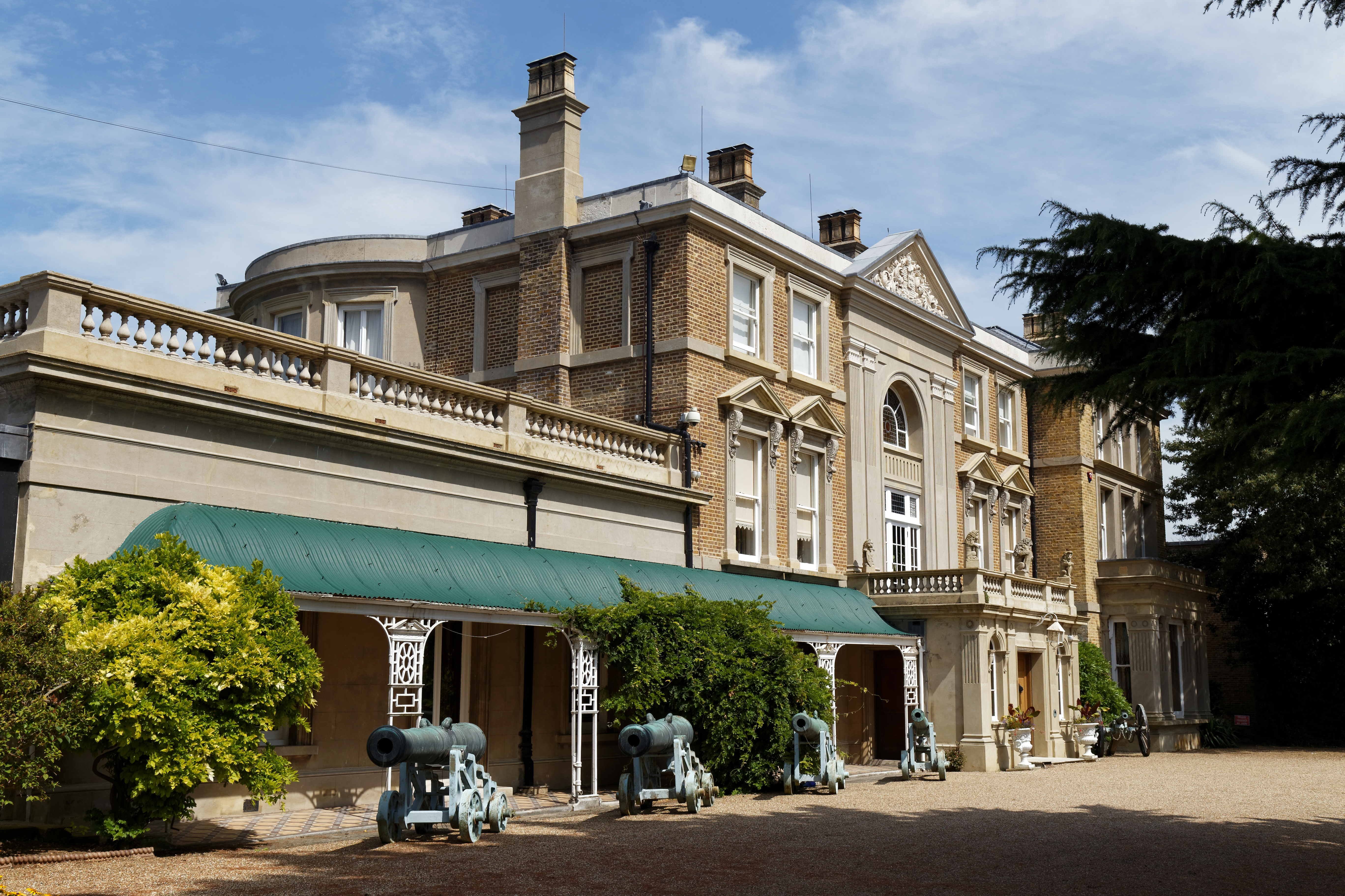
Quex Park
Quex Park itself is 250 acres (1.0 km2) of parkland and gardens plus a further 1500 acres of farmed land, with Quex House and other buildings situated...
Nearby Amenities
Located within 500m of 51.3446,1.319215Have you been to Mount Pleasant?
Leave your review of Mount Pleasant below (or comments, questions and feedback).