Moss Side

Settlement in Lancashire

England

Moss Side

Out in the country - once
Out in the country - once Credit: David Long

The requested URL returned error: 429 Too Many Requests

If you have any feedback on the listing, please let us know in the comments section below.
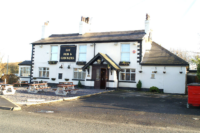
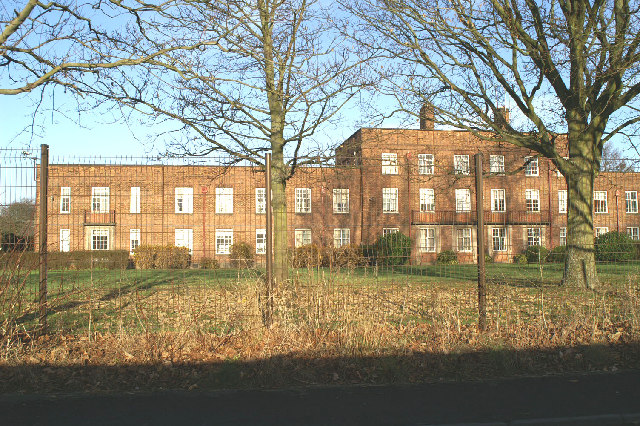
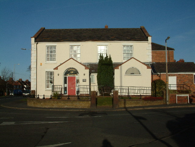
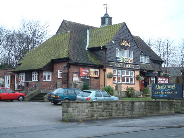
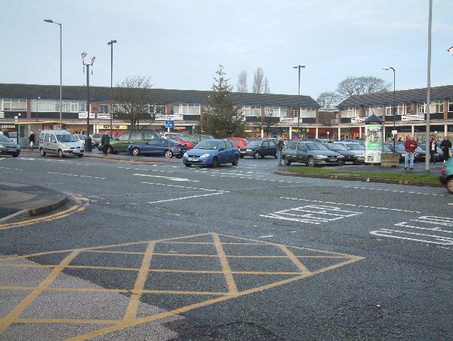
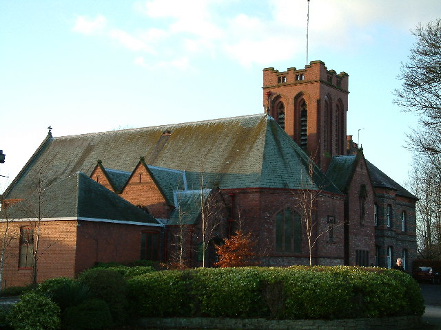
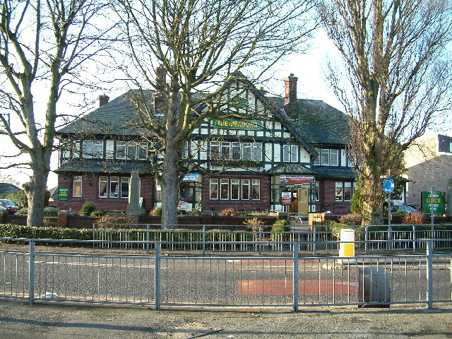
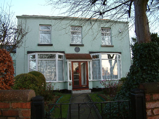
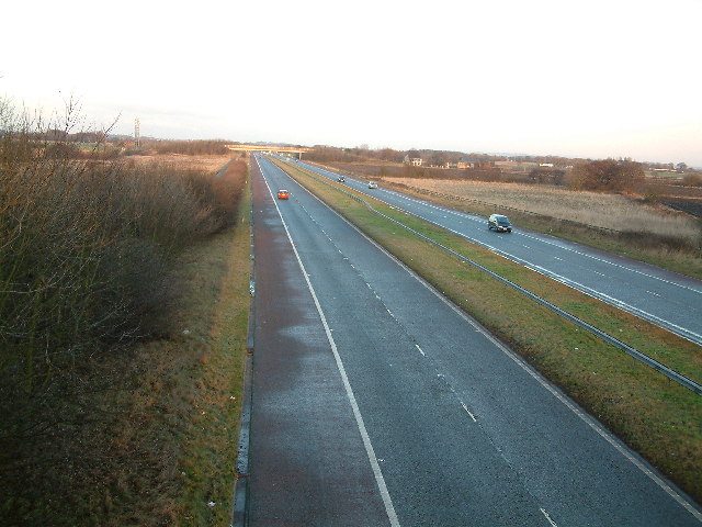
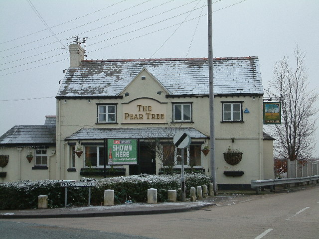
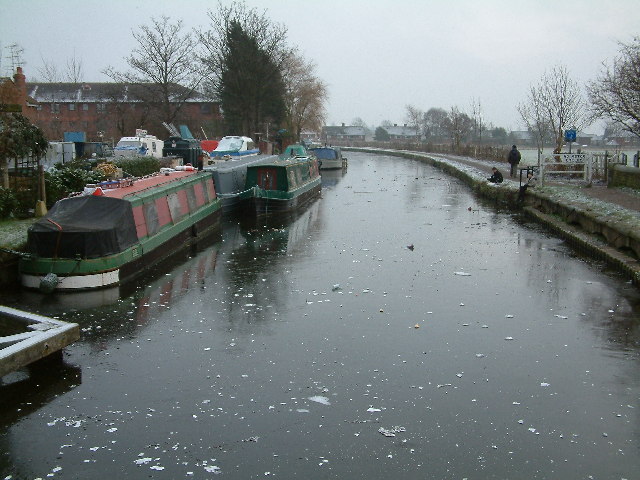
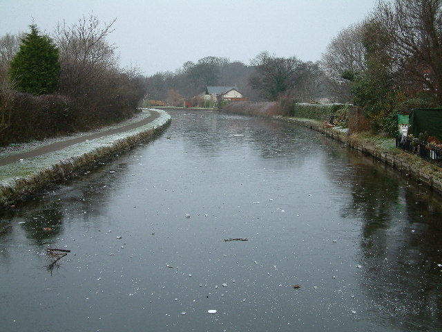
Moss Side Images

Images are sourced within 2km of 53.514447/-2.92125 or Grid Reference SD3902. Thanks to Geograph Open Source API. All images are credited.

Out in the country - once
Ashworth Hospital
Ashworth Hospital
Escape to the country
A59 junction
A59 junction
High Pastures This large house now a doctors surgery in Maghull, was during the war the headquarters for the local Home Guard.
High Pastures
This large house now a doctors surgery in Maghull, was during the war the headquarters for the local Home Guard.
Coach & Horses Big pub in Maghull, Liverpool Road North - A 5147 - close to the boundary with Lydiate.
Coach & Horses
Big pub in Maghull, Liverpool Road North - A 5147 - close to the boundary with Lydiate.
Maghull Square
Maghull Square
St George's Located in Station Road Maghull
St George's
Located in Station Road Maghull
The Meadows On Liverpool Road, South opposite Hall Lane, Maghull.
The Meadows
On Liverpool Road, South opposite Hall Lane, Maghull.
Rafael Sabatini 1875-1950 author and dramatist lived here as a child.
Rafael Sabatini
1875-1950 author and dramatist lived here as a child.
M58 Motorway  (the quiet one)
M58 Motorway (the quiet one)
The Pear Tree Melling Mount
The Pear Tree
Melling Mount
Ancient Chapel Maghull Located in the grounds of St Andrews Church. Parts of this chapel date from the 13th century. It is open for public viewing only a few days per year.
Ancient Chapel Maghull
Located in the grounds of St Andrews Church. Parts of this chapel date from the 13th century. It is open for public viewing only a few days per year.
Frank Hornby This is the grave of Frank Hornby, the inventor and manufacturer of Meccano, Dinky Toys, and Hornby Trains. Located in the grounds of St Andrews Church, Maghull.
Frank Hornby
This is the grave of Frank Hornby, the inventor and manufacturer of Meccano, Dinky Toys, and Hornby Trains. Located in the grounds of St Andrews Church, Maghull.
Frank Hornby Grave (close-up)
Frank Hornby
Grave (close-up)
The Great Mogul Located on Station Road, Maghull.
The Great Mogul
Located on Station Road, Maghull.
Thin Ice Leeds & Liverpool Canal Looking south, from Hall Lane Bridge on a cold day.
Thin Ice
Leeds & Liverpool Canal Looking south, from Hall Lane Bridge on a cold day.
Thin Ice Leeds & Liverpool Canal looking north, From Hall Lane Bridge on a cold day.
Thin Ice
Leeds & Liverpool Canal looking north, From Hall Lane Bridge on a cold day.
Show me another place!

Moss Side is located at Grid Ref: SD3902 (Lat: 53.514447, Lng: -2.92125)

Unitary Authority: Sefton

Police Authority: Merseyside

What 3 Words

///example.chicken.soaps. Near Maghull, Merseyside

Nearby Locations

Moss Side Moss Side

Related Wikis

Maghull North railway station

Maghull North is a station in Maghull, Merseyside, England, on the Northern Line of Merseyrail. The station opened on 18 June 2018 to serve the north end...

HM Prison Kennet

HM Prison Kennet was a Category C men's prison, located in Parkbourn, Maghull, in the Metropolitan Borough of Sefton in Merseyside, England. The prison...

Ashworth Hospital

Ashworth Hospital is a high-security psychiatric hospital in Maghull, 10 miles (16 km) northeast of Liverpool. It is a part of Mersey Care NHS Foundation...

Kennessee Green

Kennessee Green is a village in the southern half of Maghull in Metropolitan Borough of Sefton, Merseyside, England. Kennessee Green has two churches:...

Nearby Amenities

Located within 500m of 53.514447,-2.92125
Moss Side
Is In: Maghull, Sefton, Merseyside, England, UK
Place: neighbourhood
Source: npe
Lat/Long: 53.5155117/-2.9264241
Noexit: yes
Lat/Long: 53.5187912/-2.921906
Bus Stop
PARK LANE/PARKBOURN DRIVE
Bus: yes
Naptan AtcoCode: 2800S55041B
Naptan Bearing: W
Naptan CommonName: PARK LANE/PARKBOURN DRIVE
Naptan Indicator: PARK LANE/DEYES LANE
Naptan Landmark: OPP 309
Naptan NaptanCode: mergawjd
Naptan Notes: No Notes
Naptan PlusbusZoneRef: LVRPLCH
Naptan ShortCommonName: Pk Ln/Parkbourn Dr
Naptan Street: PARK LANE
Naptan Verified: no
Public Transport: platform
Source: naptan_import
Lat/Long: 53.5184443/-2.9185259
Bus Stop
MOSS LANE/DEYES LANE
Bus: yes
Naptan AtcoCode: 2800S55046A
Naptan Bearing: SE
Naptan CommonName: MOSS LANE/DEYES LANE
Naptan Indicator: MOSS LANE/DEYES LANE
Naptan Landmark: O/S 99/101
Naptan NaptanCode: mergawmg
Naptan Notes: No Notes
Naptan PlusbusZoneRef: LVRPLCH
Naptan ShortCommonName: Moss Ln/Deyes Ln
Naptan Street: MOSS LANE
Naptan Verified: no
Public Transport: platform
Source: naptan_import
Lat/Long: 53.5167214/-2.9274625
Bus Stop
MOSS LANE/DEYES LANE
Bus: yes
Naptan AtcoCode: 2800S55046B
Naptan Bearing: NW
Naptan CommonName: MOSS LANE/DEYES LANE
Naptan Indicator: MOSS LANE/DEYES LANE
Naptan Landmark: O/S 104/106
Naptan NaptanCode: mergawmj
Naptan Notes: No Notes
Naptan PlusbusZoneRef: LVRPLCH
Naptan ShortCommonName: Moss Ln/Deyes Ln
Naptan Street: MOSS LANE
Naptan Verified: no
Public Transport: platform
Source: naptan_import
Lat/Long: 53.5166052/-2.9273695
Bus Stop
FOX HOUSE LANE/DEYES LANE
Bus: yes
Naptan AtcoCode: 2800S55047A
Naptan Bearing: N
Naptan CommonName: FOX HOUSE LANE/DEYES LANE
Naptan Indicator: FOX HOUSE LANE/DEYES LANE
Naptan Landmark: O/S MAGHULL CHAPEL
Naptan NaptanCode: mergawmp
Naptan Notes: No Notes
Naptan PlusbusZoneRef: LVRPLCH
Naptan ShortCommonName: Foxhse Ln/Deyes Ln
Naptan Street: FOX HOUSE LANE
Naptan Verified: no
Public Transport: platform
Source: naptan_import
Lat/Long: 53.5141129/-2.9265157
Bus Stop
FOX HOUSE LANE/HIGHFIELD ROAD
Bus: yes
Naptan AtcoCode: 2800S55047B
Naptan Bearing: N
Naptan CommonName: FOX HOUSE LANE/HIGHFIELD ROAD
Naptan Indicator: FOX HOUSE LANE/DEYES LANE
Naptan Landmark: OPP 93 CORNER HIGHFIELD ROAD
Naptan NaptanCode: mergawmt
Naptan Notes: No Notes
Naptan PlusbusZoneRef: LVRPLCH
Naptan ShortCommonName: Deyes Ln
Naptan Street: FOX HOUSE LANE
Naptan Verified: no
Public Transport: platform
Source: naptan_import
Lat/Long: 53.5146968/-2.9263072
Bus Stop
DEYES LANE/MOSS LANE
Bus: yes
Naptan AtcoCode: 2800S55061A
Naptan Bearing: W
Naptan CommonName: DEYES LANE/MOSS LANE
Naptan Indicator: DEYES LANE/MOSS LANE
Naptan Landmark: O/S 182 CORNER GREENHEYS DRIVE
Naptan NaptanCode: mergdaga
Naptan Notes: No Notes
Naptan PlusbusZoneRef: LVRPLCH
Naptan ShortCommonName: Deyes Ln/Moss Ln
Naptan Street: DEYES LANE
Naptan Verified: no
Public Transport: platform
Source: naptan_import
Lat/Long: 53.5155964/-2.9244725
Bus Stop
DEYES LANE/MOSS VIEW
Bus: yes
Naptan AtcoCode: 2800S55061B
Naptan Bearing: SW
Naptan CommonName: DEYES LANE/MOSS VIEW
Naptan Indicator: DEYES LANE/MOSS LANE
Naptan Landmark: OPP MOSS VIEW O/S 215
Naptan NaptanCode: mergdagd
Naptan Notes: No Notes
Naptan PlusbusZoneRef: LVRPLCH
Naptan ShortCommonName: Deyes Ln/Moss View
Naptan Street: DEYES LANE
Naptan Verified: no
Public Transport: platform
Source: naptan_import
Lat/Long: 53.5156818/-2.9249967
Bus Stop
Moss Lane/douglas Drive
Bus: yes
Naptan AtcoCode: 2800S55096A
Naptan Bearing: NW
Naptan CommonName: Moss Lane/douglas Drive
Naptan Indicator: Moss Lane/douglas Drive
Naptan Landmark: Douglas Drive
Naptan NaptanCode: mergpapj
Naptan PlusbusZoneRef: LVRPLCH
Naptan ShortCommonName: Moss Lane
Naptan Street: Moss Lane
Naptan Verified: no
Public Transport: platform
Source: naptan_import
Lat/Long: 53.5161268/-2.9264692
Maghull North
Railway: site
Ref Tiploc: MAGHNTH
Lat/Long: 53.5181698/-2.9202742
Mini Roundabout
Direction: clockwise
Lat/Long: 53.5167146/-2.9201085
Post Box
Croftfield Postbox
Lat/Long: 53.5124874/-2.9274045
Maghull North
Network: Northern Line
Operator: Merseyrail
Ref Tiploc: MAGHNTH
Lat/Long: 53.5164036/-2.9214913
Maghull North
Network: National Rail
Network Website: https://www.nationalrail.co.uk/stations/mns/
Network Wikidata: Q26334
Operator: Merseyrail
Public Transport: station
Railway: station
Ref Crs: MNS
Ref Tiploc: MAGNTH
Train: yes
Wheelchair: yes
Wikidata: Q6730453
Wikipedia: en:Maghull North railway station
Lat/Long: 53.5167407/-2.9212339
Crossing
Crossing: traffic_signals
Lat/Long: 53.5159164/-2.919876
Maghull North
Operator: Merseyrail
Public Transport: stop_position
Railway: stop
Train: yes
Lat/Long: 53.5162789/-2.9214958
Maghull North
Operator: Merseyrail
Public Transport: stop_position
Railway: stop
Train: yes
Lat/Long: 53.5177529/-2.9206114
Bus Stop
Bus: yes
Public Transport: platform
Shelter: no
Lat/Long: 53.51579/-2.9188761
Crossing
Crossing: uncontrolled
Crossing Island: no
Tactile Paving: no
Lat/Long: 53.5167834/-2.9204514
Crossing
Crossing: uncontrolled
Crossing Island: no
Tactile Paving: no
Lat/Long: 53.516466/-2.9209542
Crossing
Crossing: uncontrolled
Crossing Island: no
Tactile Paving: no
Lat/Long: 53.5168357/-2.92068
Noexit: yes
Lat/Long: 53.5172929/-2.920111
The data included in this document is from www.openstreetmap.org. The data is made available under ODbL.

Have you been to Moss Side?

Leave your review of Moss Side below (or comments, questions and feedback).