Moss Side
Settlement in Lancashire South Ribble
England
Moss Side
The requested URL returned error: 429 Too Many Requests
If you have any feedback on the listing, please let us know in the comments section below.
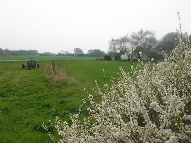
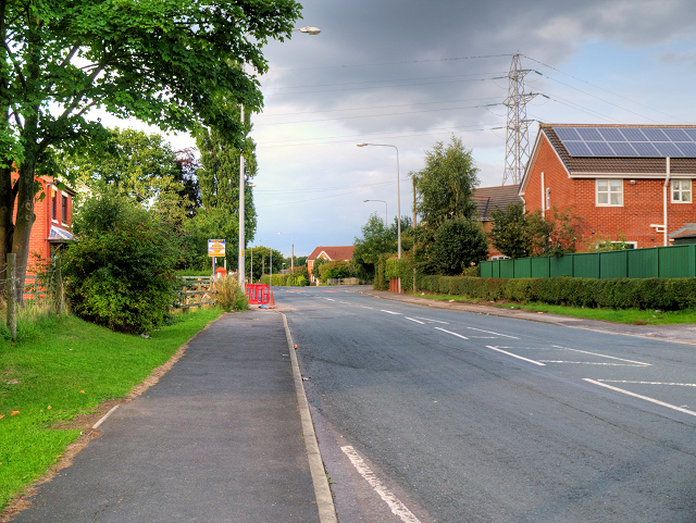
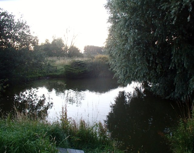
Moss Side Images
Images are sourced within 2km of 53.692805/-2.7324339 or Grid Reference SD5122. Thanks to Geograph Open Source API. All images are credited.


Moss Side is located at Grid Ref: SD5122 (Lat: 53.692805, Lng: -2.7324339)
Administrative County: Lancashire
District: South Ribble
Police Authority: Lancashire
What 3 Words
///tummy.copies.poetic. Near Leyland, Lancashire
Nearby Locations
Related Wikis

Moss Side, South Ribble
Moss Side is a suburban, semi-rural community on the western side of Leyland, Lancashire, in the borough of South Ribble, England. The suburb is growing...

Midge Hall
Midge Hall is a small village on the outskirts of Leyland in the borough of South Ribble, Lancashire, England. Notable features include the Midge Hall...

Academy@Worden
Worden Academy is a coeducational secondary school with academy status, located in Leyland, in the South Ribble district of Lancashire, England. It opened...
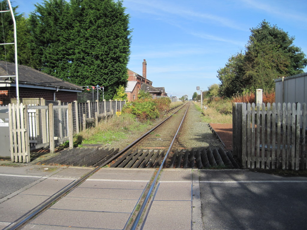
Midge Hall railway station
Midge Hall railway station was located in Midge Hall, Leyland, closing to passengers in 1961, although the line still exists as the Ormskirk Branch Line...
Nearby Amenities
Located within 500m of 53.692805,-2.7324339Have you been to Moss Side?
Leave your review of Moss Side below (or comments, questions and feedback).