Moss Side
Settlement in Lancashire Fylde
England
Moss Side
Moss Side is a vibrant residential area located in the city of Manchester, Lancashire, England. Situated approximately 1.5 miles south of the city center, Moss Side is bordered by Rusholme to the north, Hulme to the west, and Fallowfield to the south. Historically, Moss Side was an agricultural area until the 19th century when it transformed into a predominantly working-class neighborhood due to the Industrial Revolution.
Today, Moss Side is a culturally diverse community known for its rich cultural heritage and strong sense of community spirit. The area is home to a mix of residential properties, including Victorian terraced houses, council estates, and modern apartment complexes. The neighborhood offers a range of amenities, including local shops, supermarkets, and schools, catering to the needs of its residents.
Moss Side has undergone significant regeneration efforts in recent years, with ongoing projects aimed at improving housing, infrastructure, and community facilities. The area is well-connected to the rest of Manchester, with excellent transport links, including regular bus services and proximity to major roads.
Despite its troubled past, Moss Side has successfully transformed its reputation and is now a thriving and diverse community. It boasts a variety of cultural events, including the annual Caribbean Carnival, which attracts visitors from across the city. Additionally, Moss Side is known for its vibrant music scene, with numerous local artists and bands emerging from the area.
Overall, Moss Side is a lively and evolving neighborhood that continues to grow and embrace its multicultural roots, making it an attractive place to live and visit in Lancashire.
If you have any feedback on the listing, please let us know in the comments section below.
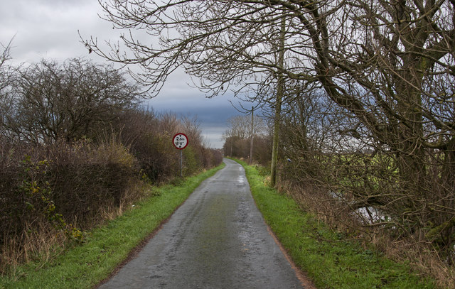
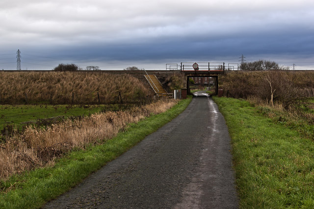
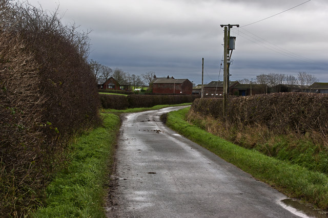
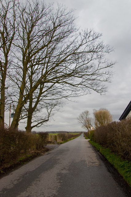
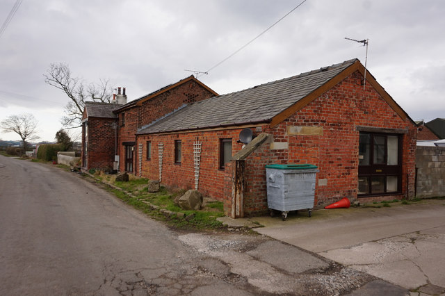
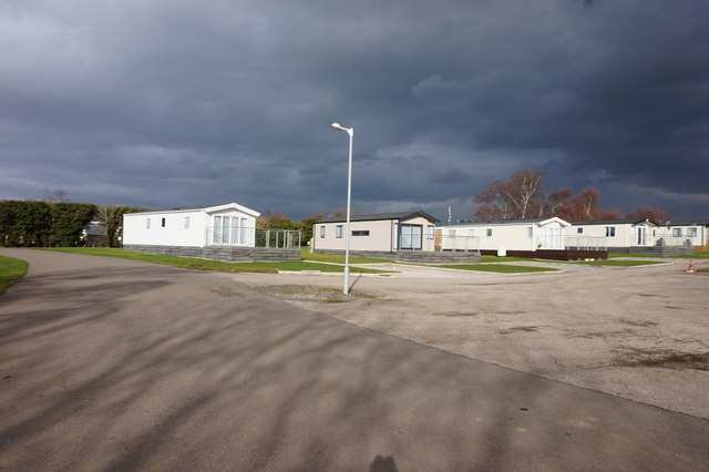
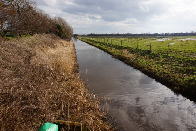
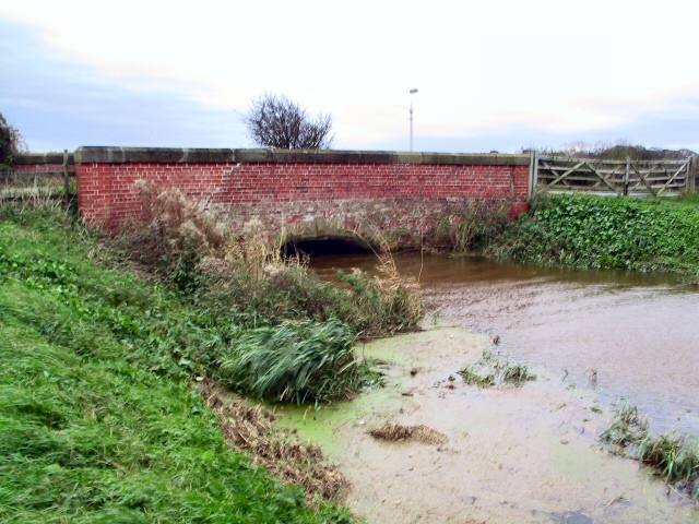
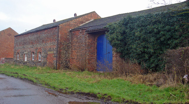
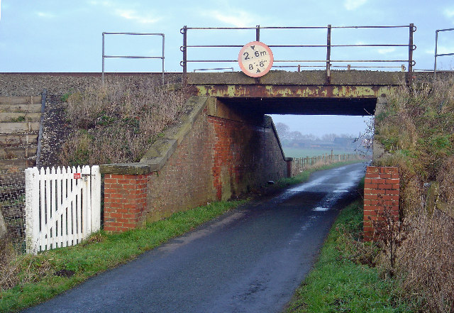
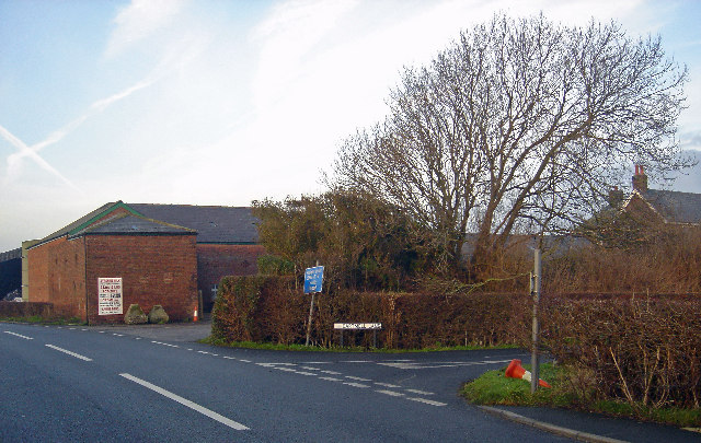
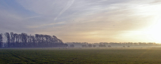
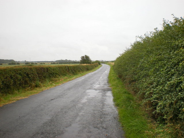
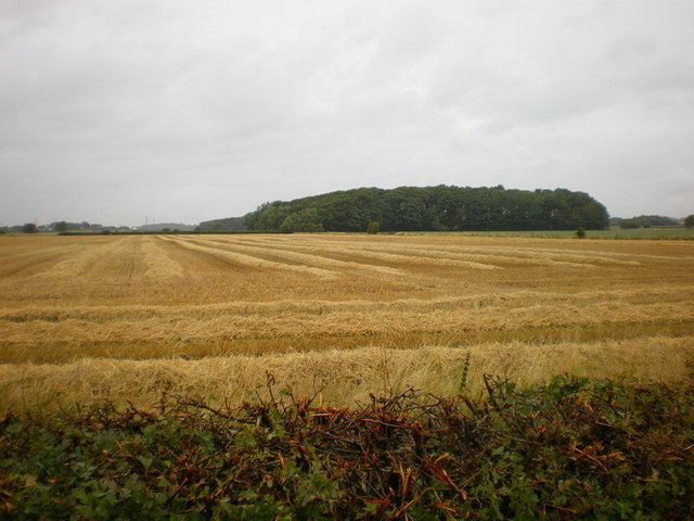
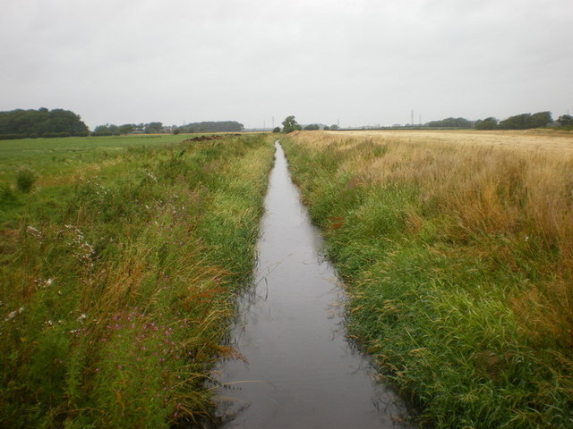
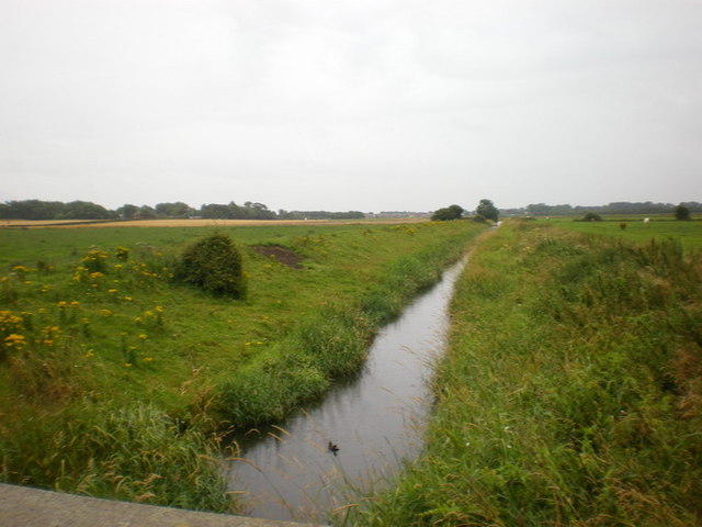
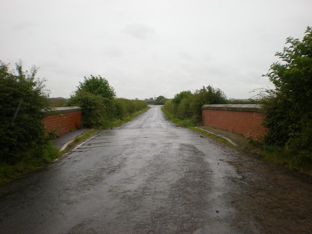
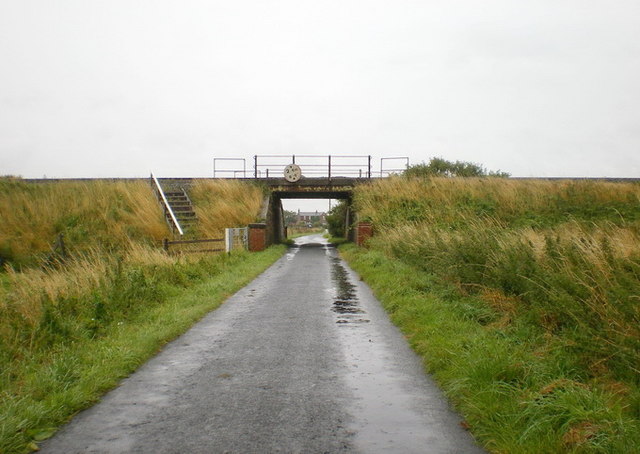
Moss Side Images
Images are sourced within 2km of 53.766695/-2.941328 or Grid Reference SD3830. Thanks to Geograph Open Source API. All images are credited.
Moss Side is located at Grid Ref: SD3830 (Lat: 53.766695, Lng: -2.941328)
Administrative County: Lancashire
District: Fylde
Police Authority: Lancashire
What 3 Words
///posting.exporters.throats. Near Wrea Green, Lancashire
Nearby Locations
Related Wikis

Moss Side railway station
Moss Side railway station is on the Blackpool South-to-Preston line, in Lancashire, England. It is located in Moss Side, a hamlet where the B5259 (Lytham...

Borough of Fylde
The Borough of Fylde is a local government district with borough status in Lancashire, England. It covers part of the Fylde plain, after which it is named...

Westby-with-Plumptons
Westby-with-Plumptons is a civil parish in Lancashire, England. The parish is in Fylde district and contains the hamlets of Great Plumpton, Little Plumpton...

Ribby-with-Wrea
Ribby-with-Wrea is a civil parish just west of Kirkham, in the Borough of Fylde and ceremonial county of Lancashire, England. It had a population of 1...
Nearby Amenities
Located within 500m of 53.766695,-2.941328Have you been to Moss Side?
Leave your review of Moss Side below (or comments, questions and feedback).