Morleymoor
Settlement in Derbyshire Erewash
England
Morleymoor
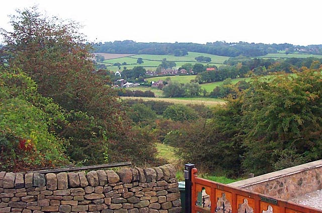
Morleymoor is a small village located in the county of Derbyshire, in the East Midlands region of England. Situated approximately 6 miles east of the city of Derby, it is nestled within the picturesque countryside and is surrounded by agricultural fields and rolling hills.
The village itself is characterized by its charming rural atmosphere and traditional English architecture. The houses in Morleymoor are predominantly made of stone, giving the village a timeless and classic feel. The population of the village is relatively small, with a tight-knit community that embodies the warmth and friendliness often associated with rural communities.
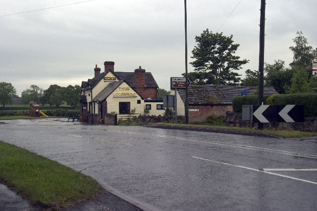
Despite its small size, Morleymoor offers a range of amenities to its residents. The village has a local pub, which serves as a social hub and provides a place for locals to gather and socialize. Additionally, there is a small convenience store that caters to the everyday needs of the residents.
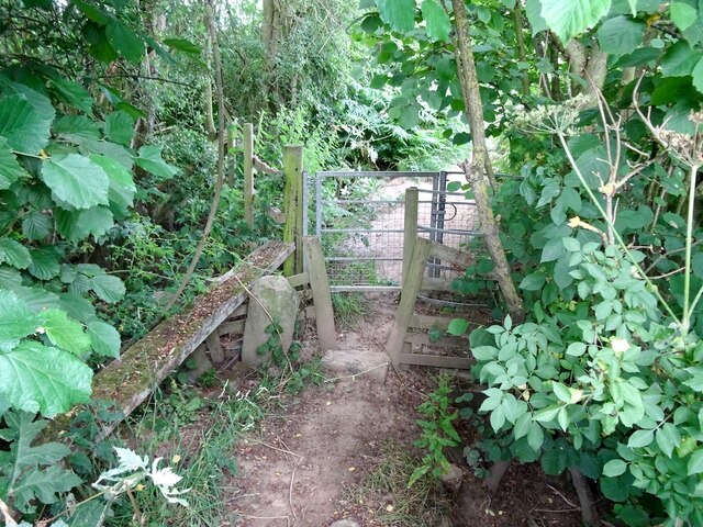
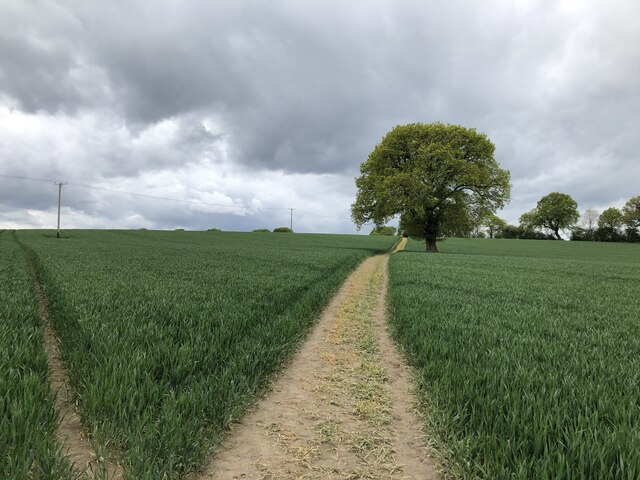
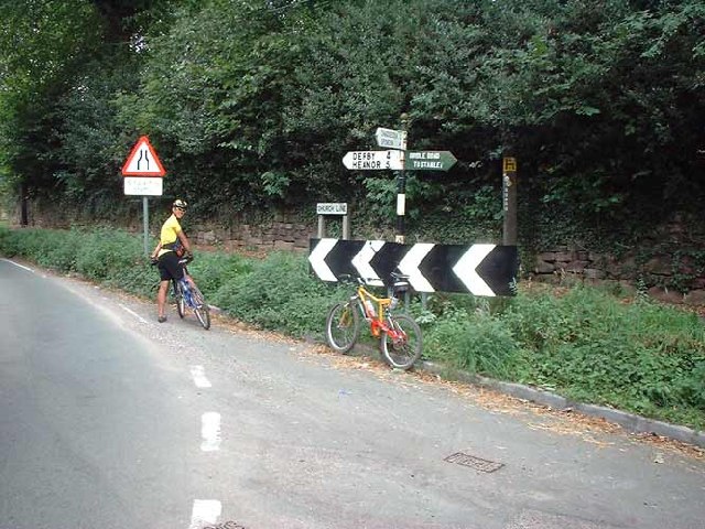
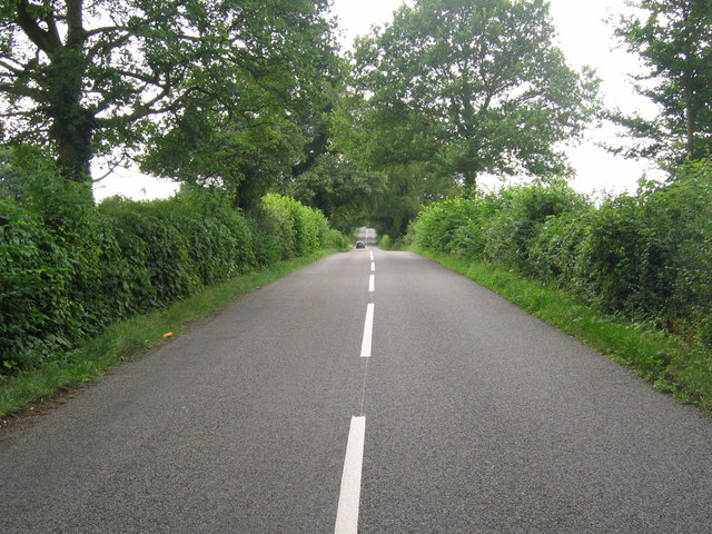
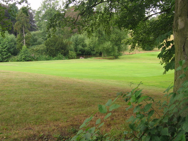
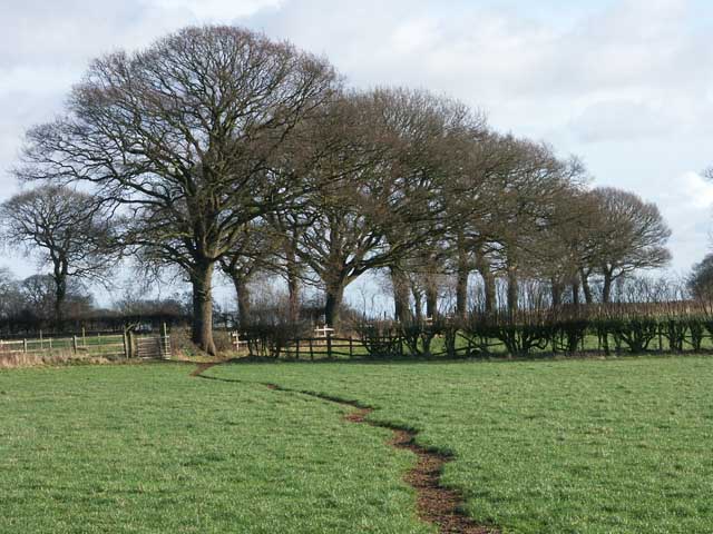
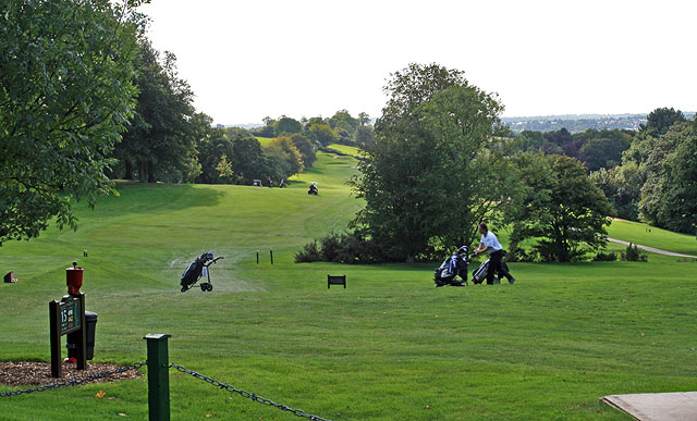
The surrounding area of Morleymoor is known for its natural beauty, making it an ideal location for outdoor enthusiasts. There are numerous walking and cycling routes, allowing residents and visitors to explore the stunning countryside and enjoy the tranquility that comes with it. Additionally, the nearby Morley Hayes Golf Course offers a fantastic opportunity for golf enthusiasts to practice their swing.
Overall, Morleymoor is a charming village that offers a peaceful and idyllic lifestyle, with a strong sense of community and access to beautiful natural surroundings.
If you have any feedback on the listing, please let us know in the comments section below.
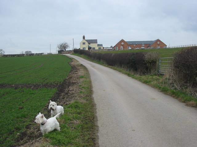
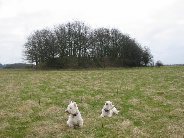
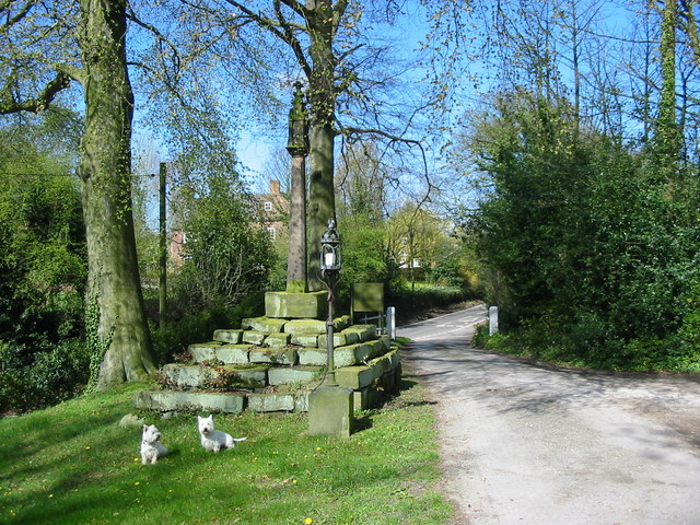
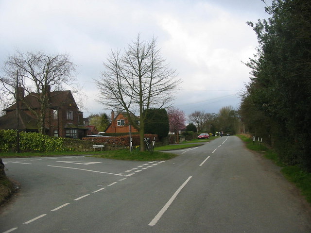
Morleymoor Images
Images are sourced within 2km of 52.96719/-1.423 or Grid Reference SK3841. Thanks to Geograph Open Source API. All images are credited.
Morleymoor is located at Grid Ref: SK3841 (Lat: 52.96719, Lng: -1.423)
Administrative County: Derbyshire
District: Erewash
Police Authority: Derbyshire
What 3 Words
///scale.cigar.vest. Near Little Eaton, Derbyshire
Nearby Locations
Related Wikis

Morley, Derbyshire
Morley is a village and civil parish within the Borough of Erewash in Derbyshire, England. It is on the eastern side of Morley Moor, with Morley Smithy...

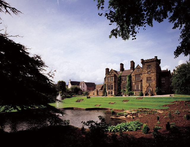
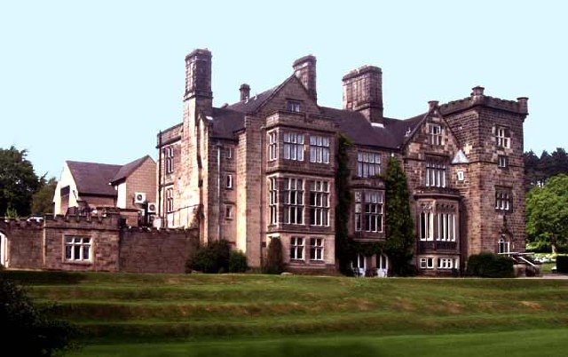
Breadsall Priory
Breadsall Priory is a former Augustinian priory in Derbyshire, situated around two kilometres north of Breadsall, and two kilometres east of Little Eaton...

Brackley Gate
Brackley Gate is a hamlet in the Erewash district, in Derbyshire, England. It forms part of the civil parish of Morley. It is located northeast of Derby...

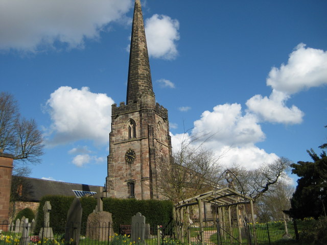
All Saints' Church, Breadsall
All Saints' Church, Breadsall is a Grade I listed parish church in the Church of England in Breadsall, Derbyshire. == History == The church dates from...

Breadsall
Breadsall is a village and civil parish in the Borough of Erewash in Derbyshire, England. The population of the village at the 2021 census was 792 Breadsall...

Horston Castle
Horston Castle (sometimes spelt Horeston and also known as Horsley Castle) is about 1 mile to the south of the village of Horsley, some 5 miles north of...

Mid Derbyshire (UK Parliament constituency)
Mid Derbyshire is a constituency represented in the House of Commons of the UK Parliament since its 2010 creation by Pauline Latham, a Conservative....

Oakwood, Derby
Oakwood is a modern housing estate in Derby, Derbyshire, England that was built mainly in the 1980s and 1990s. At the time of construction, it was one...
Nearby Amenities
Located within 500m of 52.96719,-1.423Have you been to Morleymoor?
Leave your review of Morleymoor below (or comments, questions and feedback).