Mornick

Settlement in Cornwall

England

Mornick

Batts Chapel A former Bethel Wesleyan Methodist Chapel.
Batts Chapel Credit: Paul Barnett

Mornick is a small village located in Cornwall, a county in southwestern England. Situated on the rugged coastline, Mornick offers breathtaking views of the Atlantic Ocean and is surrounded by beautiful countryside. The village is known for its peaceful and idyllic atmosphere, making it a popular destination for those seeking a tranquil retreat.

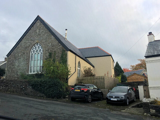
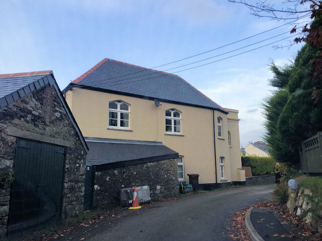
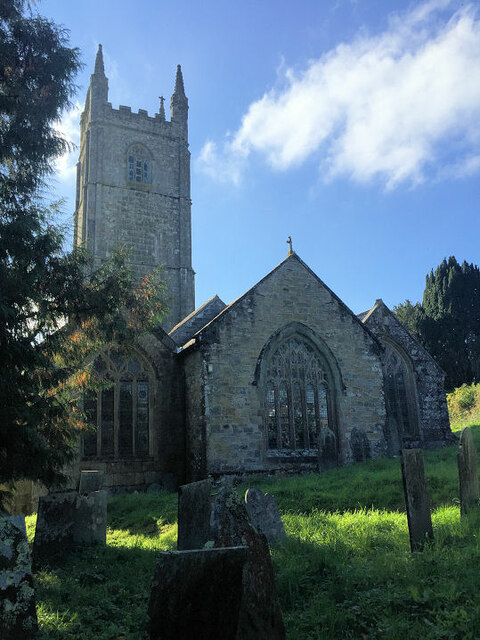
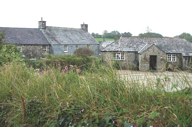
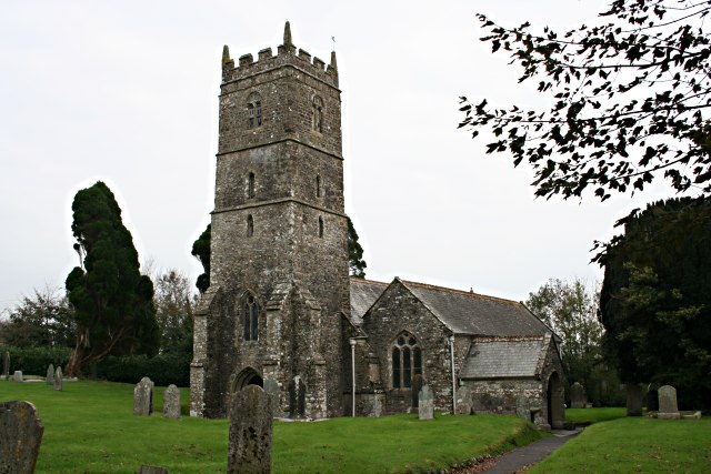
The architecture in Mornick is predominantly traditional, with charming stone cottages and buildings that give the village a timeless charm. The narrow streets are lined with colorful flower gardens, further adding to the village's picturesque appeal. Mornick is also home to a historic church, which is a notable landmark in the area.

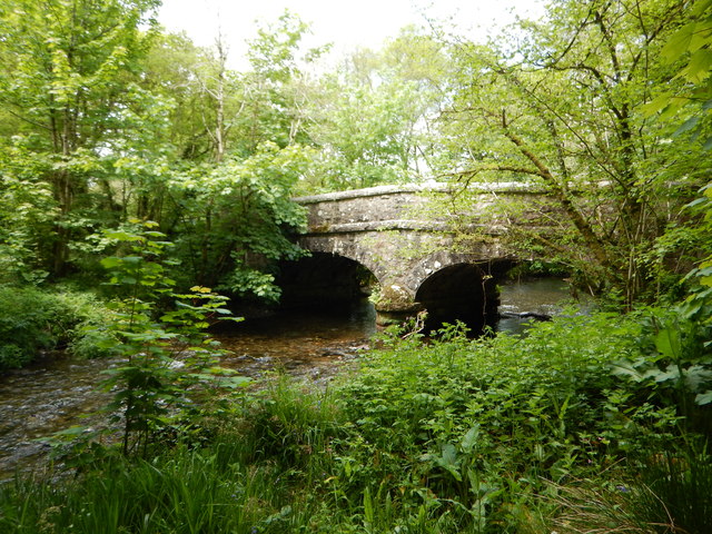
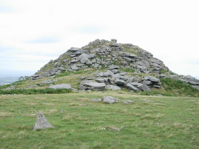
Nature enthusiasts will find plenty to explore in and around Mornick. The village is close to several stunning beaches, such as Mornick Bay and Trebarwith Strand, where visitors can enjoy sunbathing, swimming, or leisurely walks along the shore. The surrounding countryside offers opportunities for hiking and cycling, with paths leading to scenic viewpoints and ancient landmarks.

Although Mornick is a small village, it boasts a close-knit community that takes pride in its local businesses. Visitors can find a range of amenities in the village, including charming cafes, traditional pubs serving local cuisine, and quaint shops selling handmade crafts and souvenirs.

Overall, Mornick is a hidden gem in Cornwall, offering a peaceful escape from the hustle and bustle of city life. With its stunning natural beauty and welcoming community, it is a destination that appeals to both nature lovers and those seeking a slower pace of life.

If you have any feedback on the listing, please let us know in the comments section below.
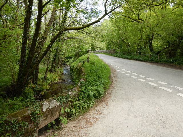
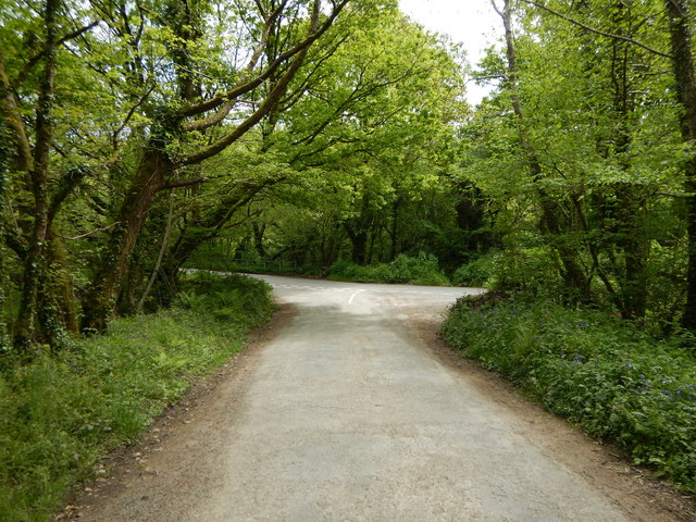
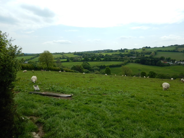
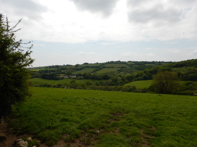
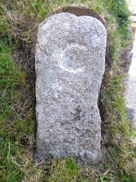
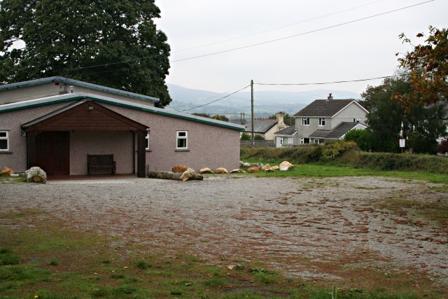
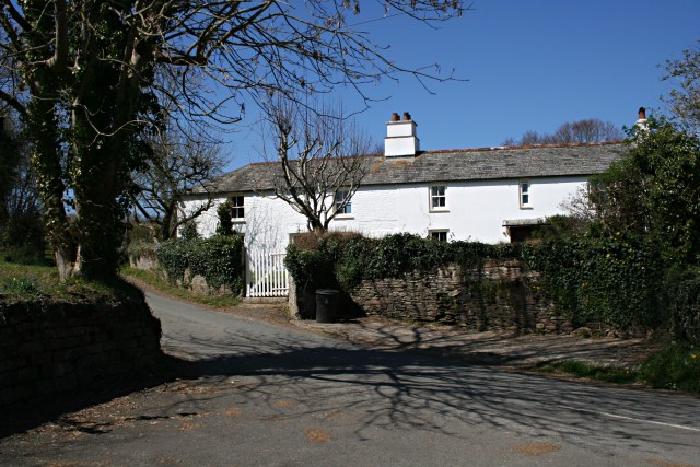
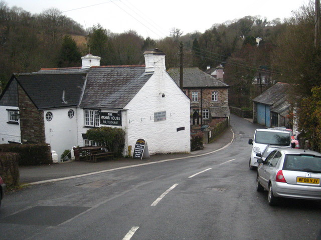
Mornick Images

Images are sourced within 2km of 50.527083/-4.37152 or Grid Reference SX3272. Thanks to Geograph Open Source API. All images are credited.

Batts Chapel A former Bethel Wesleyan Methodist Chapel.
Batts Chapel
A former Bethel Wesleyan Methodist Chapel.
Former chapel
Former chapel
St Mellor's Church
St Mellor's Church
St Mellor's Church
St Mellor's Church
Former Plymouth Brethren Meeting House
St Sampson's Church
St Sampson's Church
Kerney Bridge on the River Lynher
Junction at Kerney Bridge near Berrio Mill
Rural Road Junction near Berrio Mill
Fields near Longridge Farming in Cornwall
Fields near Longridge
Farming in Cornwall
Fields near Longridge
View across the River Lynher to Caradon Hill TV Mast
Old Milestone north of Manaton Mill Carved stone post by the UC road, in parish of SOUTH HILL (CARADON District), 100m North of Manaton Mill; East side of bridge, by gateway, set into bank, on North side of road. Callington C tombstone, erected by the Callington turnpike trust in the 18th century. 

Inscription reads:-
C
Mls Fur
 2   6

Grade II Listed. List Entry Number: 1312245
<span class="nowrap"><a title="https://historicengland.org.uk/listing/the-list/list-entry/1312245" rel="nofollow ugc noopener" href="https://historicengland.org.uk/listing/the-list/list-entry/1312245">Link</a><img style="margin-left:2px;" alt="External link" title="External link - shift click to open in new window" src="https://s1.geograph.org.uk/img/external.png" width="10" height="10"/></span>

Milestone Society National ID: CW_CLLI02.
Old Milestone north of Manaton Mill
Carved stone post by the UC road, in parish of SOUTH HILL (CARADON District), 100m North of Manaton Mill; East side of bridge, by gateway, set into bank, on North side of road. Callington C tombstone, erected by the Callington turnpike trust in the 18th century. Inscription reads:- C Mls Fur 2 6 Grade II Listed. List Entry Number: 1312245 LinkExternal link Milestone Society National ID: CW_CLLI02.
Old Milestone north of Manaton Mill Carved stone post by the UC road, in parish of SOUTH HILL (CARADON District), 100m North of Manaton Mill; East side of bridge, by gateway, set into bank, on North side of road. Callington 'C' tombstone, erected by the Callington turnpike trust in the 18th century. 

Inscription reads:-
C
Mls. Fur
2 6. 

Grade II listed. 
List Entry Number: 1312245 <span class="nowrap"><a title="https://historicengland.org.uk/listing/the-list/list-entry/1312245" rel="nofollow ugc noopener" href="https://historicengland.org.uk/listing/the-list/list-entry/1312245">Link</a><img style="margin-left:2px;" alt="External link" title="External link - shift click to open in new window" src="https://s1.geograph.org.uk/img/external.png" width="10" height="10"/></span>

Milestone Society National ID: CW_CLLI02.
Old Milestone north of Manaton Mill
Carved stone post by the UC road, in parish of SOUTH HILL (CARADON District), 100m North of Manaton Mill; East side of bridge, by gateway, set into bank, on North side of road. Callington 'C' tombstone, erected by the Callington turnpike trust in the 18th century. Inscription reads:- C Mls. Fur 2 6. Grade II listed. List Entry Number: 1312245 LinkExternal link Milestone Society National ID: CW_CLLI02.
Old Boundary Marker County Bridge Marker on the south side of the unclassified road 100 metres west of Plusha Bridge, River Lynher. Linkinhorne parish. Inscribed C. The stone marks the extent of roadway adjoining the bridge that the County was obliged to maintain.

Milestone Society National ID: CW_LINKIN03br
Old Boundary Marker
County Bridge Marker on the south side of the unclassified road 100 metres west of Plusha Bridge, River Lynher. Linkinhorne parish. Inscribed C. The stone marks the extent of roadway adjoining the bridge that the County was obliged to maintain. Milestone Society National ID: CW_LINKIN03br
River Lynher From Kerney Bridge. The river runs through a steep sided valley east of Golberdon.
River Lynher
From Kerney Bridge. The river runs through a steep sided valley east of Golberdon.
Kerney Bridge Carrying the road from Golberdon to Pensilva over the <a href="https://www.geograph.org.uk/photo/195940">SX3170 : River Lynher</a>.
Kerney Bridge
Carrying the road from Golberdon to Pensilva over the SX3170 : River Lynher.
Golberdon Village Golberdon is a tiny village in the parish of South Hill.  The building hiding behind the conifer on the right looks very much like it was originally a Methodist Chapel but is now a private residence.
Golberdon Village
Golberdon is a tiny village in the parish of South Hill. The building hiding behind the conifer on the right looks very much like it was originally a Methodist Chapel but is now a private residence.
Show me another place!

Mornick is located at Grid Ref: SX3272 (Lat: 50.527083, Lng: -4.37152)

Unitary Authority: Cornwall

Police Authority: Devon and Cornwall

What 3 Words

///handsets.tailwind.voter. Near South Hill, Cornwall

Related Wikis

Mornick

Mornick is a hamlet in the parish of South Hill, Cornwall, England. == References ==

South Hill, Cornwall

South Hill (Cornish: Bre Dheghow) is a civil parish and hamlet in east Cornwall, England, United Kingdom. The parish population at the 2011 census was...

Linkinhorne

Linkinhorne (in Cornish Lanngynhorn) is a civil parish and village in southeast Cornwall, England, United Kingdom. The village itself is situated at grid...

Golberdon

Golberdon is a village in Cornwall, England situated 6 miles (9.7 km) north-east of Liskeard. Golberdon is in the civil parish of South Hill (where the...

Plushabridge

Plushabridge is a hamlet in the parish of Linkinhorne in east Cornwall, England. == References ==

Bray Shop

Bray Shop (Cornish: Shoppa Bre) is a village in east Cornwall, England, United Kingdom, in the civil parish of Linkinhorne, Stoke Climsland and South Hill...

Rillaton

Rillaton (Cornish: Reslegh) is a hamlet in the parish of Linkinhorne in Cornwall, England. Nearby is the Bronze Age round barrow where the Rillaton Gold...

Rilla Mill

Rilla Mill (Cornish: Melin Reslegh) is a village in Cornwall, England. It is about one and half miles west of Linkinhorne. == References ==

Nearby Amenities

Located within 500m of 50.527083,-4.37152
Mornick
Place: hamlet
Source: OS_OpenData_StreetView
Wikidata: Q6912757
Lat/Long: 50.526307/-4.3720908
Give Way
Lat/Long: 50.5227152/-4.3726632
The data included in this document is from www.openstreetmap.org. The data is made available under ODbL.

Have you been to Mornick?

Leave your review of Mornick below (or comments, questions and feedback).