The Wilderness
Wood, Forest in Derbyshire Erewash
England
The Wilderness
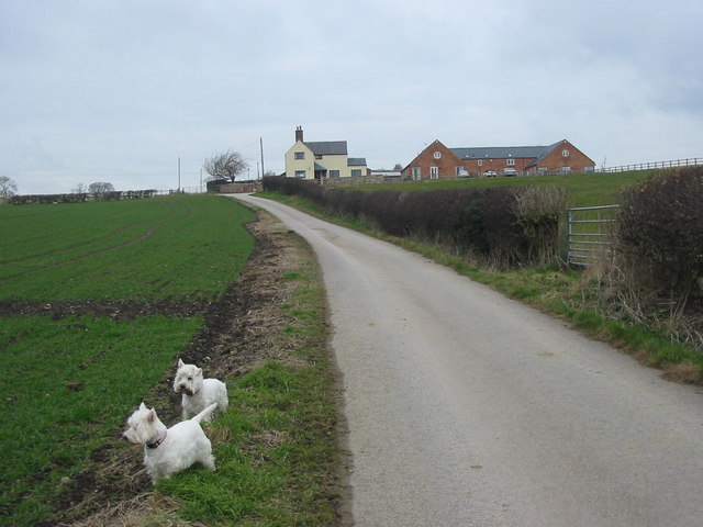
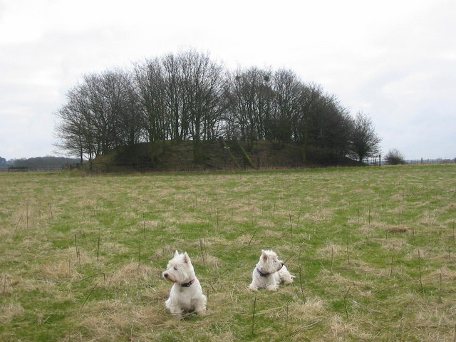
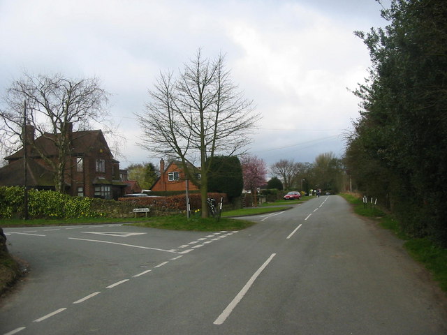
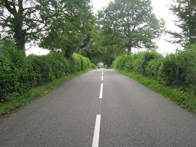
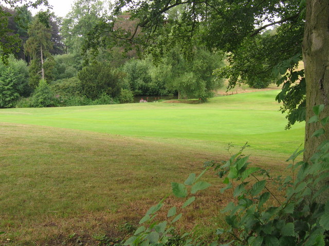
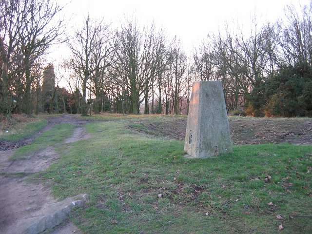
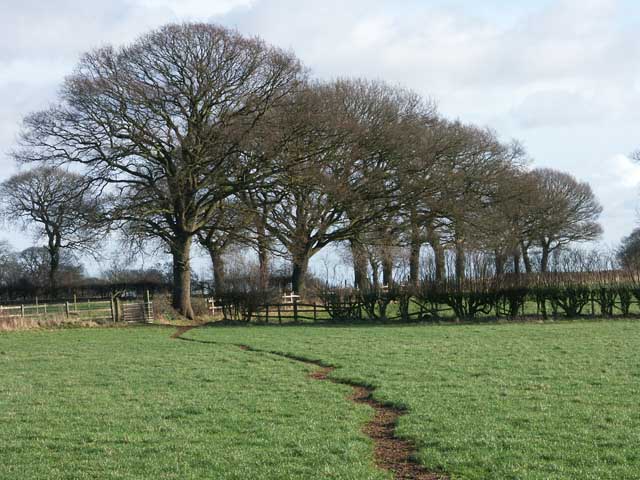
The Wilderness, located in Derbyshire, is a vast woodland area renowned for its natural beauty and rich biodiversity. Spanning over a large expanse of land, it is often referred to as a forest due to its dense concentration of trees. The Wilderness is nestled within the heart of the Peak District National Park, making it a popular destination for nature enthusiasts and hikers alike.
The woodland is predominantly composed of native species such as oak, birch, and beech trees, forming a picturesque and serene landscape. Various types of ferns and wildflowers also thrive in this environment, adding to the vibrant and diverse ecosystem. The forest floor is covered in a thick carpet of moss and fallen leaves, providing a habitat for numerous small mammals, insects, and fungi.
The Wilderness is home to a wide range of wildlife, including deer, foxes, badgers, and a multitude of bird species. Birdwatchers can often spot robins, blue tits, and woodpeckers among the branches. The forest also hosts a number of rare and protected species, contributing to its conservation value.
Visitors to The Wilderness can explore the area through a network of well-maintained trails, allowing for leisurely walks or more challenging hikes. The woodland offers a peaceful and tranquil atmosphere, providing a much-needed escape from the hustle and bustle of everyday life.
In summary, The Wilderness in Derbyshire is a stunning woodland area with a diverse range of flora and fauna. Its scenic beauty and peaceful ambiance make it a popular destination for those seeking a connection with nature.
If you have any feedback on the listing, please let us know in the comments section below.
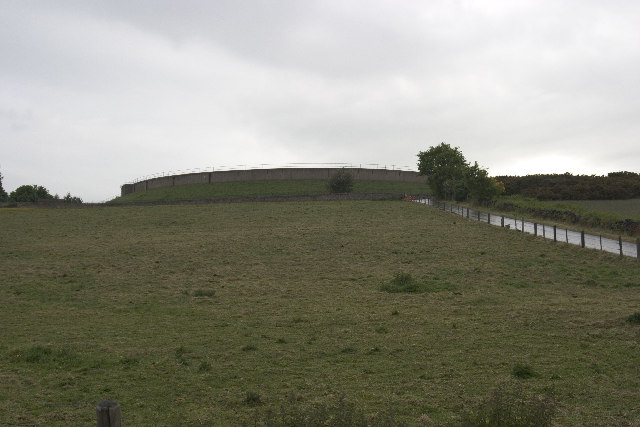
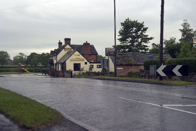
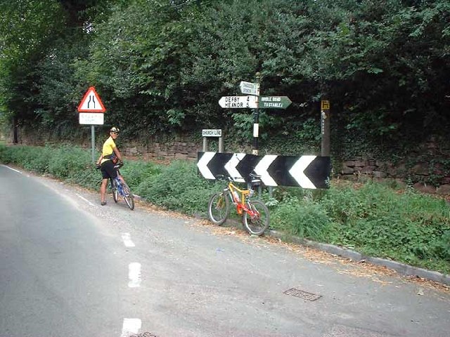
The Wilderness Images
Images are sourced within 2km of 52.965545/-1.4337451 or Grid Reference SK3841. Thanks to Geograph Open Source API. All images are credited.

The Wilderness is located at Grid Ref: SK3841 (Lat: 52.965545, Lng: -1.4337451)
Administrative County: Derbyshire
District: Erewash
Police Authority: Derbyshire
What 3 Words
///ending.orders.news. Near Little Eaton, Derbyshire
Nearby Locations
Related Wikis

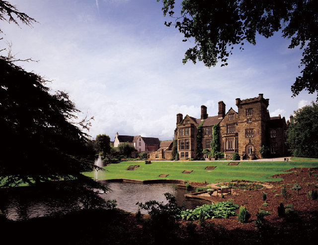
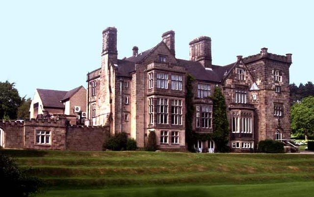
Breadsall Priory
Breadsall Priory is a former Augustinian priory in Derbyshire, situated around two kilometres north of Breadsall, and two kilometres east of Little Eaton...

Morley, Derbyshire
Morley is a village and civil parish within the Borough of Erewash in Derbyshire, England. It is on the eastern side of Morley Moor, with Morley Smithy...

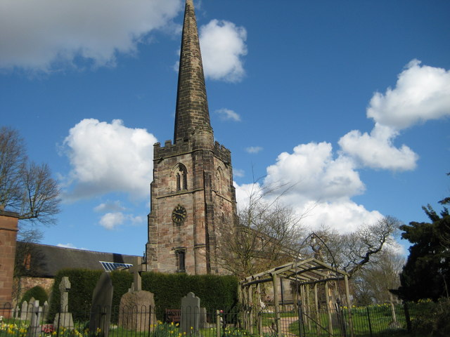
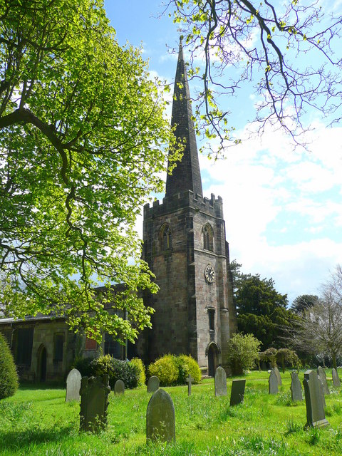
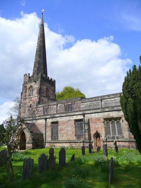
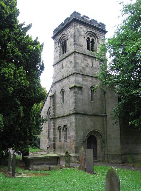
All Saints' Church, Breadsall
All Saints' Church, Breadsall is a Grade I listed parish church in the Church of England in Breadsall, Derbyshire. == History == The church dates from...

Breadsall
Breadsall is a village and civil parish in the Borough of Erewash in Derbyshire, England. The population of the village at the 2021 census was 792 Breadsall...

Brackley Gate
Brackley Gate is a hamlet in the Erewash district, in Derbyshire, England. It forms part of the civil parish of Morley. It is located northeast of Derby...
Little Eaton
Little Eaton is a village and civil parish in the borough of Erewash, Derbyshire, England. The population as taken at the 2011 Census was 2,430. The name...

Little Eaton railway station
Little Eaton railway station was a railway station which served the village of Little Eaton in Derbyshire, England. It was opened in 1856 by the Midland...
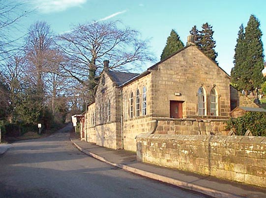
St Paul's Church, Little Eaton
St Paul's Church, Little Eaton is a Grade II listed parish church in the Church of England in Little Eaton, Derbyshire. == History == Construction of the...
Nearby Amenities
Located within 500m of 52.965545,-1.4337451Have you been to The Wilderness?
Leave your review of The Wilderness below (or comments, questions and feedback).