Morley St Botolph

Settlement in Norfolk South Norfolk

England

Morley St Botolph

Deopham: Oil seed rape crop
Deopham: Oil seed rape crop Credit: Michael Garlick

The requested URL returned error: 429 Too Many Requests

If you have any feedback on the listing, please let us know in the comments section below.

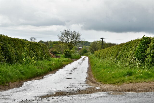
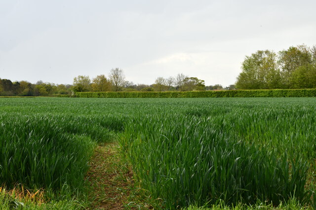
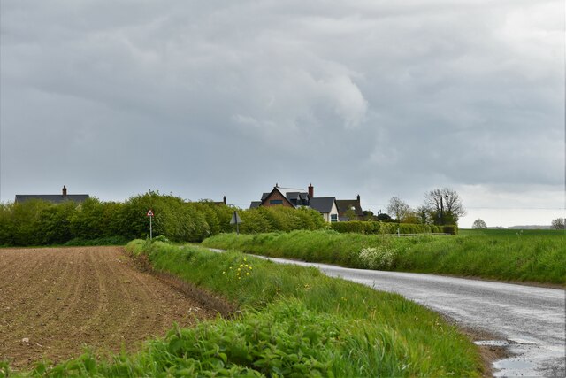
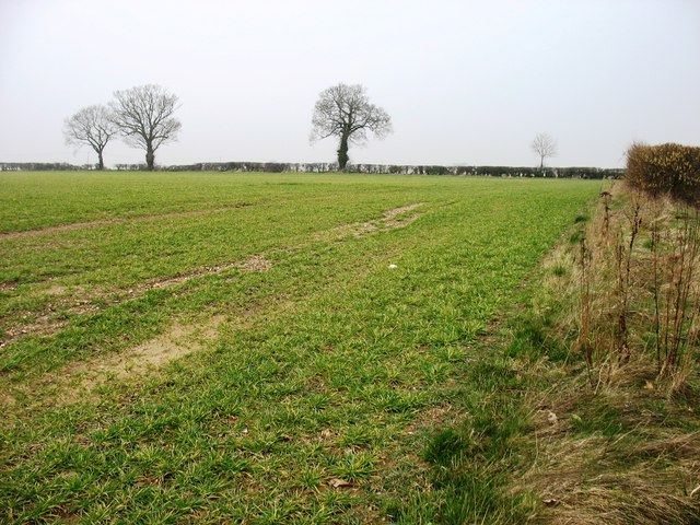
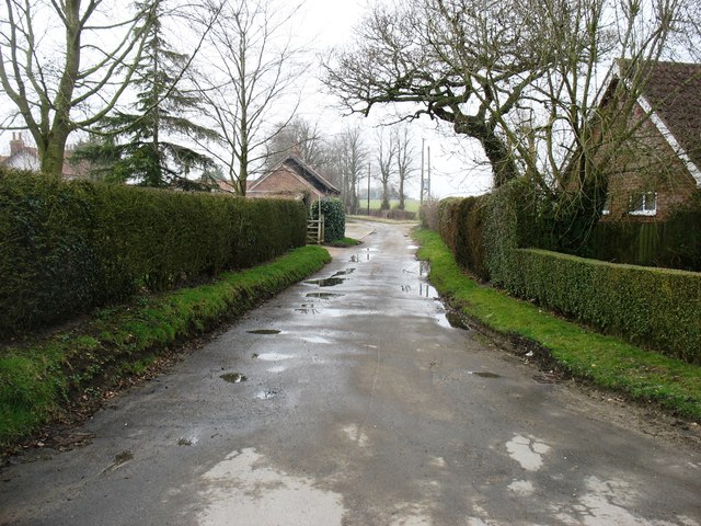
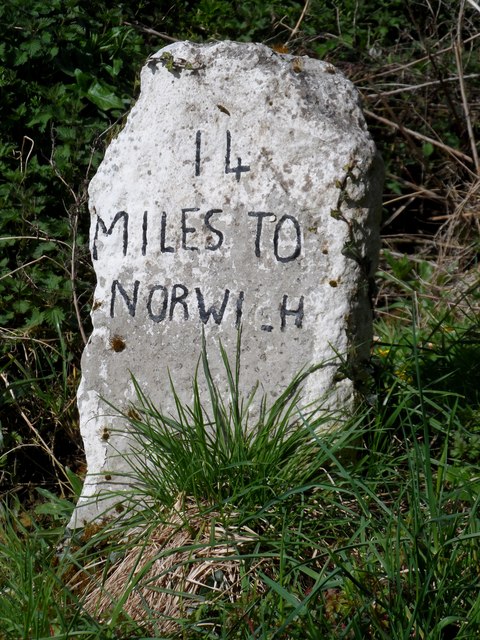
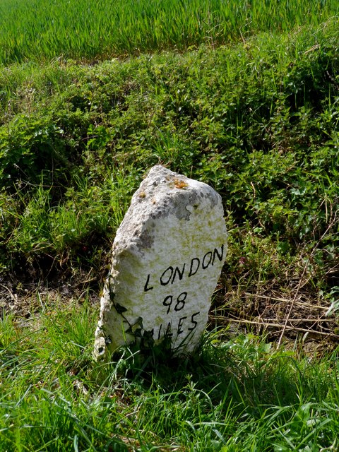
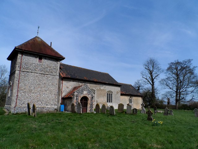
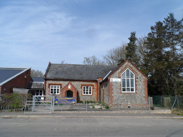
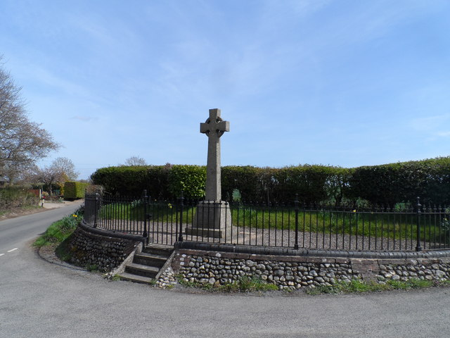
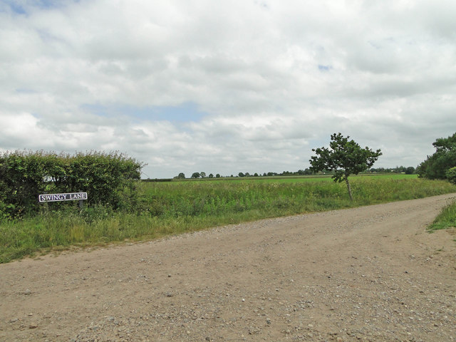
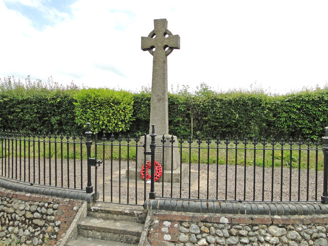
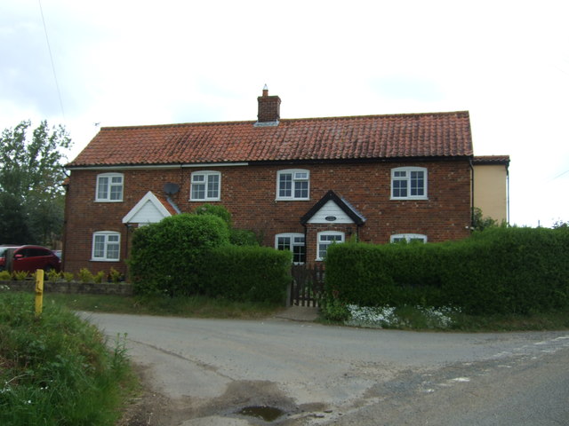
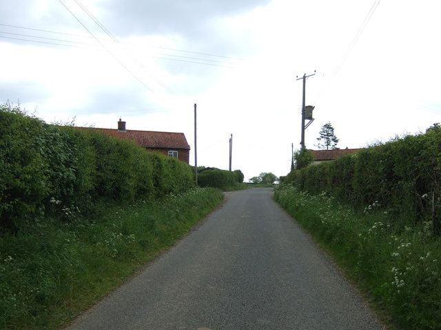
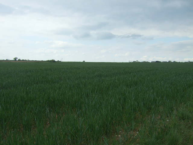
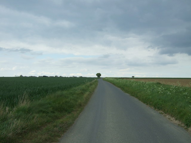
Morley St Botolph Images

Images are sourced within 2km of 52.556398/1.0581288 or Grid Reference TM0799. Thanks to Geograph Open Source API. All images are credited.

Deopham: Oil seed rape crop
Morley: New Road
Morley: New Road
Morley: Cereal crop
Morley: Cereal crop
Morley: Morleyfield Lane Crossroad
Farmland near Wymondham College
A track in Morley St Botolph
Milestone close to St Peter's Morley The other side says "London 98 miles" see <a title="https://www.geograph.org.uk/photo/4437321" href="https://www.geograph.org.uk/photo/4437321">Link</a> for picture. This seems a very minor road to have milestone markers. It may have been moved from another location.
Milestone close to St Peter's Morley
The other side says "London 98 miles" see Link for picture. This seems a very minor road to have milestone markers. It may have been moved from another location.
Milestone close to St Peter's Morley (N side) The other side says "14 Miles to Norwich" see <a title="https://www.geograph.org.uk/photo/4437316" href="https://www.geograph.org.uk/photo/4437316">Link</a> for picture. This seems a very minor road to have milestone markers. It may have been moved from another location.
Milestone close to St Peter's Morley (N side)
The other side says "14 Miles to Norwich" see Link for picture. This seems a very minor road to have milestone markers. It may have been moved from another location.
Morley St Peter The earliest parts of the church are C15. the chancel is Victorian as are all of the roofs.
Morley St Peter
The earliest parts of the church are C15. the chancel is Victorian as are all of the roofs.
Morley primary school Note the banner (blue) (on the fencing)  with positive quotes from the last OFSTED inspection. Who ever is making these things must be doing very good business.
Morley primary school
Note the banner (blue) (on the fencing) with positive quotes from the last OFSTED inspection. Who ever is making these things must be doing very good business.
War memorial, Morley
Swingy Lane from Millhill Lane, Deopham
Morley War Memorial Nine men were lost in WW1 and a further eight in WW2.
Morley War Memorial
Nine men were lost in WW1 and a further eight in WW2.
Flowering japanese cherry overhanging the path ... in Morley St. Botolph's churchyard.
Flowering japanese cherry overhanging the path
... in Morley St. Botolph's churchyard.
Cottages on Swingy Lane, Morley St. Botolph
Stone Brigg, Morley St. Botolph Looking north east.
Stone Brigg, Morley St. Botolph
Looking north east.
Crop field, Morley St. Botolph Off Buck's Lane.
Crop field, Morley St. Botolph
Off Buck's Lane.
Buck's Lane, Morley St. Botolph Looking north.
Buck's Lane, Morley St. Botolph
Looking north.
Show me another place!

Morley St Botolph is located at Grid Ref: TM0799 (Lat: 52.556398, Lng: 1.0581288)

Administrative County: Norfolk

District: South Norfolk

Police Authority: Norfolk

What 3 Words

///aquatics.affirming.monday. Near Attleborough, Norfolk

Nearby Locations

Morley St Botolph

Related Wikis

Morley Saint Botolph

Morley Saint Botolph is a village and former civil parish, now in the parish of Morley, in the South Norfolk district, in the county of Norfolk, England...

Morley, Norfolk

Morley is a civil parish in the South Norfolk district, in the county of Norfolk, England. It includes the villages of Morley St Botolph and Morley St...

Wymondham College

Wymondham College is a coeducational day and boarding school in Morley, near Wymondham, Norfolk, England with academy status. A former grammar school,...

Morley Old Hall

Morley Old Hall is a Grade I-listed moated manor house built in the sixteenth century in the village of Morley Saint Peter, some twelve miles from the...

Nearby Amenities

Located within 500m of 52.556398,1.0581288
Morley St Botolph
Alt Name: Morley Saint Botolph
Place: village
Website: https://morley-parish-council.norfolkparishes.gov.uk/
Wikidata: Q6912556
Wikipedia: en:Morley Saint Botolph
Lat/Long: 52.5556087/1.0575644
Post Box
Collection Times: Mo-Fr 16:00; Sa 09:00
Post Box Mounting: pier
Post Box Type: lamp
Ref: NR18 1853
Royal Cypher: EIIR
Royal Cypher Wikidata: Q33102113
Lat/Long: 52.5567593/1.0549266
Recycling
Recycling Clothes: yes
Recycling Glass: yes
Recycling Type: container
Lat/Long: 52.5565799/1.0582137
Booth: K6
Removed Amenity: telephone
Lat/Long: 52.5569686/1.0537113
Location Transition: yes
Power: pole
Transformer: distribution
Lat/Long: 52.5577511/1.0529333
Power: pole
Lat/Long: 52.5583903/1.0516566
Give Way
Lat/Long: 52.5565028/1.0578284
Give Way
Lat/Long: 52.5564025/1.0582012
The data included in this document is from www.openstreetmap.org. The data is made available under ODbL.

Have you been to Morley St Botolph?

Leave your review of Morley St Botolph below (or comments, questions and feedback).