Achnahard
Settlement in Argyllshire
Scotland
Achnahard
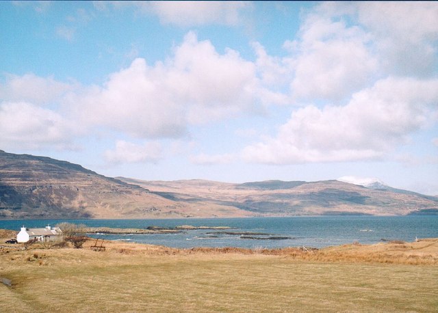
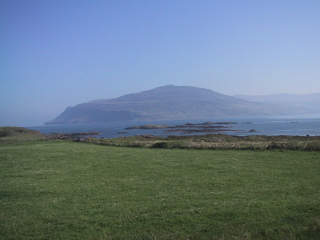
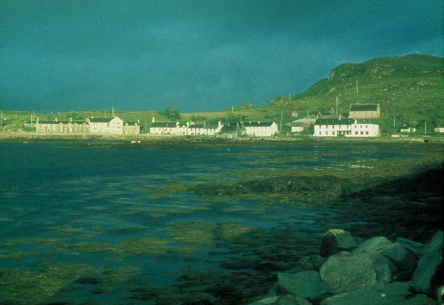
Achnahard is a small village located in the county of Argyllshire, Scotland. Nestled amidst the picturesque scenery of the Scottish Highlands, Achnahard offers a tranquil and idyllic setting for its residents and visitors alike.
The village is situated on the banks of Loch Awe, one of Scotland's largest freshwater lakes, and is surrounded by rolling hills and lush green landscapes. Its remote location provides a sense of seclusion, making it an ideal destination for those seeking a peaceful retreat.
Achnahard is known for its rich history and heritage. The area is home to ancient ruins and historical landmarks, such as the remains of Kilchurn Castle, a magnificent 15th-century structure that stands proudly on a rocky peninsula nearby. The castle offers stunning views of Loch Awe and is a popular attraction for tourists.
Despite its small size, Achnahard boasts a close-knit community that takes pride in its local traditions and culture. The village hosts various events throughout the year, including Highland games, ceilidhs, and traditional music festivals, providing an opportunity for residents and visitors to immerse themselves in the vibrant local culture.
Outdoor enthusiasts are drawn to Achnahard due to its proximity to the stunning Scottish countryside. The area offers ample opportunities for hiking, fishing, and wildlife spotting, with the nearby Loch Awe being renowned for its abundance of trout and salmon.
Overall, Achnahard is a hidden gem in Argyllshire, offering a blend of natural beauty, historical significance, and a warm community spirit.
If you have any feedback on the listing, please let us know in the comments section below.
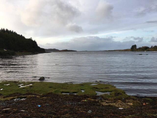
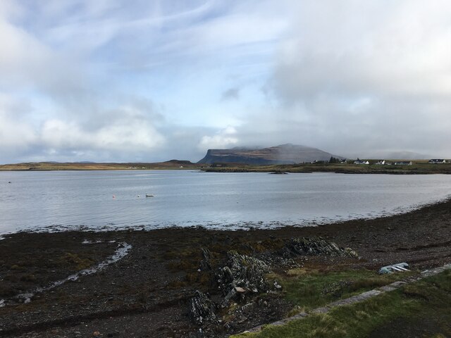
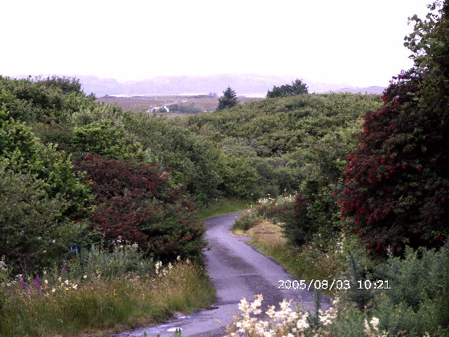
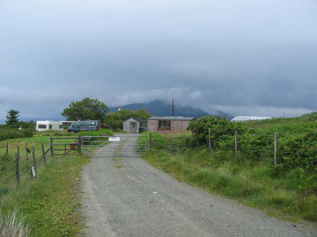
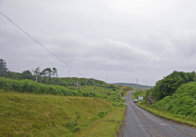
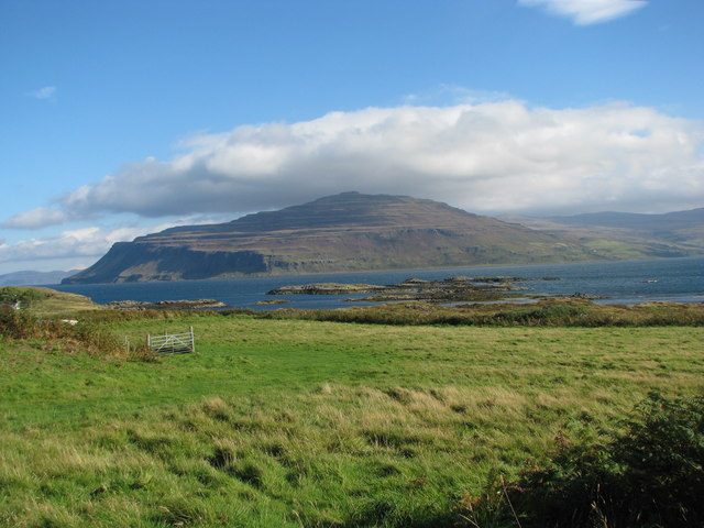
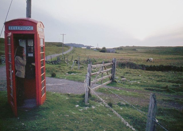
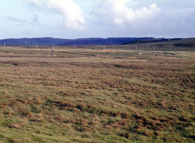
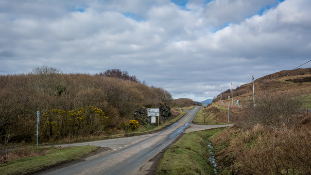
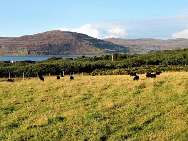
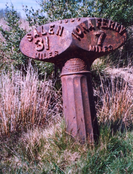
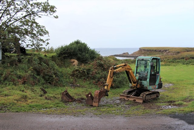
Achnahard Images
Images are sourced within 2km of 56.327244/-6.2235266 or Grid Reference NM3923. Thanks to Geograph Open Source API. All images are credited.
Achnahard is located at Grid Ref: NM3923 (Lat: 56.327244, Lng: -6.2235266)
Unitary Authority: Argyll and Bute
Police Authority: Argyll and West Dunbartonshire
What 3 Words
///consoled.detriment.clays. Near Fionnphort, Argyll & Bute
Nearby Locations
Related Wikis

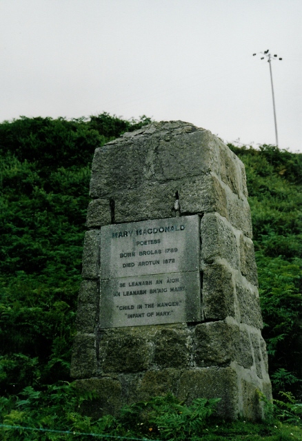
Ardtun
Ardtun (Scottish Gaelic: Àird Tunna) is a settlement on the Isle of Mull, in Argyll and Bute, Scotland. Ardtun is within the parish of Kilfinichen and...

Bunessan
Bunessan (Scottish Gaelic: Bun Easain) is a small village on the Ross of Mull in the south-west of the Isle of Mull, off the west coast of Scotland. The...

Knockan
Knockan (Scottish Gaelic: An Cnocan) is a township of six crofts in the community of Ardtun, in the south of the Isle of Mull off the west coast of Scotland...

Suidhe
Suidhe (Scottish Gaelic: Suidhe) is a ruined township located on the southwestern peninsula of the Isle of Mull, Scotland. It lies just over 1 km to the...

Knocknafenaig
Knocknafenaig (Scottish Gaelic: Cnoc na Fennaig) is a ruined township on the Isle of Mull, Scotland. Located in the south-western portion of the island...

Uisken
Uisken (Scottish Gaelic: Uisgean, meaning "water-bay") is a settlement on a sandy bay on the Ross of Mull in the south of the Isle of Mull, on the west...
Camas Tuath
Camas Tuath (Scottish Gaelic: north bay) is an inlet bay on the Ross of Mull. The bay has two small tidal islands and two Quarrymans' Cottages which the...

Ross of Mull
The Ross of Mull (Scottish Gaelic: An Ros Mhuileach) is the largest peninsula of the Isle of Mull, about 28 kilometres (17 mi) long, and makes up the south...
Nearby Amenities
Located within 500m of 56.327244,-6.2235266Have you been to Achnahard?
Leave your review of Achnahard below (or comments, questions and feedback).