Achnahannet
Settlement in Inverness-shire
Scotland
Achnahannet

Achnahannet is a small rural settlement located in Inverness-shire, a historic county in the Scottish Highlands. Situated approximately 8 miles south of the town of Inverness, Achnahannet offers a picturesque and tranquil setting amidst stunning natural landscapes.
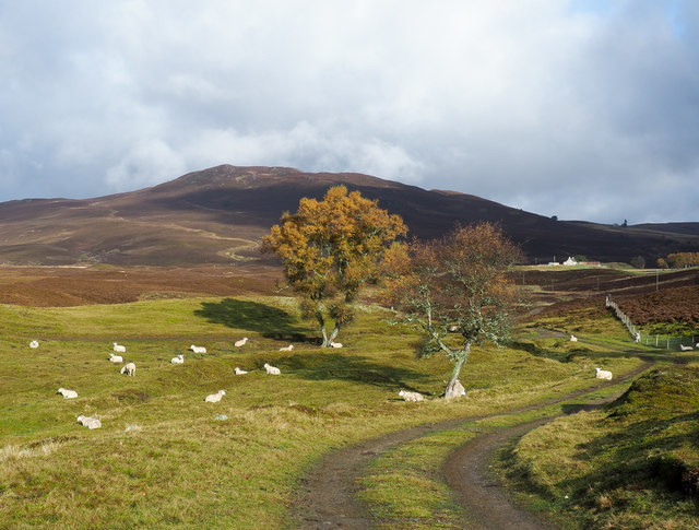
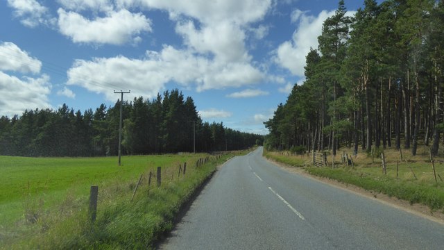
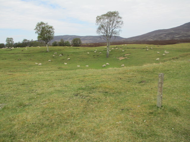
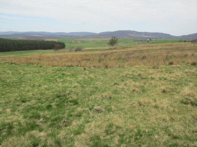
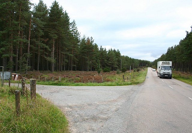
The village is surrounded by rolling hills, lush green fields, and dense forests, providing residents and visitors with ample opportunities for outdoor activities such as hiking, cycling, and nature photography. The nearby River Findhorn adds to the charm of the area, attracting fishing enthusiasts from far and wide.
Achnahannet is known for its close-knit community, where locals take pride in maintaining the traditional Highland way of life. The village consists of a small number of houses, most of which are traditional stone cottages that add to the rustic appeal of the area.
Despite its relatively small size, Achnahannet is well-connected to the wider region. The nearby town of Inverness offers a wide range of amenities, including shops, restaurants, and cultural attractions. Inverness is also a transportation hub, with regular train services connecting to major cities such as Glasgow and Edinburgh.
Overall, Achnahannet provides a peaceful and idyllic retreat for those seeking a break from the hustle and bustle of modern life. Its natural beauty, friendly community, and convenient location make it an attractive destination for both residents and tourists looking to explore the Scottish Highlands.
If you have any feedback on the listing, please let us know in the comments section below.
Achnahannet Images
Images are sourced within 2km of 57.321881/-3.7120257 or Grid Reference NH9727. Thanks to Geograph Open Source API. All images are credited.


Achnahannet is located at Grid Ref: NH9727 (Lat: 57.321881, Lng: -3.7120257)
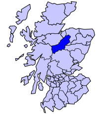
Unitary Authority: Highland
Police Authority: Highlands and Islands
What 3 Words
///most.extent.backpack. Near Grantown-on-Spey, Highland
Nearby Locations
Related Wikis

Achnahannet, Strathspey
Achnahannet (Scottish Gaelic: Achadh na h-Annaid) is a hamlet located northwest of Dulnain Bridge, and three and a half miles west-south-west of Grantown...
Badenoch and Strathspey
Badenoch and Strathspey is a former district of Highland region in Scotland. The district was created under the Local Government (Scotland) Act 1973 as...
Dulnain Bridge
Dulnain Bridge (Scottish Gaelic: Drochaid Thulnain) is a village in Strathspey, next to the meeting of the River Dulnain and the River Spey, three miles...

Skye of Curr
Skye of Curr (Scottish Gaelic: Sgiath Churr) is a hamlet, situated 3 miles (5 kilometres) southwest of Grantown-on-Spey, in the Highlands of Scotland and...
Have you been to Achnahannet?
Leave your review of Achnahannet below (or comments, questions and feedback).