Flintshire
Historic County in
Wales
Flintshire
Flintshire, a historic county located in the northeastern part of Wales, is bordered by the counties of Denbighshire, Wrexham, and the English counties of Cheshire and Shropshire. The county spans an area of approximately 438 square miles (1,134 square kilometers) and has a population of around 155,000 people.
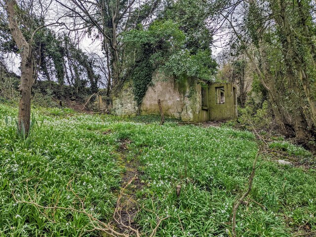
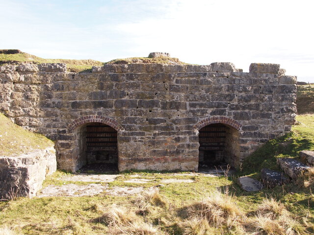
One of the most notable features of Flintshire is its rich history. The county was inhabited since prehistoric times, with evidence of human activity dating back to the Stone Age. During the Roman period, Flintshire was an important region due to its strategic location, and numerous Roman remains and fortifications can still be found today.
In medieval times, Flintshire played a significant role in the conflicts between the Welsh and the English. Many historic castles and fortresses were built during this time, including Flint Castle, which was the birthplace of King Edward II. These castles serve as a reminder of the county's turbulent past.
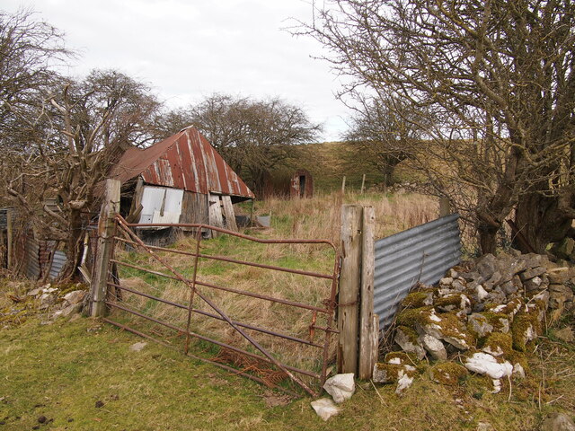
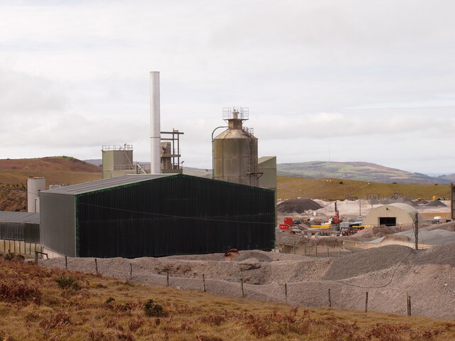
The economy of Flintshire is diverse, with a mix of industries. Agriculture, particularly dairy farming, has traditionally been an important sector. However, in recent years, manufacturing and technology have gained prominence, with companies specializing in aerospace, automotive, and advanced manufacturing establishing a presence in the county.
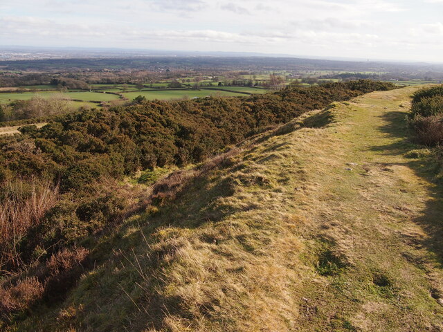
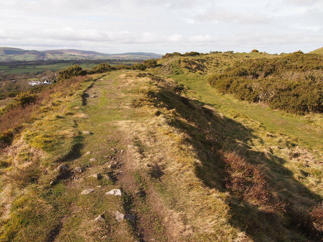
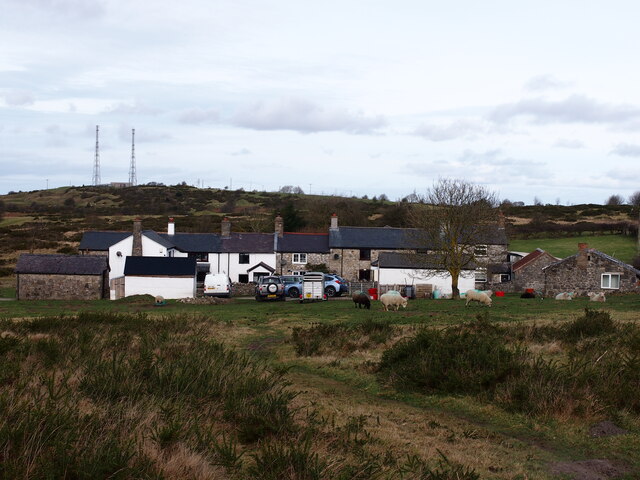
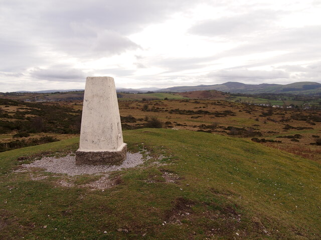
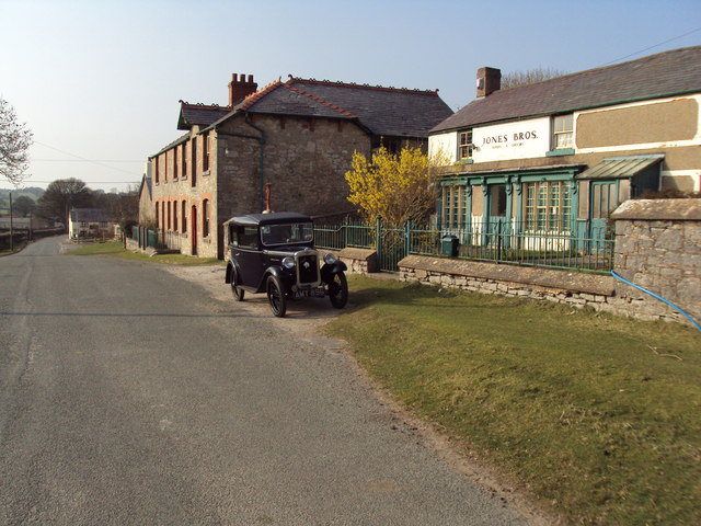
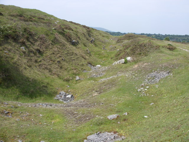
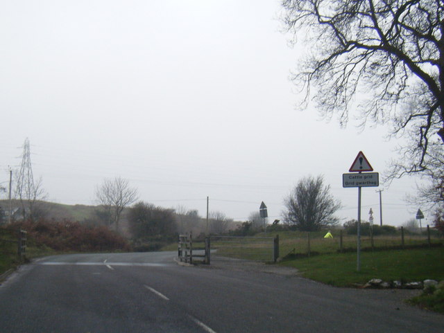
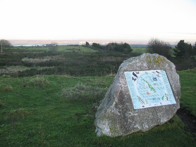
Flintshire's landscape is characterized by rolling hills, lush farmland, and picturesque villages. The Clwydian Range, an Area of Outstanding Natural Beauty, stretches across the county, offering stunning views and opportunities for outdoor activities like hiking and cycling.
Overall, Flintshire is a county that combines a rich historical heritage with a vibrant economy and natural beauty, attracting visitors and providing a high quality of life for its residents.
If you have any feedback on the listing, please let us know in the comments section below.
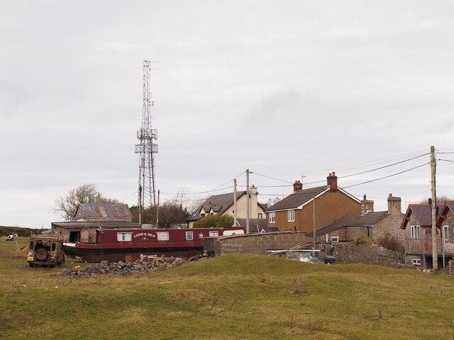
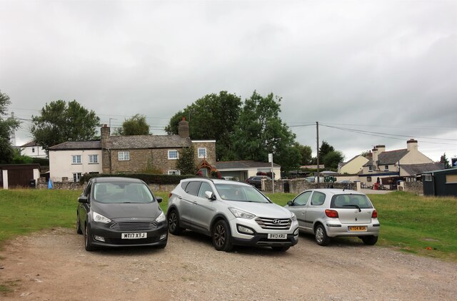
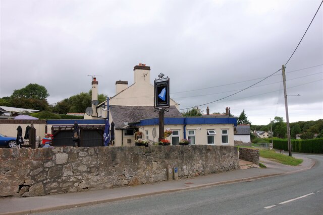
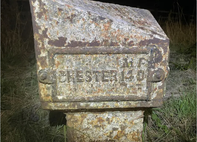
Flintshire Images
Images are sourced within 2km of 53.2272/-3.18867 or Grid Reference SJ2070. Thanks to Geograph Open Source API. All images are credited.

Flintshire is located at Grid Ref: SJ2070 (Lat: 53.2272, Lng: -3.18867)
Also known as: Sir y Fflint
What 3 Words
///charging.sideboard.grading. Near Halkyn, Flintshire
Nearby Locations
Related Wikis

Halkyn Castle
Halkyn Castle (Welsh: Castell Helygain) is a mansion house in the village of Halkyn, Flintshire, Wales. The house, with its associated stable block, is...

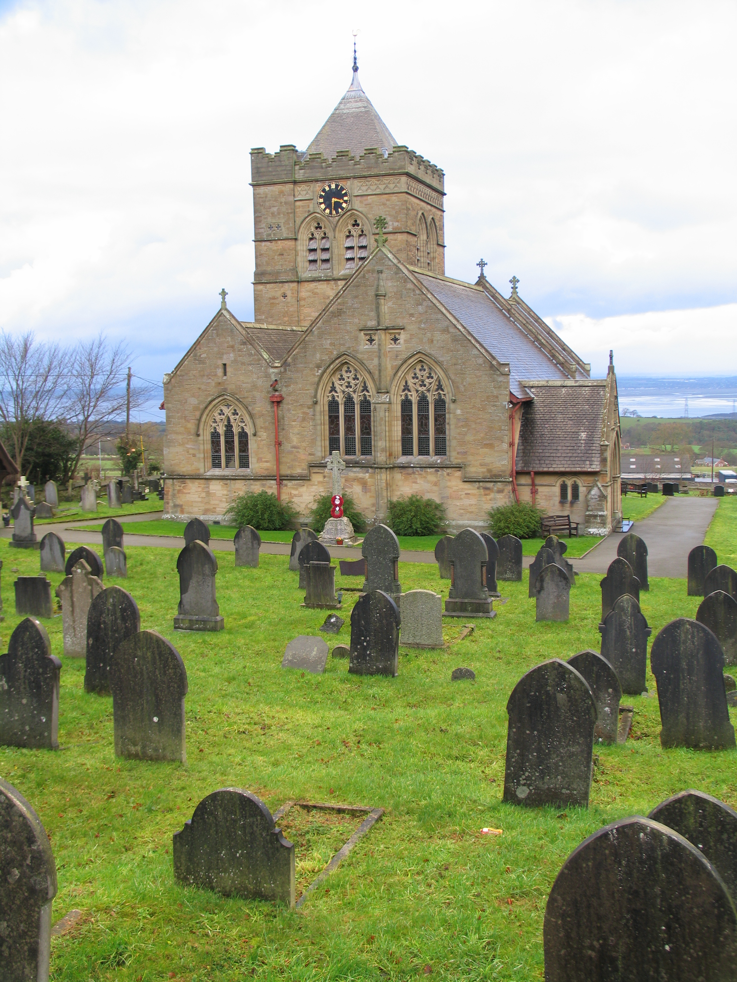
Church of St Mary the Virgin, Halkyn
The Church of St Mary the Virgin, Halkyn is to the north of the village of Halkyn, Flintshire, Wales. It is an active Anglican parish church in the diocese...
Halkyn
Halkyn (Welsh: Helygain [heˈləgain]; Flintshire Welsh: Lygian [ˈləgjan]) is a village and community in Flintshire, north-east Wales and situated between...

Milwr Tunnel
The Milwr Tunnel is a mine drainage adit running some 10 miles from the hamlet of Cadole near Loggerheads, Denbighshire to Bagillt on the Dee Estuary in...
Halkyn Common and Holywell Grasslands
Halkyn Common and Holywell Grasslands (Welsh: Comin Helygain a Glaswelltiroedd Treffynnon) is a Site of Special Scientific Interest in Flintshire, north...

Moel y Gaer, Rhosesmor
Moel y Gaer (Welsh for "bald hill of the fortress") is an Iron Age hillfort located on a summit at the southern end of Halkyn Mountain, overlooking the...

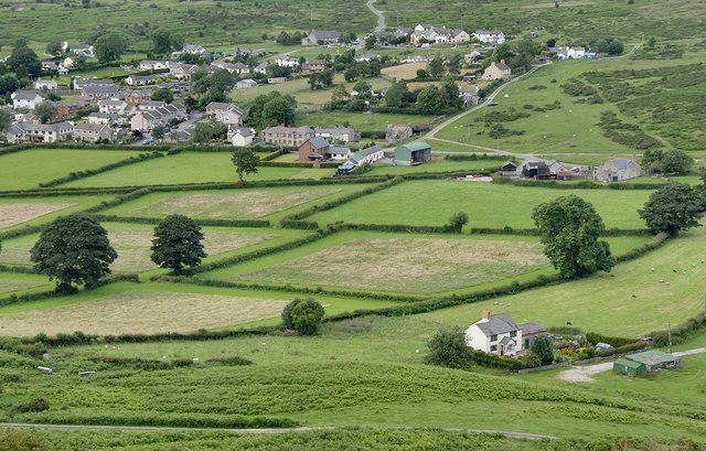
Pentre Halkyn
Pentre Halkyn (Welsh: Pentre Helygain) is a small village in Flintshire, Wales. It is situated approximately two miles from Holywell, and is off Junction...
Rhes-y-cae
Rhes-y-cae is a small parish and village in Flintshire, Wales. Literally translated from Welsh, Rhes-y-cae is 'Row of fields'. It is situated between...
Nearby Amenities
Located within 500m of 53.2272,-3.18867Have you been to Flintshire?
Leave your review of Flintshire below (or comments, questions and feedback).