Catch

Settlement in Flintshire

Wales

Catch

Neglected Enclosure, Below Halkyn Mountain
Neglected Enclosure, Below Halkyn Mountain Credit: Chris Andrews

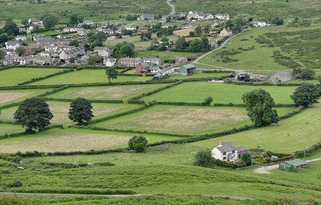
Catch is a small village situated in the county of Flintshire, in northeastern Wales. It is located approximately 3 miles southeast of Holywell and 12 miles west of Chester, England. The village is nestled in a picturesque rural setting surrounded by rolling hills and farmland.

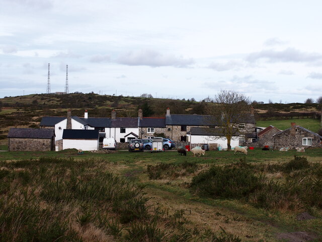
Catch has a rich history that dates back to medieval times. It was mentioned in the Domesday Book of 1086, which indicates its significance even during that era. The village is primarily residential, consisting of a small number of houses and farms. The architecture is a mix of traditional Welsh stone cottages and more modern dwellings.

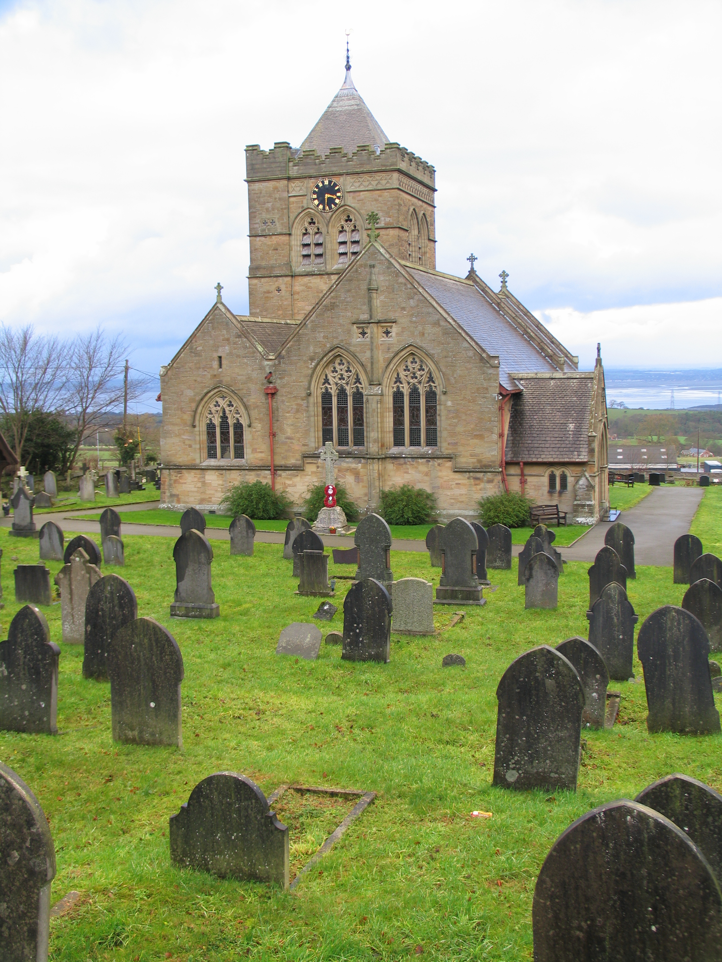
Despite its small size, Catch boasts a strong sense of community. The villagers are known for their warmth and hospitality, creating a friendly and welcoming atmosphere. The local church, dedicated to St. Deiniol, acts as a focal point for community activities and events.

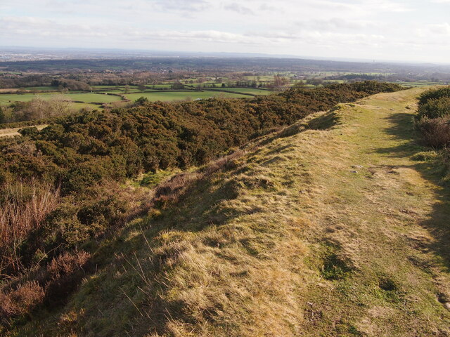
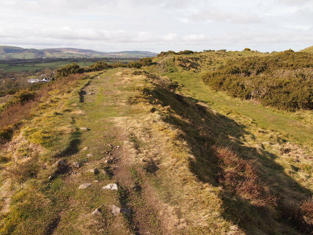
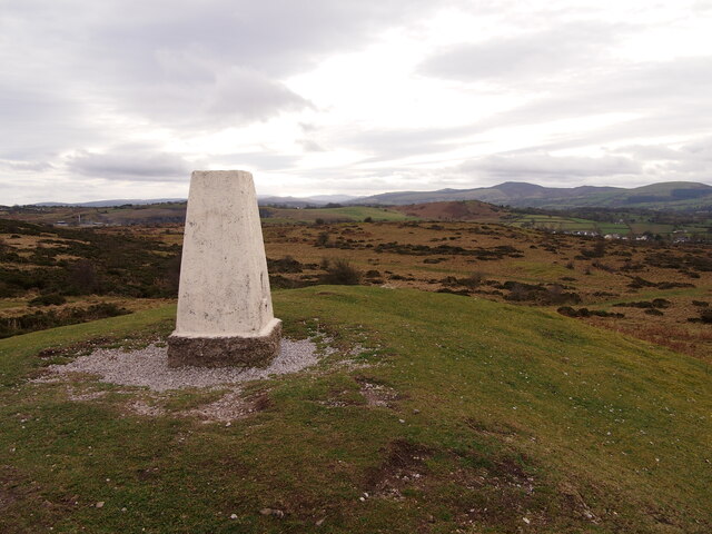
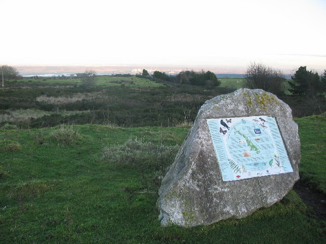
The surrounding countryside provides ample opportunities for outdoor enthusiasts. There are several scenic walking trails in the area, offering breathtaking views of the Welsh countryside. Additionally, the nearby River Dee is popular for fishing, attracting anglers from all over the region.

Catch is well-connected to other parts of Flintshire and beyond. It has good road links, with the A55 North Wales Expressway passing close by, providing easy access to Chester and other major towns and cities in the region.

In summary, Catch is a charming village with a rich history and a strong sense of community. Its peaceful location and proximity to natural beauty make it an appealing destination for those seeking a tranquil and picturesque setting.

If you have any feedback on the listing, please let us know in the comments section below.
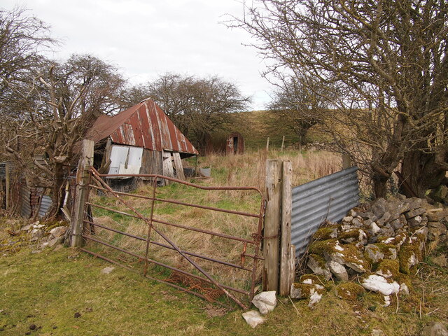
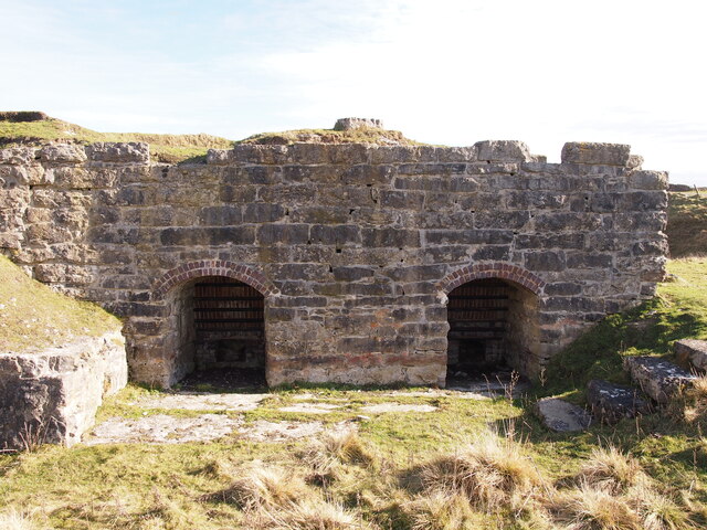
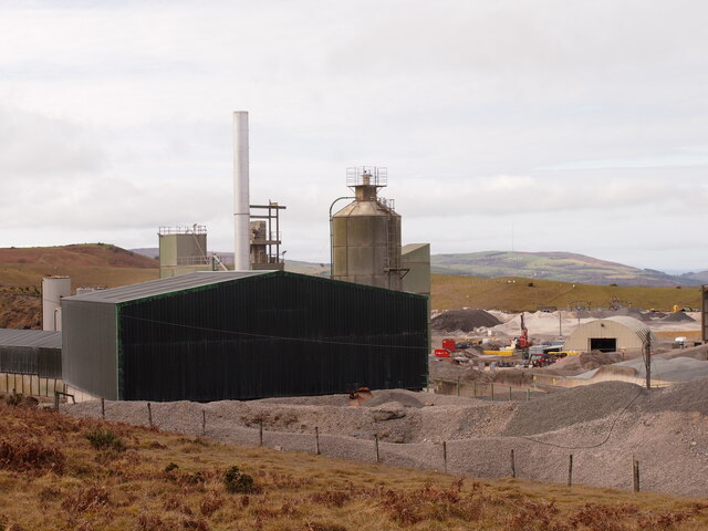
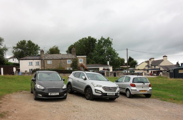
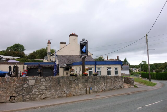
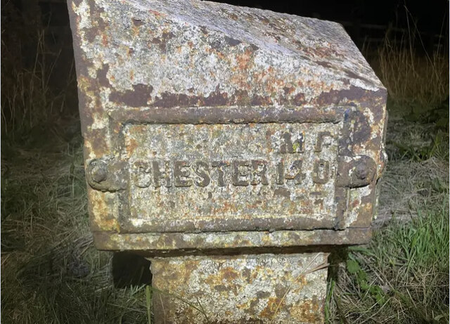
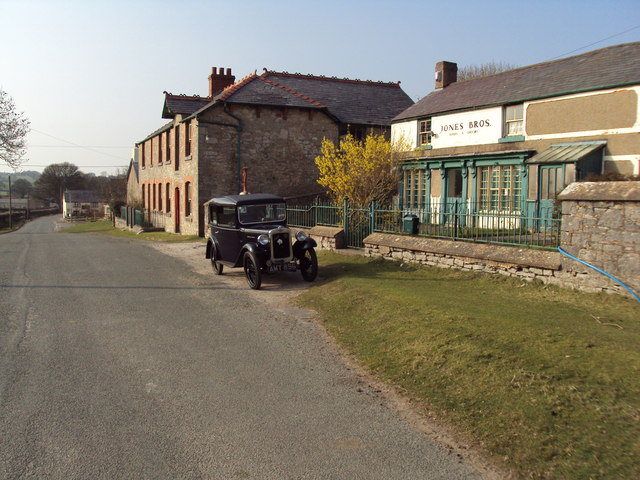
Catch Images

Images are sourced within 2km of 53.226474/-3.190837 or Grid Reference SJ2070. Thanks to Geograph Open Source API. All images are credited.

Neglected Enclosure, Below Halkyn Mountain
Rhes-y-Cae Lime Kilns
Pant Quarry, Halkyn
Pant Quarry, Halkyn
Ramparts and Ditch, Moel y Gaer, Rhosesmor Iron Age hillfort.
Ramparts and Ditch, Moel y Gaer, Rhosesmor
Iron Age hillfort.
Rampart, Moel y Gaer
Pant-y-Ffrith, Berth Ddu Developed from miners cottages.
Pant-y-Ffrith, Berth Ddu
Developed from miners cottages.
Trig Point, Halkyn Mountain
Windmill, Halkyn Mountain
Car Parking area, Halkyn An informal car parking area across the road from the Blue Bell Inn.
Car Parking area, Halkyn
An informal car parking area across the road from the Blue Bell Inn.
The Blue Bell Inn, Halkyn
Old Milepost by the A55, Halkyn Milepost by the A55, in parish of Halkyn (Flintshire District), Halkyn, on grass verge on Northeast side of the A55, below Pen Lan Lane overbridge to Plas Isaf.

Inscription reads:-
M F / CHESTER 14 0 :: COUNTY / OF / FLINT / 1892 :: M F / HOLYWELL 3 2

Grade II listed by Cadw.
Reference Number: 26212 <span class="nowrap"><a title="https://cadwpublic-api.azurewebsites.net/reports/listedbuilding/FullReport?lang=&id=26212" rel="nofollow ugc noopener" href="https://cadwpublic-api.azurewebsites.net/reports/listedbuilding/FullReport?lang=&id=26212">Link</a><img style="margin-left:2px;" alt="External link" title="External link - shift click to open in new window" src="https://s1.geograph.org.uk/img/external.png" width="10" height="10"/></span>

Surveyed

Milestone Society National ID: FLT_CHHO14
Old Milepost by the A55, Halkyn
Milepost by the A55, in parish of Halkyn (Flintshire District), Halkyn, on grass verge on Northeast side of the A55, below Pen Lan Lane overbridge to Plas Isaf. Inscription reads:- M F / CHESTER 14 0 :: COUNTY / OF / FLINT / 1892 :: M F / HOLYWELL 3 2 Grade II listed by Cadw. Reference Number: 26212 LinkExternal link Surveyed Milestone Society National ID: FLT_CHHO14
Rhes y Cae, Flintshire Looking down the main road in Rhes y Cae towards The Miners Arms.
Rhes y Cae, Flintshire
Looking down the main road in Rhes y Cae towards The Miners Arms.
Pant Quarry, Halkyn The last quarry visit in the Pant Quarry.  There is a nice view of the limestone strata in the background.
Pant Quarry, Halkyn
The last quarry visit in the Pant Quarry. There is a nice view of the limestone strata in the background.
Pant Quarry, Halkyn Down into the hole!  Taken during the last quarry visit planned at the Pant
Pant Quarry, Halkyn
Down into the hole! Taken during the last quarry visit planned at the Pant
19th century opencast lead workings These form a long and continuous trench where lead was extracted at surface
19th century opencast lead workings
These form a long and continuous trench where lead was extracted at surface
Open lead mine shaft on Halkyn Mountain This 19th century shaft is well fenced and made safe with a metal frame. It is alongside a long opencast working
Open lead mine shaft on Halkyn Mountain
This 19th century shaft is well fenced and made safe with a metal frame. It is alongside a long opencast working
Cattle Grid on road to Babell
Opencast lead workings on Long Rake These workings run parallel to the road here, close to Rhes-y-Cae and are said to be ancient, possibly Roman.
Opencast lead workings on Long Rake
These workings run parallel to the road here, close to Rhes-y-Cae and are said to be ancient, possibly Roman.
Show me another place!

Catch is located at Grid Ref: SJ2070 (Lat: 53.226474, Lng: -3.190837)

Unitary Authority: Flintshire

Police Authority: North Wales

What 3 Words

///input.trombone.snipe. Near Halkyn, Flintshire

Related Wikis

Halkyn Castle

Halkyn Castle (Welsh: Castell Helygain) is a mansion house in the village of Halkyn, Flintshire, Wales. The house, with its associated stable block, is...

Church of St Mary the Virgin, Halkyn

The Church of St Mary the Virgin, Halkyn is to the north of the village of Halkyn, Flintshire, Wales. It is an active Anglican parish church in the diocese...

Halkyn

Halkyn (Welsh: Helygain [heˈləgain]; Flintshire Welsh: Lygian [ˈləgjan]) is a village and community in Flintshire, north-east Wales and situated between...

Milwr Tunnel

The Milwr Tunnel is a mine drainage adit running some 10 miles from the hamlet of Cadole near Loggerheads, Denbighshire to Bagillt on the Dee Estuary in...

Halkyn Common and Holywell Grasslands

Halkyn Common and Holywell Grasslands (Welsh: Comin Helygain a Glaswelltiroedd Treffynnon) is a Site of Special Scientific Interest in Flintshire, north...

Moel y Gaer, Rhosesmor

Moel y Gaer (Welsh for "bald hill of the fortress") is an Iron Age hillfort located on a summit at the southern end of Halkyn Mountain, overlooking the...

Rhes-y-cae

Rhes-y-cae is a small parish and village in Flintshire, Wales. Literally translated from Welsh, Rhes-y-cae is 'Row of fields'. It is situated between...

Pentre Halkyn

Pentre Halkyn (Welsh: Pentre Helygain) is a small village in Flintshire, Wales. It is situated approximately two miles from Holywell, and is off Junction...

Nearby Amenities

Located within 500m of 53.226474,-3.190837
Man Made: tower
Tower Type: communication
Lat/Long: 53.2242589/-3.1912276
Man Made: tower
Tower Type: communication
Lat/Long: 53.2246164/-3.1907937
Halkyn
Place: village
Wikidata: Q5642527
Lat/Long: 53.2257332/-3.1865066
Man Made: mast
Lat/Long: 53.2246196/-3.1907776
Man Made: mast
Lat/Long: 53.2242628/-3.1912107
Catch
Place: hamlet
Lat/Long: 53.2263938/-3.1910095
Power: pole
Lat/Long: 53.2271282/-3.1889526
Power: pole
Lat/Long: 53.226807/-3.1898324
Power: pole
Lat/Long: 53.2265084/-3.1906371
Power: pole
Lat/Long: 53.2262579/-3.1907229
Power: pole
Lat/Long: 53.2260026/-3.1908275
Power: pole
Lat/Long: 53.2257665/-3.1908999
Power: pole
Lat/Long: 53.2245351/-3.1896765
Power: pole
Lat/Long: 53.2247582/-3.1907142
Power: pole
Lat/Long: 53.225005/-3.191532
Power: pole
Lat/Long: 53.224984/-3.1925148
Power: pole
Lat/Long: 53.2249939/-3.1934802
Power: pole
Lat/Long: 53.225003/-3.1955112
Power: pole
Lat/Long: 53.2258391/-3.1963341
Power: pole
Lat/Long: 53.2261259/-3.1967982
Power: pole
Lat/Long: 53.2263668/-3.1980201
Power: pole
Lat/Long: 53.2241362/-3.1886844
Power: pole
Lat/Long: 53.223838/-3.187422
Power: pole
Lat/Long: 53.2268897/-3.1978895
Power: pole
Lat/Long: 53.2275625/-3.1969186
Power: pole
Lat/Long: 53.2282352/-3.1959261
Power: pole
Lat/Long: 53.2288952/-3.1949203
Power: pole
Lat/Long: 53.2292275/-3.1944053
Power: pole
Lat/Long: 53.22946/-3.1942502
Power: pole
Lat/Long: 53.230189/-3.1944085
Power: pole
Lat/Long: 53.2291838/-3.194208
Power: pole
Lat/Long: 53.2291384/-3.1944551
Power: pole
Lat/Long: 53.2284297/-3.1944561
Power: pole
Lat/Long: 53.2276689/-3.1946082
Power: pole
Lat/Long: 53.2273396/-3.1945601
Power: pole
Lat/Long: 53.2272492/-3.1947512
Power: pole
Lat/Long: 53.2268414/-3.1951897
Power: pole
Lat/Long: 53.2264795/-3.1954558
Power: pole
Lat/Long: 53.2263801/-3.1947597
Power: pole
Lat/Long: 53.2263138/-3.194253
Power: pole
Lat/Long: 53.2260872/-3.1937592
Power: pole
Lat/Long: 53.2261494/-3.1960349
Power: pole
Lat/Long: 53.2231404/-3.1947143
Power: pole
Lat/Long: 53.2241777/-3.1947653
Power: pole
Lat/Long: 53.2223963/-3.1922996
Power: pole
Lat/Long: 53.2230705/-3.192604
Historic: mine_shaft
Lat/Long: 53.2224456/-3.1941544
Historic: mine_shaft
Lat/Long: 53.2224724/-3.1937194
Historic: mine_shaft
Lat/Long: 53.2245146/-3.1919566
Historic: mine_shaft
Lat/Long: 53.2242103/-3.192046
Historic: mine_shaft
Lat/Long: 53.2239668/-3.191818
Historic: mine_shaft
Lat/Long: 53.2236956/-3.1913805
Historic: mine_shaft
Lat/Long: 53.2243744/-3.1921507
Historic: mine_shaft
Lat/Long: 53.2235075/-3.1913681
Historic: mine_shaft
Lat/Long: 53.2233415/-3.1911679
Historic: mine_shaft
Lat/Long: 53.2250382/-3.1936754
Historic: mine_shaft
Lat/Long: 53.2250253/-3.1934228
Historic: mine_shaft
Lat/Long: 53.2249746/-3.1935876
Power: pole
Lat/Long: 53.2307233/-3.1932814
Power: pole
Lat/Long: 53.2305628/-3.1922219
Power: pole
Lat/Long: 53.2300442/-3.1920127
Power: pole
Lat/Long: 53.229776/-3.1914656
Power: pole
Lat/Long: 53.2295496/-3.1909506
Power: pole
Lat/Long: 53.2293457/-3.1904408
Power: pole
Lat/Long: 53.2290619/-3.1901514
Power: pole
Lat/Long: 53.2294795/-3.1951538
Historic: mine_shaft
Lat/Long: 53.2305969/-3.1926275
Historic: mine_shaft
Lat/Long: 53.2306318/-3.1922913
Historic: mine_shaft
Lat/Long: 53.2306766/-3.1924034
Power: pole
Lat/Long: 53.2267752/-3.1964547
Power: pole
Lat/Long: 53.2266953/-3.1977202
Power: pole
Lat/Long: 53.2261404/-3.1902893
Power: pole
Lat/Long: 53.2260445/-3.1898087
Power: pole
Lat/Long: 53.226395/-3.1899027
Historic: mine_shaft
Lat/Long: 53.2260934/-3.1900998
Historic: mine_shaft
Lat/Long: 53.2261902/-3.190582
Historic: mine_shaft
Lat/Long: 53.2262336/-3.1904788
Pen-y-Bryn Lead Mine
Place: locality
Lat/Long: 53.2271918/-3.1954892
Historic: mine_shaft
Lat/Long: 53.2289134/-3.1968377
Historic: mine_shaft
Lat/Long: 53.2266845/-3.1932035
Historic: mine_shaft
Lat/Long: 53.2261867/-3.1927342
Historic: mine_shaft
Lat/Long: 53.2265712/-3.1930361
Historic: mine_shaft
Lat/Long: 53.2264529/-3.1928934
Historic: mine_shaft
Lat/Long: 53.2245657/-3.1889103
Man Made: mineshaft
Lat/Long: 53.2227218/-3.189541
Power: pole
Lat/Long: 53.226364/-3.1930798
Power: pole
Lat/Long: 53.2268712/-3.1923681
Power: pole
Lat/Long: 53.2271506/-3.1920816
Power: pole
Lat/Long: 53.2278377/-3.1914561
Power: pole
Lat/Long: 53.2273941/-3.1918428
Power: pole
Lat/Long: 53.2255379/-3.1937989
Power: pole
Lat/Long: 53.2244573/-3.1932782
Power: pole
Lat/Long: 53.2236759/-3.1929419
Direction: 235
Generator Method: photovoltaic
Generator Output Electricity: yes
Generator Solar Modules: 14
Generator Source: solar
Generator Type: solar_photovoltaic_panel
Location: roof
Power: generator
Lat/Long: 53.2279064/-3.1903929
Direction: 235
Generator Method: photovoltaic
Generator Output Electricity: yes
Generator Solar Modules: 14
Generator Source: solar
Generator Type: solar_photovoltaic_panel
Location: roof
Power: generator
Lat/Long: 53.2278461/-3.190338
Direction: 235
Generator Method: photovoltaic
Generator Output Electricity: yes
Generator Solar Modules: 14
Generator Source: solar
Generator Type: solar_photovoltaic_panel
Location: roof
Power: generator
Lat/Long: 53.2277956/-3.190283
Direction: 235
Generator Method: photovoltaic
Generator Output Electricity: yes
Generator Solar Modules: 14
Generator Source: solar
Generator Type: solar_photovoltaic_panel
Location: roof
Power: generator
Lat/Long: 53.2277354/-3.1902253
Direction: 235
Generator Method: photovoltaic
Generator Output Electricity: yes
Generator Solar Modules: 12
Generator Source: solar
Generator Type: solar_photovoltaic_panel
Location: roof
Power: generator
Lat/Long: 53.2276816/-3.1901676
Direction: 235
Generator Method: photovoltaic
Generator Output Electricity: yes
Generator Solar Modules: 14
Generator Source: solar
Generator Type: solar_photovoltaic_panel
Location: roof
Power: generator
Lat/Long: 53.2275267/-3.1900898
Direction: 235
Generator Method: photovoltaic
Generator Output Electricity: yes
Generator Solar Modules: 14
Generator Source: solar
Generator Type: solar_photovoltaic_panel
Location: roof
Power: generator
Lat/Long: 53.2274744/-3.1900348
Direction: 235
Generator Method: photovoltaic
Generator Output Electricity: yes
Generator Solar Modules: 14
Generator Source: solar
Generator Type: solar_photovoltaic_panel
Location: roof
Power: generator
Lat/Long: 53.2274191/-3.1899718
Direction: 235
Generator Method: photovoltaic
Generator Output Electricity: yes
Generator Solar Modules: 14
Generator Source: solar
Generator Type: solar_photovoltaic_panel
Location: roof
Power: generator
Lat/Long: 53.2273645/-3.1899182
Direction: 235
Generator Method: photovoltaic
Generator Output Electricity: yes
Generator Solar Modules: 14
Generator Source: solar
Generator Type: solar_photovoltaic_panel
Location: roof
Power: generator
Lat/Long: 53.2276129/-3.18954
Direction: 235
Generator Method: photovoltaic
Generator Output Electricity: yes
Generator Solar Modules: 14
Generator Source: solar
Generator Type: solar_photovoltaic_panel
Location: roof
Power: generator
Lat/Long: 53.2275548/-3.1894796
Direction: 235
Generator Method: photovoltaic
Generator Output Electricity: yes
Generator Solar Modules: 14
Generator Source: solar
Generator Type: solar_photovoltaic_panel
Location: roof
Power: generator
Lat/Long: 53.2275033/-3.1894287
Direction: 235
Generator Method: photovoltaic
Generator Output Electricity: yes
Generator Solar Modules: 14
Generator Source: solar
Generator Type: solar_photovoltaic_panel
Location: roof
Power: generator
Lat/Long: 53.22745/-3.1893723
Direction: 145
Generator Method: photovoltaic
Generator Output Electricity: yes
Generator Solar Modules: 14
Generator Source: solar
Generator Type: solar_photovoltaic_panel
Location: roof
Power: generator
Lat/Long: 53.2274023/-3.1896821
Direction: 145
Generator Method: photovoltaic
Generator Output Electricity: yes
Generator Solar Modules: 14
Generator Source: solar
Generator Type: solar_photovoltaic_panel
Location: roof
Power: generator
Lat/Long: 53.2274368/-3.189583
Direction: 145
Generator Method: photovoltaic
Generator Output Electricity: yes
Generator Solar Modules: 14
Generator Source: solar
Generator Type: solar_photovoltaic_panel
Location: roof
Power: generator
Lat/Long: 53.2279719/-3.1902093
Direction: 145
Generator Method: photovoltaic
Generator Output Electricity: yes
Generator Solar Modules: 14
Generator Source: solar
Generator Type: solar_photovoltaic_panel
Location: roof
Power: generator
Lat/Long: 53.2280048/-3.1901141
Direction: 145
Generator Method: photovoltaic
Generator Output Electricity: yes
Generator Solar Modules: 14
Generator Source: solar
Generator Type: solar_photovoltaic_panel
Location: roof
Power: generator
Lat/Long: 53.2280329/-3.1900229
Direction: 145
Generator Method: photovoltaic
Generator Output Electricity: yes
Generator Solar Modules: 14
Generator Source: solar
Generator Type: solar_photovoltaic_panel
Location: roof
Power: generator
Lat/Long: 53.2280723/-3.1899237
Direction: 145
Generator Method: photovoltaic
Generator Output Electricity: yes
Generator Solar Modules: 14
Generator Source: solar
Generator Type: solar_photovoltaic_panel
Location: roof
Power: generator
Lat/Long: 53.2276355/-3.1898995
Direction: 145
Generator Method: photovoltaic
Generator Output Electricity: yes
Generator Solar Modules: 14
Generator Source: solar
Generator Type: solar_photovoltaic_panel
Location: roof
Power: generator
Lat/Long: 53.2276692/-3.1898016
Historic: mine_shaft
Lat/Long: 53.222314/-3.1935865
Historic: mine_shaft
Lat/Long: 53.2252814/-3.1966219
Man Made: adit
Lat/Long: 53.2285004/-3.1964263
Power: pole
Lat/Long: 53.2225732/-3.1885313
Power: pole
Lat/Long: 53.2232393/-3.1891341
Power: pole
Lat/Long: 53.2236592/-3.1901815
Power: pole
Lat/Long: 53.2239407/-3.1908682
Power: pole
Lat/Long: 53.224295/-3.1917368
Power: pole
Lat/Long: 53.2255325/-3.1931381
Pub
The Blue Bell Inn
Addr City: Flintshire
Addr Country: GB
Addr Place: Halkyn
Addr Postcode: CH8 8DL
Fhrs Id: 1027735
Wikidata: Q80855248
Lat/Long: 53.224114/-3.1856444
Barrier: yes
Fixme: barrier type
Lat/Long: 53.2254939/-3.1858853
Direction: 215
Generator Method: photovoltaic
Generator Output Electricity: yes
Generator Solar Modules: 21
Generator Source: solar
Generator Type: solar_photovoltaic_panel
Location: roof
Power: generator
Lat/Long: 53.2300331/-3.1913681
Direction: SSW
Generator Method: photovoltaic
Generator Output Electricity: yes
Generator Solar Modules: 2
Generator Source: solar
Generator Type: solar_photovoltaic_panel
Location: roof
Power: generator
Lat/Long: 53.2265231/-3.1865662
Direction: SSW
Generator Method: photovoltaic
Generator Output Electricity: yes
Generator Solar Modules: 5
Generator Source: solar
Generator Type: solar_photovoltaic_panel
Location: roof
Power: generator
Lat/Long: 53.2265424/-3.1866454
Direction: SW
Generator Method: photovoltaic
Generator Output Electricity: yes
Generator Solar Modules: 12
Generator Source: solar
Generator Type: solar_photovoltaic_panel
Location: roof
Power: generator
Lat/Long: 53.2265167/-3.1878483
Direction: SSW
Generator Method: photovoltaic
Generator Output Electricity: yes
Generator Solar Modules: 16
Generator Source: solar
Generator Type: solar_photovoltaic_panel
Location: roof
Power: generator
Lat/Long: 53.225805/-3.1863061
Direction: SSW
Generator Method: photovoltaic
Generator Output Electricity: yes
Generator Solar Modules: 3
Generator Source: solar
Generator Type: solar_photovoltaic_panel
Location: roof
Power: generator
Lat/Long: 53.2265613/-3.1867138
The data included in this document is from www.openstreetmap.org. The data is made available under ODbL.

Have you been to Catch?

Leave your review of Catch below (or comments, questions and feedback).