Halkyn Mountain
Settlement in Flintshire
Wales
Halkyn Mountain
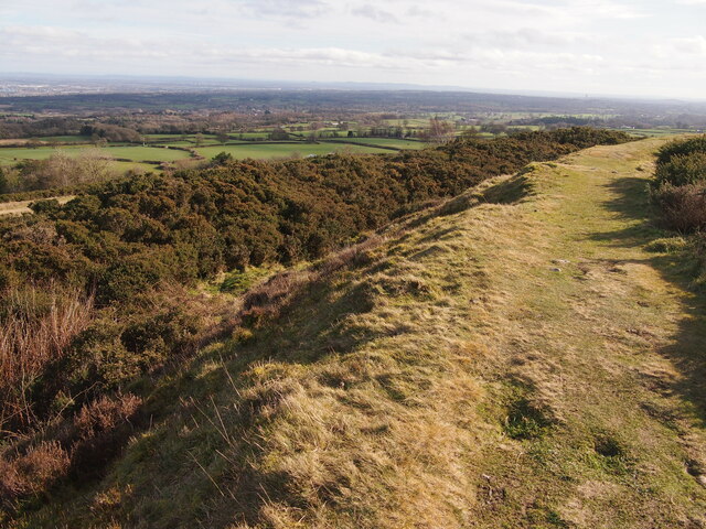
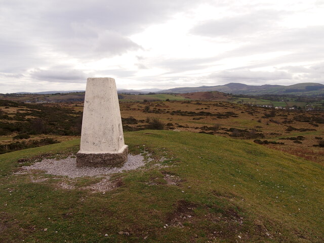
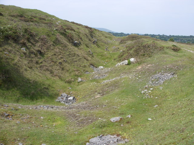
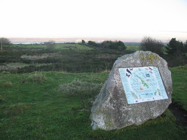
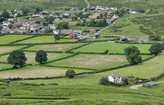
Halkyn Mountain is located in the county of Flintshire, Wales. Rising to a height of 402 meters (1,319 feet), it forms part of the Clwydian Range Area of Outstanding Natural Beauty. This prominent limestone escarpment stretches for approximately 11 kilometers (6.8 miles) from the village of Rhosesmor in the east to the village of Halkyn in the west.
The mountain is renowned for its breathtaking panoramic views, offering visitors a stunning vista of the Dee Estuary, the Wirral Peninsula, and even the distant peaks of Snowdonia on a clear day. The area is a haven for nature enthusiasts, with a diverse range of flora and fauna, including rare and endangered species such as the Duke of Burgundy butterfly and the Great Crested Newt.
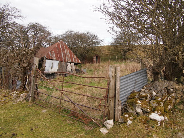
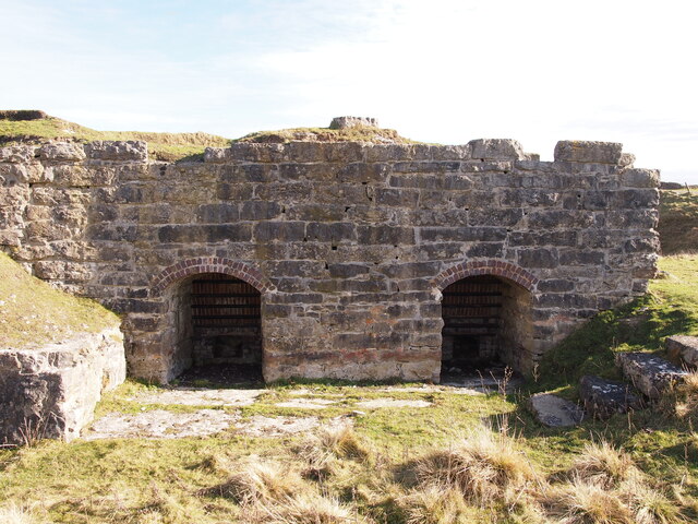
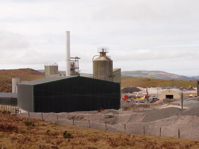
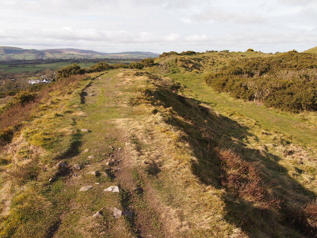
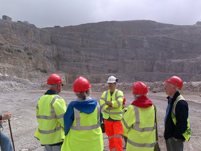
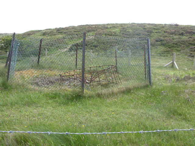
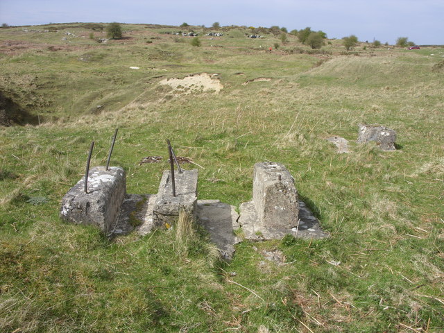
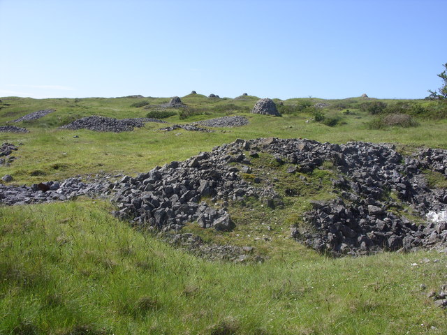
Halkyn Mountain has a rich history, with evidence of human activity dating back thousands of years. Archaeological findings suggest that it was once home to prehistoric settlements, and remnants of Iron Age hillforts can still be seen today. The mountain also played a significant role in the mining industry, particularly during the 18th and 19th centuries when lead and zinc were extracted from its depths.
Today, Halkyn Mountain is a popular destination for outdoor activities such as hiking, mountain biking, and birdwatching. It offers a network of well-maintained footpaths and trails, providing opportunities for both leisurely strolls and more challenging hikes. The mountain's natural beauty, combined with its historical significance, makes it a cherished landmark in Flintshire and a must-visit destination for those seeking to explore the Welsh countryside.
If you have any feedback on the listing, please let us know in the comments section below.
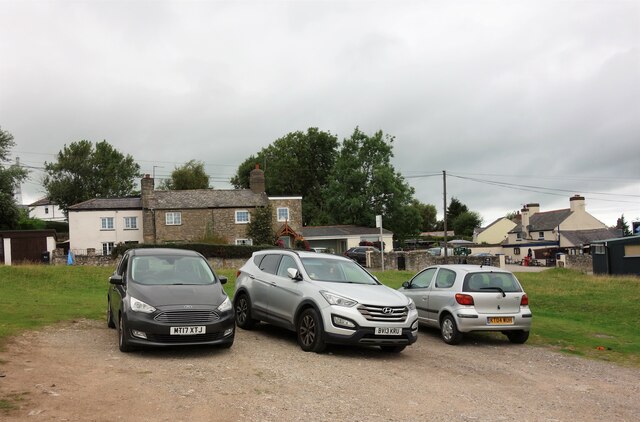
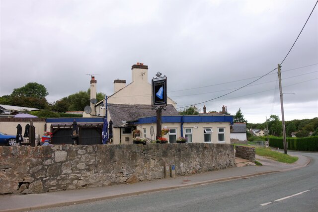
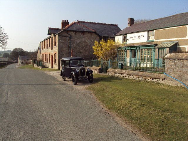
Halkyn Mountain Images
Images are sourced within 2km of 53.221003/-3.1996404 or Grid Reference SJ2070. Thanks to Geograph Open Source API. All images are credited.


Halkyn Mountain is located at Grid Ref: SJ2070 (Lat: 53.221003, Lng: -3.1996404)
Unitary Authority: Flintshire
Police Authority: North Wales
What 3 Words
///mash.conqueror.wacky. Near Halkyn, Flintshire
Nearby Locations
Related Wikis
Halkyn Common and Holywell Grasslands
Halkyn Common and Holywell Grasslands (Welsh: Comin Helygain a Glaswelltiroedd Treffynnon) is a Site of Special Scientific Interest in Flintshire, north...

Halkyn Castle
Halkyn Castle (Welsh: Castell Helygain) is a mansion house in the village of Halkyn, Flintshire, Wales. The house, with its associated stable block, is...
Rhes-y-cae
Rhes-y-cae is a small parish and village in Flintshire, Wales. Literally translated from Welsh, Rhes-y-cae is 'Row of fields'. It is situated between...

Moel y Gaer, Rhosesmor
Moel y Gaer (Welsh for "bald hill of the fortress") is an Iron Age hillfort located on a summit at the southern end of Halkyn Mountain, overlooking the...

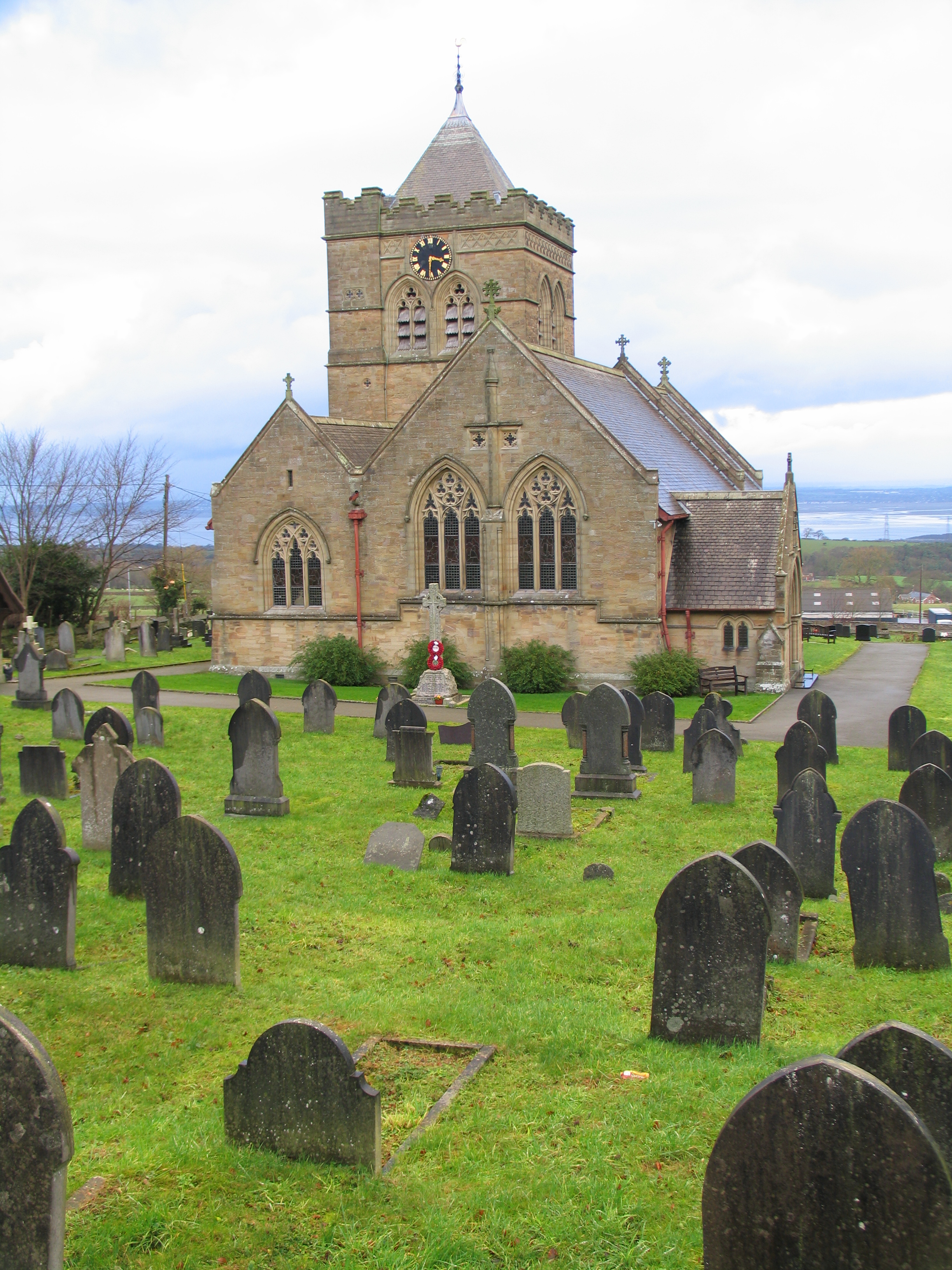
Church of St Mary the Virgin, Halkyn
The Church of St Mary the Virgin, Halkyn is to the north of the village of Halkyn, Flintshire, Wales. It is an active Anglican parish church in the diocese...

Milwr Tunnel
The Milwr Tunnel is a mine drainage adit running some 10 miles from the hamlet of Cadole near Loggerheads, Denbighshire to Bagillt on the Dee Estuary in...
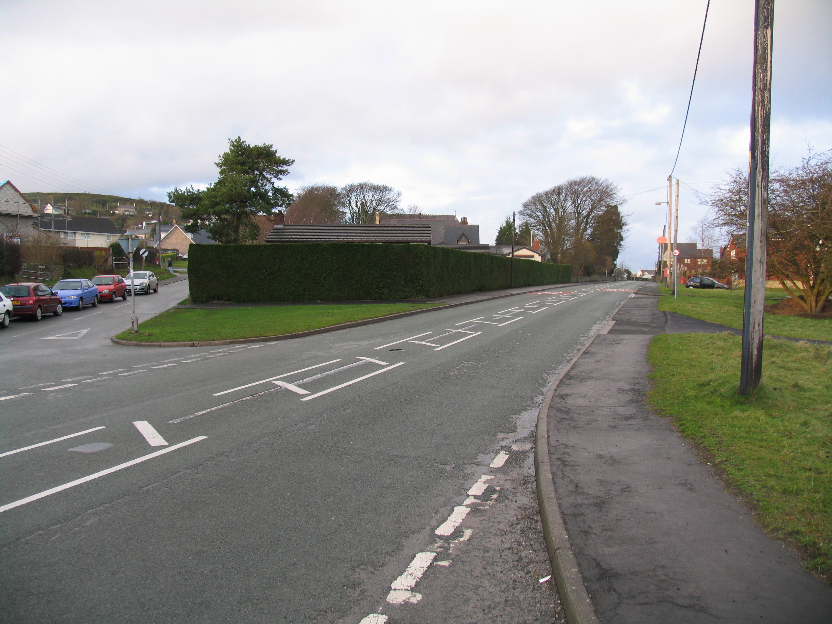
Halkyn
Halkyn (Welsh: Helygain [heˈləgain]; Flintshire Welsh: Lygian [ˈləgjan]) is a village and community in Flintshire, north-east Wales and situated between...
Rhosesmor
Rhosesmor is a small village near Mold, Flintshire, in north-east Wales. The village lies near the parishes of Halkyn and Rhes-y-cae. The hamlet of Wern...
Nearby Amenities
Located within 500m of 53.221003,-3.1996404Have you been to Halkyn Mountain?
Leave your review of Halkyn Mountain below (or comments, questions and feedback).