Angus

Historic County in

Scotland

Angus

Field of bales at Deuchar Harvested field with bales, viewed from the access road to Deuchar.
Field of bales at Deuchar Credit: Scott Cormie

Angus is a historic county located in the eastern part of Scotland. It is bordered by Aberdeenshire to the north, Perth and Kinross to the west, and Fife to the south. The North Sea forms its eastern boundary. The county's administrative center is Forfar, while other notable towns include Arbroath, Montrose, and Brechin.

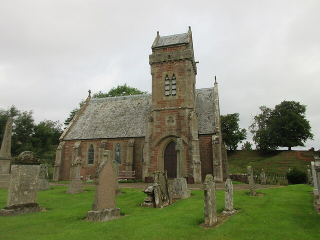
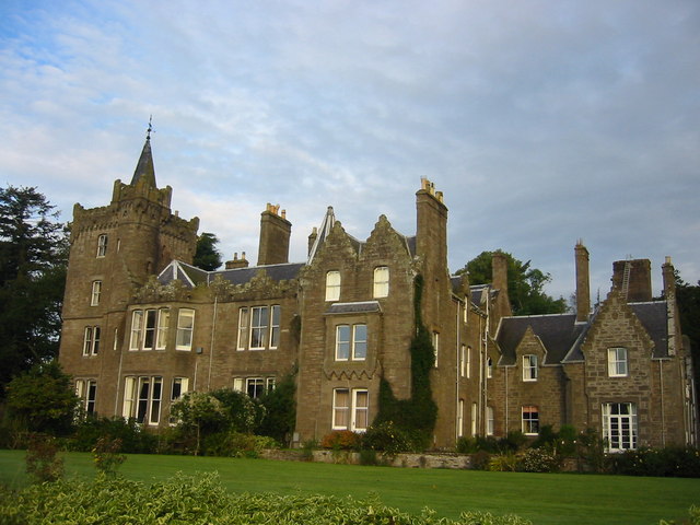
Angus is known for its rich history and diverse landscapes. The county is home to several ancient castles, such as Glamis Castle and Edzell Castle, which attract tourists from around the world. Additionally, the Pictish symbol stones, including the Aberlemno Stones, are significant archaeological finds in the region.

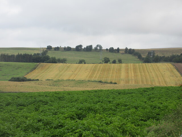
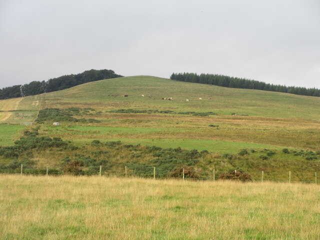
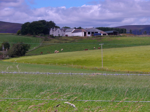
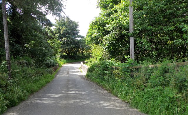
The Angus Glens, a series of picturesque valleys, offer breathtaking scenery and ample opportunities for outdoor activities, including hiking, fishing, and wildlife spotting. The county is also famous for its rugged coastline, which stretches for approximately 60 miles and boasts stunning cliffs, sandy beaches, and charming fishing villages.

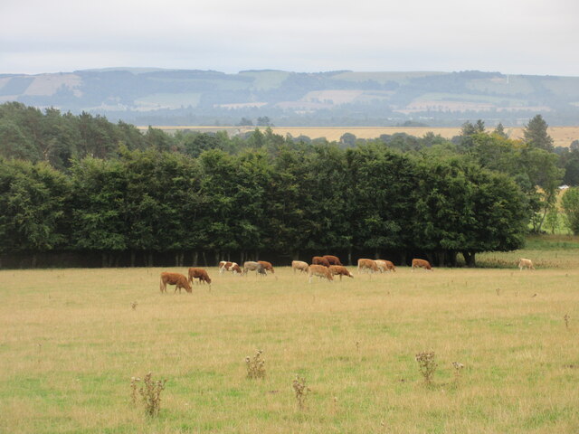
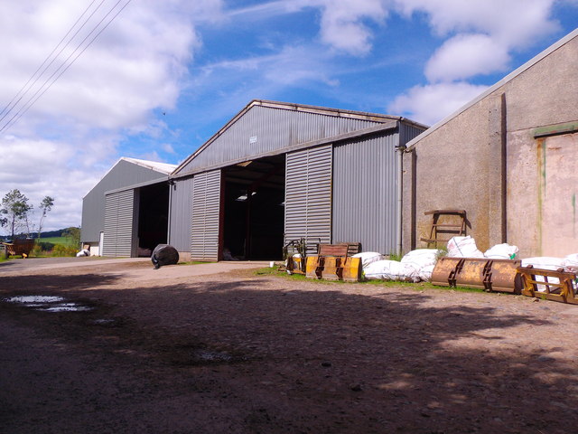
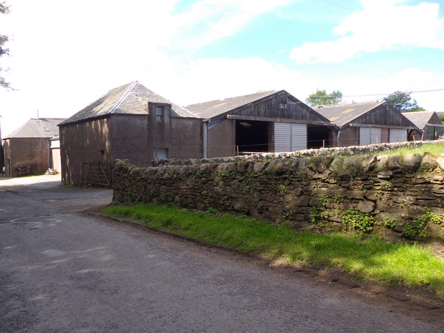
Agriculture has traditionally been a vital part of Angus's economy, with farming and livestock rearing being prominent industries. The county is particularly renowned for its Angus cattle breed, known for its quality beef. In recent years, there has been a diversification of industries, including oil and gas, renewable energy, and tourism.

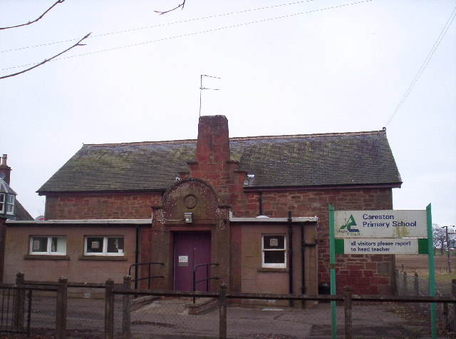
Angus has a population of approximately 115,000 people and is well-connected by road and rail networks. The county offers a range of educational institutions, including Angus College and Webster's High School. It also hosts various cultural events and festivals throughout the year, celebrating its heritage, music, and arts.

If you have any feedback on the listing, please let us know in the comments section below.
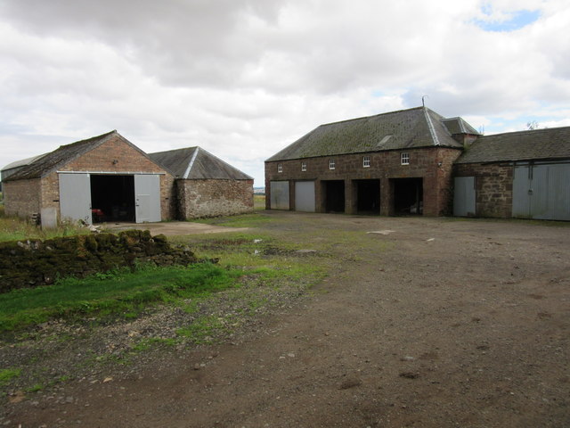
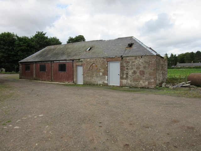
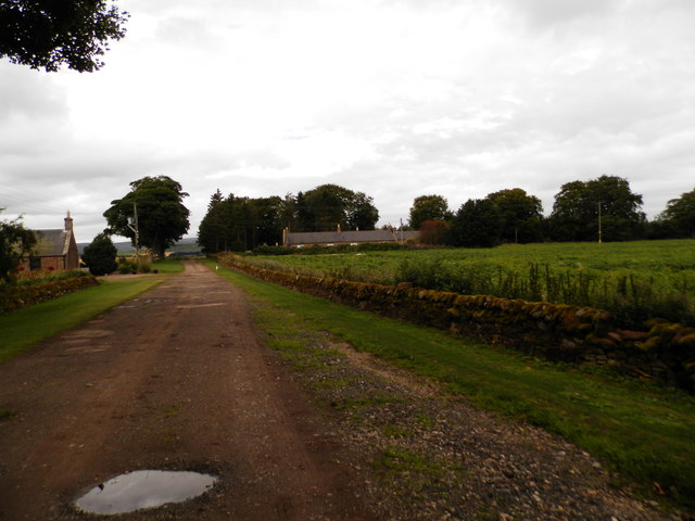
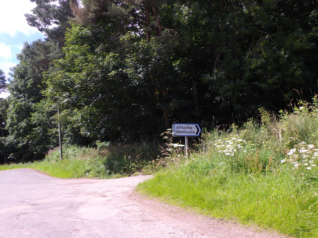
Angus Images

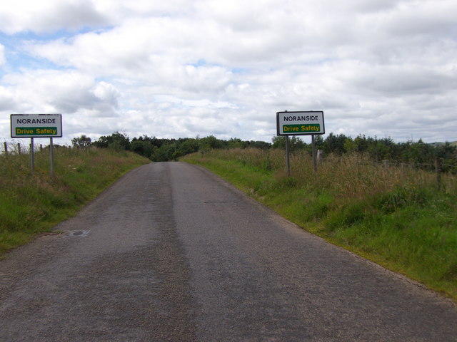
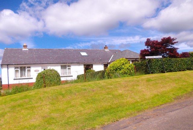
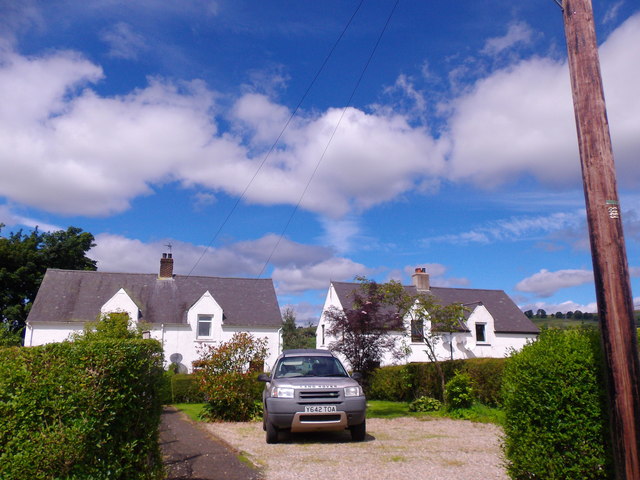
Images are sourced within 2km of 56.7443/-2.8467 or Grid Reference NO4861. Thanks to Geograph Open Source API. All images are credited.

Field of bales at Deuchar Harvested field with bales, viewed from the access road to Deuchar.
Field of bales at Deuchar
Harvested field with bales, viewed from the access road to Deuchar.
Cattle near Noranside Cattle grazing on pastureland near Noranside.
Cattle near Noranside
Cattle grazing on pastureland near Noranside.
Fern Parish Church Looking north in the churchyard to Fern Parish Church.
Fern Parish Church
Looking north in the churchyard to Fern Parish Church.
Cattle feeding A distant view of cattle at feeders from the Afflochie road.
Cattle feeding
A distant view of cattle at feeders from the Afflochie road.
Eastern flank of Well Hill Looking up the eastern side of Well Hill, dotted with cattle.
Eastern flank of Well Hill
Looking up the eastern side of Well Hill, dotted with cattle.
Farm buildings, Vayne
Farm building, Vayne The farm buildings at Vayne belong to the nineteenth century, but much of the stone that was used for their construction was plundered from the nearby Vayne Castle (16th century).  Evidence for this can be seen in the carved panel, or tympanum, set between the two grey doors in this picture.  The image below contains further detail:-

<a title="https://www.geograph.org.uk/photo/766688" href="https://www.geograph.org.uk/photo/766688">Link</a>
Farm building, Vayne
The farm buildings at Vayne belong to the nineteenth century, but much of the stone that was used for their construction was plundered from the nearby Vayne Castle (16th century). Evidence for this can be seen in the carved panel, or tympanum, set between the two grey doors in this picture. The image below contains further detail:- Link
Farm road at Vayne Farm
Afflochie/Glentrusta Junction Off minor road at Balquharn.
Afflochie/Glentrusta Junction
Off minor road at Balquharn.
Shandford Farm buildings By minor road to Fern.
Shandford Farm buildings
By minor road to Fern.
Approach to Shandford On the minor road from the east.
Approach to Shandford
On the minor road from the east.
Entry to Fern On minor road from NE.
Entry to Fern
On minor road from NE.
Fern telephone exchange By minor road; at west end of village.
Fern telephone exchange
By minor road; at west end of village.
View NNW towards Balquhadly From the minor road west out of Fern.
View NNW towards Balquhadly
From the minor road west out of Fern.
Approach to Noranside On minor road from Fern.
Approach to Noranside
On minor road from Fern.
Noranside Cottages Council Houses by minor road from Fern.
Noranside Cottages
Council Houses by minor road from Fern.
Courtford Park, Noranside
Courtford Bridge Minor road over Noran Water.
Courtford Bridge
Minor road over Noran Water.
Show me another place!

Angus is located at Grid Ref: NO4861 (Lat: 56.7443, Lng: -2.8467)

What 3 Words

///pancake.september.mailer. Near Forfar, Angus

Nearby Locations

Fern Angus

Related Wikis

Nearby Amenities

Located within 500m of 56.7443,-2.8467
Fern
Is In: Angus
Name Gd: Feàrn
Old Name: Fearn
Place: village
Lat/Long: 56.7438996/-2.8457875
Bus Stop
Telephone Exchange
Bus: yes
Naptan AtcoCode: 6490IM012
Naptan Bearing: NE
Naptan BusStopType: CUS
Naptan CommonName: Telephone Exchange
Naptan Indicator: opp
Naptan NaptanCode: 26424262
Naptan Street: Unclassified Road
Naptan Verified: no
Public Transport: platform
Source: naptan_import
Lat/Long: 56.7439808/-2.8482823
Bus Stop
Farmerton Road End
Bus: yes
Naptan AtcoCode: 6490IM1703
Naptan Bearing: NE
Naptan BusStopType: CUS
Naptan CommonName: Farmerton Road End
Naptan Indicator: opp
Naptan NaptanCode: 26427234
Naptan Verified: no
Public Transport: platform
Source: naptan_import
Lat/Long: 56.7433913/-2.8526309
Bus Stop
Telephone Exchange
Bus: yes
Local Ref: AT
Naptan AtcoCode: 6490IM1750
Naptan Bearing: E
Naptan BusStopType: CUS
Naptan CommonName: Telephone Exchange
Naptan Indicator: at
Naptan NaptanCode: 26427295
Naptan Street: Unclassified Road
Naptan Verified: no
Public Transport: platform
Source: naptan_import
Lat/Long: 56.7440348/-2.8482821
Bus Stop
Farmerton Road End
Bus: yes
Local Ref: AT
Naptan AtcoCode: 6490IM9088
Naptan Bearing: W
Naptan BusStopType: CUS
Naptan CommonName: Farmerton Road End
Naptan Indicator: at
Naptan NaptanCode: 26425967
Naptan Street: Unclassified Road
Naptan Verified: no
Public Transport: platform
Source: naptan_import
Lat/Long: 56.7433116/-2.8525683
Fern
Traffic Sign: city_limit
Traffic Sign Direction: forward
Lat/Long: 56.7424676/-2.842196
Farmerton
Place: isolated_dwelling
Lat/Long: 56.7415588/-2.8481394
Fern
Traffic Sign: city_limit
Traffic Sign Direction: backward
Lat/Long: 56.744909/-2.8456811
Fern
Traffic Sign: city_limit
Traffic Sign Direction: forward
Lat/Long: 56.7438762/-2.8491627
Ghaist Stane
Archaeological Site: megalith
Historic: archaeological_site
Lat/Long: 56.7443391/-2.8466051
Wellgreen Cottages
Place: isolated_dwelling
Lat/Long: 56.7461498/-2.8525941
Power: pole
Lat/Long: 56.7414996/-2.8530201
Power: pole
Lat/Long: 56.7417193/-2.8520727
Power: pole
Lat/Long: 56.7419351/-2.8511018
Power: pole
Lat/Long: 56.742138/-2.8501662
Power: pole
Lat/Long: 56.7421406/-2.8490327
Power: pole
Lat/Long: 56.7425891/-2.8511159
Power: pole
Lat/Long: 56.7429807/-2.8519714
Power: pole
Lat/Long: 56.7433361/-2.8527255
Power: pole
Lat/Long: 56.7437496/-2.8528363
Power: pole
Lat/Long: 56.7445625/-2.8530295
Power: pole
Lat/Long: 56.7452345/-2.8531638
Power: pole
Lat/Long: 56.7456674/-2.8528292
Power: pole
Lat/Long: 56.7461468/-2.8524521
Power: pole
Lat/Long: 56.7466017/-2.8526383
Power: pole
Lat/Long: 56.7470914/-2.8528551
Power: pole
Lat/Long: 56.7432546/-2.8533311
Power: pole
Lat/Long: 56.7416728/-2.8491435
Power: pole
Lat/Long: 56.7412295/-2.8481678
Power: pole
Lat/Long: 56.7407914/-2.8472393
Power: pole
Lat/Long: 56.7403429/-2.8462849
Power: pole
Lat/Long: 56.7398918/-2.8453187
Power: pole
Lat/Long: 56.7421432/-2.8479074
Power: pole
Lat/Long: 56.7421471/-2.8467739
Power: pole
Lat/Long: 56.7421406/-2.8461023
Power: pole
Lat/Long: 56.7423371/-2.8449216
Power: pole
Lat/Long: 56.742509/-2.8439083
Power: pole
Lat/Long: 56.7426627/-2.8429397
Power: pole
Lat/Long: 56.7428876/-2.84162
Power: pole
Lat/Long: 56.7430324/-2.840741
Power: pole
Lat/Long: 56.7431849/-2.8398195
Power: pole
Lat/Long: 56.7435984/-2.8388109
The data included in this document is from www.openstreetmap.org. The data is made available under ODbL.

Have you been to Angus?

Leave your review of Angus below (or comments, questions and feedback).