Aberdeenshire

Historic County in

Scotland

Aberdeenshire

Clyan's dam - Reflections
Clyan's dam - Reflections Credit: Doug Mortimer

Aberdeenshire is a historic county in northeastern Scotland, situated on the country's east coast. It is bordered by the counties of Moray to the north, Angus to the south, and Perth and Kinross to the southwest. The North Sea forms its eastern boundary, providing the county with a rugged and picturesque coastline.

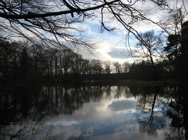
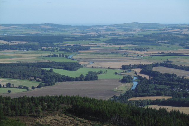
Covering an area of approximately 2,400 square miles (6,200 square kilometers), Aberdeenshire is known for its diverse landscapes, ranging from fertile farmland and rolling hills to majestic mountains, such as the Cairngorms and Grampians. The county also includes several rivers, including the Dee, Don, and Ythan, which have played a significant role in shaping the region's history and economy.

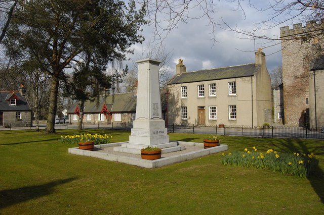
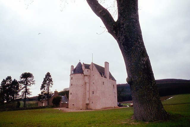
Aberdeenshire is home to a rich historical and cultural heritage, with numerous castles, stone circles, and ancient monuments scattered throughout the region. One of its most famous landmarks is the dramatic ruins of Dunnottar Castle, perched on a cliff overlooking the North Sea.

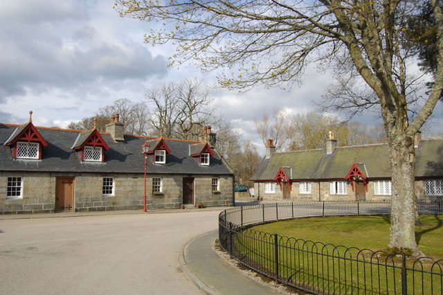
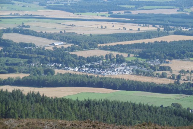
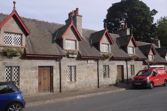
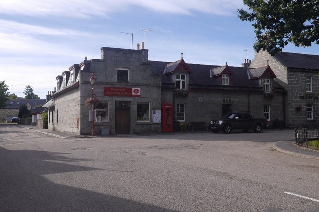
The county's largest settlement is Aberdeen, a vibrant city known for its granite architecture, bustling harbor, and thriving oil industry. However, Aberdeenshire is predominantly rural, dotted with charming towns and villages that offer a glimpse into traditional Scottish life.

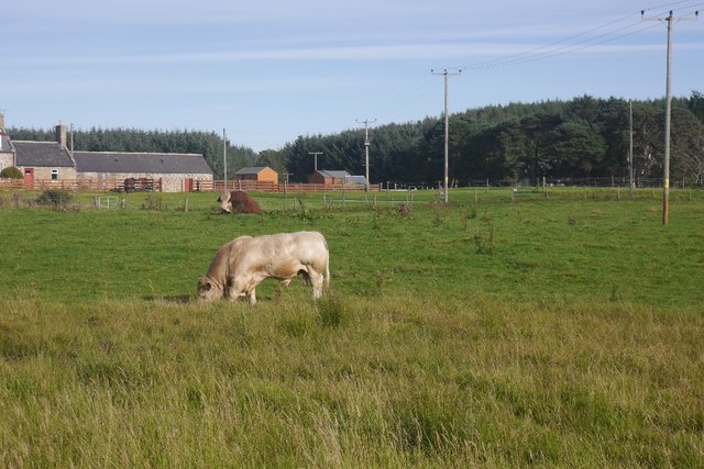
The county is renowned for its agricultural productivity, particularly in the production of barley for whisky distilleries. It is also known for its fishing industry, which has historically been centered around the bustling harbors of Peterhead and Fraserburgh.

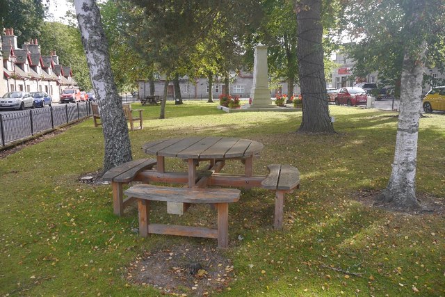
With its stunning landscapes, rich history, and vibrant culture, Aberdeenshire is a popular destination for outdoor enthusiasts, history buffs, and those seeking a taste of authentic Scottish life.

If you have any feedback on the listing, please let us know in the comments section below.

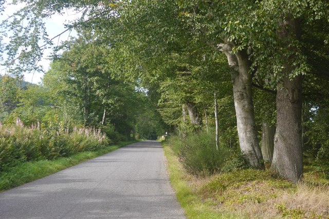
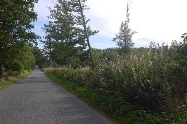
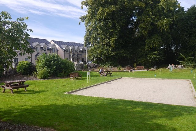
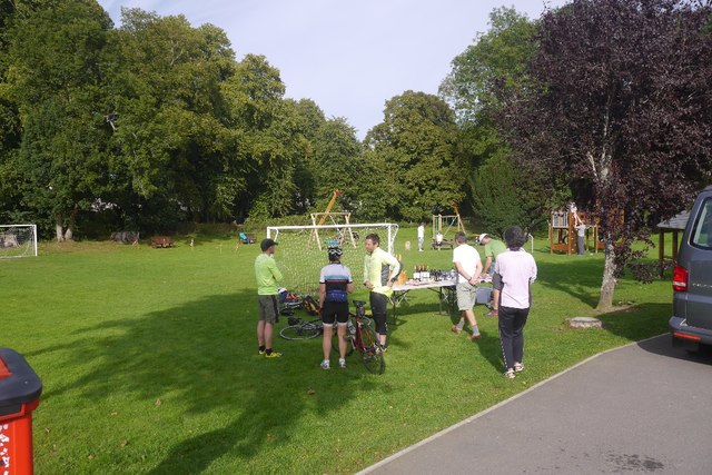
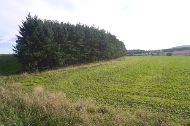
Aberdeenshire Images

Images are sourced within 2km of 57.2282/-2.5245 or Grid Reference NJ6815. Thanks to Geograph Open Source API. All images are credited.

Clyan's dam - Reflections
14 and 15 Monymusk Square Terraced cottages facing the village green at Monymusk.  They were built around 1840 and the mock-Tudor gables were added around 1890.
14 and 15 Monymusk Square
Terraced cottages facing the village green at Monymusk. They were built around 1840 and the mock-Tudor gables were added around 1890.
Monymusk war memorial... ...at the centre of the village green.  This side of the monument lists the 11 men who fell in World War II.  In the right background is the A-listed Monymusk Parish Church.
Monymusk war memorial...
...at the centre of the village green. This side of the monument lists the 11 men who fell in World War II. In the right background is the A-listed Monymusk Parish Church.
Pitfichie Castle
Pitfichie Castle
Monymusk The village, with new houses mirroring the 19th century developments, seen from the summit of Cairn William.
Monymusk
The village, with new houses mirroring the 19th century developments, seen from the summit of Cairn William.
River Don, Monymusk View towards Aberdeen ( hidden behind Brimmond Hill on the horizon) from Cairn William.
River Don, Monymusk
View towards Aberdeen ( hidden behind Brimmond Hill on the horizon) from Cairn William.
Lurking round bale A silage bale and fine view of Mither Tap at Ardneidly by Monymusk.
Lurking round bale
A silage bale and fine view of Mither Tap at Ardneidly by Monymusk.
Pallet and field, Ardneidly Pallets make good informal gates.
Pallet and field, Ardneidly
Pallets make good informal gates.
Roadside strip, Pitfichie A good time to be on the road: runners were on Pitfichie Hill in a hill race and had only just cleared this bit of road. The strip on the right has some mature beeches.
Roadside strip, Pitfichie
A good time to be on the road: runners were on Pitfichie Hill in a hill race and had only just cleared this bit of road. The strip on the right has some mature beeches.
Greenbogs Wood A small wood near Monymusk.
Greenbogs Wood
A small wood near Monymusk.
Park, Monymusk An area set aside for Pétanque with the hill runners course marked coming in from the road. At this time runners were climbing Pitfichie Hill and Cairn William.  Across the road there are some new houses arranged in a square like the older village centre.
Park, Monymusk
An area set aside for Pétanque with the hill runners course marked coming in from the road. At this time runners were climbing Pitfichie Hill and Cairn William. Across the road there are some new houses arranged in a square like the older village centre.
Event HQ, Cosmic Hill Runners A hill race was in progress on Cairn William, and the prizes look appetising.  We never got bottles of wine when orienteering - then again, hill runners often miss out on the often beautiful maps.
Event HQ, Cosmic Hill Runners
A hill race was in progress on Cairn William, and the prizes look appetising. We never got bottles of wine when orienteering - then again, hill runners often miss out on the often beautiful maps.
Monymusk Square Just the place to blob out when out on the bike (I was not), with picnic tables in the centre of the village. Over the road there were teas in the Community Hall.
Monymusk Square
Just the place to blob out when out on the bike (I was not), with picnic tables in the centre of the village. Over the road there were teas in the Community Hall.
Monymusk Late 19th century houses in a planned village.
Monymusk
Late 19th century houses in a planned village.
Post office, Monymusk On the square.
Post office, Monymusk
On the square.
The hill runners return Finish run in for the hill race up Cairn William.
The hill runners return
Finish run in for the hill race up Cairn William.
Bulls, Dalbraidie
Bulls, Dalbraidie
Field and shelter belt Taken after parking at one of the NEOS (North East Open Studios) venues.
Field and shelter belt
Taken after parking at one of the NEOS (North East Open Studios) venues.
Show me another place!

Aberdeenshire is located at Grid Ref: NJ6815 (Lat: 57.2282, Lng: -2.5245)

What 3 Words

///paddock.overlooks.dubbing. Near Sauchen, Aberdeenshire

Related Wikis

Related Videos

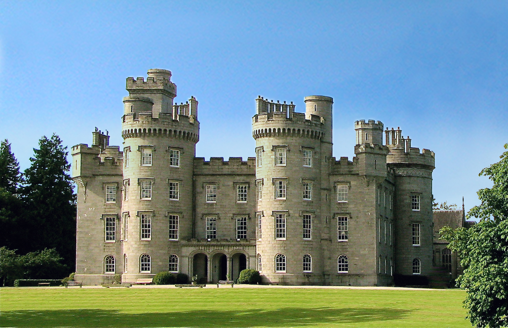
Cluny Castle - Aberdeenshire

The private grounds of Cluny Castle.
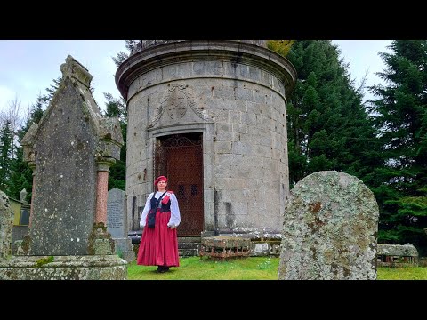
Fraser Mausoleum

The Fraser Mausoleum was built for Miss Elyza Fraser of Fraser Castle. The drum-shaped mausoleum is topped by a dome with ...

Probably my favourite trail at Pitfichie - Scotland

Was up here a couple of months back and while most trails were really muddy and blown out this was just right so we ended up ...

Nearby Amenities

Located within 500m of 57.2282,-2.5245
Monymusk
Is In: Aberdeenshire
Place: village
Lat/Long: 57.2270003/-2.5239651
Recycling
Lat/Long: 57.2273039/-2.5240339
Post Office
Monymusk Post Office
Addr Country: GB
Addr Postcode: AB51 7HJ
Brand: Post Office
Brand Wikidata: Q1783168
Contact Website: https://www.postoffice.co.uk/branch-finder/1518011/monymusk
Ref Pol Id: 2911
Lat/Long: 57.2265827/-2.524592
Grant Arms Hotel
Tourism: hotel
Lat/Long: 57.2267962/-2.5247099
War Memorial
Historic: memorial
Memorial: obelisk
Lat/Long: 57.2268225/-2.5243293
Place Of Worship
Monymusk Parish Church
Denomination: church_of_scotland
Religion: christian
Wikidata: Q6906982
Lat/Long: 57.2268921/-2.5235675
Townhall
Community Hall
Lat/Long: 57.2271535/-2.5238572
Bus Stop
The Square
Bench: no
Bin: no
Bus: yes
Lit: yes
Naptan AtcoCode: 630032481
Naptan Bearing: N
Naptan CommonName: The Square
Naptan Indicator: at
Naptan NaptanCode: 23624349
Naptan Street: The Square
Naptan Verified: no
Public Transport: platform
Shelter: no
Tactile Paving: no
Lat/Long: 57.2267036/-2.5245932
Bus Stop
Road End
Bus: yes
Naptan AtcoCode: 630060681
Naptan Bearing: W
Naptan BusStopType: CUS
Naptan CommonName: Road End
Naptan Indicator: opp
Naptan NaptanCode: 23624353
Naptan Street: B993
Naptan Verified: no
Public Transport: platform
Lat/Long: 57.2239736/-2.5232561
Bus Stop
Road End
Bench: no
Bin: no
Bus: yes
Lit: yes
Naptan AtcoCode: 630032011
Naptan Bearing: E
Naptan CommonName: Road End
Naptan Indicator: at
Naptan NaptanCode: 23624352
Naptan Street: B993
Naptan Verified: no
Public Transport: platform
Shelter: yes
Tactile Paving: no
Lat/Long: 57.2240244/-2.5241386
Defibrillator
Defibrillator Access: outside
Defibrillator Location: Outside wall ref AE59
Emergency: defibrillator
Indoor: no
Ref: iPad AED
Ref MMM: AE59
Lat/Long: 57.2272087/-2.5238723
Noexit: yes
Lat/Long: 57.227161/-2.5228281
Material: wood
Power: pole
Lat/Long: 57.2247843/-2.5197118
Material: wood
Power: pole
Lat/Long: 57.2247942/-2.5210748
Material: wood
Power: pole
Lat/Long: 57.2247306/-2.5217644
Power: pole
Lat/Long: 57.2244429/-2.524844
Material: wood
Power: pole
Lat/Long: 57.224337/-2.5259981
Material: wood
Power: pole
Lat/Long: 57.2242791/-2.5265855
Material: wood
Power: pole
Lat/Long: 57.2242531/-2.5272117
Power: pole
Lat/Long: 57.2308192/-2.5306998
Power: pole
Lat/Long: 57.2302212/-2.5298808
Power: pole
Lat/Long: 57.2296671/-2.5291171
Power: pole
Lat/Long: 57.2292879/-2.5282645
Power: pole
Lat/Long: 57.2288992/-2.5274131
Power: pole
Lat/Long: 57.2287541/-2.5270542
Power: pole
Lat/Long: 57.2247776/-2.526793
Power: pole
Lat/Long: 57.2253146/-2.5270253
Power: pole
Lat/Long: 57.2257615/-2.5271949
Power: pole
Lat/Long: 57.2262597/-2.5272433
Power: pole
Lat/Long: 57.2295292/-2.5226342
Power: pole
Lat/Long: 57.2296507/-2.5223106
Power: pole
Lat/Long: 57.2300714/-2.5211789
Power: pole
Lat/Long: 57.2303502/-2.5208487
Power: pole
Lat/Long: 57.2307912/-2.5203247
Power: pole
Lat/Long: 57.2314144/-2.5197875
Noexit: yes
Lat/Long: 57.2270192/-2.5262993
Power: pole
Lat/Long: 57.2245598/-2.5235548
Stop
Direction: backward
Lat/Long: 57.2240284/-2.5232525
Power: pole
Lat/Long: 57.2246428/-2.5226397
The data included in this document is from www.openstreetmap.org. The data is made available under ODbL.

Have you been to Aberdeenshire?

Leave your review of Aberdeenshire below (or comments, questions and feedback).