Jock's Pot

Lake, Pool, Pond, Freshwater Marsh in Aberdeenshire

Scotland

Jock's Pot

Farmland by Bairdaff Fields by woodland at Blairdaff with Scare Hill behind.
Farmland by Bairdaff Credit: Andrew Wood

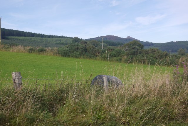
Jock's Pot, located in Aberdeenshire, Scotland, is a picturesque freshwater marsh that encompasses a lake, pool, pond, and surrounding wetland ecosystem. Spanning an area of approximately 5 acres, it is a prominent feature of the local landscape and a popular destination for nature enthusiasts.

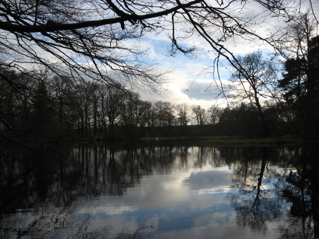
The main highlight of Jock's Pot is its serene lake, which serves as a focal point for the entire area. The lake is relatively small, measuring around 200 meters in length and 150 meters in width. Its waters are generally calm and clear, providing a reflective surface that mirrors the surrounding lush greenery and vibrant wildflowers.

Adjacent to the lake, there is a pool and a smaller pond that add diversity to the landscape. These water bodies support a variety of aquatic plant species and serve as important habitats for numerous amphibians and insects. The pool, in particular, is known for its abundance of water lilies, which create a stunning display during the blooming season.

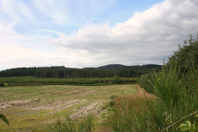
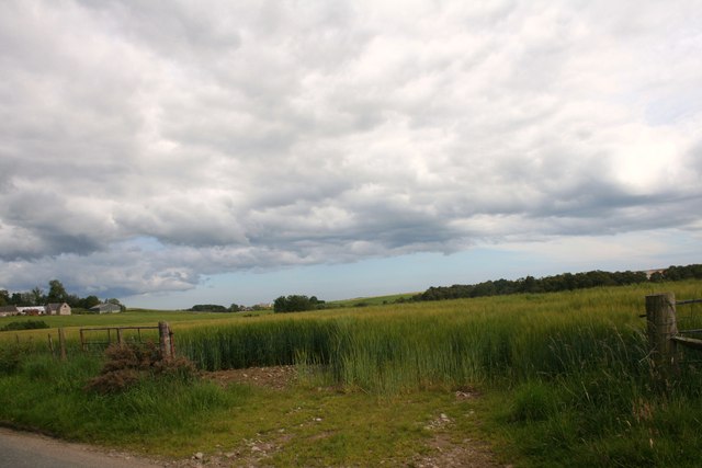
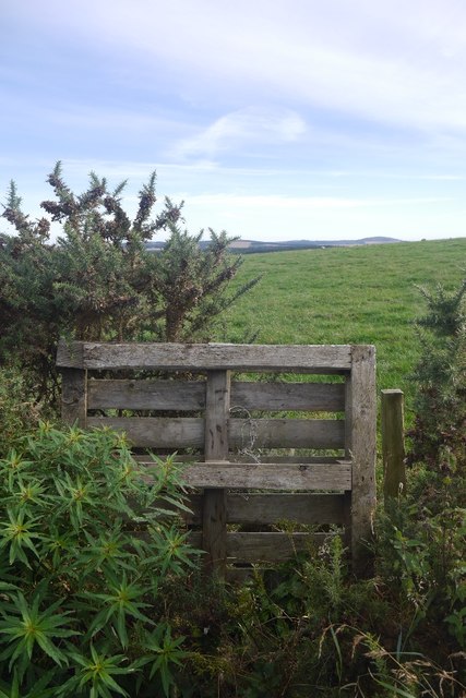
The surrounding freshwater marsh comprises reed beds, sedges, and other wetland vegetation, offering a suitable habitat for a wide range of wildlife. Bird watchers frequent the area, as it attracts various waterfowl such as ducks, swans, and herons. Additionally, the marshland is home to numerous insects, small mammals, and even occasional sightings of otters.

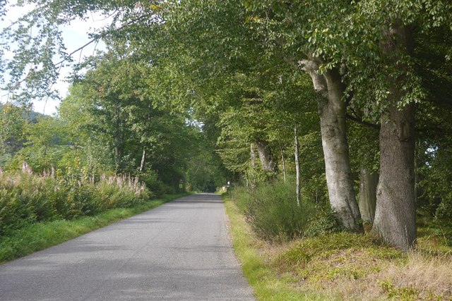
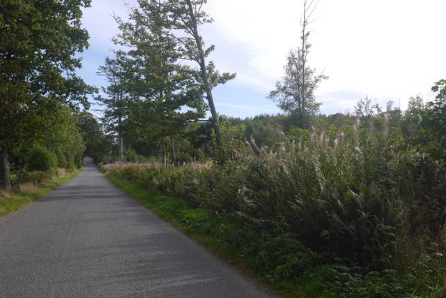
Jock's Pot is a tranquil haven where visitors can enjoy the beauty of nature, observe wildlife, and take leisurely walks along the designated paths that wind through the area. It provides a valuable ecosystem that supports biodiversity and serves as a vital natural resource for the local community.

If you have any feedback on the listing, please let us know in the comments section below.
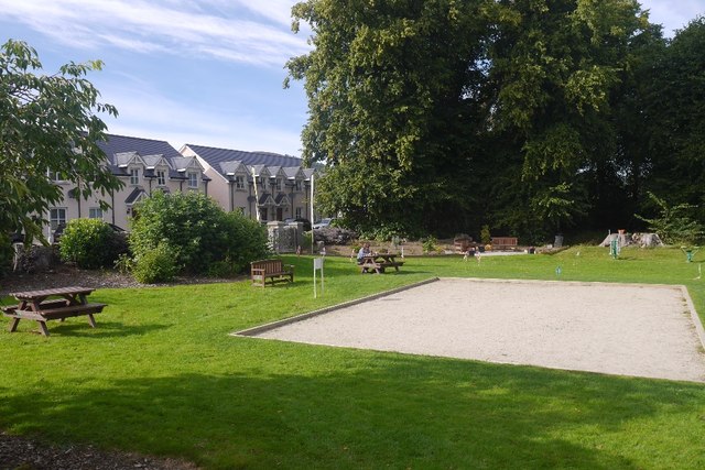
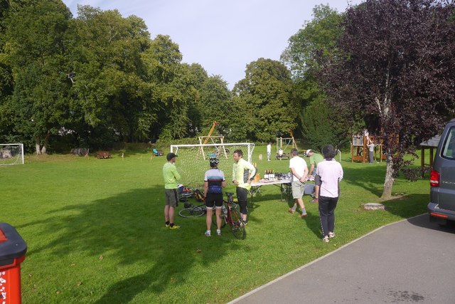
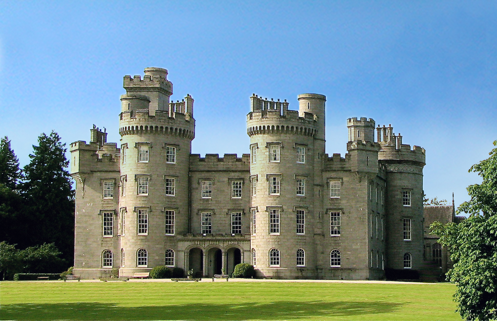
Jock's Pot Images

Images are sourced within 2km of 57.233399/-2.5290672 or Grid Reference NJ6815. Thanks to Geograph Open Source API. All images are credited.

Farmland by Bairdaff Fields by woodland at Blairdaff with Scare Hill behind.
Farmland by Bairdaff
Fields by woodland at Blairdaff with Scare Hill behind.
Barley Field Barley in a field by Blairdaff.
Barley Field
Barley in a field by Blairdaff.
Clyan's dam - Reflections
14 and 15 Monymusk Square Terraced cottages facing the village green at Monymusk.  They were built around 1840 and the mock-Tudor gables were added around 1890.
14 and 15 Monymusk Square
Terraced cottages facing the village green at Monymusk. They were built around 1840 and the mock-Tudor gables were added around 1890.
Monymusk war memorial... ...at the centre of the village green.  This side of the monument lists the 11 men who fell in World War II.  In the right background is the A-listed Monymusk Parish Church.
Monymusk war memorial...
...at the centre of the village green. This side of the monument lists the 11 men who fell in World War II. In the right background is the A-listed Monymusk Parish Church.
Pitfichie Castle
Pitfichie Castle
Monymusk The village, with new houses mirroring the 19th century developments, seen from the summit of Cairn William.
Monymusk
The village, with new houses mirroring the 19th century developments, seen from the summit of Cairn William.
River Don, Monymusk View towards Aberdeen ( hidden behind Brimmond Hill on the horizon) from Cairn William.
River Don, Monymusk
View towards Aberdeen ( hidden behind Brimmond Hill on the horizon) from Cairn William.
Track junction On the left is a steep path to the col between Pitfichie Hill and Cairn William. This gave a brake melting steep descent.
Track junction
On the left is a steep path to the col between Pitfichie Hill and Cairn William. This gave a brake melting steep descent.
Logging road, Pitfichie Forest Waymarked as the "White" route by the Forestry Commission.
Logging road, Pitfichie Forest
Waymarked as the "White" route by the Forestry Commission.
Track, Pitmunie There are two tracks leaving the road here: this is a field access while next door there is a road (muddy path further up) into Pitfichie Forest.
Track, Pitmunie
There are two tracks leaving the road here: this is a field access while next door there is a road (muddy path further up) into Pitfichie Forest.
Road, Pitmunie Passing Brankinetum Wood on the left.
Road, Pitmunie
Passing Brankinetum Wood on the left.
Lurking round bale A silage bale and fine view of Mither Tap at Ardneidly by Monymusk.
Lurking round bale
A silage bale and fine view of Mither Tap at Ardneidly by Monymusk.
Pallet and field, Ardneidly Pallets make good informal gates.
Pallet and field, Ardneidly
Pallets make good informal gates.
Roadside strip, Pitfichie A good time to be on the road: runners were on Pitfichie Hill in a hill race and had only just cleared this bit of road. The strip on the right has some mature beeches.
Roadside strip, Pitfichie
A good time to be on the road: runners were on Pitfichie Hill in a hill race and had only just cleared this bit of road. The strip on the right has some mature beeches.
Greenbogs Wood A small wood near Monymusk.
Greenbogs Wood
A small wood near Monymusk.
Park, Monymusk An area set aside for Pétanque with the hill runners course marked coming in from the road. At this time runners were climbing Pitfichie Hill and Cairn William.  Across the road there are some new houses arranged in a square like the older village centre.
Park, Monymusk
An area set aside for Pétanque with the hill runners course marked coming in from the road. At this time runners were climbing Pitfichie Hill and Cairn William. Across the road there are some new houses arranged in a square like the older village centre.
Event HQ, Cosmic Hill Runners A hill race was in progress on Cairn William, and the prizes look appetising.  We never got bottles of wine when orienteering - then again, hill runners often miss out on the often beautiful maps.
Event HQ, Cosmic Hill Runners
A hill race was in progress on Cairn William, and the prizes look appetising. We never got bottles of wine when orienteering - then again, hill runners often miss out on the often beautiful maps.
Show me another place!

Jock's Pot is located at Grid Ref: NJ6815 (Lat: 57.233399, Lng: -2.5290672)

Unitary Authority: Aberdeenshire

Police Authority: North East

What 3 Words

///bypasses.firewall.described. Near Kemnay, Aberdeenshire

Related Wikis

Monymusk

Monymusk (Scottish Gaelic: Monadh Musga) is a planned village in the Marr area of Aberdeenshire, Scotland. == History == Malcolm Canmore first established...

Monymusk Parish Church

Monymusk Parish Church (also known as the Church of the Blessed Mary) is located in Monymusk, Aberdeenshire, Scotland. It is of Church of Scotland denomination...

House of Monymusk

The House of Monymusk is located on the outskirts of the Scottish village of Monymusk, in the Marr region of Aberdeenshire. The house is located near the...

Monymusk railway station

Monymusk railway station was a station on the Alford Valley Railway in Monymusk, Aberdeenshire, Scotland. The station opened on 25 March 1859 and closed...

Blairdaff

Blairdaff is a parish in Garioch, Aberdeenshire, Scotland, next to the villages of Kemnay and Monymusk. Blairdaff had a grocery store, a post office, and...

Bograxie

Bograxie is a farm in Aberdeenshire, Scotland. == References ==

Cluny Castle

Cluny Castle was originally built c.1604 as a Z-plan castle replacing either a house or small peel tower. Sited in the parish of Cluny, it is south of...

Fetternear Palace

Fetternear Bishop's Palace is an archaeological site of what was one of the palaces (or residences) of the medieval bishops of Aberdeen. It is near Kemnay...

Nearby Amenities

Located within 500m of 57.233399,-2.5290672
Power: pole
Lat/Long: 57.2328806/-2.5328398
Power: pole
Lat/Long: 57.2324386/-2.5321881
Power: pole
Lat/Long: 57.2317701/-2.5317522
Power: pole
Lat/Long: 57.2313959/-2.5314968
Power: pole
Lat/Long: 57.2308192/-2.5306998
Power: pole
Lat/Long: 57.2302212/-2.5298808
Power: pole
Lat/Long: 57.2296671/-2.5291171
Power: pole
Lat/Long: 57.2292879/-2.5282645
The data included in this document is from www.openstreetmap.org. The data is made available under ODbL.

Have you been to Jock's Pot?

Leave your review of Jock's Pot below (or comments, questions and feedback).