Fern
Settlement in Angus
Scotland
Fern
Fern, Angus is a small coastal town located in the northeast of Scotland, within the county of Angus. Situated on the eastern shores of Scotland, Fern is known for its picturesque beauty, offering stunning views of the North Sea. The town is home to a population of approximately 2,500 residents, creating a close-knit and welcoming community.
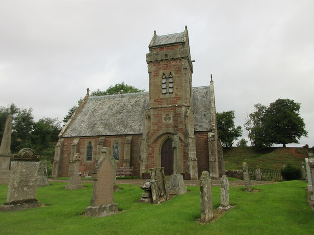
One of the main attractions of Fern is its rich history. The town dates back to medieval times, and remnants of its past can still be seen today. The ruins of Fern Castle, a 12th-century fortress, stand proudly on a hill overlooking the town, serving as a reminder of Fern's ancient heritage.
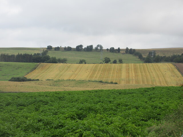
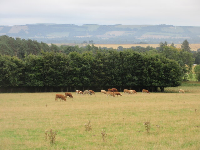
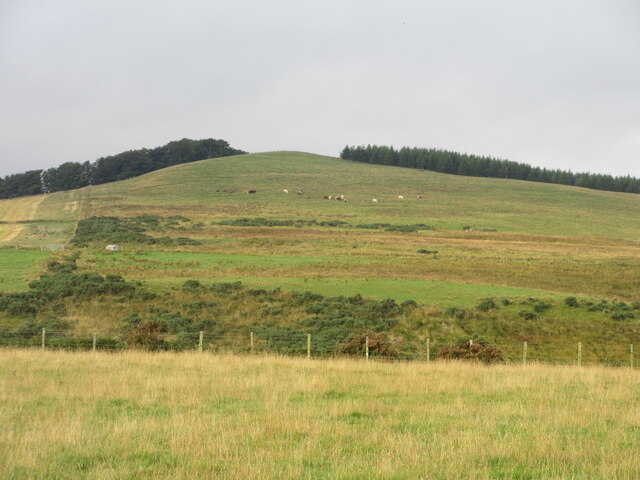
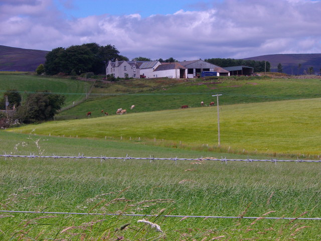
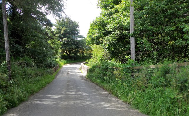
In addition to its historical significance, Fern is also renowned for its natural beauty. The town's coastline is dotted with sandy beaches and rugged cliffs, providing a perfect setting for outdoor activities such as hiking, fishing, and bird-watching. Nature enthusiasts can explore the nearby Fern Forest, a woodland area teeming with diverse flora and fauna.
Fern boasts a range of amenities for both residents and visitors. The town offers a variety of shops, cafes, and restaurants, where visitors can sample local delicacies and immerse themselves in the friendly atmosphere. For those seeking cultural experiences, Fern hosts several annual events and festivals, showcasing traditional Scottish music, dance, and crafts.
Overall, Fern, Angus is a charming coastal town brimming with history, natural beauty, and a strong sense of community. Whether you are looking to explore its medieval ruins, enjoy outdoor activities, or simply unwind in a peaceful seaside setting, Fern offers a delightful destination for visitors of all ages.
If you have any feedback on the listing, please let us know in the comments section below.
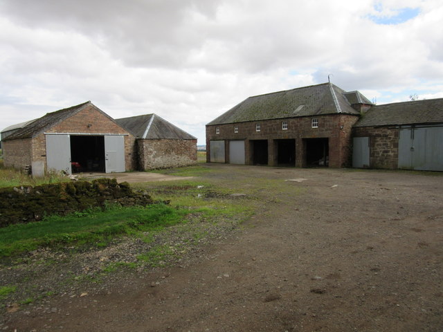
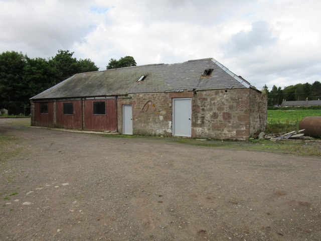
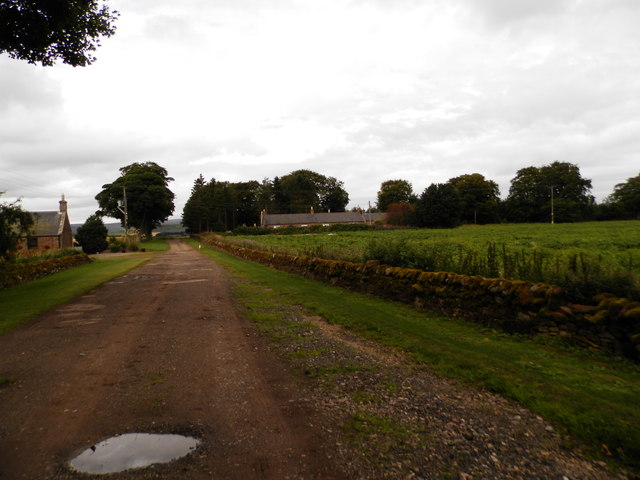
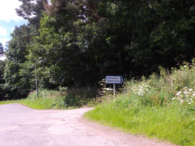
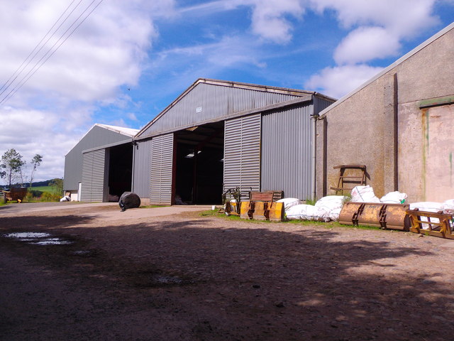
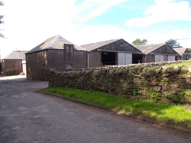
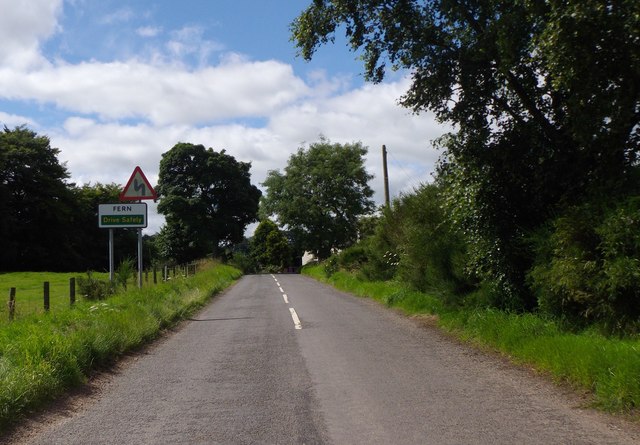
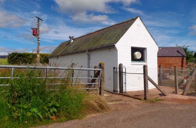
Fern Images
Images are sourced within 2km of 56.744315/-2.8467581 or Grid Reference NO4861. Thanks to Geograph Open Source API. All images are credited.

Fern is located at Grid Ref: NO4861 (Lat: 56.744315, Lng: -2.8467581)
Unitary Authority: Angus
Police Authority: Tayside
What 3 Words
///retrain.loaning.goggles. Near Forfar, Angus
Related Wikis

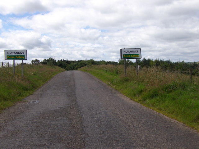
Noranside
Noranside is a hamlet in Angus, Scotland, located at 56° 44' 0" North, 2° 52' 0" West,. The prison HMP Noranside was operated there from 1966 to 2011....

Auchnacree
Auchnacree is an estate in Angus, Scotland, five miles north of Forfar.In 1921 the estate overseer, Mr Frank Rae, discovered what is now called the Auchnacree...
Tannadice railway station
Tannadice railway station served the village of Tannadice, Angus, Scotland, from 1895 to 1952 on the Forfar and Brechin Railway. == History == The station...

Tannadice, Angus
Tannadice is a village in Angus, Scotland that lies on the River South Esk and is 4 miles north of Forfar. The estate of Tannadice was formerly owned by...
Nearby Amenities
Located within 500m of 56.744315,-2.8467581Have you been to Fern?
Leave your review of Fern below (or comments, questions and feedback).